

Climbers in your pocket
Offline maps of every province, a climb recorder that keeps going with the screen off, safety tools that work without signal, and trails shared by climbers - free.
Version 1.5.0 · 79 MB · Android 7 and newer
Made for the mountains
-
Maps that work without internet
Download your province once: contours, hillshade, slope and trails, all on the phone. Satellite imagery and daily snow cover when you are online.
-
Record your climb
Distance, ascent and time with the screen off and the phone in your pocket. Follow a route and get warned when you leave it.
-
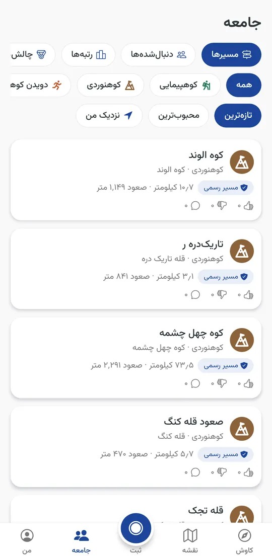
Share your trails
Publish a recording or a GPX file as a hike, a climb, a bike ride or a run. Others like it and comment, and the people who follow you hear about it.
See the trails on the website -
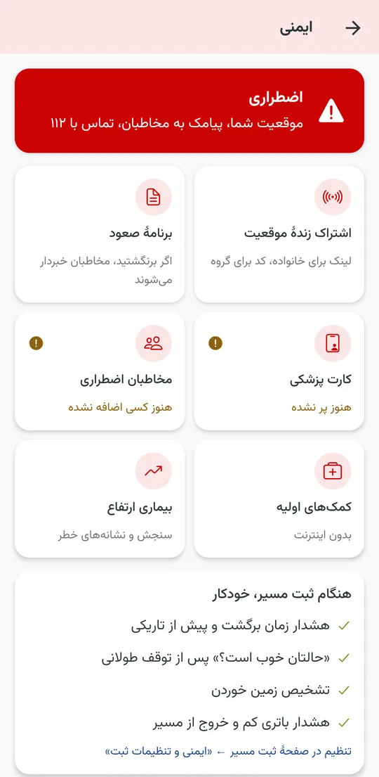
Safety in one place
SOS by text with your coordinates, a medical card, emergency contacts, offline first aid and altitude sickness, together on one page. Turnaround and dusk alarms, "are you OK?" after a long stop and fall detection while you record.
-
Live location for your family
Send a link and they follow you on a map in the browser, no app needed; a group code keeps a team together on the mountain.
-
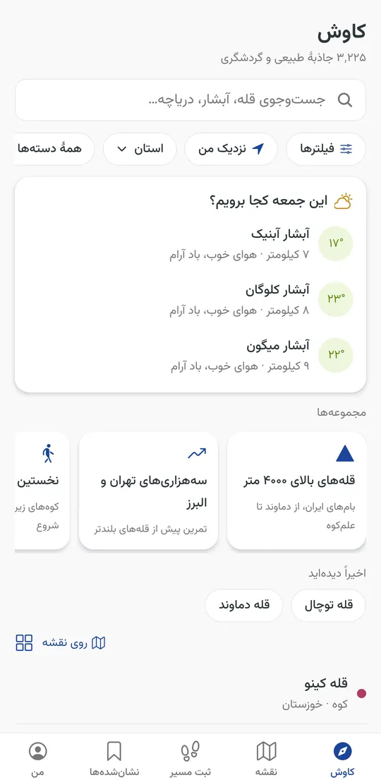
Where to go this weekend
Suggestions near you picked by Friday's forecast, and collections such as the 4000 m peaks or the waterfalls around Tehran.
-
Springs, shelters and campsites
Thousands of springs, huts, campsites and trailhead car parks from OpenStreetMap, available offline.
-
Plan along the trails
Tap the way and the route follows real paths, with distance, climb and walking time.
-
A community of climbers
Follow other climbers, summit logbooks, seasonal challenges, a club league and rankings by peaks - never by speed.
A look inside
-
Where to go this Friday, by the forecast
-
Trails climbers shared, by activity
-
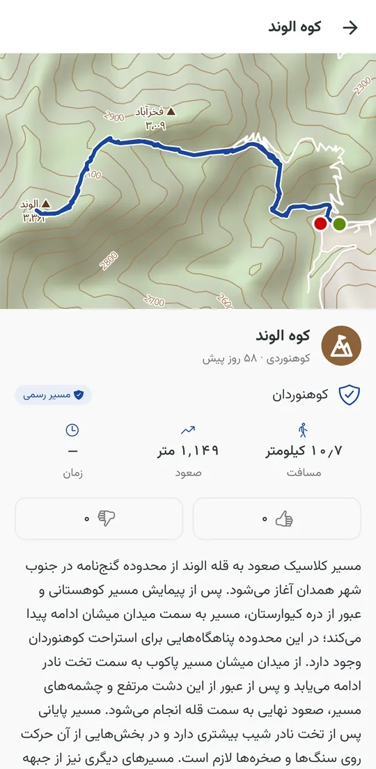
Each trail with its map, numbers and comments
-
Everything for your safety on one page
-
Springs, shelters and campsites on the map
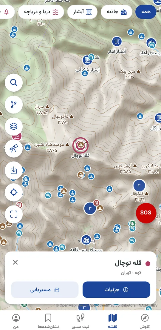
-
Satellite imagery with contours and trails
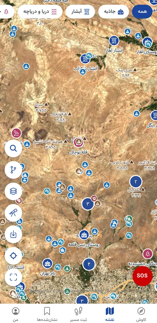
-
Offline first aid in the mountains
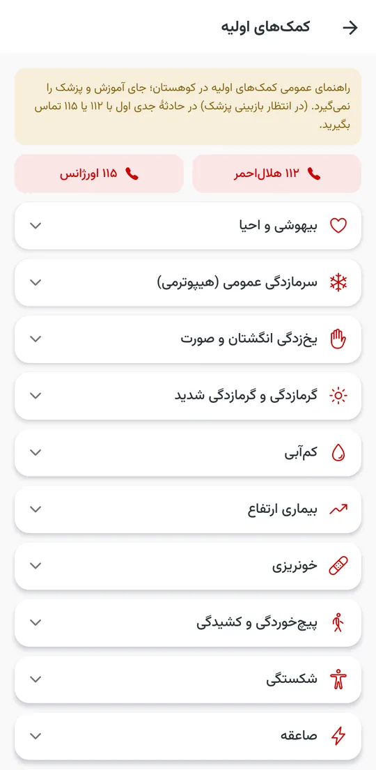
-
Seasonal challenges and badges
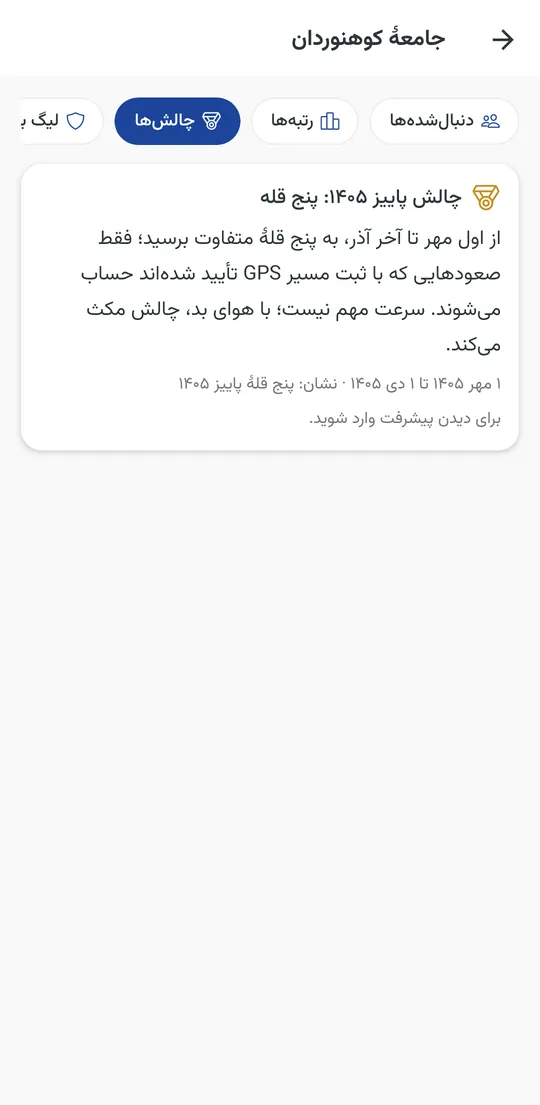
Installing from the file
- Download the file on your phone.
- Open it; if Android asks, allow installing apps from this source.
- Open Climbers and download your province map for use without internet.
The app tells you itself when a new version is out.
Questions
Is it free?
Yes. Safety and offline features will always be free.
Does it work without internet?
Yes: downloaded maps, recording, the compass, SOS by text message and first aid all work with no signal.
Can I share a trail I recorded with another app?
Yes: publish its GPX file from the app, with its activity and difficulty, and it gets its own page on the website too.
What about my privacy?
Your climbs stay on your phone unless you sign in to back them up; everything is private until you make it public, and you can stay out of every ranking.
Does it drain the battery?
Recording uses GPS like any tracking app; low-power mode takes a point every 10 seconds and roughly halves the drain.