
 Valley
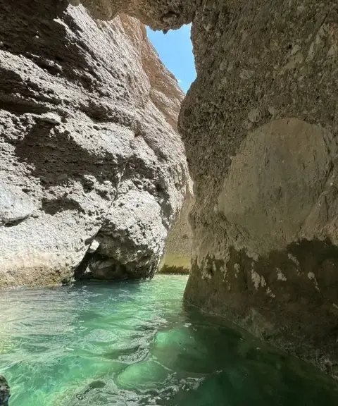

Tang-e Kalshakh
Province Lorestan
- Swimming
- Walking
- Canyoning
A forested, rocky passage on the route to Lake Gahar
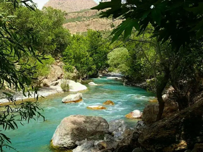
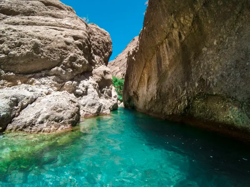
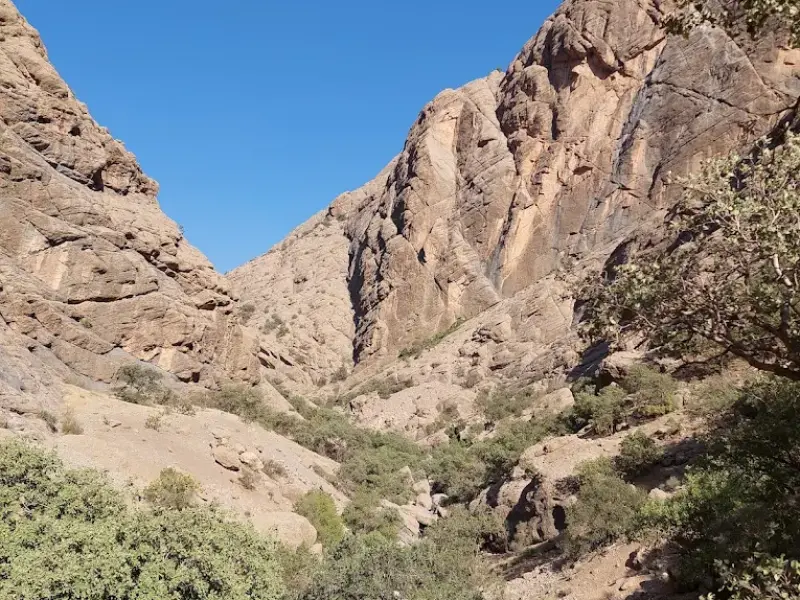
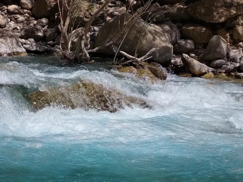
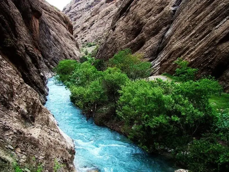
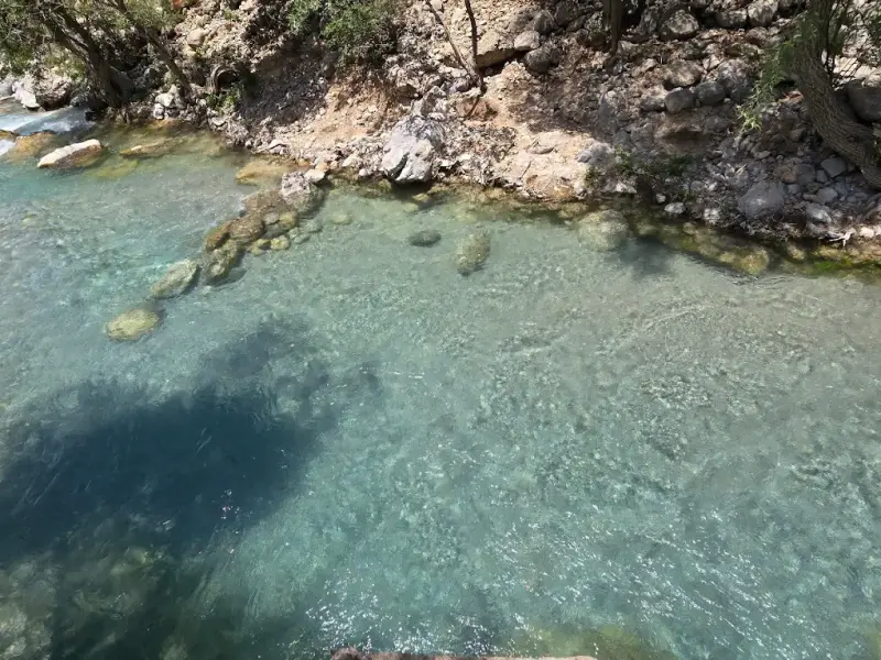
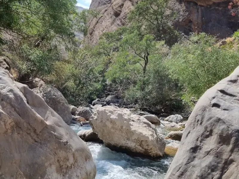
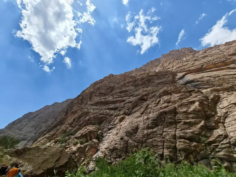
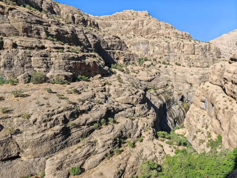
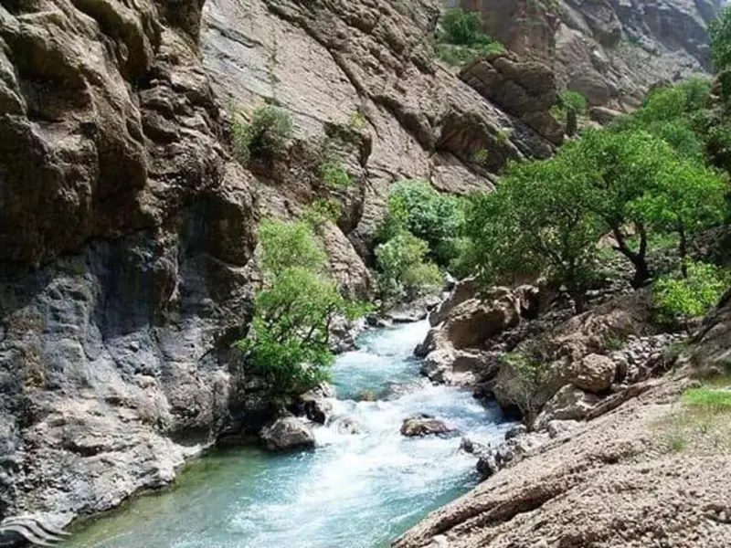
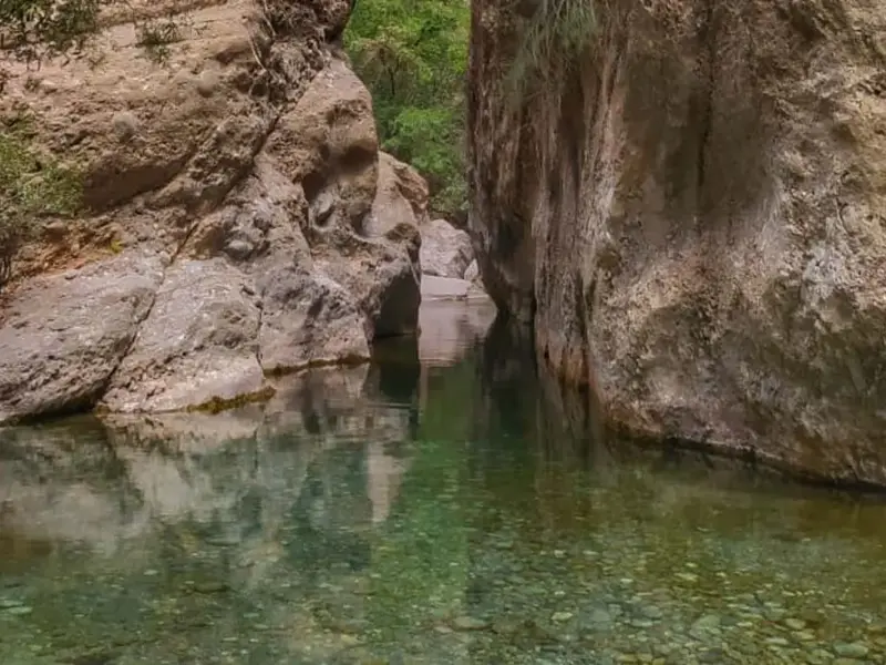
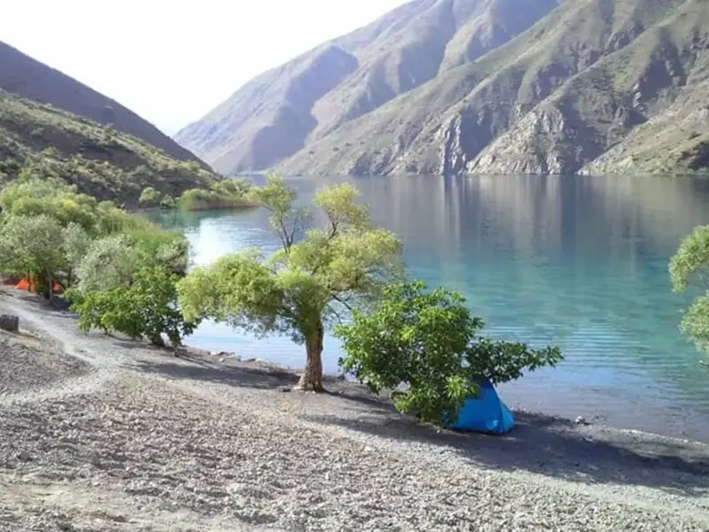
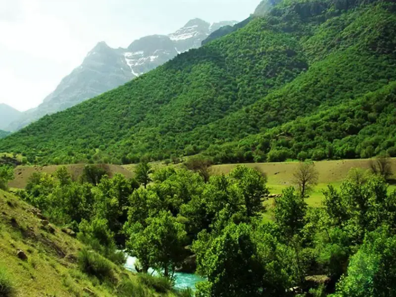
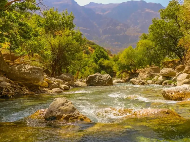
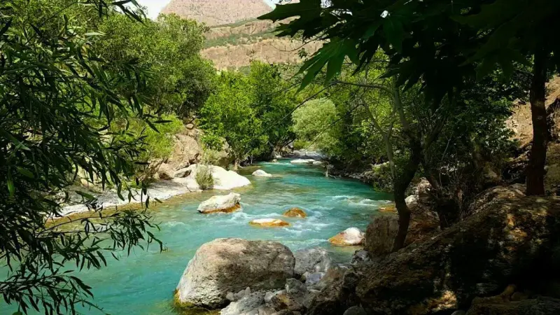
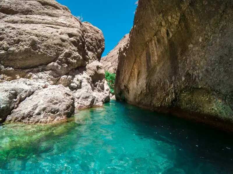
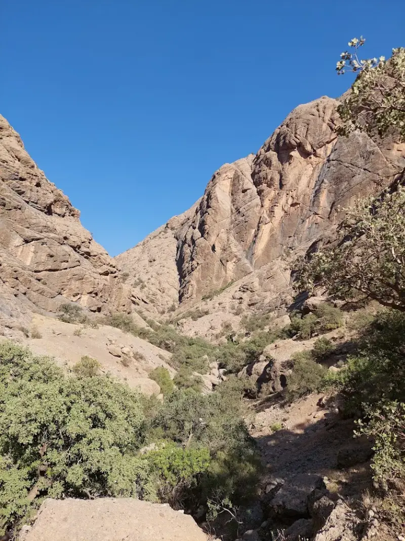
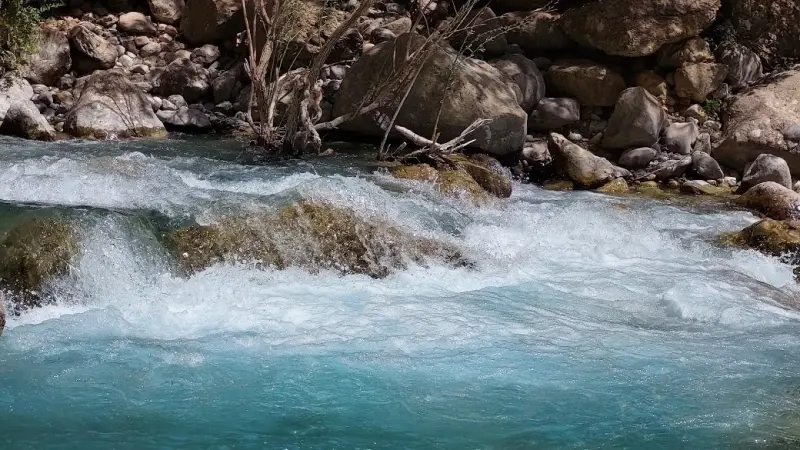
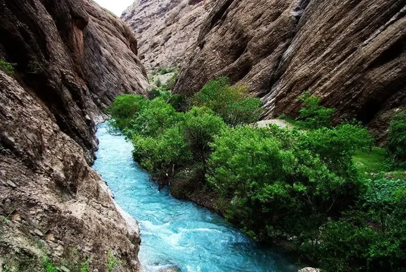
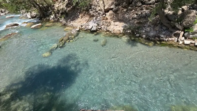
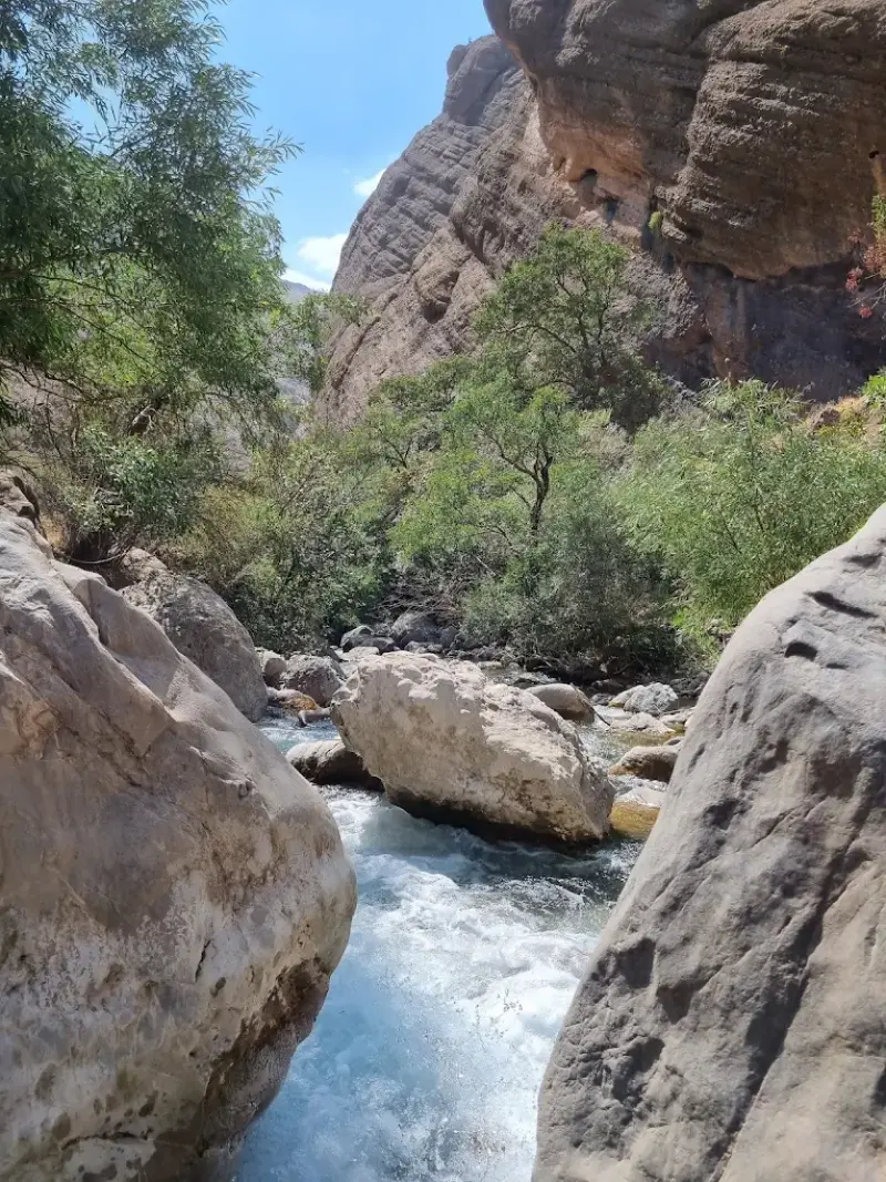
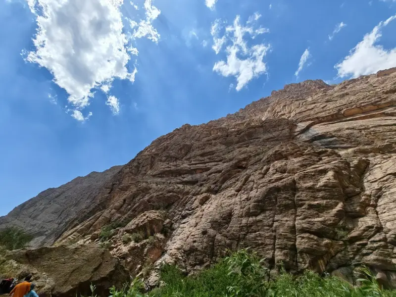
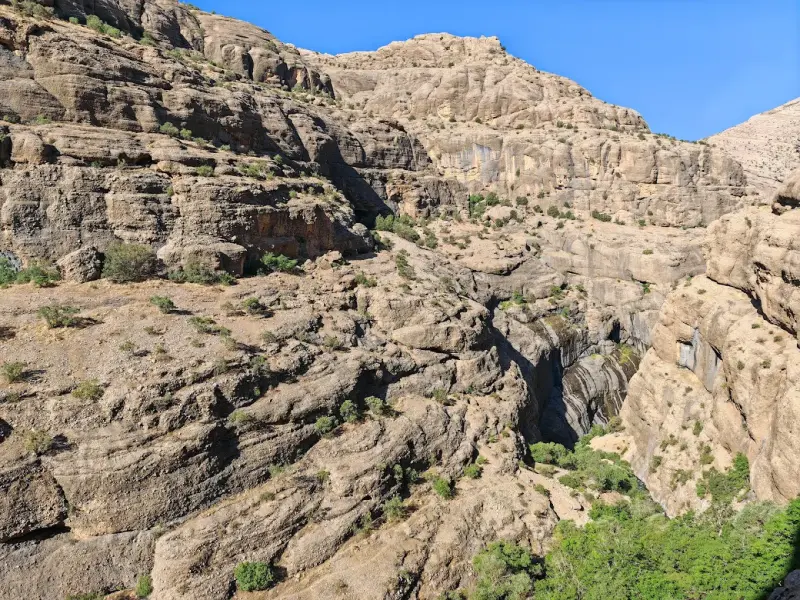
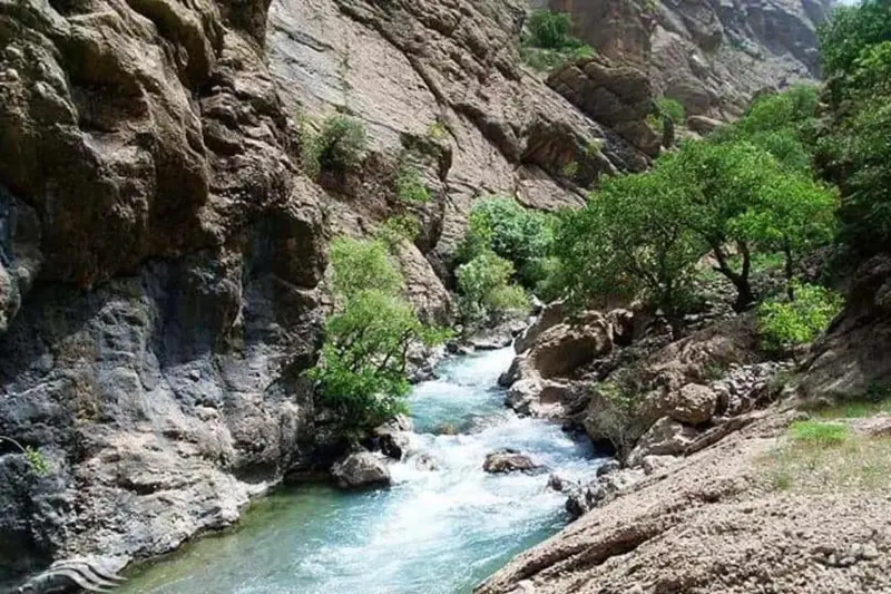
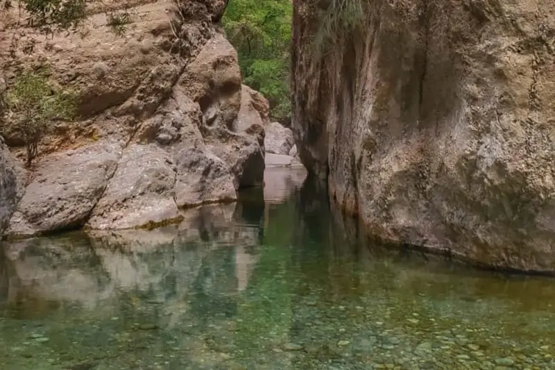
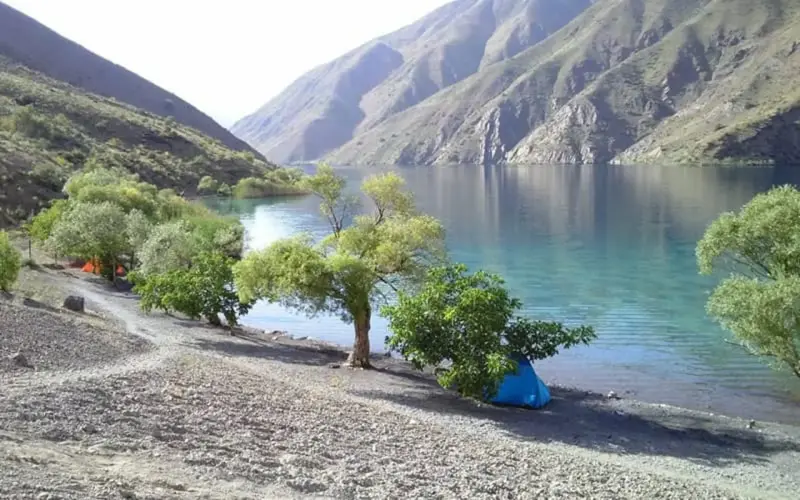
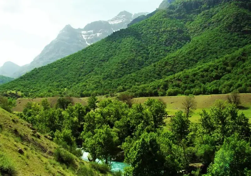
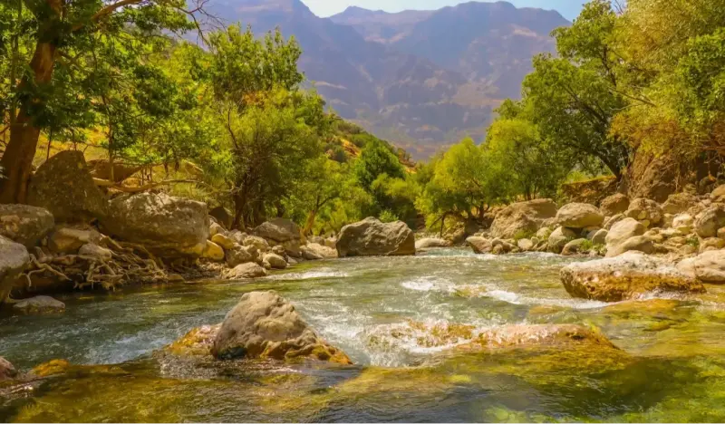
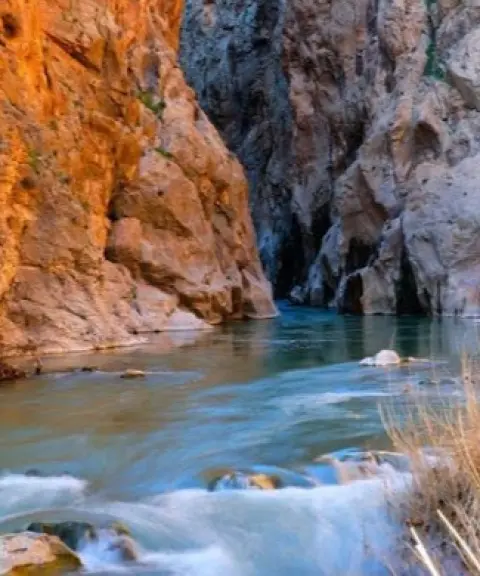
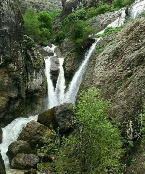
Neygah Valley, also known as Negar, lies in Dorud County, Lorestan Province, in the heart of the Oshtorankuh Protected Area. This beautiful mountain valley is a short distance from Lake Gahar, and the rushing Sefidab River runs through it. It is roughly 12 kilometres long and about 500 metres wide, and it continues on to the village of Ti. Tall cliffs and rocky gorges, together with terebinth (Bane) and oak trees and other Zagros vegetation, line the route with greenery, while caves and small waterfalls add to its beauty. Its pristine nature and unique canyoning opportunities make it a destination for experienced nature travellers and mountaineers. The rushing waters of the Sefidab River join from several channels, making the trek even more enjoyable.
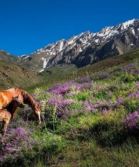
The valley's vegetation is rich and varied. Along the river, wild fruit and nut trees such as walnut, fig, almond, apple and mulberry grow here and there, adding to the scenery and sometimes providing cool shade where climbers can rest. This combination of plant life and diverse wildlife, including species of birds, small mammals and mountain reptiles, is why the valley is protected as part of the Oshtorankuh Protected Area under the supervision of the Department of Environment.
The valley can be reached by several routes: from Lake Gahar, from the village of Ti, or from the Imamzadeh Pir Abdollah shrine. The route can only be covered on foot and requires suitable equipment, such as hiking boots and spare clothing. The best time to visit is spring and summer, when the cool air and the full flow of the river make for a pleasant experience. We recommend following the principles of responsible nature travel: do not leave litter behind, stay on a clearly defined route, and put your own safety first.
Written by ستایش عرب Last updated
What you can do here, and what it takes
از کفش مناسب پیادهروی استفاده کنید.
این مکان مناسب برای درهنوردی حرفهای است.
Province Lorestan
Province Lorestan
Province Lorestan


Unfortunately, no comments have been registered.