
 Mountain
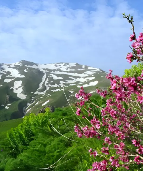
Chehel Cheshmeh Mountain
Province Kurdistan
- Walking
- Mountaineering
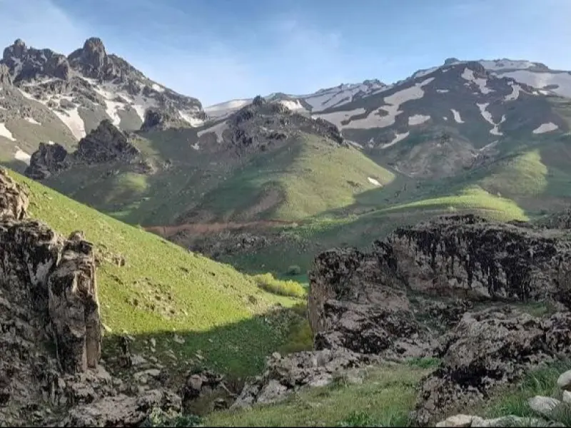
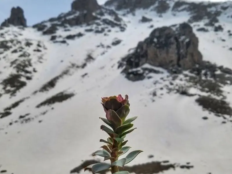
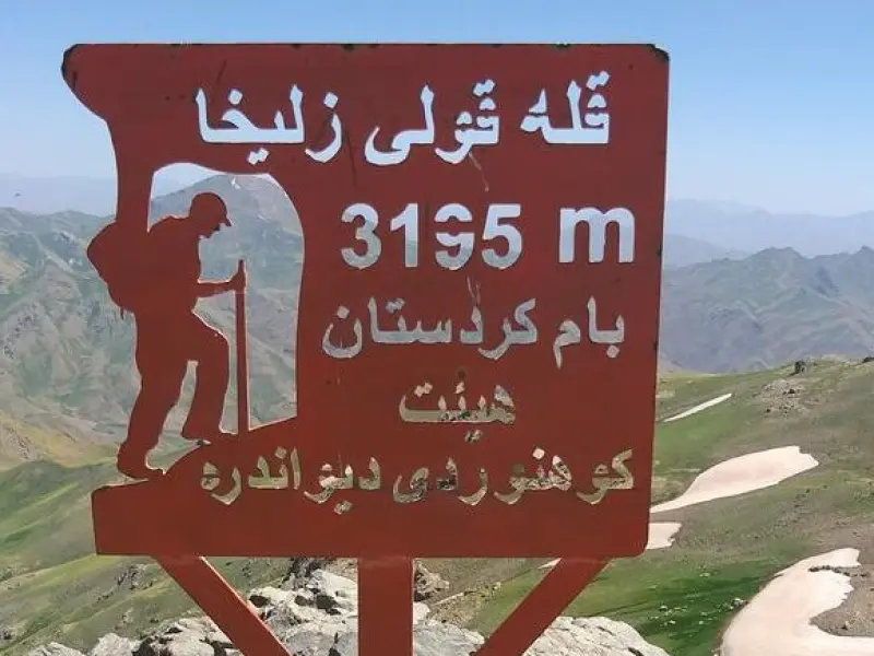
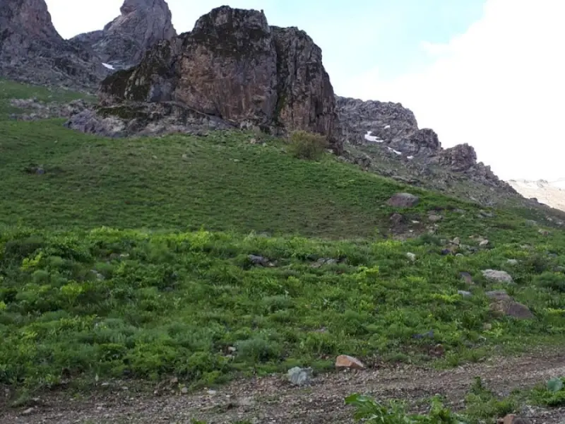
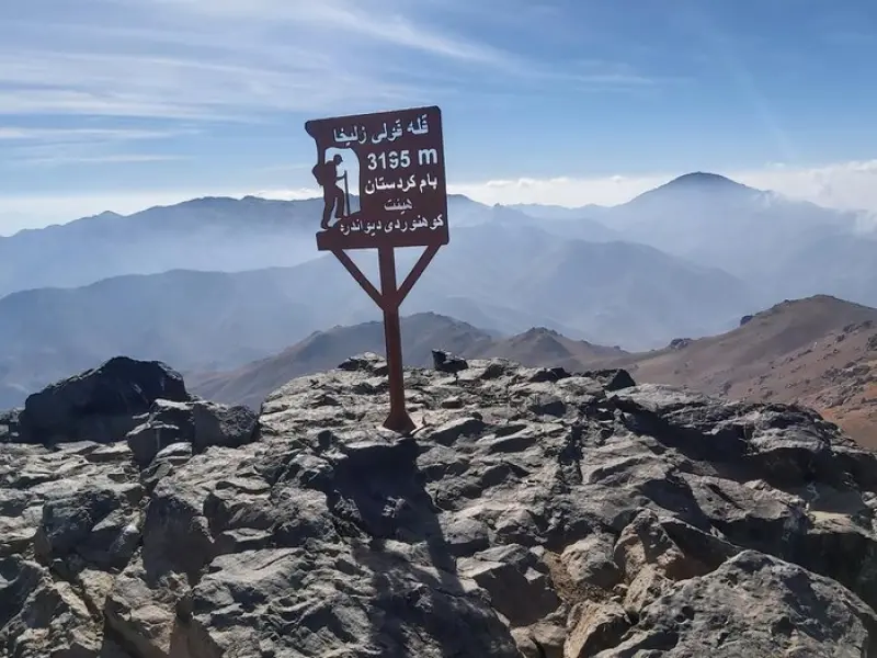
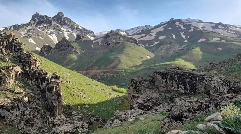
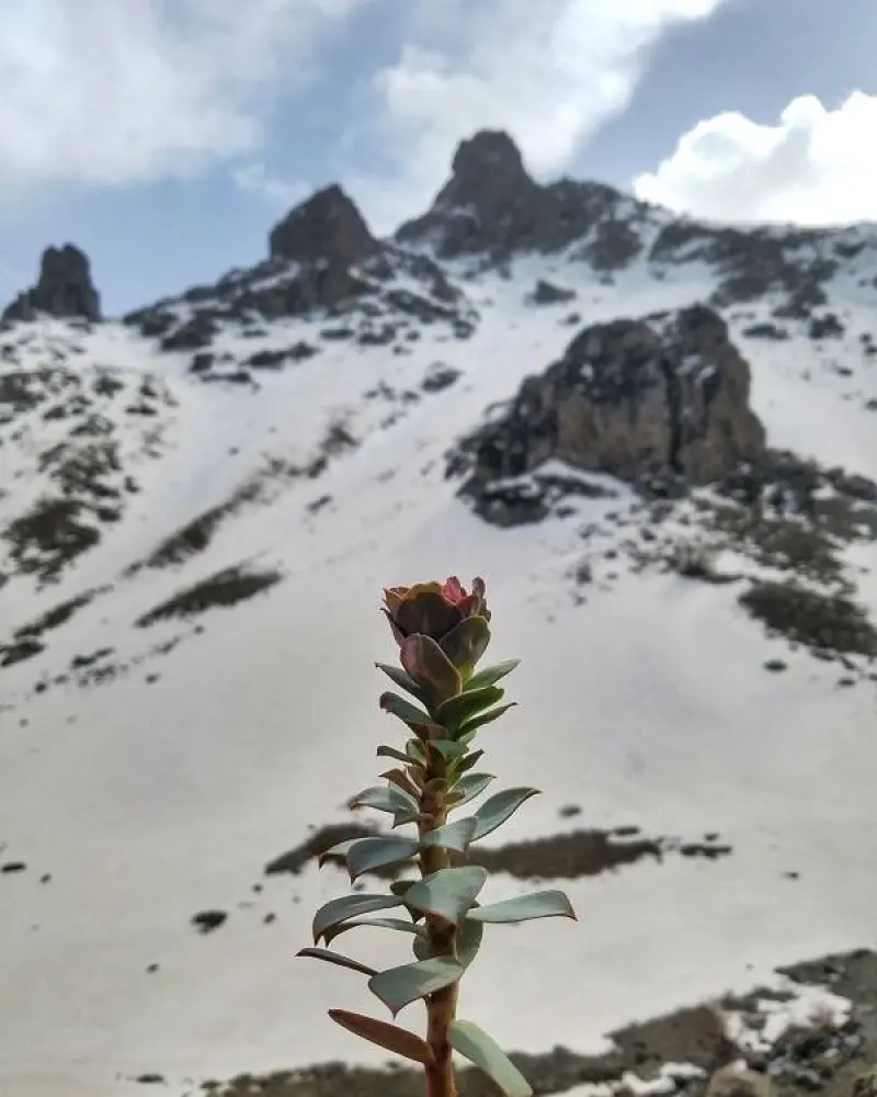
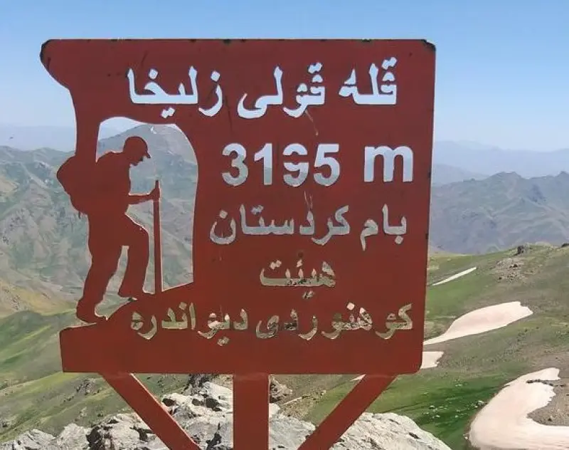
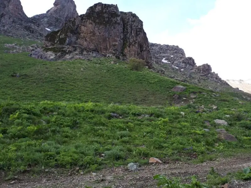
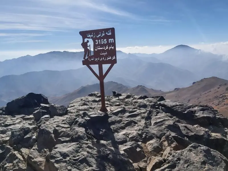
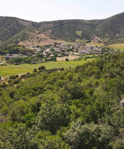
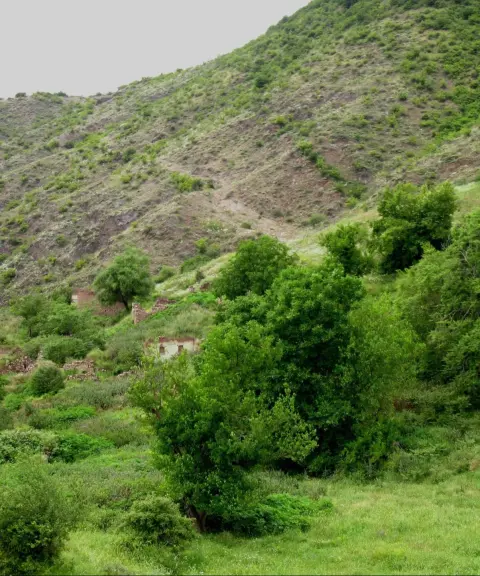
Zalikha Peak (also known as Quli Zalikha), at an elevation of 3,195 meters, is the highest peak in Kurdistan Province and one of the tallest summits of the Zagros Mountains in northwestern Iran. The peak lies in the Chehel Cheshmeh area and forms a natural border between Divandarreh and Saqqez counties. It overlooks the village of Bast to the north, the Marivan–Saqqez road and Zarivar Lake to the west, and Divandarreh County to the east. Its distinctive geographic position offers spectacular views and a variety of routes for nature lovers and mountaineers.
Climbing Zalikha Peak is of moderate difficulty and suits climbers with some experience. The route includes gentle slopes as well as relatively difficult sections that call for good physical fitness and mountaineering skills. Zalikha Peak is a popular destination for climbers looking for a balanced challenge in the heart of nature. The surrounding views, including lush pastures and wide, open landscapes, make the climb a memorable experience for nature lovers.
To climb this peak you need suitable equipment such as windproof and waterproof clothing, mountaineering boots, a sleeping bag, a tent, and enough water and food. Safety equipment such as rope and carabiners is also recommended if needed. The best time to climb Zalikha Peak is spring and summer, when the weather is more favorable and the nature around the peak is at its most beautiful.
Written by زهرا لنگری Last updated
What you can do here, and what it takes
کفش پیادهروی به همراه داشته باشید.
تجهیزات کوهنوردی به همراه داشته باشید.
Province Kurdistan
Province Kurdistan


Unfortunately, no comments have been registered.