
 Waterfalls
- Ability level Intermediate
Ability level:
Intermediate
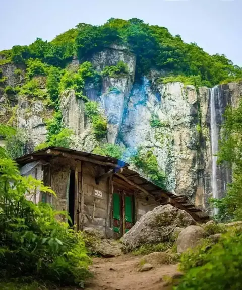
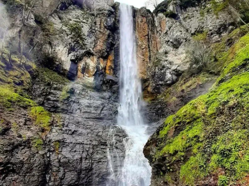
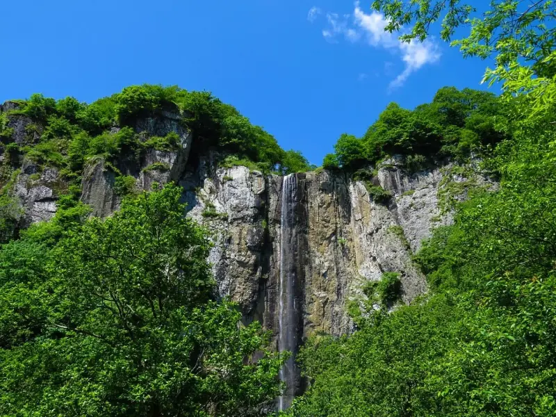
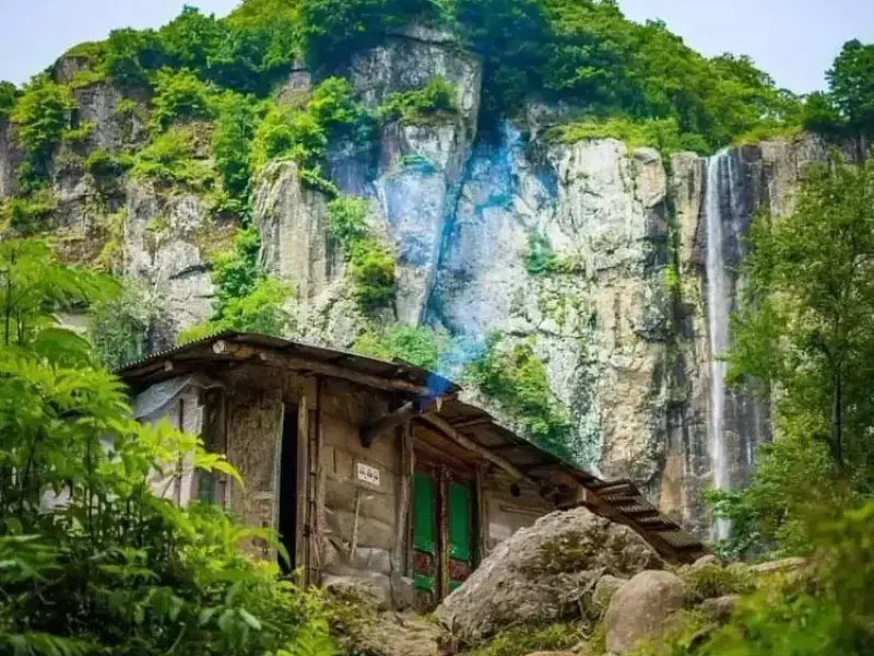
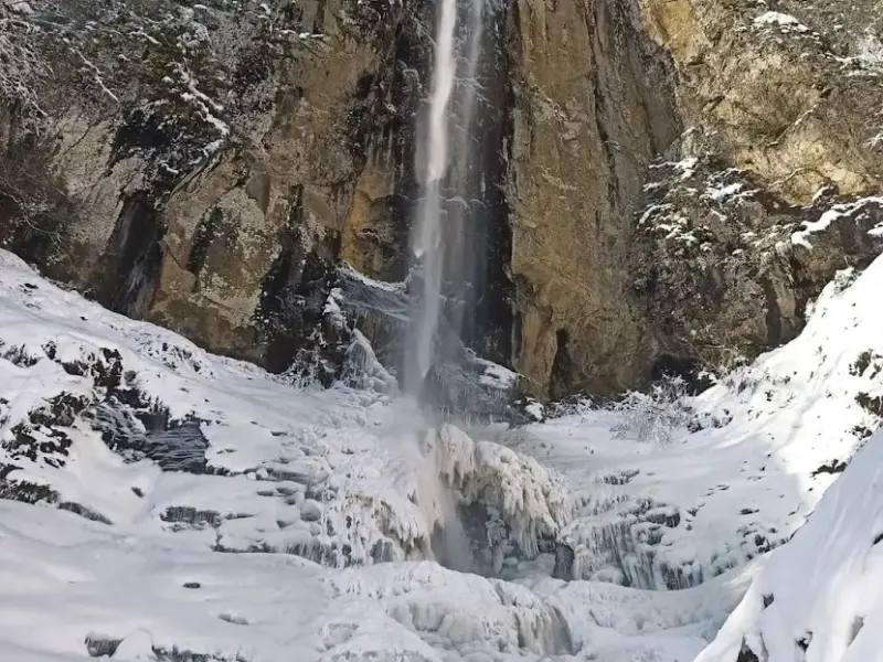
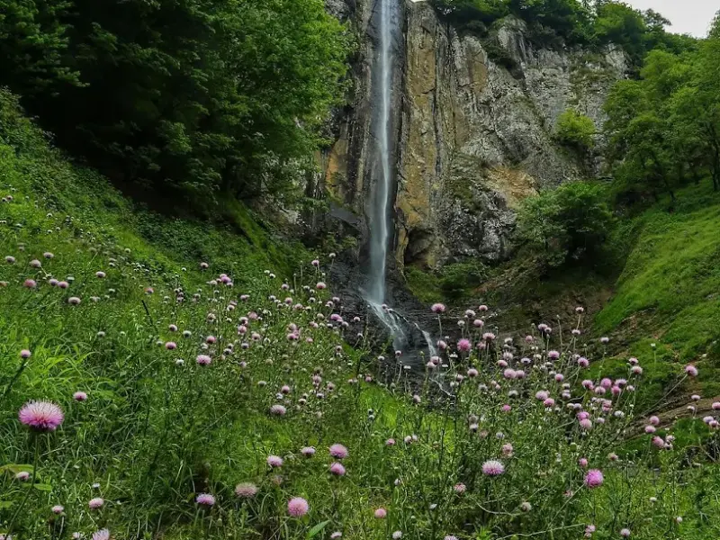
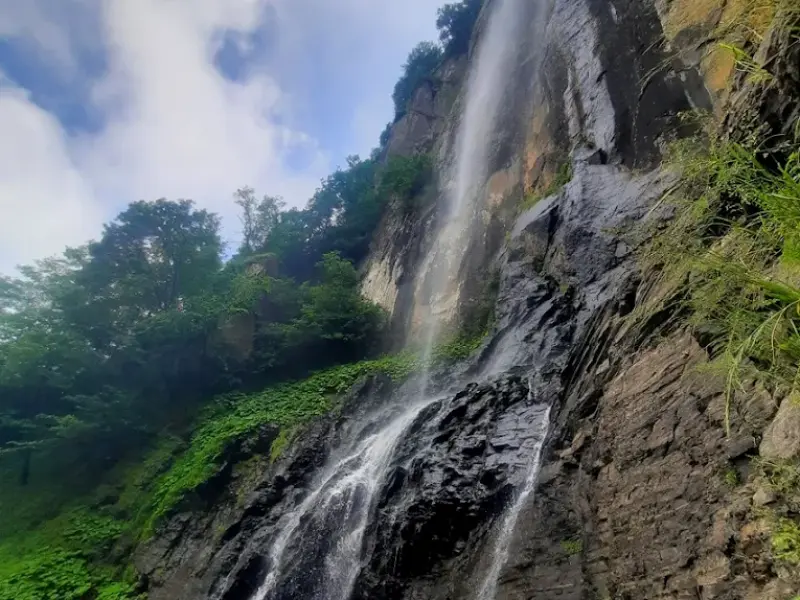
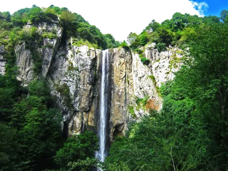
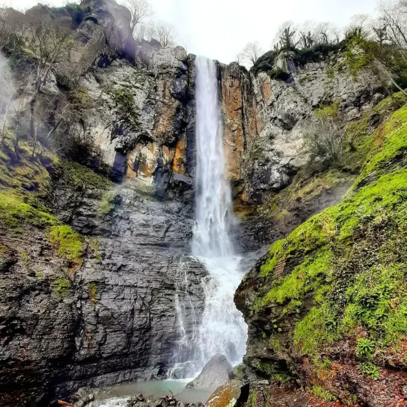
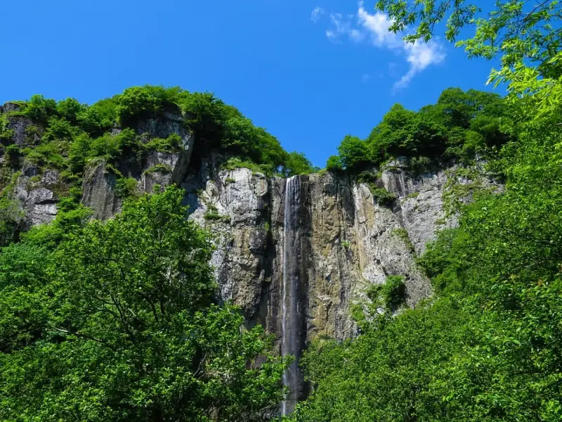
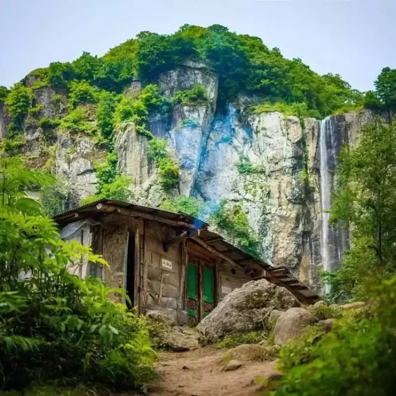
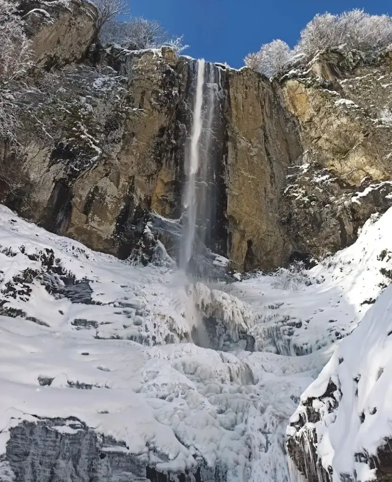
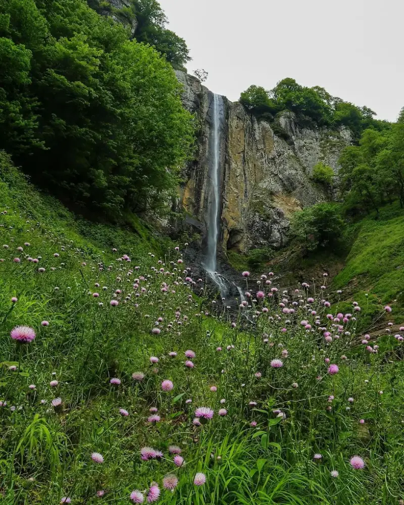
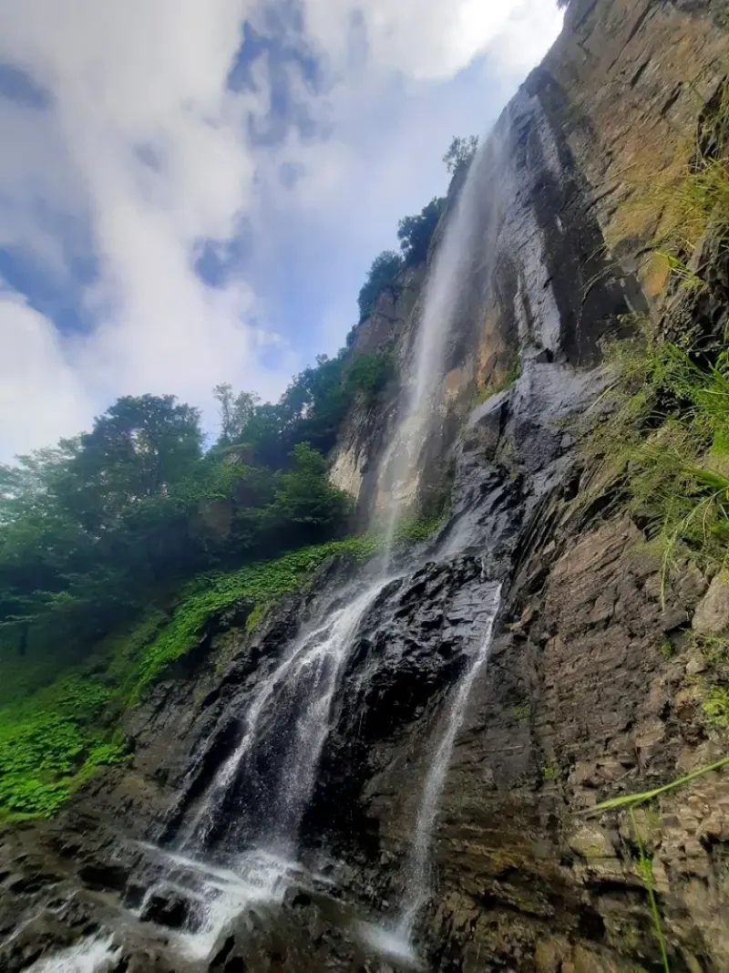
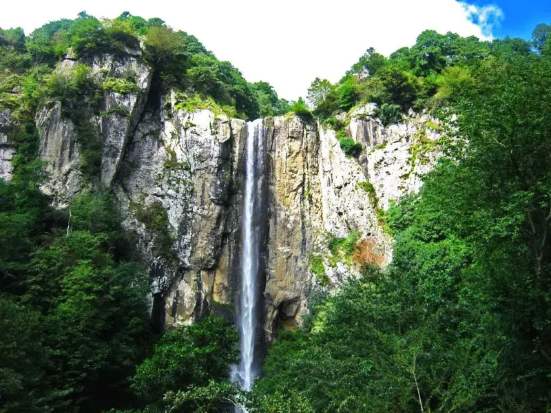
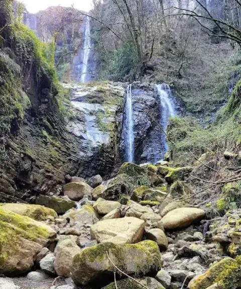
Laton Waterfall is located in Gilan Province, 15 km south of Astara County, in the village of Kuta Kumeh in the city of Lavandevil. At roughly 105 metres, Laton is considered the highest waterfall in Iran.
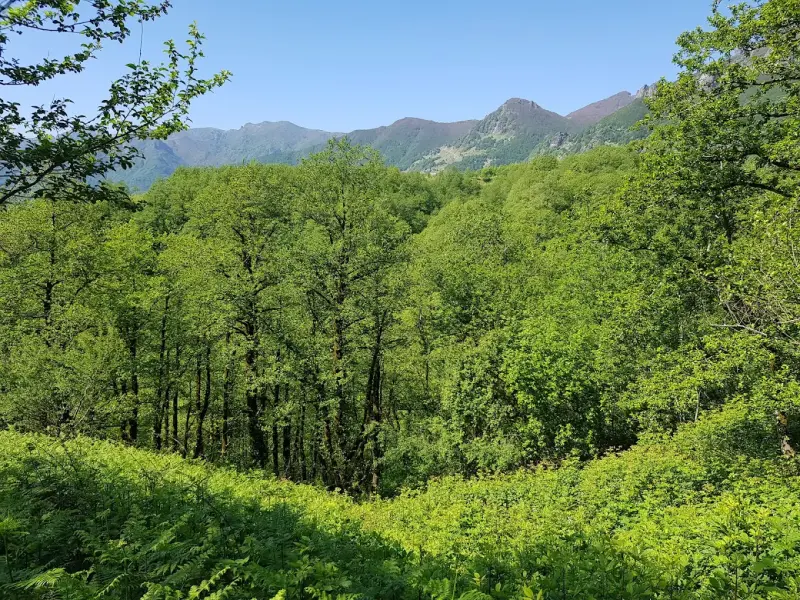
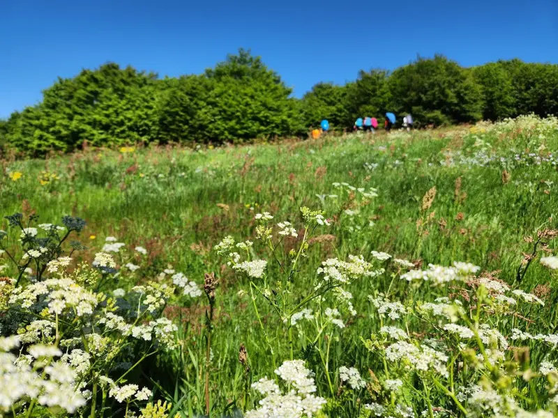
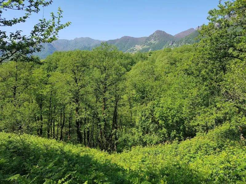
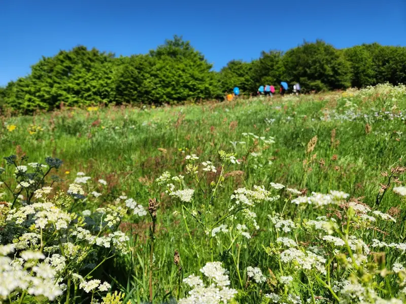
The wildlife around the waterfall includes wolves, wild boar, bears (rare), porcupines, horses, cows and more. Along the edge of the waterfall lies one of the most beautiful dense, pristine and untouched forests in Gilan, full of plum, quince, pear, walnut, hazelnut and wild apple trees, which stays green and lovely for 9 months of the year. The climate at Laton is like that of the rest of northern Iran and Gilan: winters are cold, and the second half of spring and the summer are humid. So if you decide to visit Laton Waterfall, plan your trip for another time of year.
To reach Laton Waterfall, first go to the city of Lavandevil, then continue from there to the village of Kuta Kumeh. From this village to the waterfall there is a dirt track of about 14 km, which you can cover on foot or by a suitable vehicle.
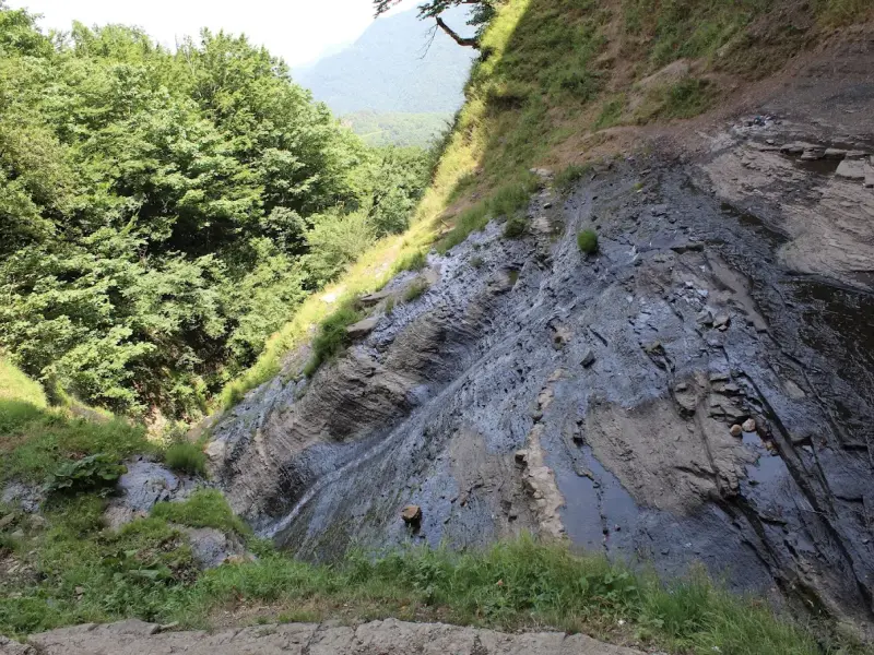
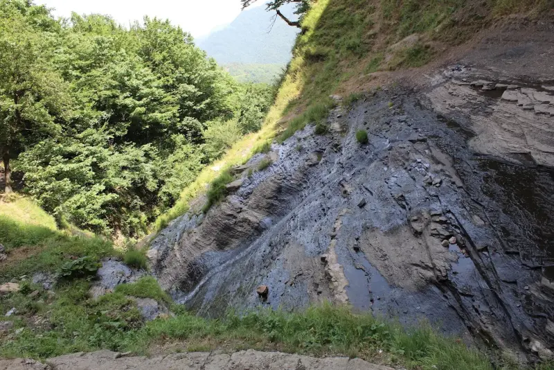
The route to the waterfall runs through very beautiful forested hills, with many springs of cool, drinkable water along the way. The end of the route has dangerous, deadly drop-offs. The waterfall is visible from a distance of 600 metres. The route to Laton is suitable for hiking, but because of the strong current and the great height, swimming at Laton is not recommended.
Written by ستایش عرب Last updated
Activities
What you can do here, and what it takes
-
Walking
مسیر پیادهروی به آبشار حدود 3 ساعت زمان میبرد؛ این مسیر برای افرادی با سطح آمادگی جسمانی متوسط به بالا مناسب است.
Specifications
Introduction of the location and specifications of Laton Waterfall
Location:
Gilan, لوندویل, Kuta Kumeh Village
Coordinates:
38.32078423, 48.73230458
Open in maps
Height above mean sea:
778 meter
Land Form:
Mountainous,
Floras:
Temperate Grasslands
Faunas:
Presence of Predatory Animals, Presence of Herbivorous Animals, Presence of Allergenic Insects
Transports:
Private car, Walking
Native Languages:
Gilak
Related Tourist Attractions
Attractions that are in the Waterfalls category

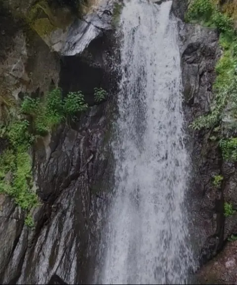


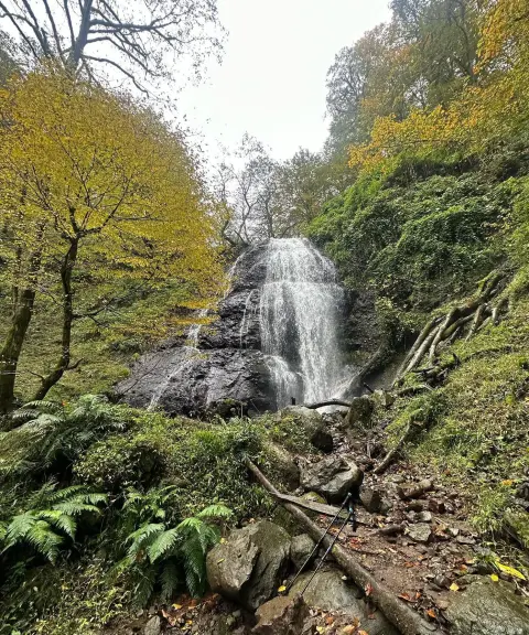
Motalan Waterfall
Province Gilan
- Walking
A waterfall with a pleasant climate in the heart of the Paradise Valleys
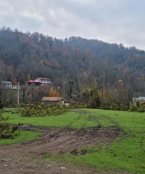
Khaneh Asiab Village
Province Gilan
- Walking
A Peaceful Natural Retreat on the Edge of Astara's Hyrcanian Forests
Related tags:
Unfortunately, no comments have been registered.