
 Waterfalls
- Ability level Intermediate
Ability level:
Intermediate
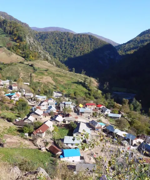
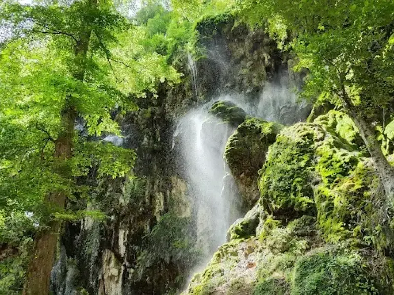
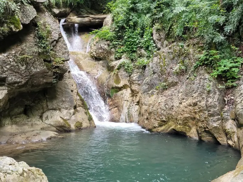
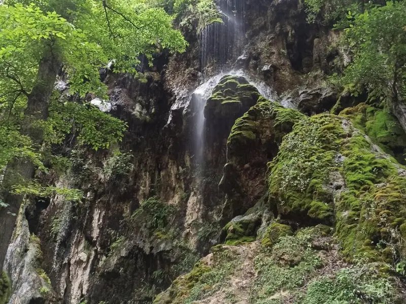
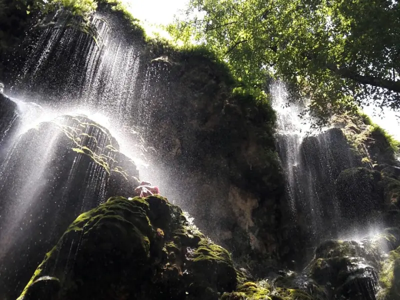
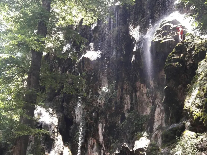
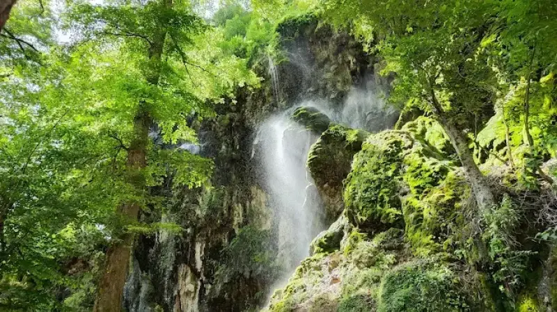
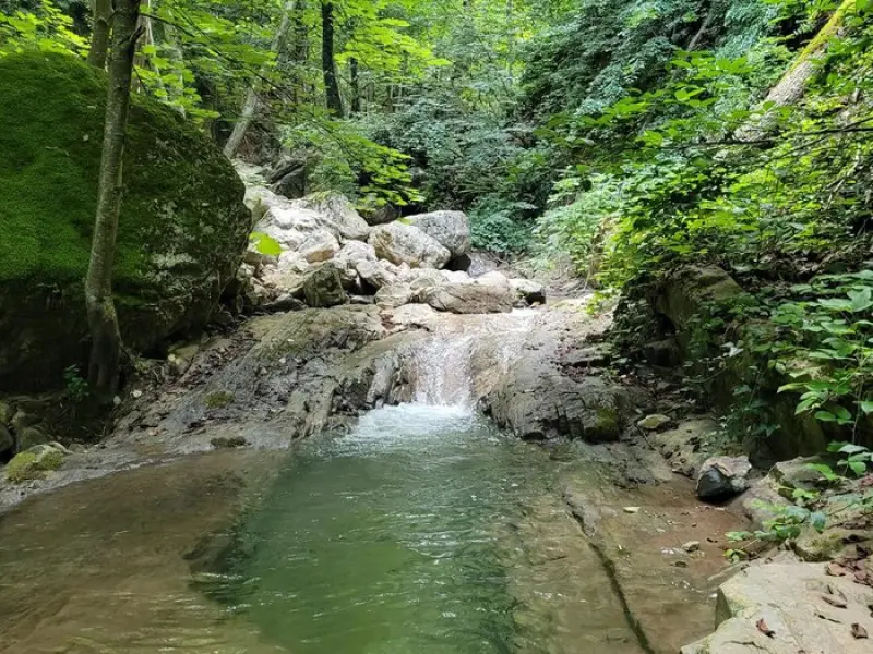
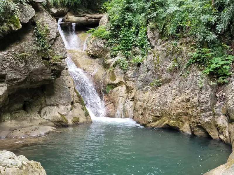
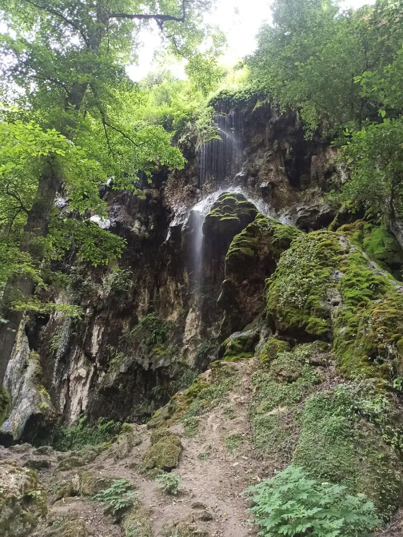
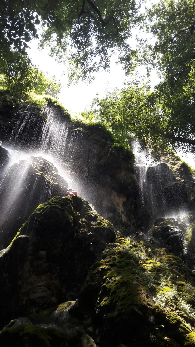
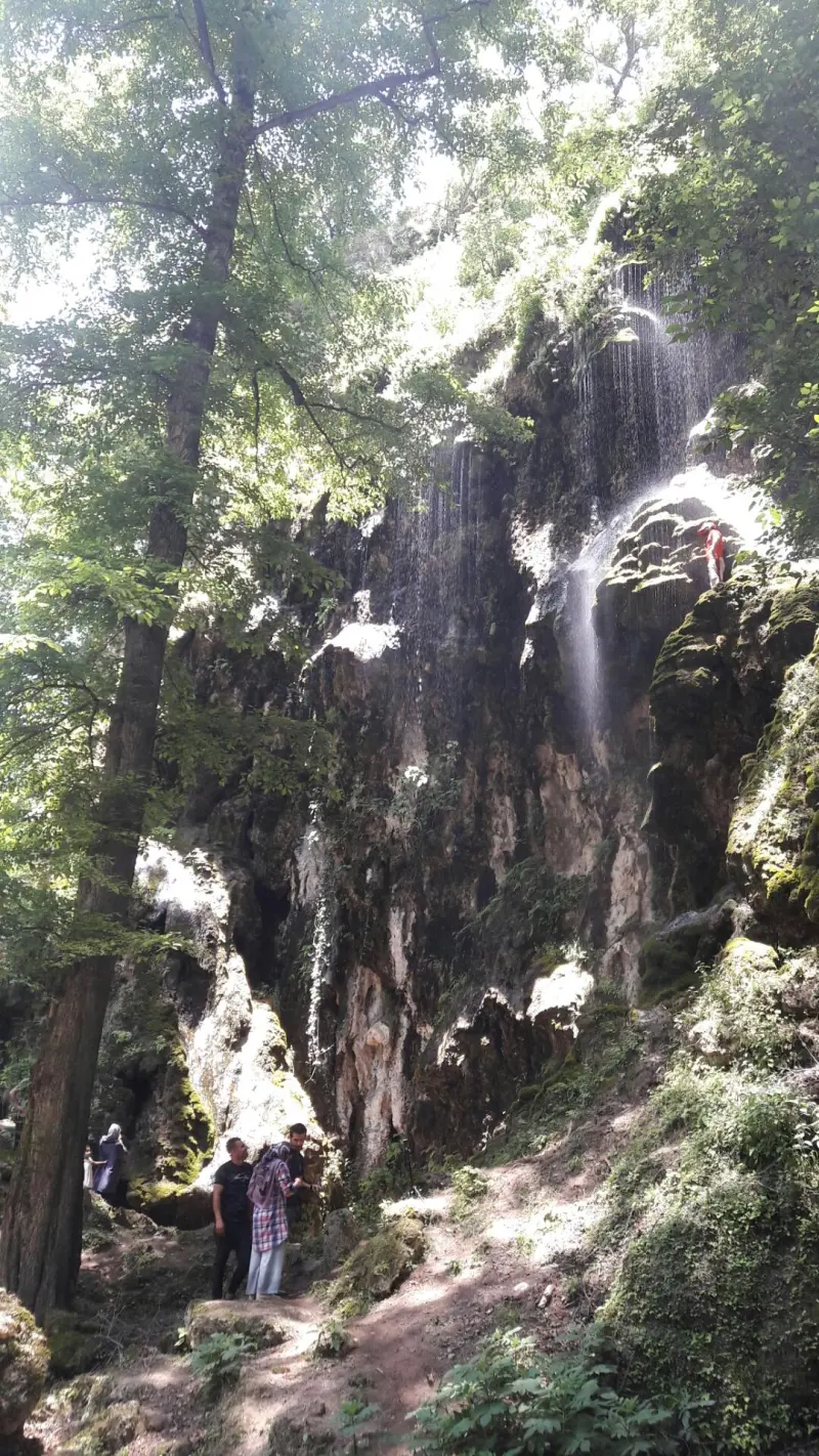
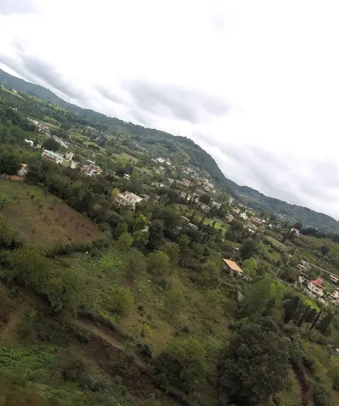
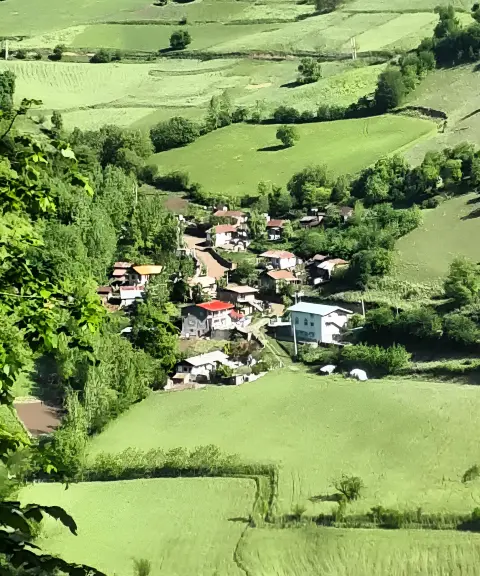
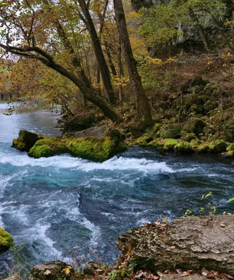
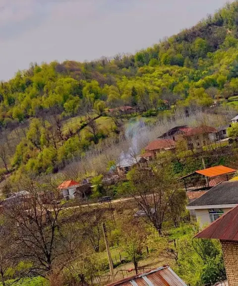
Ujarjari Waterfall is located in Babakola village, in Chahardangeh District of Sari County (Mazandaran Province). This seasonal forest waterfall sits at an elevation of about 720–800 meters above sea level. Its flow is gentle in summer and stronger in spring, offering visitors a dreamlike, deeply peaceful natural setting.
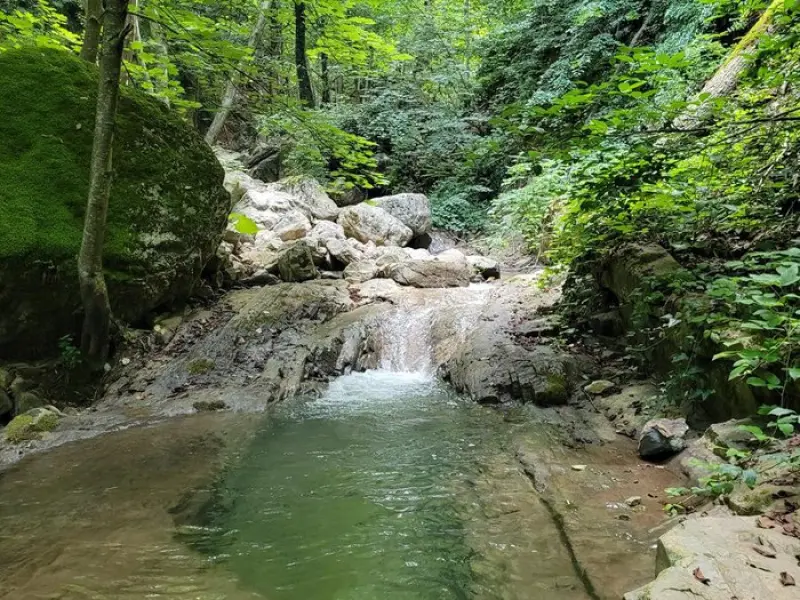
To reach Ujarjari Waterfall, first head into Babakola village, then follow a forest trail of about 2 to 4 kilometers (30 minutes to 1 hour on foot). This scenic route passes through dense forest and alongside a river, and finally brings you to a small, clear pool at the foot of the waterfall. Walking this forest trail and listening to the sounds of water and birdsong makes for a pleasant, calming memory in the heart of nature.
The best time to visit Ujarjari Waterfall is from early spring to summer, when the waterfall is at its most powerful and the surrounding nature is at its greenest. In rainy seasons the trail can be slippery and crossing the river more difficult, so proper footwear and caution along the way are essential. To keep this pristine nature clean, please take your trash with you and help protect the beautiful forests of Mazandaran.
Written by ستایش عرب Last updated
Activities
What you can do here, and what it takes
-
Walking
مسیر ۳۰ تا ۶۰ دقیقهای از میان جنگل و رودخانه، گزینهای عالی برای طبیعتگردی سبک است.
-
Swimming
حوضچه پای آبشار، فضایی مناسب برای آبتنی تابستانی است.
Specifications
Introduction of the location and specifications of Ujarjari Waterfall
Location:
Mazandaran, Sari, Babakola Village
Coordinates:
36.32085773, 53.50925736
Open in maps
Height above mean sea:
793 meter
Floras:
Temperate Broadleaf and Mixed Forests
Faunas:
Presence of Predatory Animals, Presence of Allergenic Insects, Presence of Herbivorous Animals
Transports:
Private car, Walking, Minibus, Bus
Native Languages:
Tabari
Tourist Attractions in Sari
Attractions that are nearby


Chort Lake
Province Mazandaran
- Walking
- Cycling
- Fishing
- Rowing
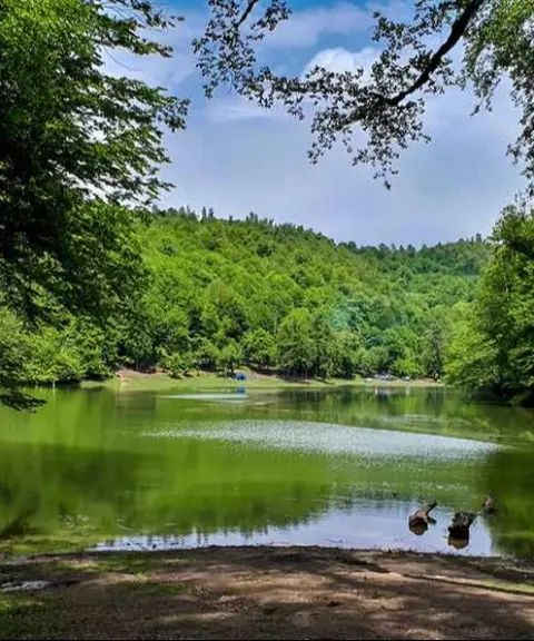
A mysterious jewel in the heart of Mazandaran's lush forests
Haft Khal Waterfall
Province Mazandaran
- Walking
- Mountaineering
- Swimming
- Fishing
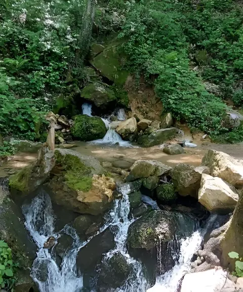
A waterfall in the heart of the Kiasar forests

Related tags:
Unfortunately, no comments have been registered.