
 Attractions
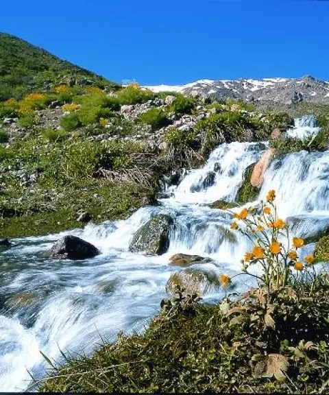

Mishi Spring
Province Kohgiluyeh and Boyer-Ahmad
- Mountaineering
- Rock Climbing
The Masuleh of Southern Iran
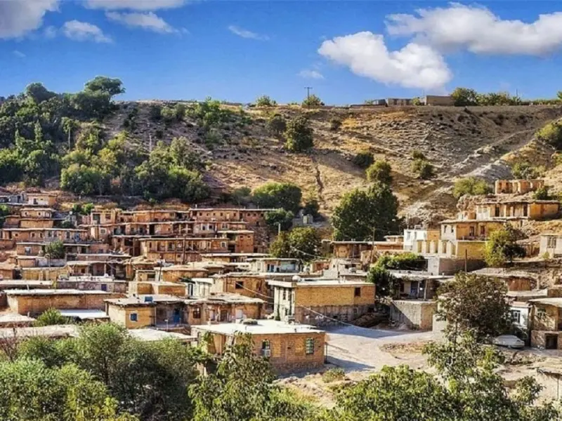
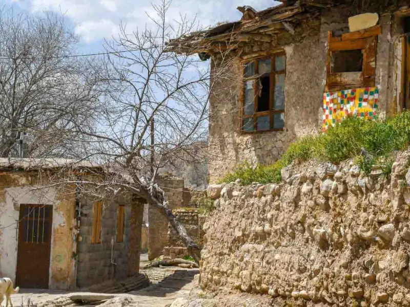
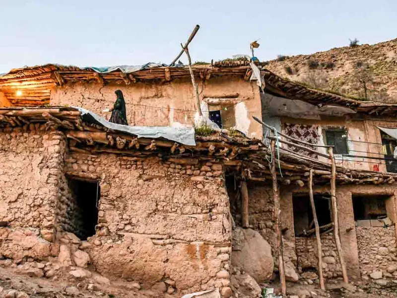
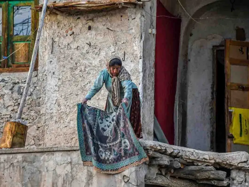
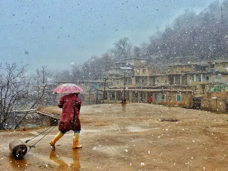
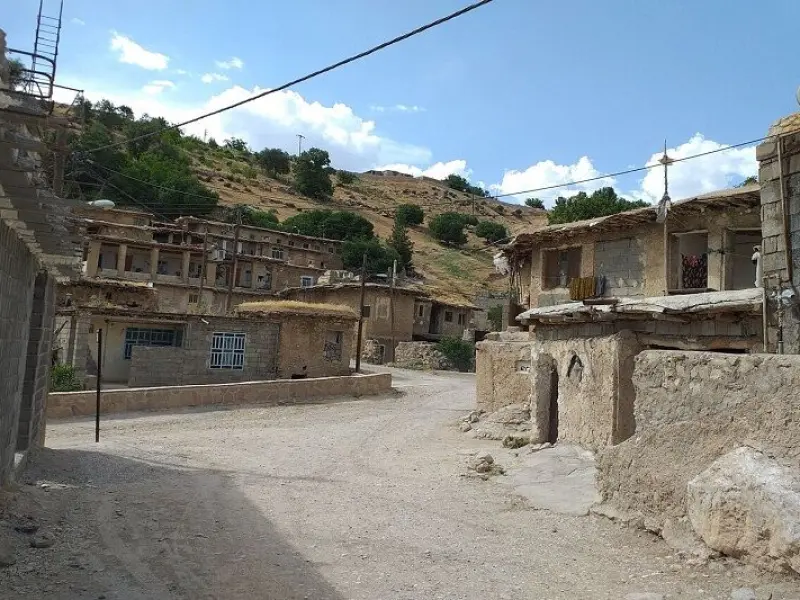
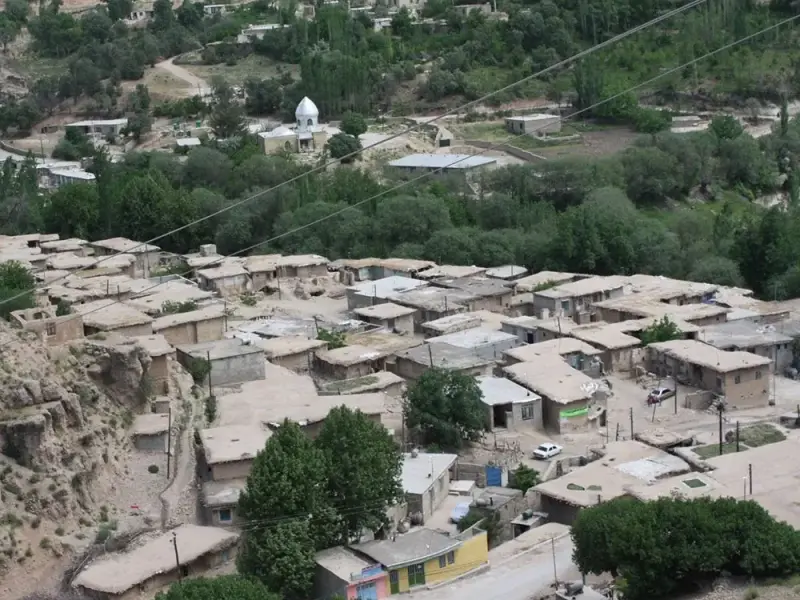
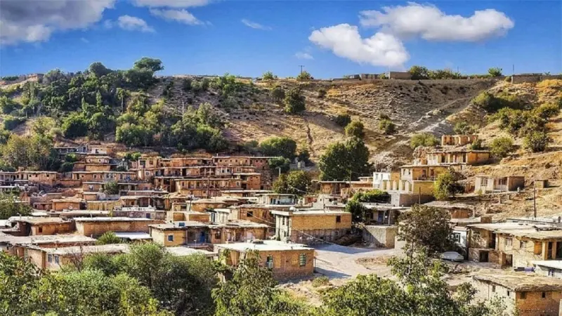
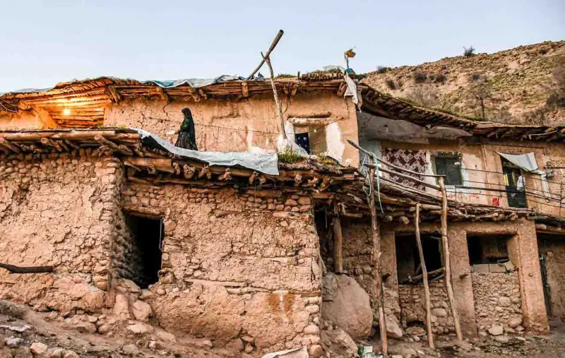
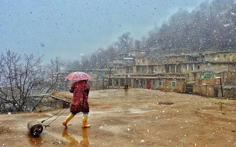
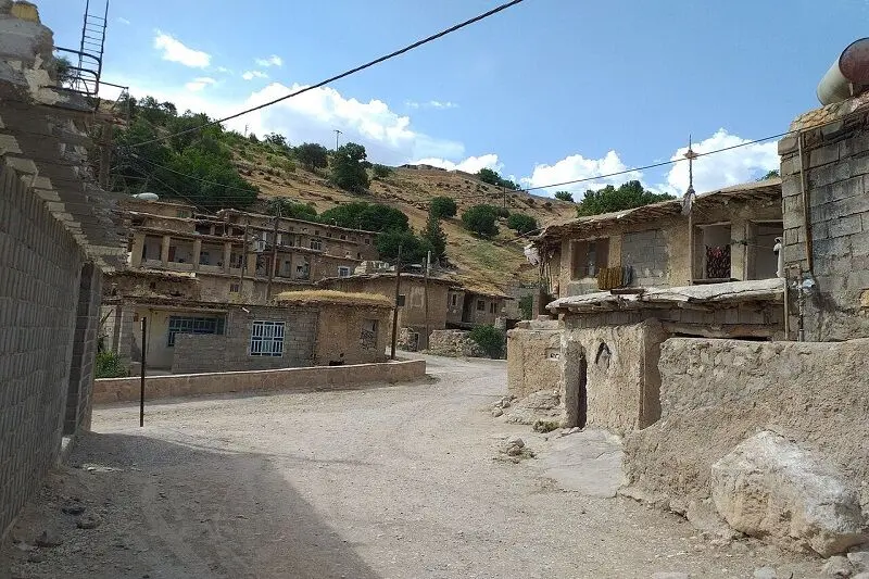
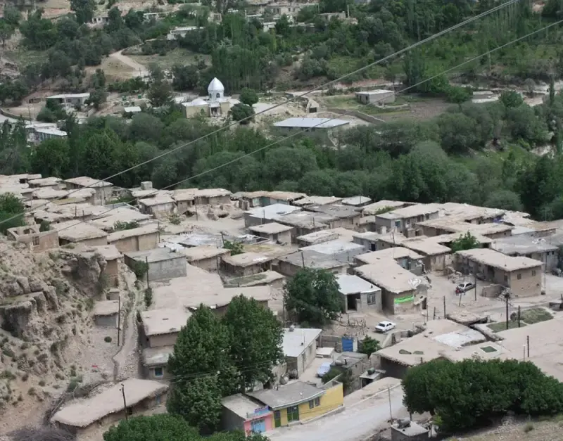
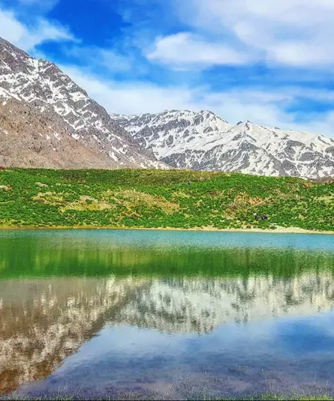
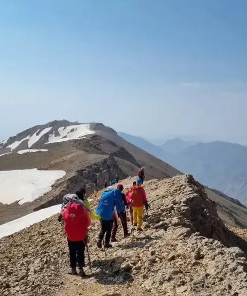
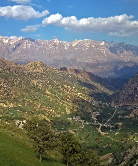
Kerik Village is one of the most beautiful tourist destinations in Kohgiluyeh and Boyer-Ahmad Province. It lies in the highlands of Dena County, about 15 km southwest of Sisakht and 25 km from Yasuj. The terraced layout of its houses and its traditional architecture have earned it the nickname "the Masuleh of southern Iran." Although it cannot compare with Masuleh in Gilan in terms of building density, its similar architectural style and mountain scenery make it one of the most distinctive places in the south of the country. Kerik lies on the climbing route to Dena Peak, and for this reason it is one of the main stops for mountaineers.
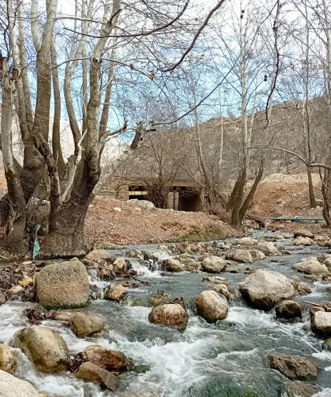
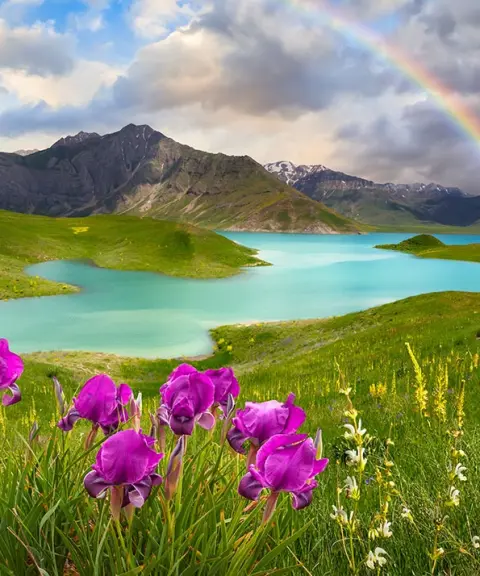
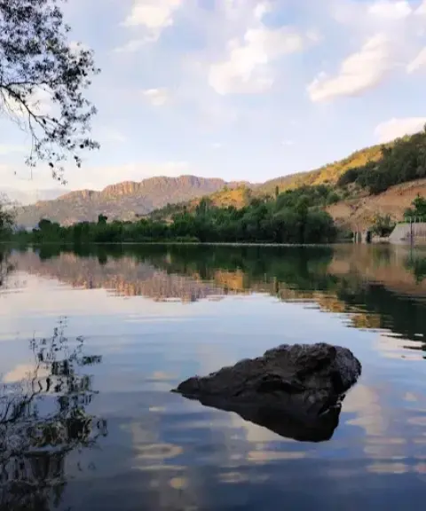
The cool, pleasant climate of the area, especially in spring, summer and early autumn, makes Kerik an ideal destination for a summer retreat and for nature tourism. A river called the Kerik River runs through the village, combining the clear sound of flowing water with lush green views. Around the village you will find apple, peach and grape orchards, paddies of the local Champa rice, poplar trees, clear springs and fish farming ponds, which create a calm and delightful setting for visitors. Thanks to its clean air and lack of pollutants, the area is also very well suited to people with breathing problems.
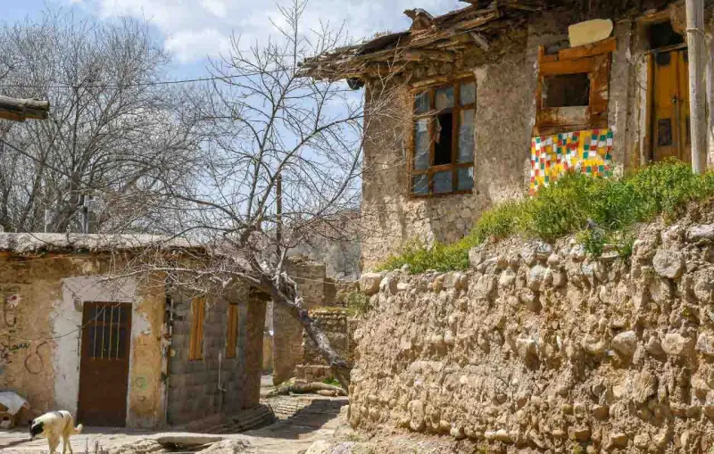
Kerik's history is another of its attractions. According to archaeological findings, the village is more than two thousand years old, dating back to a time before the Aryans had reached the Iranian Plateau. In the Achaemenid era, Kerik stood beside one of the important roads of that period. This road contributed to the region's prosperity and development, and its remains can still be seen near the village. The old houses of the village have also kept their traditional fabric, and wandering through its cobbled alleys gives visitors a taste of travelling back into the depths of ancient Iranian history.
Written by زهرا لنگری Last updated
What you can do here, and what it takes
مسیرهای کوهستانی اطراف روستا مناسب پیادهروی و گشتوگذار در طبیعت است.
این روستا به عنوان یکی از مسیرهای صعود به قله دنا شناخته میشود.
Province Kohgiluyeh and Boyer-Ahmad
Province Kohgiluyeh and Boyer-Ahmad
Province Kohgiluyeh and Boyer-Ahmad
Province Kohgiluyeh and Boyer-Ahmad
Province Kohgiluyeh and Boyer-Ahmad
Province Kohgiluyeh and Boyer-Ahmad


Unfortunately, no comments have been registered.