
 Historic Castle
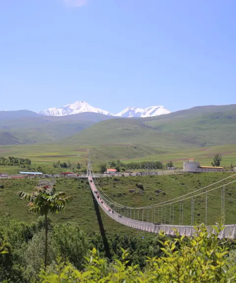
Kohneh Ghaleh
An ancient fortress at the entrance to Meshgin Shahr
- Historic Castle
- Ardabil, Meshgin Shahr
- Altitude 1,416 m
- Ability level Intermediate
Ability level:
Intermediate
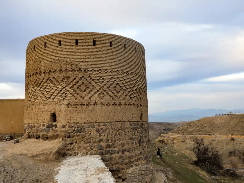
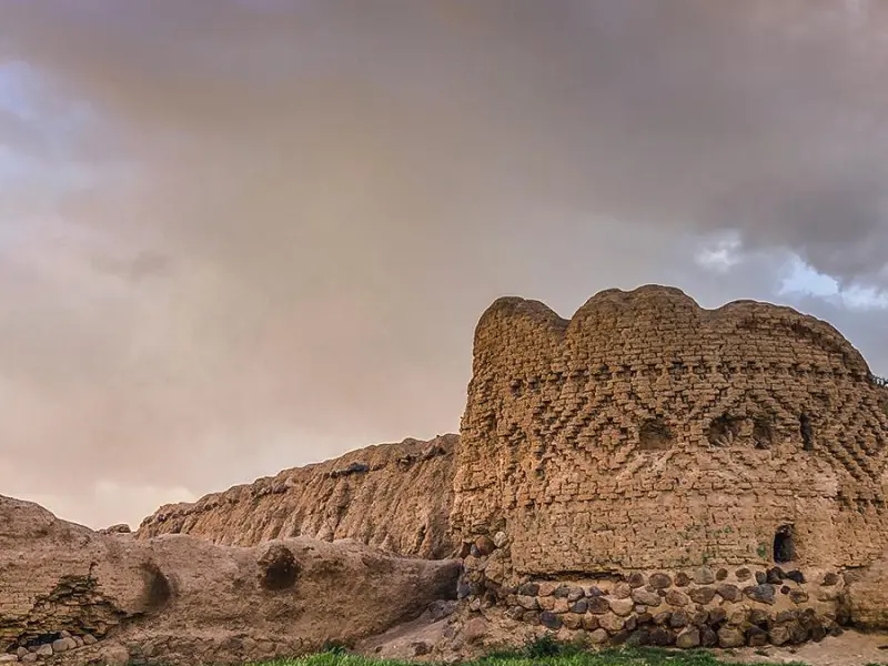
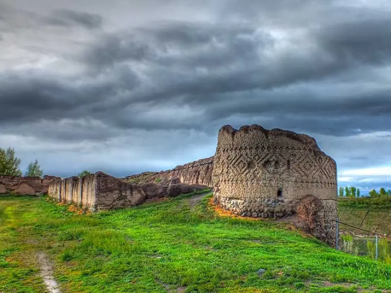
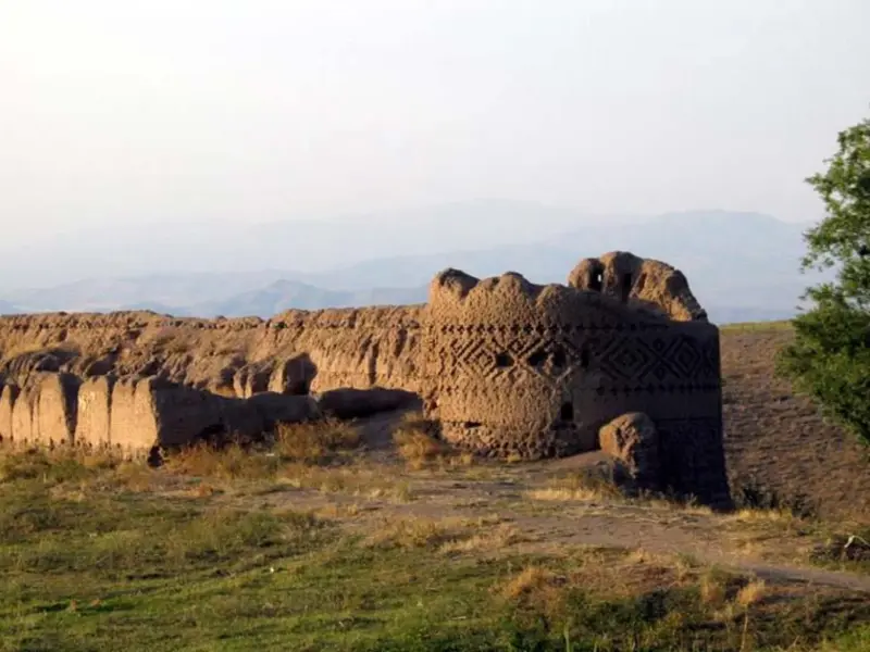
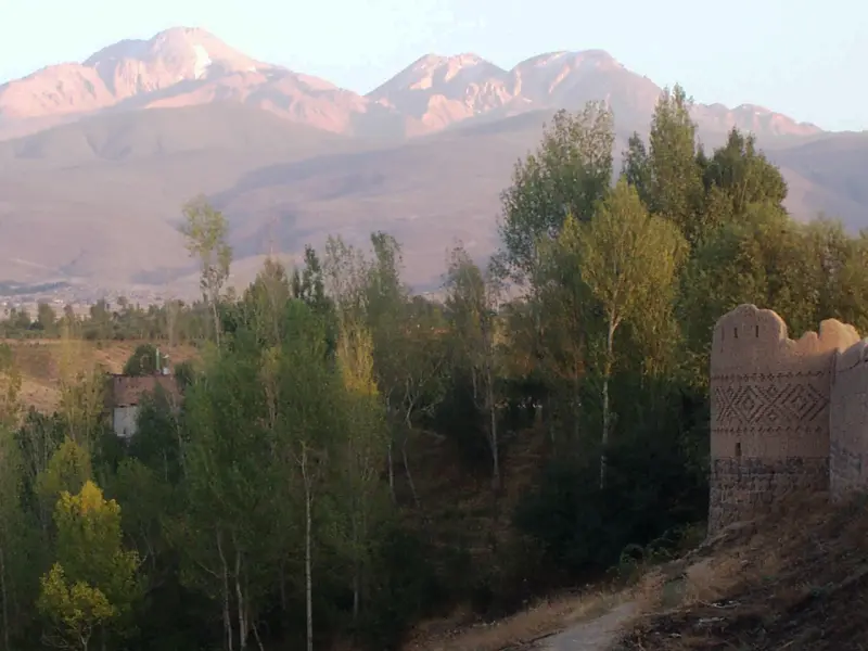
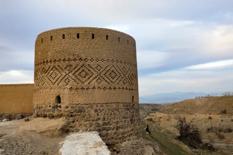
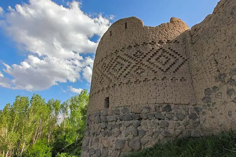
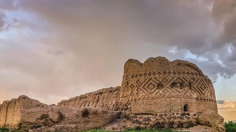
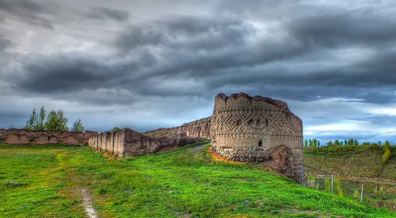
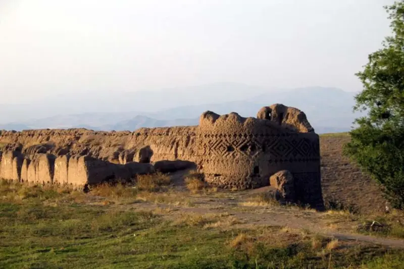
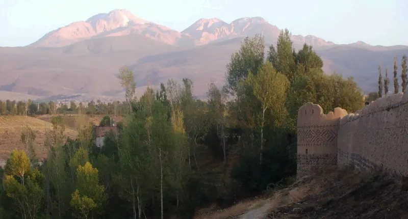
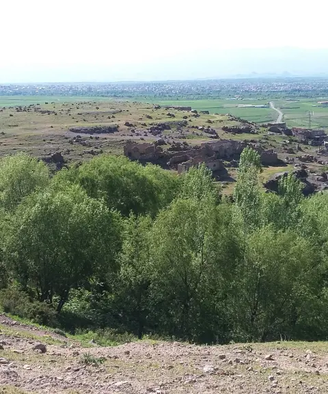
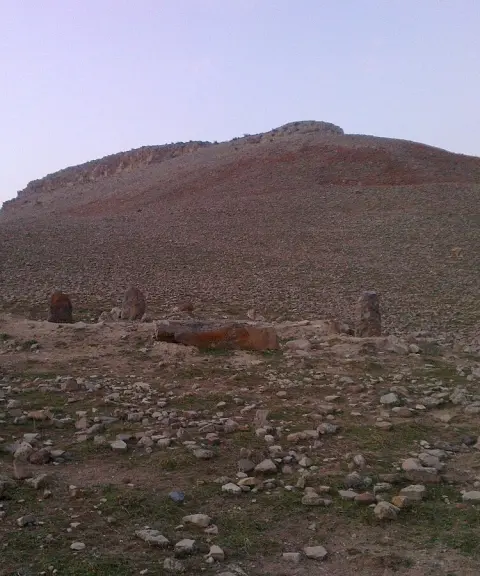
Kohneh Ghaleh is one of the most notable historical monuments of Ardabil Province. It stands at the entrance to the city of Meshgin Shahr, on the left side of the Ardabil road, close to the Khiav Chay River. The fortress covers an area of about 15,000 square metres and rises about 50 metres, standing on a natural hill. Archaeological evidence indicates that the original structure was built during the reign of the Sasanian king Shapur II, on the orders of Narseh Hormoz, the Sasanian governor of Khiav. On the northwest side of the fortress there is an inscription in Sasanian Pahlavi script, which indicates that the fortress was founded in 347 CE, in the seventh month of the seventh year of Shapur II's reign.
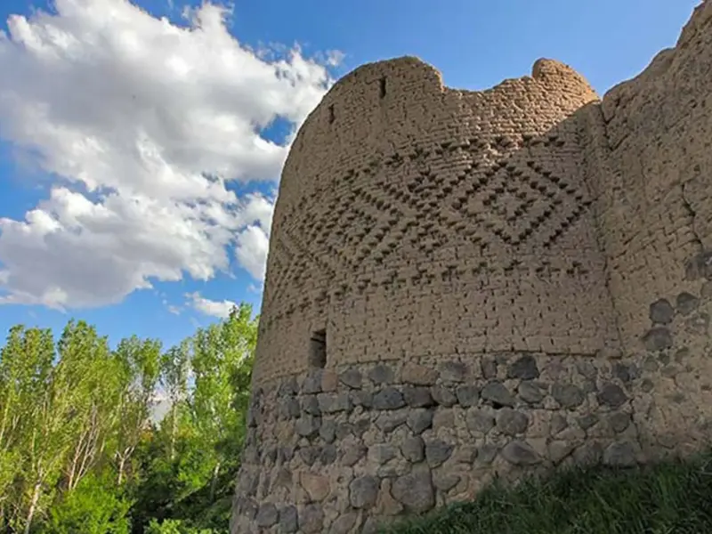
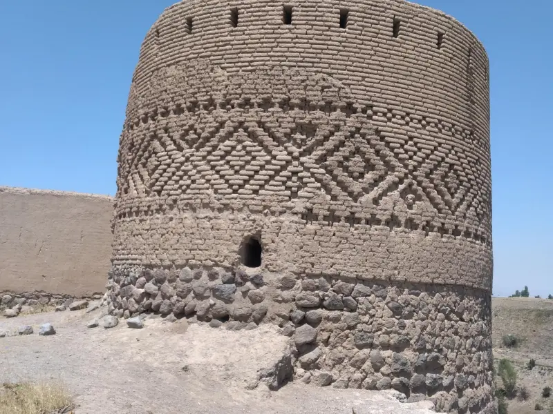
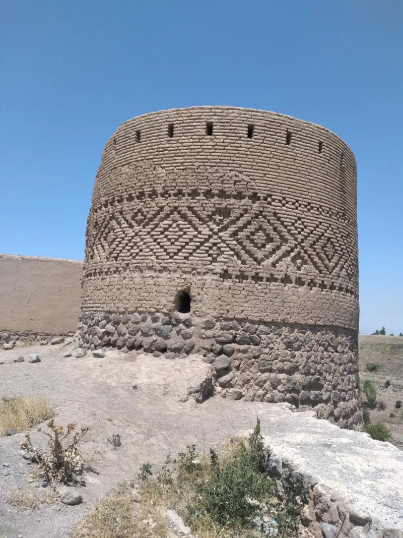
The architecture of Kohneh Ghaleh consists of six small towers with thick mud-brick walls and small stable-like cells. The design was such that each cell was intended to house one soldier together with his horse. The fortress was used as a strategic refuge against enemy attacks and, in different periods, as a royal treasury.
To reach Kohneh Ghaleh, head from Meshgin Shahr toward the Ardabil road. The fortress lies on the left side of the road, near the Khiav Chay River. The best time to visit the area is spring and summer, when the weather is mild and the surrounding landscape is at its most beautiful. Practising responsible nature tourism, such as not harming the environment and keeping the site clean, is essential here.
Written by ستایش عرب Last updated
Activities
What you can do here, and what it takes
-
Walking
مسیرهای اطراف قلعه مناسب پیادهروی تفریحی و گشتوگذار است.
Specifications
Introduction of the location and specifications of Kohneh Ghaleh
Construction Period:
Sasanian
Location:
Ardabil, Meshgin Shahr
Coordinates:
38.40321857, 47.68925233
Open in maps
Height above mean sea:
1416 meter
Floras:
Semi-arid mountainous
Faunas:
Presence of Predatory Animals, Presence of Allergenic Insects, Presence of Herbivorous Animals
Transports:
Private car, Walking, Minibus, Bus
Tourist Attractions in Meshgin Shahr
Attractions that are nearby

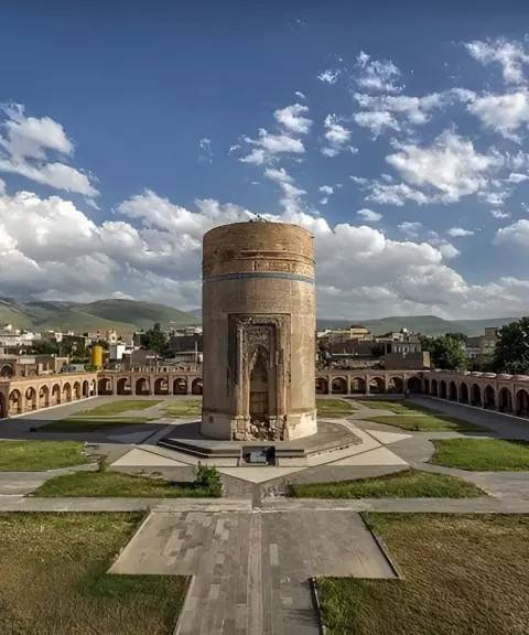

Sheikh Haydar Tomb
Province Ardabil
- Walking
The splendor of Ilkhanid architecture and the resting place of the father of the Safavid dynasty's founder

Tavus Goli Lake
Province Ardabil
- Walking
- Mountaineering
- Fishing
- Rowing
The Turquoise Jewel of the Sabalan Slopes

Related tags:
Unfortunately, no comments have been registered.