
 Mountain
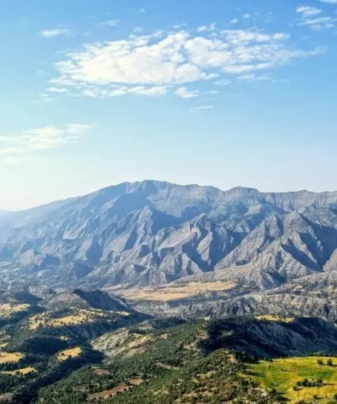
Kabirkuh
Province Ilam
- Walking
- Mountaineering
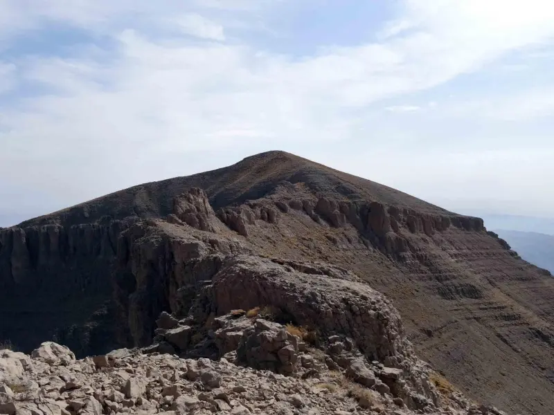
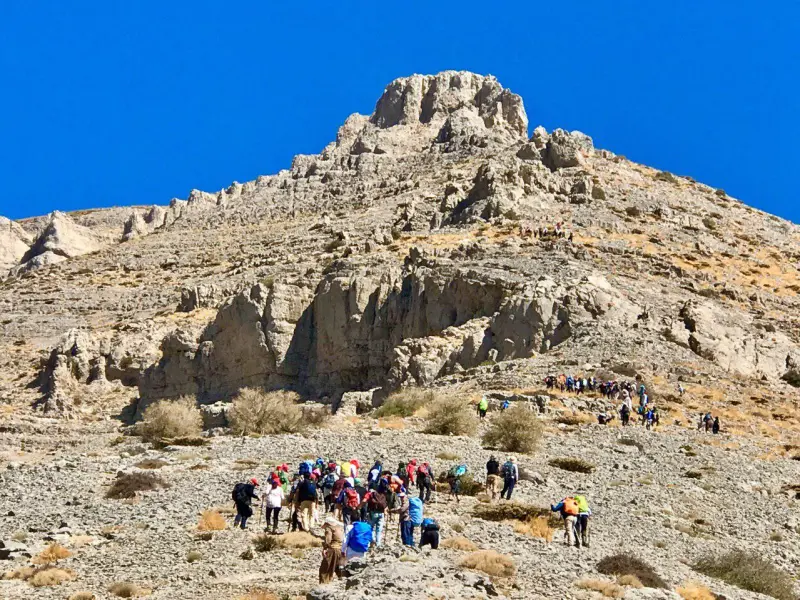
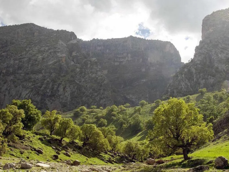
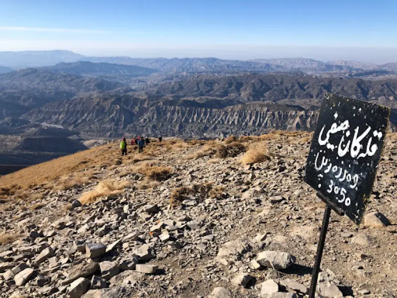
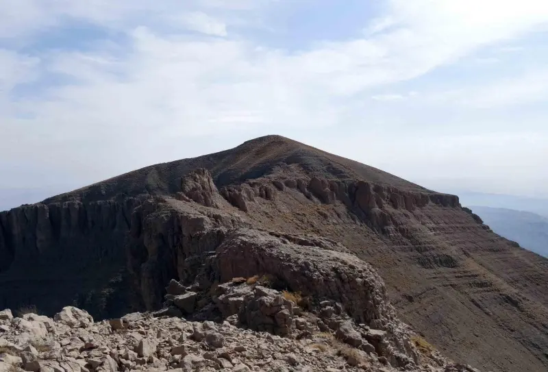
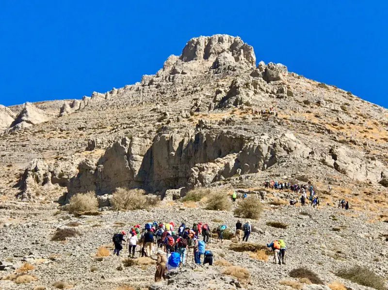
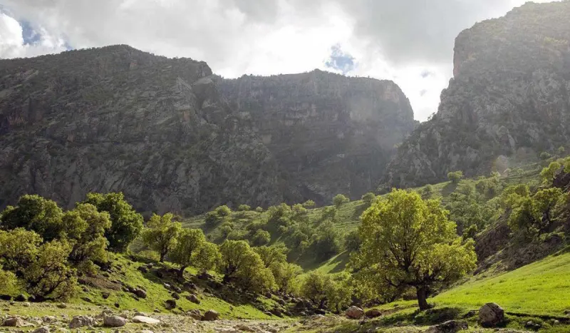
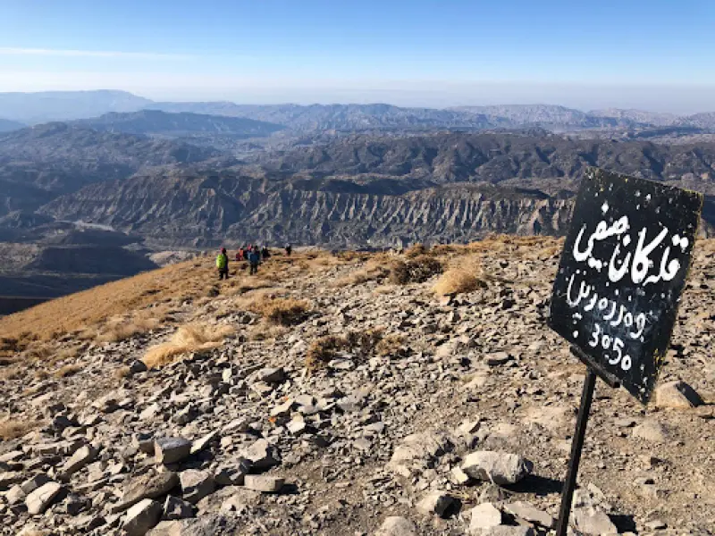
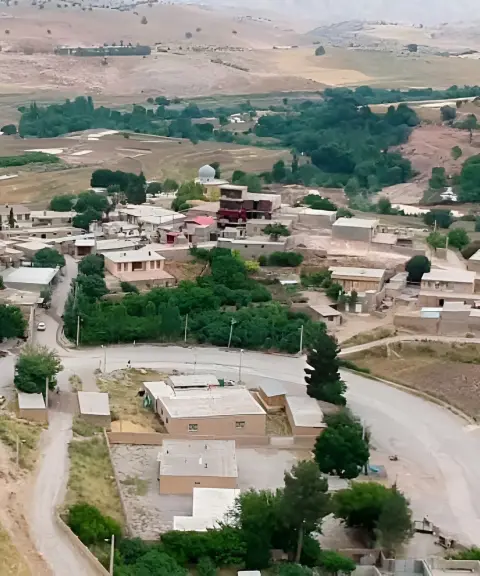
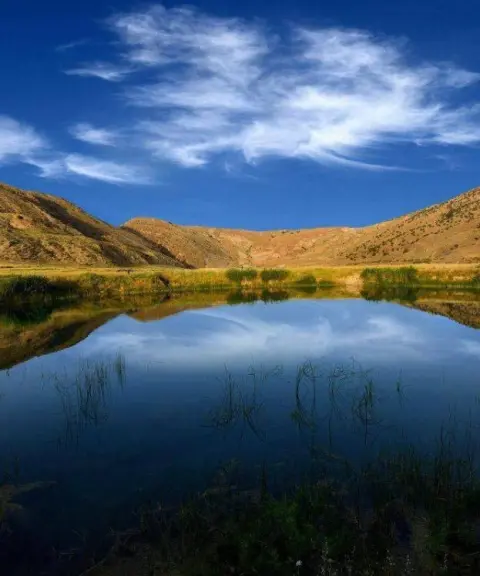
Kan Sayfi Peak, which some sources also call Kan Seyfi, is the highest peak in Ilam Province and part of the Kabir Kuh area of the Zagros Mountains. It is on the list of the Simorgh Peaks. In reports of various ascents, climbers using their own altimeters have recorded an elevation of between 2,800 and 2,900 metres above sea level, while some other sources give 3,050 metres. The range in which Kan Sayfi stands is called Kabir Kuh. Kabir Kuh is a long mountain range that begins 20 kilometres from the city of Ilam and ends in a high wall of rock near Andimeshk in Khuzestan Province. Kan Sayfi, the highest point of this range, lies near the village of Chenarbashi. Kabir Kuh is also the largest mountain range in Ilam Province, about 160 kilometres long, running northwest to southeast like a regular wall. The Kabir Kuh area is one of the forested parts of western Iran.
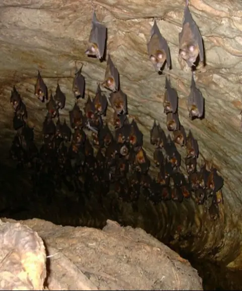
The vegetation of the area is semi-dense and consists mostly of oak, wild cherry (balaluk), Persian maple (arjan), hawthorn and terebinth (keykam). Animal species include the brown bear, leopard, wildcat, caracal, wolf, jackal, red fox, hyena, marten, weasel, wild goat and ibex, wild boar, hare, Persian squirrel, European hedgehog, long-eared hedgehog, grey hamster and house mouse.
There are three different routes to the summit. The southern face, climbed from Ganjeh Chenarbashi village, is the more common route. The northern route starts from Chenarbashi village, and the southern route starts from Cheshmeh Pahn village (Haft Cheshmeh). Considering the weather and climate, the best time to climb is spring.
Written by کیانا دهبندی Last updated
What you can do here, and what it takes
مسیر مناسب برای کوهنوردی میباشد و نیازمند آمادگی جسمانی به اندازه 12 کیلومتر پیمایش میباشد.
Province Ilam
Province Ilam
Province Ilam


Unfortunately, no comments have been registered.