
 Attractions
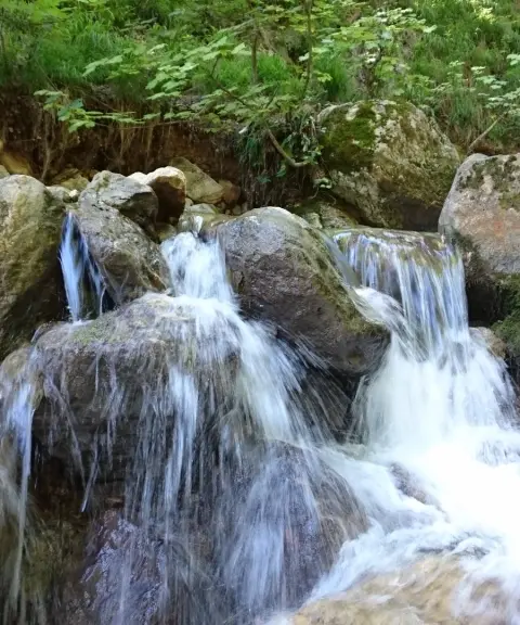

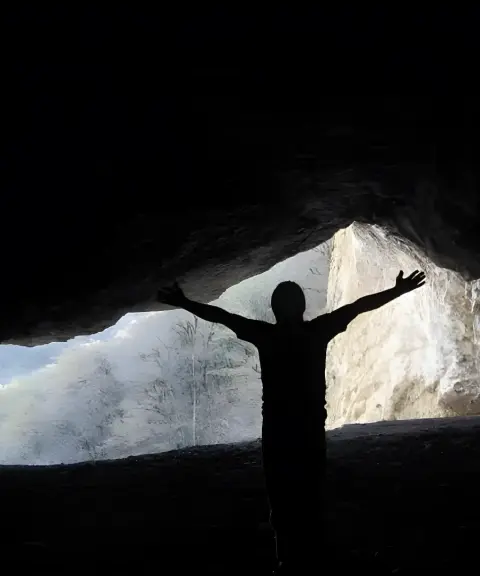
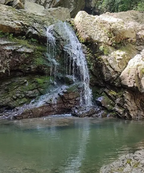
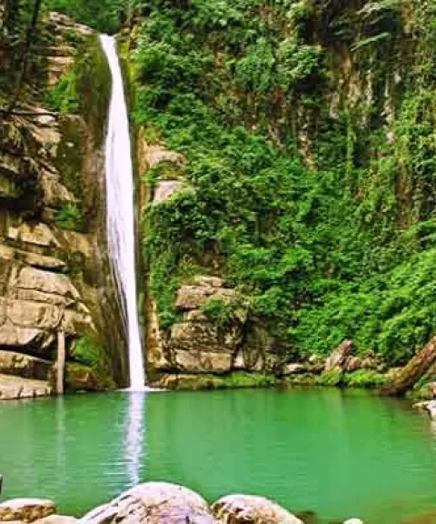
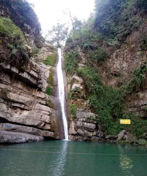
Pashmaki Waterfall
Province Golestan
- Walking
- Swimming
A Green Gem in the Forests of Golestan Province
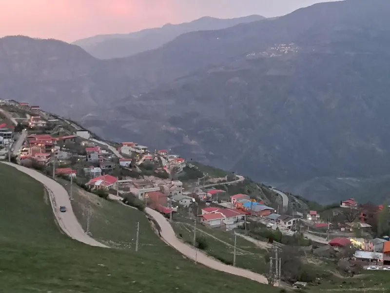
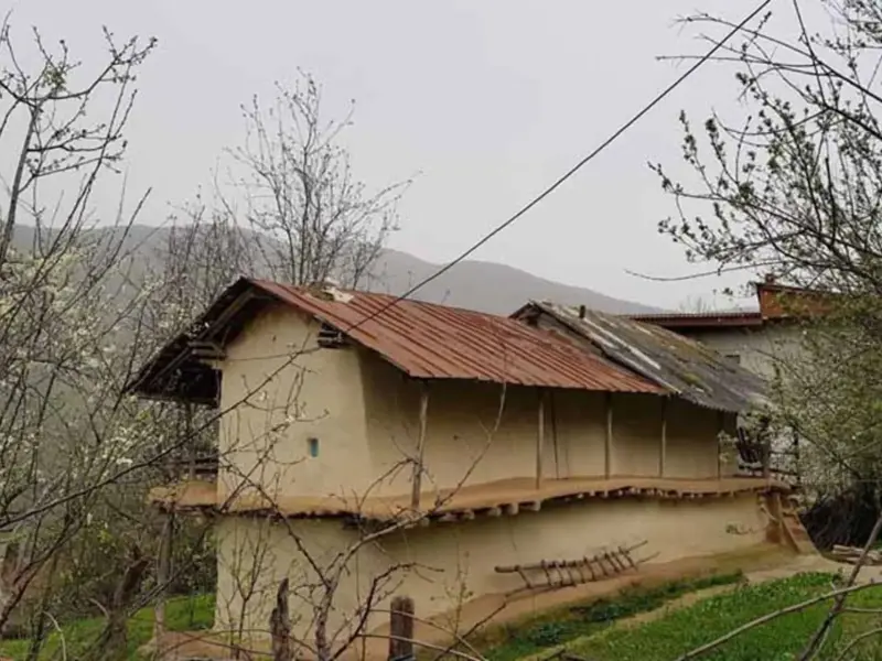
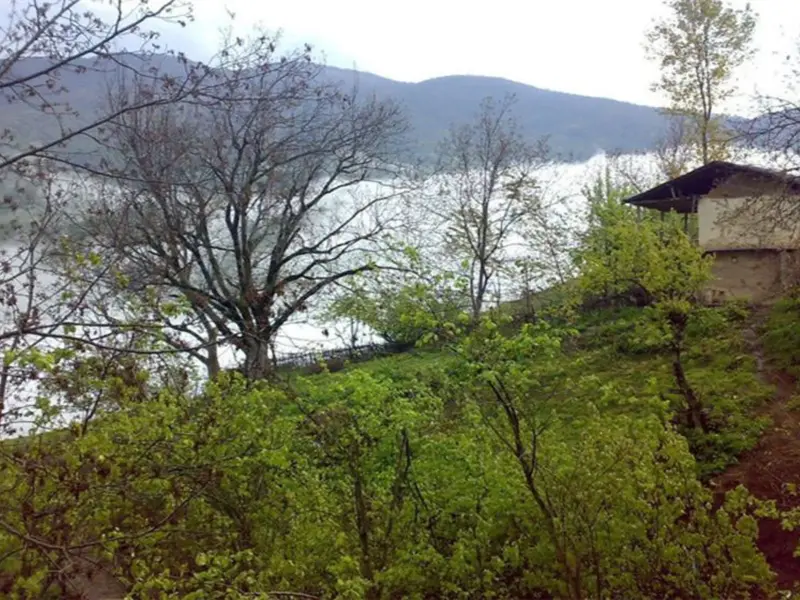
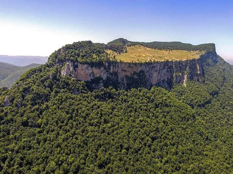
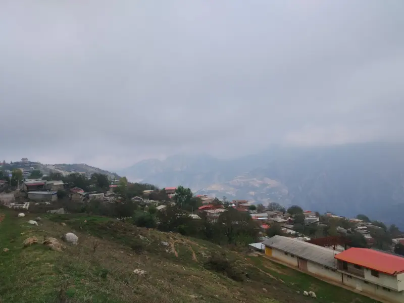
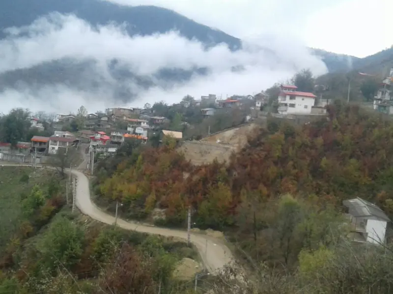
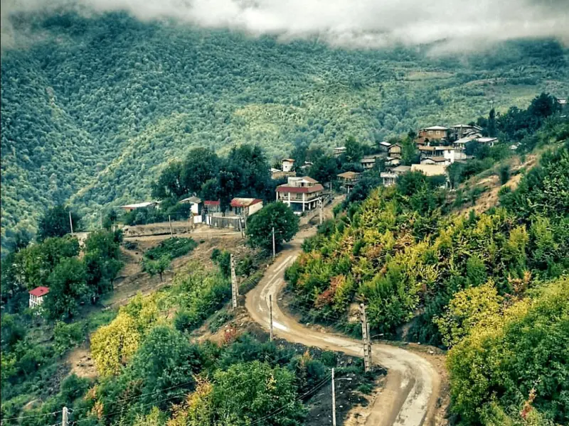
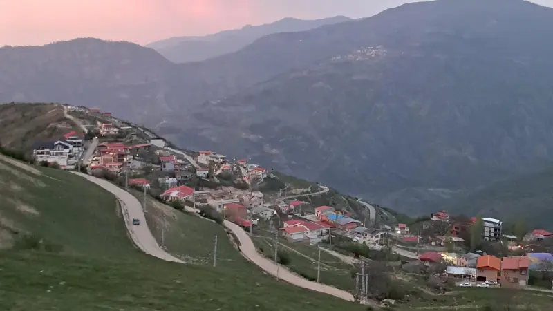
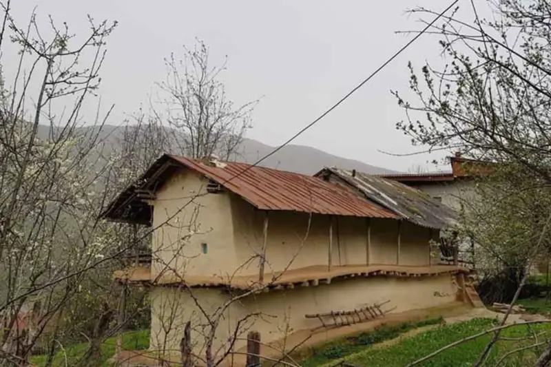
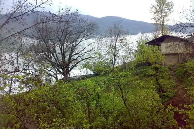
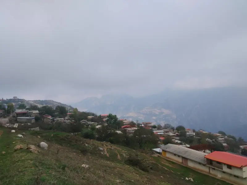
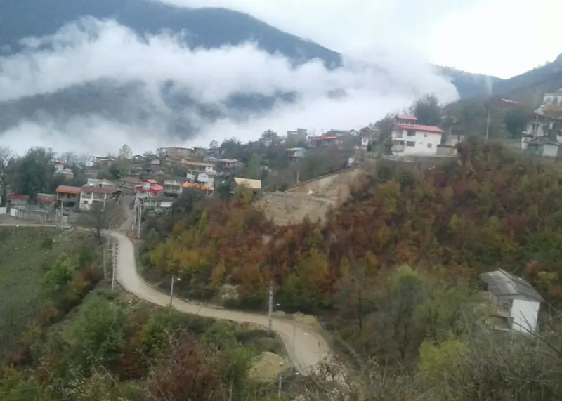
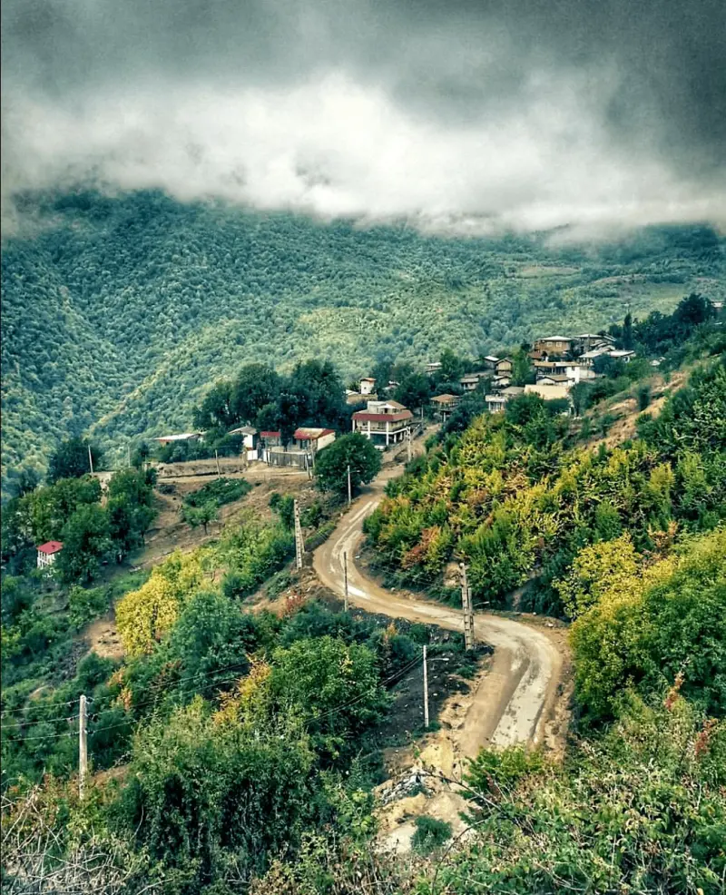
Paghaleh is a village in the Central District of Ramian County, Golestan Province, about 50 kilometres from the city of Gorgan. It is bordered to the northeast by Pol-e Aram, to the south and west by the Qaleh Moran heights, and to the northwest by the Jameh Shuran recreation area. It lies at an elevation of 1,200 metres above sea level and has a mountain climate with cold winters and mild summers, which makes Paghaleh a typical summer-pasture (yeylaqi) village. The village has a remarkable history, and even its name is tied to the past.
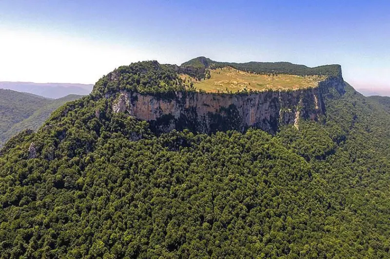
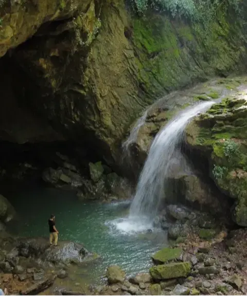
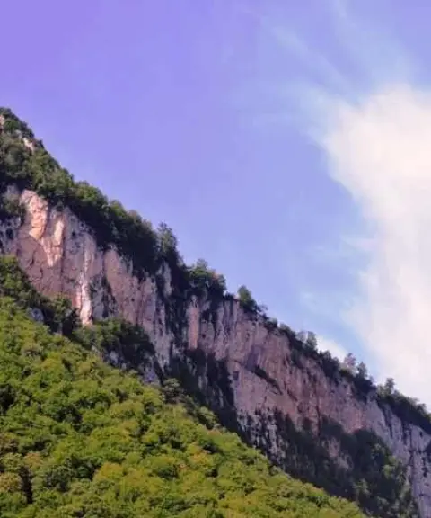
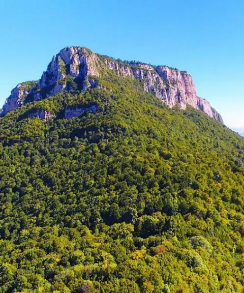
Paghaleh sits on the edge of broadleaf forests, surrounded by lush green landscapes and natural springs such as Sargol and Pashmaki. Three kilometres west of Paghaleh, heights of more than two thousand metres rise up, and the historic Maran Castle is perched on top of them. The castle was built in the time of Tiridates of Parthia and is said to have been the Parthians' summer capital. It is also known as Moran and Miran, and is probably one of the surviving remains of the historic city of Tamisheh. Its north wall is 215 metres long and is considered the highest natural wall in Golestan Province. The village is named for its position at the foot ("pa") of Maran Castle ("qaleh"). The people of Paghaleh speak the Astarabadi dialect, and over the past decades some of them have migrated to the cities of Ramian and Azadshahr. The village economy is based on farming, livestock, orchards and handicrafts. Handicrafts, local dairy products, bread and traditional foods are also part of the daily and cultural life of the village.
To reach Paghaleh, drive from the city of Ramian towards the southwest, taking the road that leads to Qaleh Miran Rural District. The road to the village is paved and access is easy. The best time to visit is from spring to early autumn, when the weather is pleasant for being outdoors in the surrounding forests and the landscapes are at their greenest. Responsible visiting means keeping the quiet of nature, not cutting down trees, taking your rubbish with you and respecting the local culture, so that this beautiful place is preserved for future generations.
Written by زهرا لنگری Last updated
What you can do here, and what it takes
مسیرهای پاکوب اطراف روستا بین جنگلهای پهنبرگ برای قدمزدن و طبیعتگردی سبک بسیار مناسباند.
Province Golestan
Province Golestan
Province Golestan
Province Golestan
Province Golestan
Province Golestan


Unfortunately, no comments have been registered.