
 Mountain
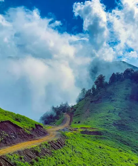

Javaherdasht
Province Gilan
- Walking
- Cycling
- Rowing
- Fishing
- Mountaineering
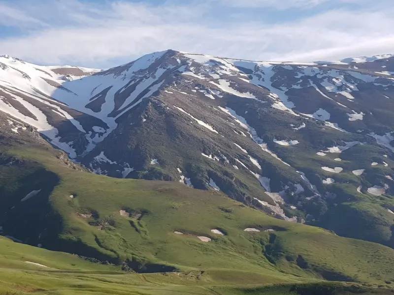
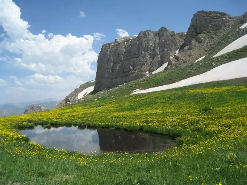
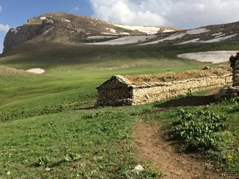
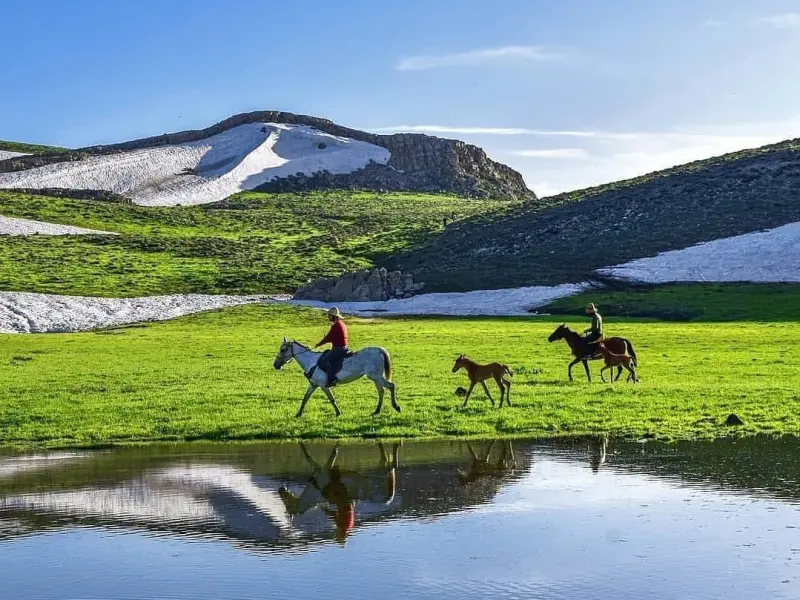
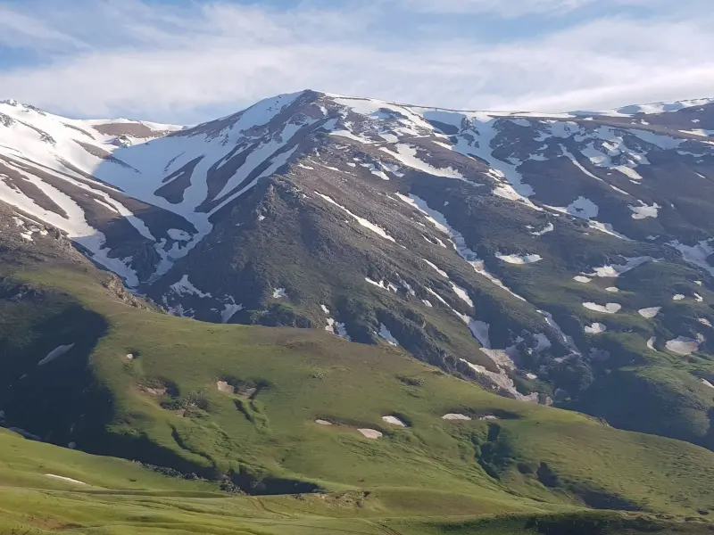
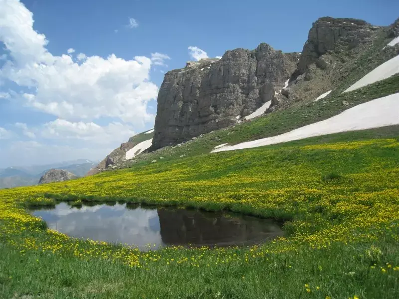
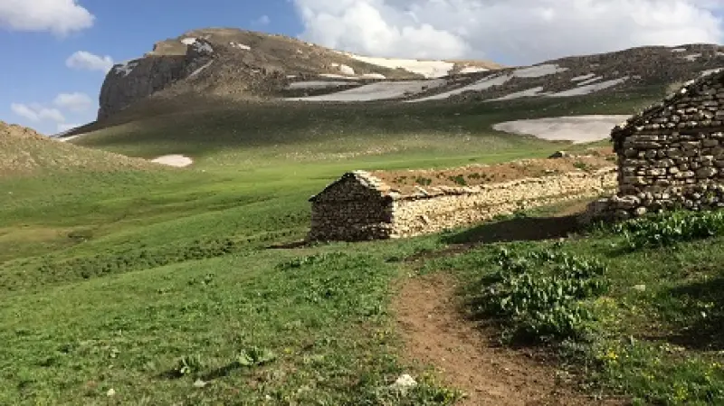
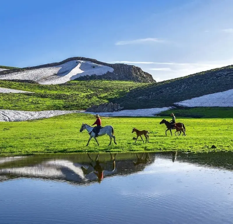
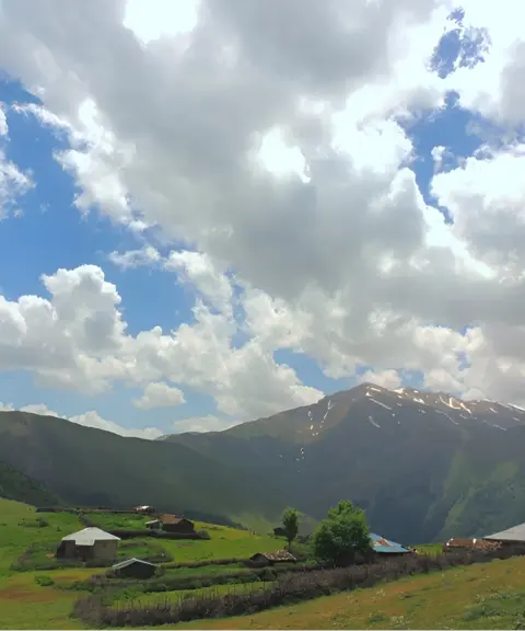
Samamous is the name of a section of the Alborz mountain range and also of a peak, known as Samam Peak, which rises to 3,721 metres. It is the highest peak overlooking the Caspian Sea and the highest peak in Gilan Province, located in Rudsar County. Samam is the general name of an area northwest of Chakad that contains several settlements; its people are called "Samami". Among its well-known figures is Sheikh Ali Akbar Elahian Samami Ramsari, one of the founders of the Tafkik school. The Samam area is part of "Pain Ashkevar" (Lower Ashkevar), and in local usage Samam is one of the villages of "Jir Ashkevar" in Rudsar.
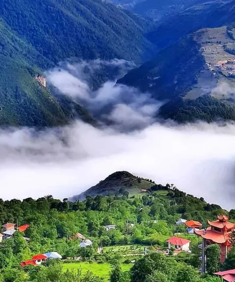
Near the summit stands a shrine (imamzadeh) called Agha Samamous, which, according to some historians, is in fact Karkia Yahya Kiaei, one of the Kiaei princes of Lahijan. Climbers can leave their belongings there and, after a short rest, prepare for the summit climb. If you stand on top of Samamous Peak, the whole Ashkevarat valley down to the sea is usually covered in mist.
There are two climbing routes to this peak, one from the north face and the other from the east. The level of difficulty varies depending on the route you choose; for example, climbing from the north face is easier than from the east face. Considering the weather conditions, the best time to climb this peak is summer. For a winter ascent of Samamous, you should approach the main summit via the Salmal East Peak and its ridge above Javaherdeh. In this season the Lapasar route is subject to terrifying avalanches.
Written by کیانا دهبندی Last updated
What you can do here, and what it takes
چند مسیر مناسب برای کوهنوردی دارد که میتوانید با توجه به آمادگی جسمانی خود مسیر مناسب را انتخاب نمایید.
Province Gilan
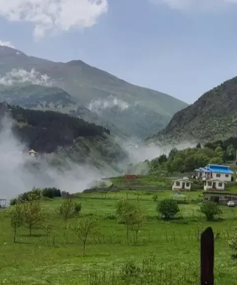
Province Mazandaran
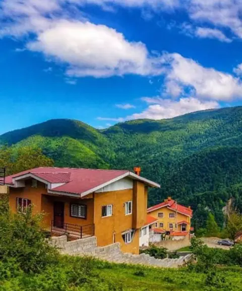
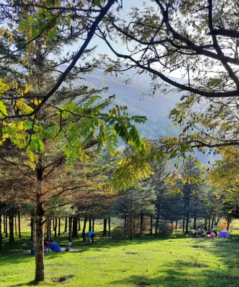
Province Mazandaran
Province Gilan
Province Gilan
Province Mazandaran


Unfortunately, no comments have been registered.