
 Seas and Lakes
Shokola Abbandan
The tranquility of water and forest in the heart of Dodangeh District
- Seas and Lakes
- Mazandaran, Sari
- Altitude 891 m
- Ability level Beginner
Ability level:
Beginner
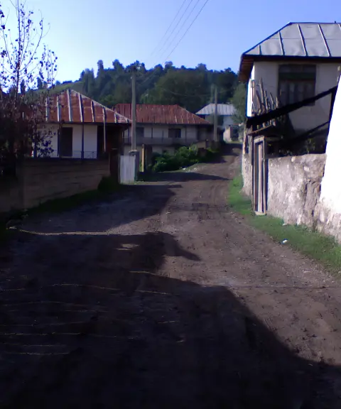
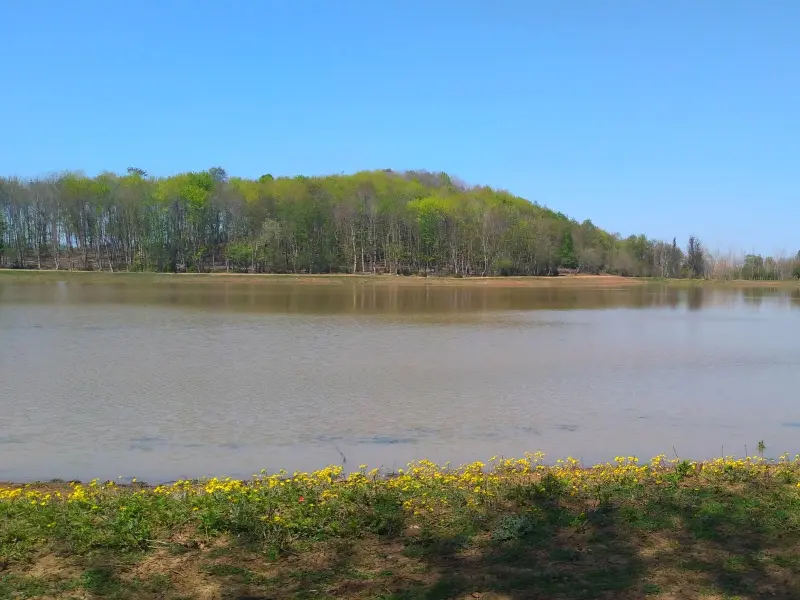
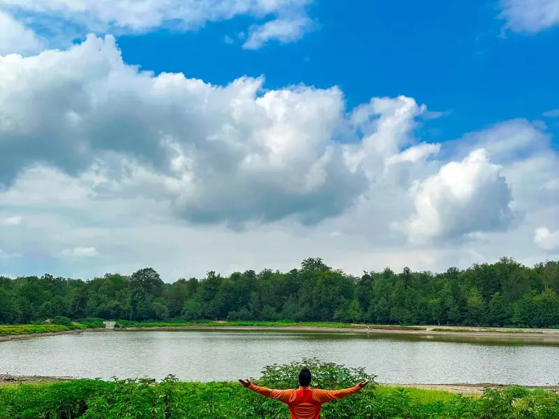
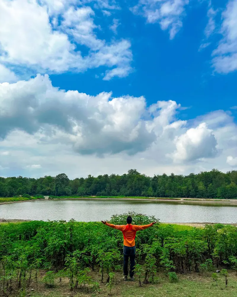
Shokola Abbandan lies in the heart of Dodangeh District, in the south of Sari County in Mazandaran Province, and is one of the region's unspoiled and scenic natural attractions. Located near the village of Kersam, this abbandan (a traditional forest water reservoir) sits in a mountainous, wooded setting. Fed by natural springs and surrounded by a peaceful atmosphere, it offers visitors a different and distinctive nature-tourism experience.
Around the abbandan there are short, pleasant trails that let nature lovers walk through the forest and enjoy the natural scenery. These include the route between Shokola Abbandan and Sorkholik Abbandan, which is recorded in reliable trail documentation. The abbandan is fed by natural springs and is therefore usually full of water; this offers a good opportunity to experience silence and calm and to watch the gentle flow of the water.
To reach Shokola Abbandan, first travel to Dodangeh District, about 60 kilometers from Sari. Then continue along minor roads and footpaths through the forest and uphill until you reach the abbandan. The best time to visit is from spring to early autumn, when the routes are easier to access. While in the area, it is especially important to practice responsible nature tourism: keep the natural quiet, collect and carry out your trash, and avoid damaging the vegetation, so that the beauty of this unspoiled area is preserved for future visitors.
Written by ستایش عرب Last updated
Activities
What you can do here, and what it takes
-
Walking
مسیر پاکوب میان جنگلهای اطراف آببندان شوکلا، مناسب برای پیادهروی آرام و تماشای مناظر جنگلی است.
-
Rowing
با کرایه قایق میتوانید قایقرانی کنید.
Specifications
Introduction of the location and specifications of Shokola Abbandan
Location:
Mazandaran, Sari, Kersam Village
Coordinates:
36.30695378, 53.31643683
Open in maps
Height above mean sea:
891 meter
Floras:
Temperate Broadleaf and Mixed Forests
Faunas:
Presence of Predatory Animals, Presence of Allergenic Insects, Presence of Herbivorous Animals
Transports:
Private car, Walking, Minibus, Bus
Tourist Attractions in Sari
Attractions that are nearby

Sorkh Valik Village
Province Mazandaran
- Walking
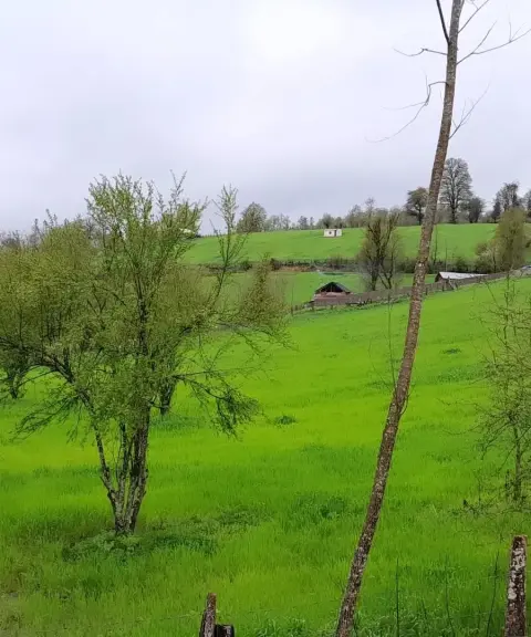
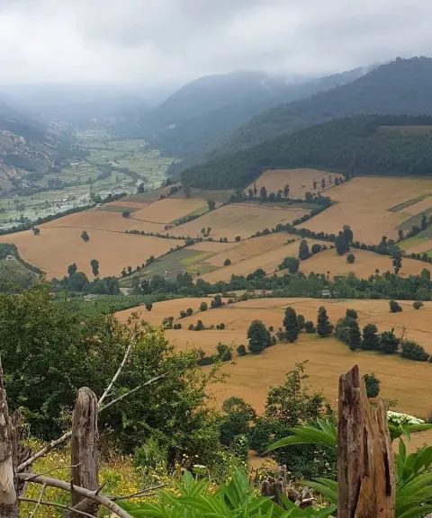
Pristine nature and rural culture in the heart of Mazandaran's forests

Kersam Waterfall
Province Mazandaran
- Walking
- Swimming
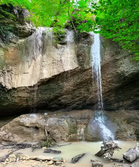
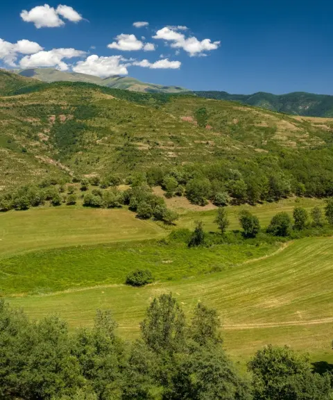
A Small Gem in the Heart of Chahardangeh, Mazandaran
Parvarijabad Village
Province Mazandaran
- Walking
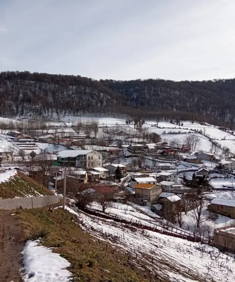
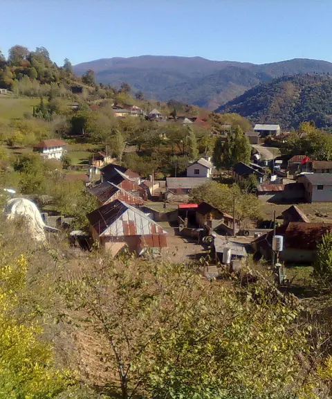
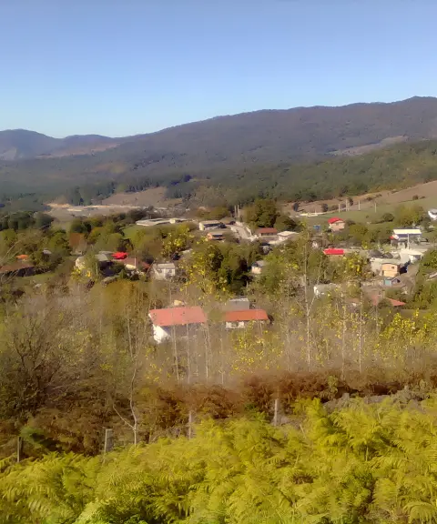
A quiet village in the heart of the Mazandaran mountains
Related tags:
Unfortunately, no comments have been registered.