
 Desert (Kavir)
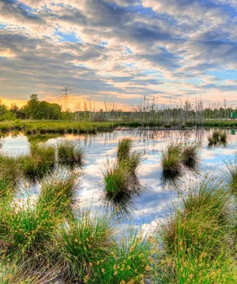
Kavir-e Kabudan
A striking contrast on the shore of Lake Urmia
- Desert (Kavir)
- West Azerbaijan, Urmia
- Altitude 1,275 m
- Ability level Intermediate
Ability level:
Intermediate
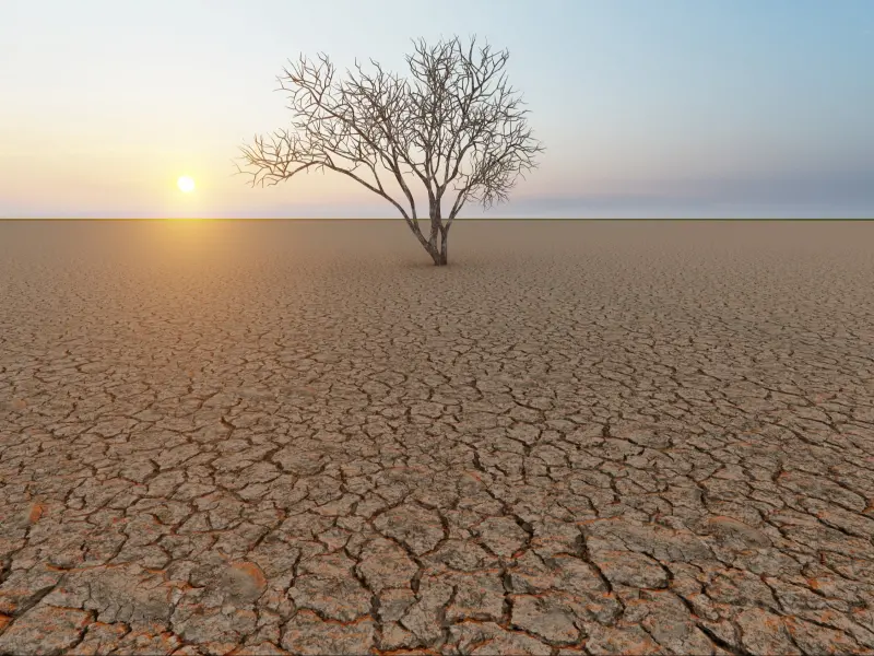
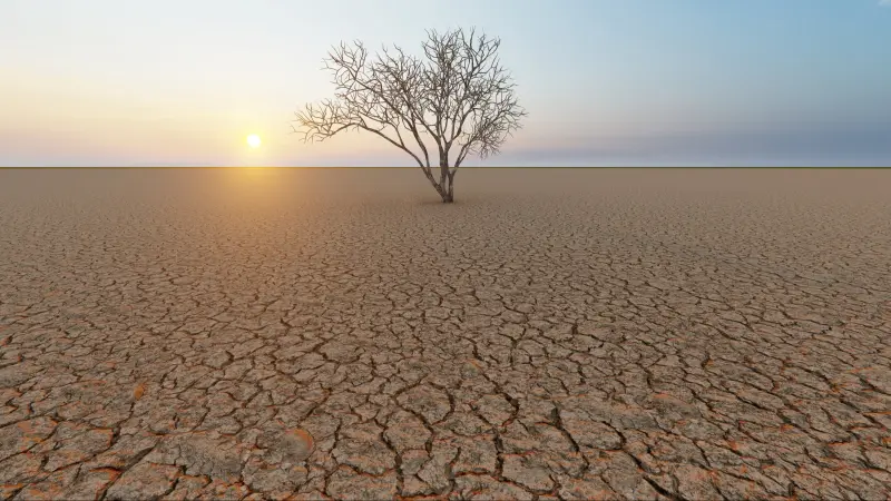
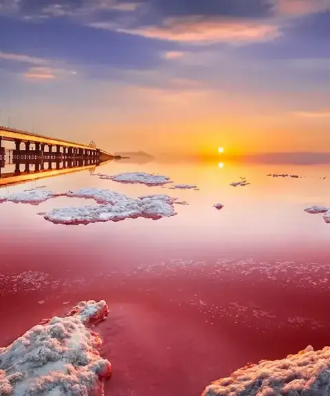
Kavir-e Kabudan is a vast salt flat in the Lake Urmia basin, regarded as one of the most distinctive natural landscapes of the region. The desert surface stretches from northeast to southwest, and according to survey data it is about fifty kilometres long, with an average width of nearly thirty-two kilometres. This expanse of unbroken white forms a natural boundary between the land and the waters of the lake, creating a rare view in northwestern Iran.
From a natural standpoint, Kavir-e Kabudan creates a striking contrast between the white salt flats and the blue expanse of Lake Urmia, offering visitors a rare landscape made up of two different worlds. For most of the year this area looks like a single, continuous salt pan, but at certain times of the year, when the water level rises, parts of it may be temporarily connected to the lake and take on a more fluid appearance. The surroundings of the desert are also covered with vegetation adapted to salinity and dryness; given its particular environmental characteristics, this habitat provides suitable conditions for animal species native to this climate.
The most suitable way to reach Kavir-e Kabudan is to approach from the Lake Urmia side, since this salt flat lies on the southern and eastern edge of the lake and you can drive to some parts of it. Because of the special nature of the area and the possibility of seasonal changes in the surface of the salt flat, it is recommended to be accompanied by local guides or specialist desert-trekking groups. The best time to visit is during the mild periods of the year, such as spring and autumn, when the temperature is more comfortable and the glitter of the salt flat beside the waters of the lake looks even more spectacular. Responsible nature tourism is essential in this environment: avoid causing any pollution or damaging the salt surface, and the hardy vegetation around the desert also needs to be protected and respected by visitors.
Written by ستایش عرب Last updated
Activities
What you can do here, and what it takes
-
Walking
مسیرهای نمکآلود کف کویر امکان پیادهروی سبک و کاوش مناظری بینظیر را فراهم میکنند.
Specifications
Introduction of the location and specifications of Kavir-e Kabudan
Location:
West Azerbaijan, Urmia
Coordinates:
37.54729941, 45.73471069
Open in maps
Height above mean sea:
1275 meter
Floras:
Deserts and Dry Shrublands
Faunas:
Presence of Predatory Animals, Presence of Allergenic Insects, Presence of Herbivorous Animals
Transports:
Private car, Walking, Minibus, Bus
Tourist Attractions in Urmia
Attractions that are nearby


Arezoo Island
Province East Azerbaijan
- Walking
- Rowing
- Swimming
- Fishing
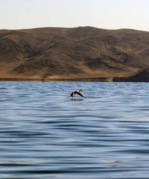
The Silent Jewel of Lake Urmia

Ashk Island
Province West Azerbaijan
- Rowing
- Walking
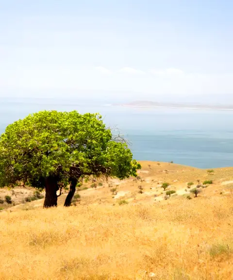
A Refuge for the Persian Fallow Deer in the Heart of Lake Urmia


Jame Mosque of Gogan
Province East Azerbaijan
- Walking
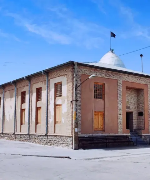
A Qajar-era landmark with traditional Azerbaijani wooden architecture
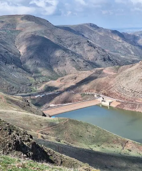
Qaleh Chai Dam
Province East Azerbaijan
- Walking
- Fishing
A Blue Jewel in the Heart of East Azerbaijan's Nature
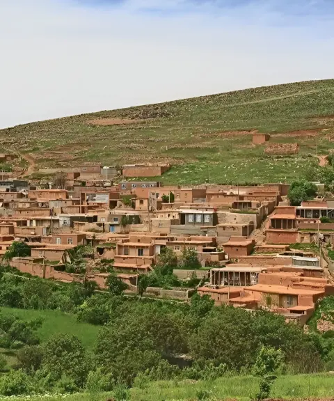
Totakhaneh Village
Province East Azerbaijan
- Walking
- Cycling
- Mountaineering
A red-hued terraced village on the slopes of the Bonab mountains
Related tags:
Unfortunately, no comments have been registered.