
 Caves
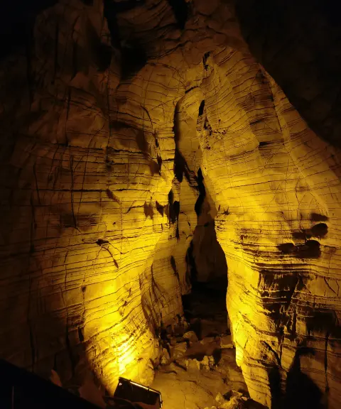
Mirshekar Cave
Province Chaharmahal and Bakhtiari
- Walking
- Caving
A natural and historical treasure in the heart of Chaharmahal and Bakhtiari
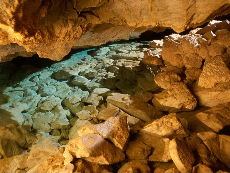
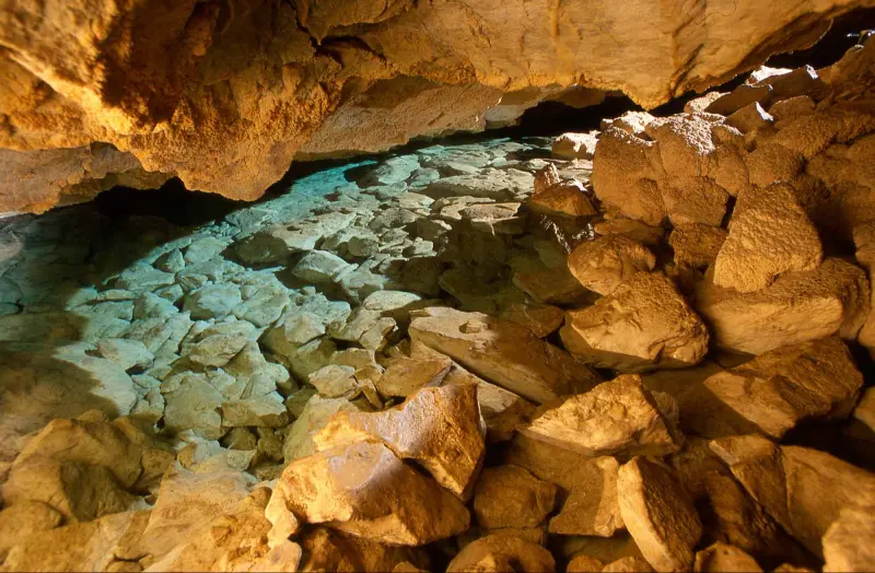
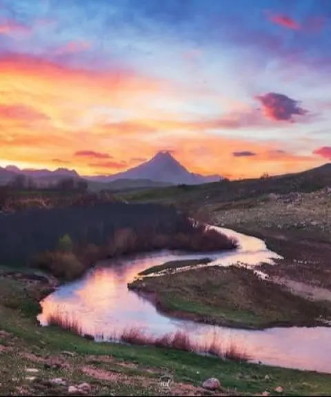
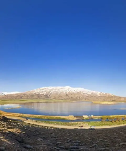
Ardal Cave is a natural cave formed by erosion in Chaharmahal and Bakhtiari Province. It lies on the Junqan–Ardal road, about 4 kilometres from the Ardal Tunnel. The cave is located in Ardal County, one of the greenest areas of the province. Its entrance sits about 300 metres above the road, at an elevation of roughly 2,250 metres above sea level. When driving from the tunnel towards Junqan, look to the left side of the road and you can easily spot the cave entrance. Covering 16,403 square kilometres, Chaharmahal and Bakhtiari Province has great potential for attracting domestic and international visitors, with natural attractions such as Tang-e Sayyad National Park, the Choghakhor and Gandoman wetlands, and numerous waterfalls and springs. Ardal Cave is one of its unique attractions.
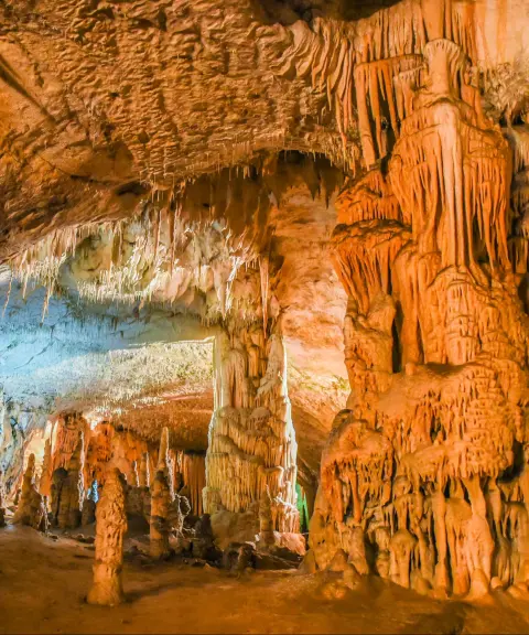
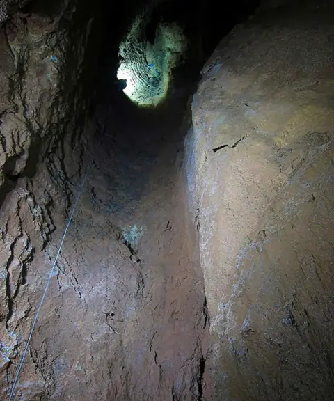
The structure of Ardal Cave shows the effects of natural erosion. The rock of the mountain is layered and full of fractures, and over the centuries wind, rain, snow, frost and temperature changes have eroded it, creating beautiful cave spaces inside the mountain. Ardal Cave is one of the most notable examples. The entrance opens to about 1.5 × 2 metres, and the interior is circular with a domed ceiling; the floor is about 12 metres across and the height from floor to ceiling is about 10 metres. The rocks inside the cave are cubic and geometric in shape, and on both sides there are ledges 3 metres wide that were probably resting places for ancient cave dwellers. Excavations show successive layers of soil, charcoal and ash on the cave floor, indicating that people lived here for a long period in prehistoric times. To the left of the entrance, eroded rock has formed a natural gateway, a striking geological feature.
To visit Ardal Cave, first travel to Ardal County and take the Junqan–Ardal road until you are about 4 kilometres from the Ardal Tunnel. From there, a 15 to 20 minute hike up the mountain slope on the left side of the road brings you to the cave entrance. The path is covered with loose gravel and can be slippery, so suitable footwear, a helmet and a flashlight are essential. The best time to visit is spring and summer, when the mountain air is pleasant and the surrounding landscape is green. Practising responsible nature tourism, including not harming the environment and keeping the route clean, helps preserve the beauty and tranquillity of this natural and historical attraction and ensures a safe and enjoyable experience for visitors.
Written by ستایش عرب Last updated
What you can do here, and what it takes
مسیر غار مناسب برای پیادهروی سبک و لذت بردن از مناظر طبیعی اطراف است.
تجهیزات غارنوردی را به همراه داشته باشید.
مسیر غار با شیب ملایم تا نسبتاً تند، امکان کوهپیمایی سبک تا متوسط را برای علاقهمندان فراهم میکند.
Province Chaharmahal and Bakhtiari
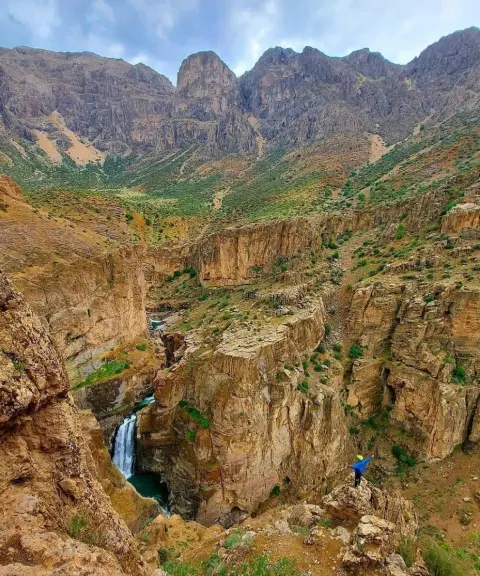
Province Chaharmahal and Bakhtiari
Province Chaharmahal and Bakhtiari
Province Chaharmahal and Bakhtiari
Province Chaharmahal and Bakhtiari
Province Chaharmahal and Bakhtiari
Province Chaharmahal and Bakhtiari
Province Chaharmahal and Bakhtiari


Unfortunately, no comments have been registered.