
 Waterfalls
- Ability level Advanced
Ability level:
Advanced
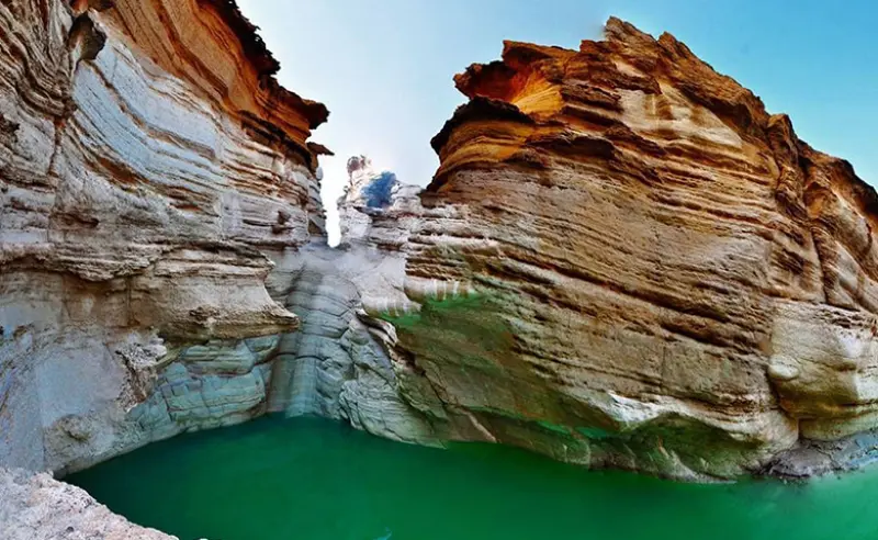
Raghez Canyon in Darab (also known as Raghez Valley) is one of the tourist attractions of Fars Province. It lies in Fasarud District, 30 kilometres northwest of the city of Darab and close to the village of Raghez, and it is one of the unspoiled nature-tourism areas of Iran. The canyon is located in an area called Hasanabad, in southeastern Fars Province, which is bordered by the counties of Neyriz and Estahban to the north, Fasa to the west, Lar and Zarrin Dasht to the south, and Hormozgan Province to the east.
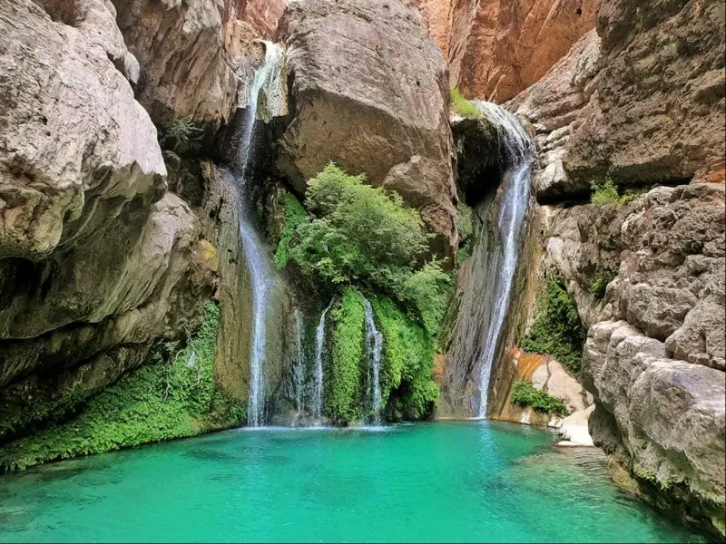
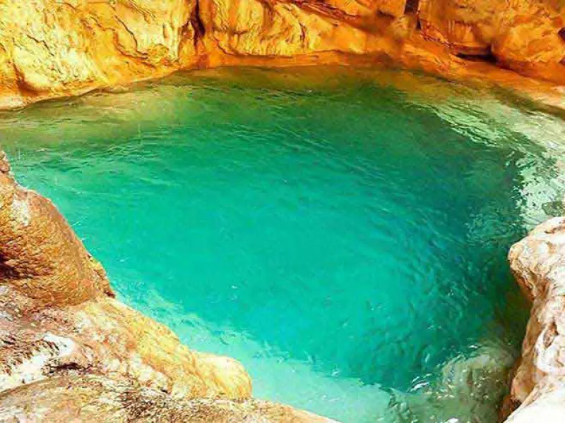
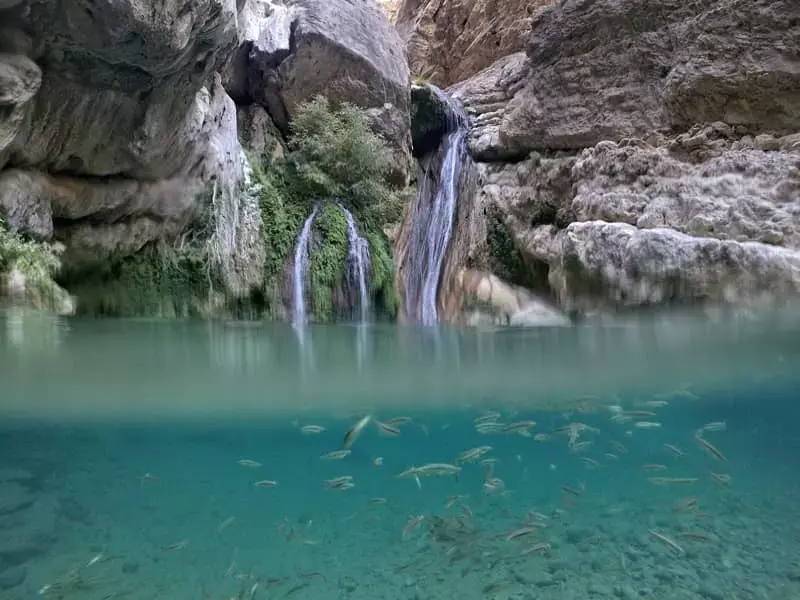
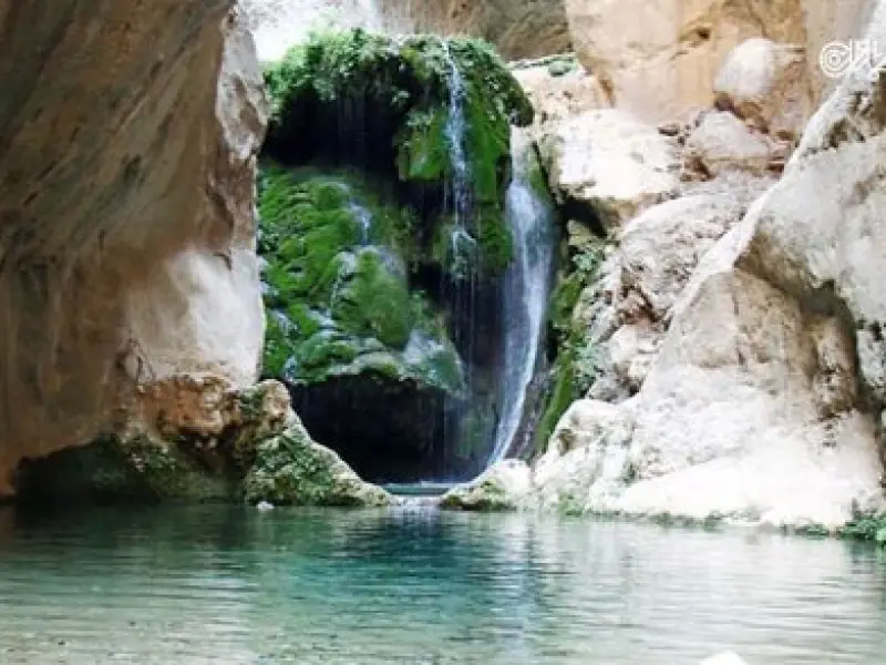
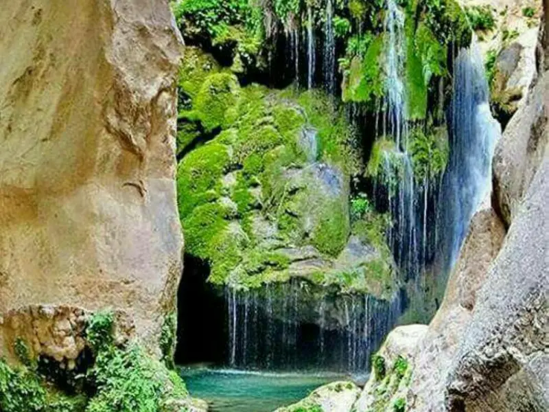
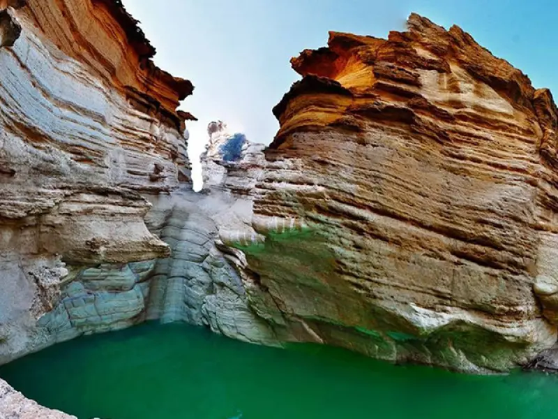
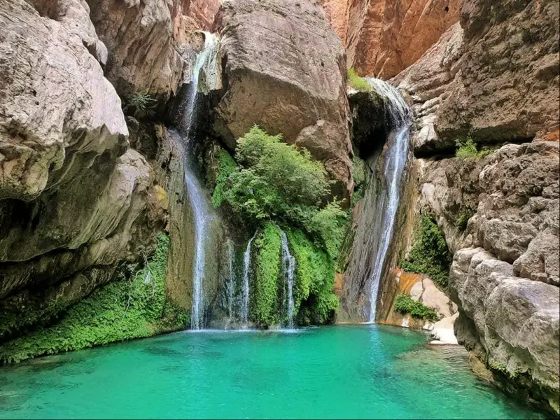
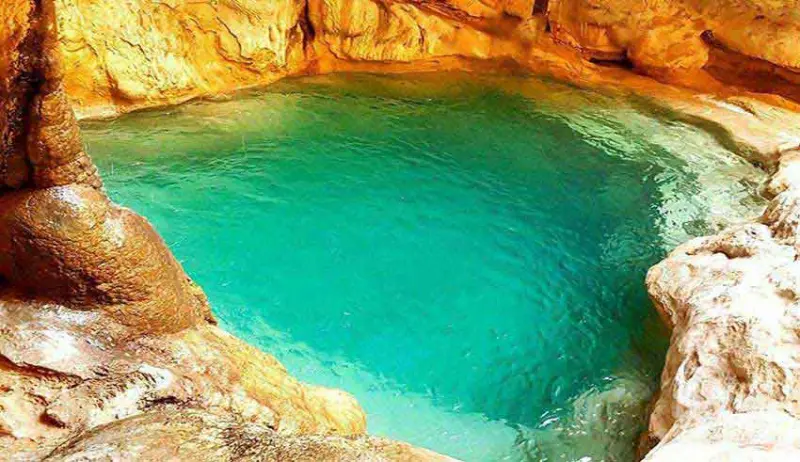
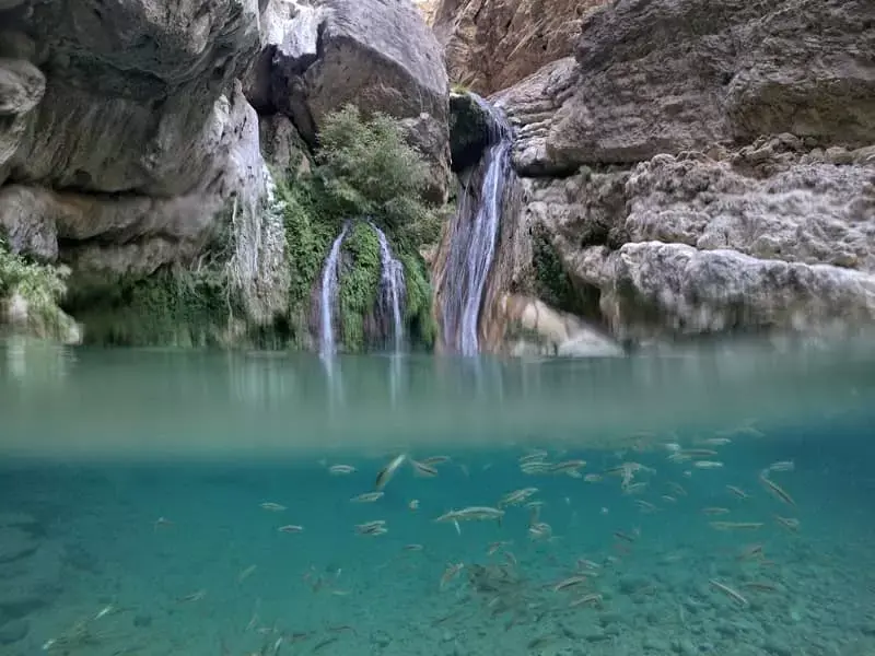
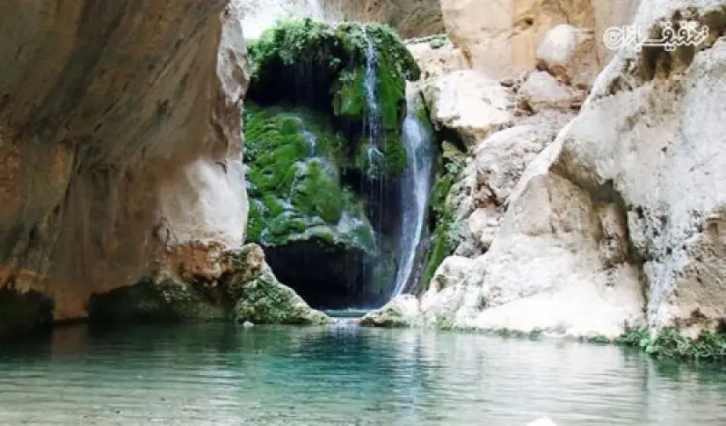
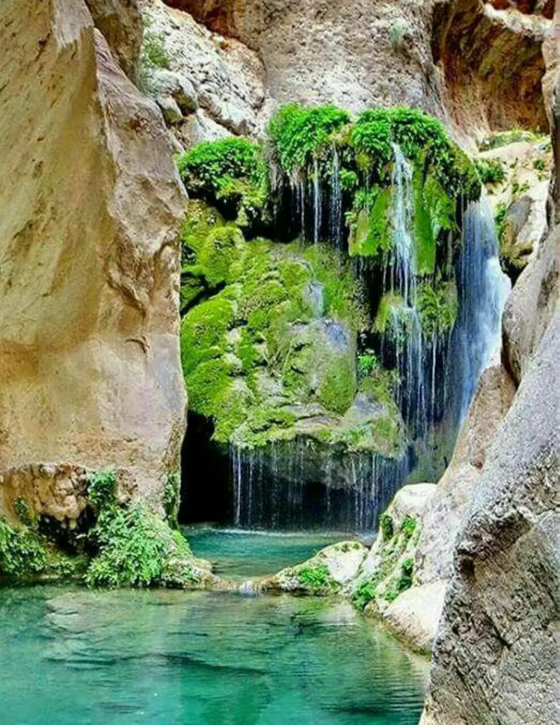
The water flowing through Raghez Canyon rises from a spring in the heart of a forest and runs along a five-kilometre valley until it reaches the southern valley, where it returns to open ground. Along the way, on what is one of the best nature-tourism routes in Iran, it forms 60 beautiful natural pools and dozens of small and large waterfalls and pools. The pools of Raghez Canyon are between 6 and 20 metres deep and up to 100 metres long, and they are enclosed by tall walls through which you can see only a small strip of sky. Raghez Valley is roughly four kilometres long, running north to south from the Raghez spring to the southern valley, and contains 64 waterfalls and 100 natural pools. Only 14 waterfalls and pools of the southern valley have attracted the attention of the general public and mountaineers. When you reach the last waterfall of the southern valley, which is 35 metres high, the valley comes to a dead end.
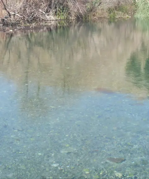
The best time to visit Raghez Canyon is from late Ordibehesht (mid-May) to early Mehr (late September). At this time, the canyon's full-flowing springs offer a pleasant coolness during the hot days of these months. There are two routes to reach the Raghez spring area: one is a hike of about four hours, and the other involves about two hours by car followed by about two hours of hiking. From the start of the valley, which is a suitable place to park your car, to the last waterfall there is a walk of about three kilometres through the clear waters of the valley. In some places it is essential to use special rock-climbing equipment and to set up anchor stations. Because the climb involves crossing numerous pools and waterfalls, climbing up the waterfalls or moving beneath them adds to the beauty and appeal of the trip. The water in the pools is so clear that you can easily see to the bottom, even where some pools are as deep as 20 metres. Between the spring area and Raghez's southern valley, dozens of beautiful waterfalls and pools and the unspoiled nature can be traversed only with technical equipment. From the spring area, it is possible to visit several pools and waterfalls without technical equipment, and the hike finally ends at a tall waterfall 23 metres high.
Please note that, because the water is cold, you must bring a wetsuit. For descending the waterfalls, bring suitable footwear for Raghez Canyon; it is best to wear hiking sandals that are closed at the front and back, because the stones in the pools and on the rocks may injure your feet. If you cannot swim, are afraid of heights, or are unfamiliar with the basics of rock climbing, we recommend leaving Raghez Canyon out of your travel plans. These skills are essential for travelling to this canyon.
Written by ستایش عرب Last updated
Activities
What you can do here, and what it takes
-
Walking
پیملیش این مسیر برای افرادی با سطح آمادگی جسمانی متوسط به بالا مناسب است.
-
Canyoning
کلاه ایمنی، طناب، هشتی، کارابین و از ابزارهای کوهنوردی، هارنس را فراموش نکنید و حتما این وسایل را بههمراه داشته باشید.
Specifications
Introduction of the location and specifications of Raghez Canyon
Location:
Fars, Darab
Coordinates:
28.83551520, 54.30173457
Open in maps
Height above mean sea:
1618 meter
Faunas:
Presence of Predatory Animals, Presence of Allergenic Insects, Presence of Herbivorous Animals
Transports:
Private car, Walking, Only with technical climbing equipment, Minibus, Bus
Related Tourist Attractions
Attractions that are in the Waterfalls category

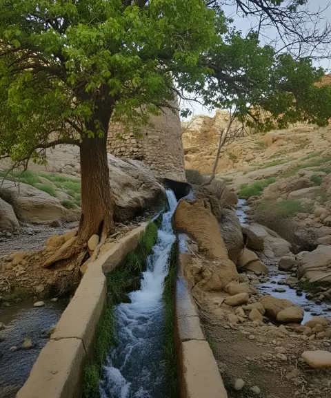

Tang-e Katuyeh Village
Province Fars
- Walking
- Mountaineering
- Rock Climbing
A lush green village with gushing springs
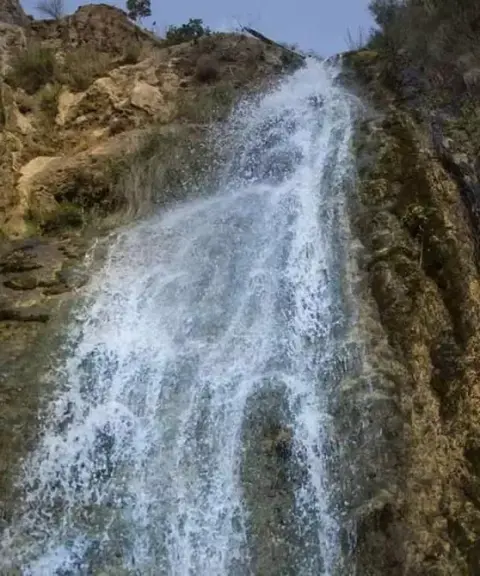
Tarm Waterfall
Province Fars
- Walking
- Swimming
The largest seasonal waterfall in the Middle East, set in the nature of Fars
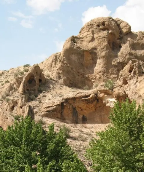

Tang-e Lay-e Tarik
Province Fars
- Walking
- Rock Climbing
- Canyoning
A pristine valley southwest of Estahban
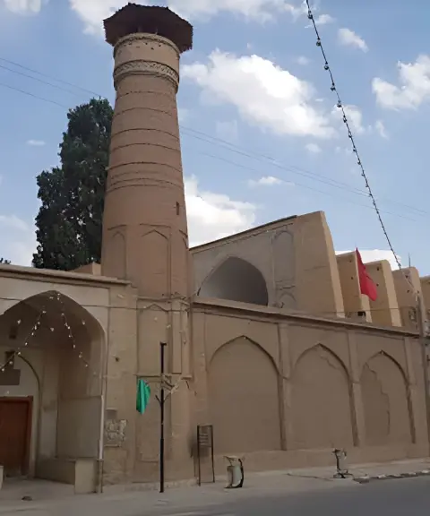
Neyriz Grand Jame Mosque
Province Fars
- Walking
A relic of ancient Iranian architecture in Fars Province
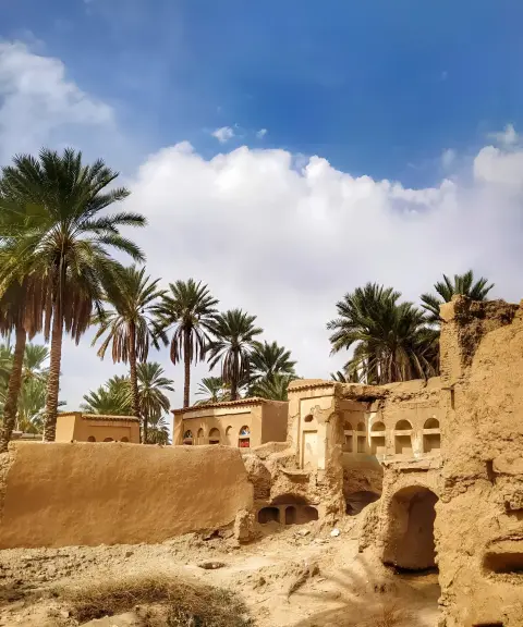
Khorangan Village
Province Fars
- Walking
A historic village with adobe architecture and ancient monuments in Fasa
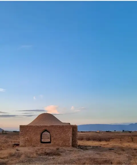
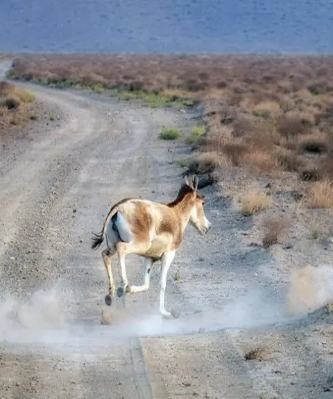

Qatruyeh Desert
Province Fars
- Walking
- Horse Riding
The largest desert in Fars Province, with pristine landscapes and a diverse ecosystem
Related tags:
Unfortunately, no comments have been registered.