
 Mountain
- Ability level Intermediate
- Routes 1 recorded route
Ability level:
Intermediate
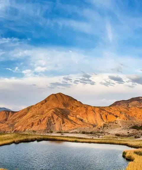
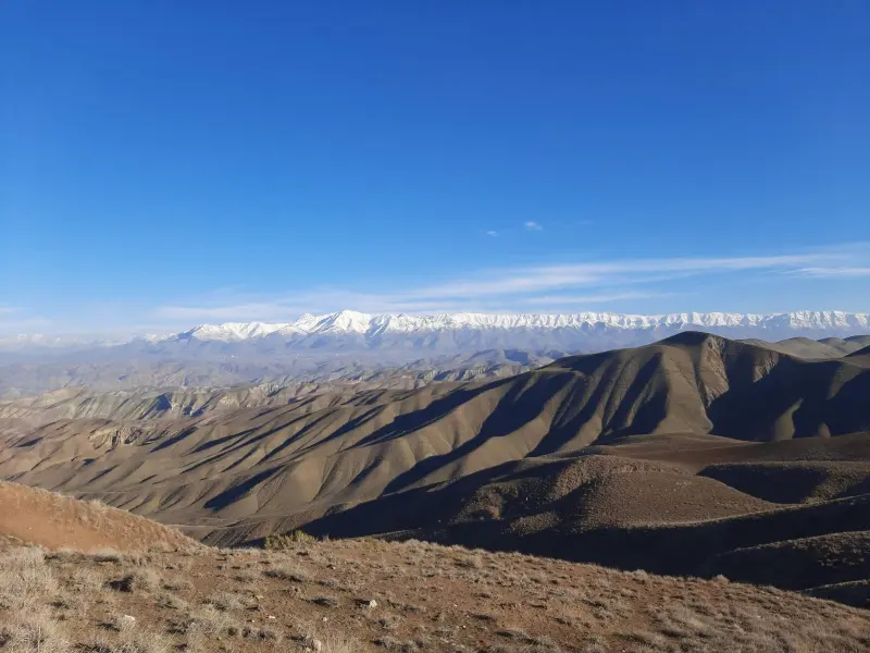
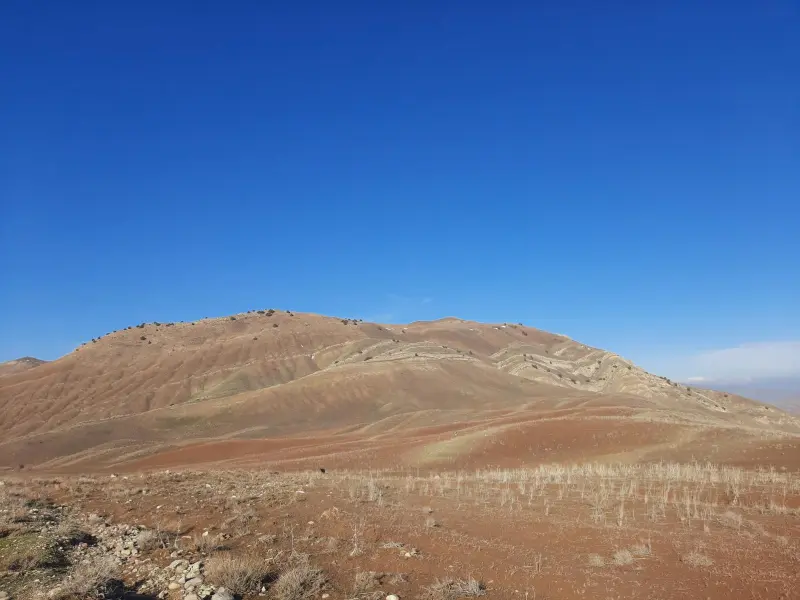
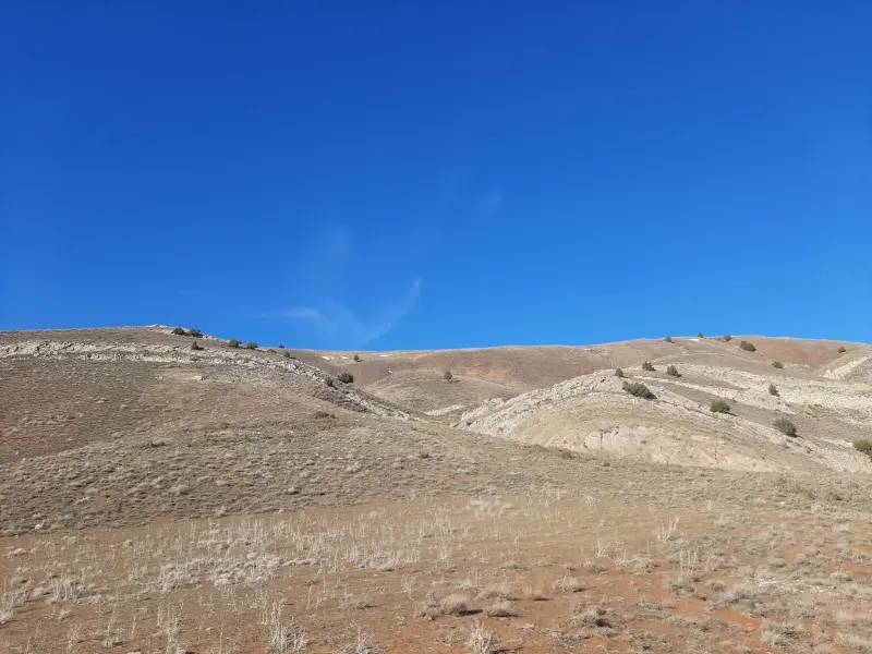
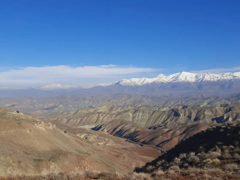
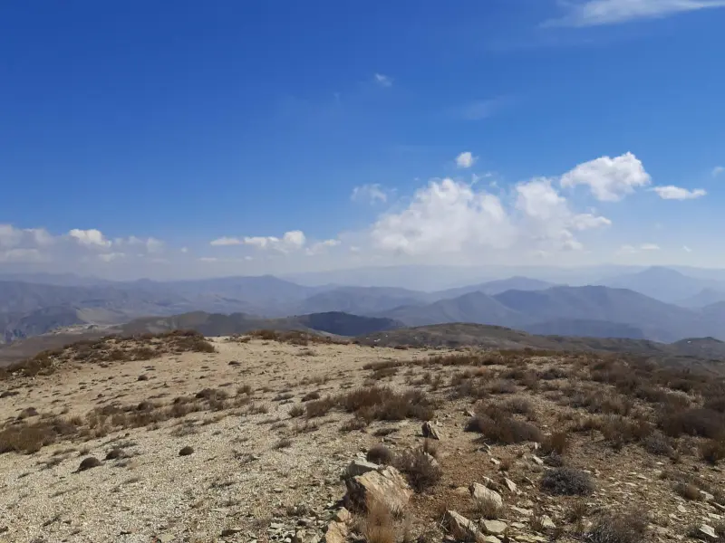
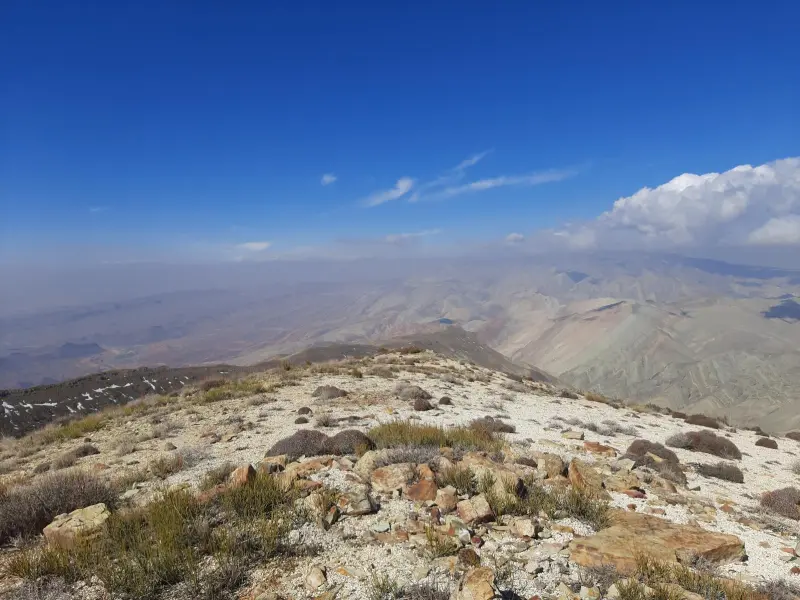
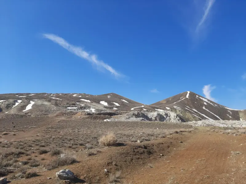
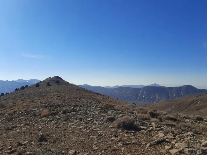
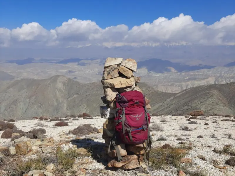
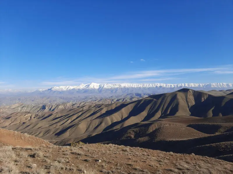
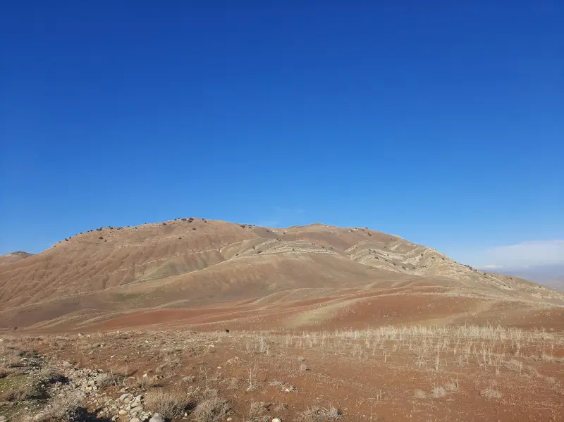
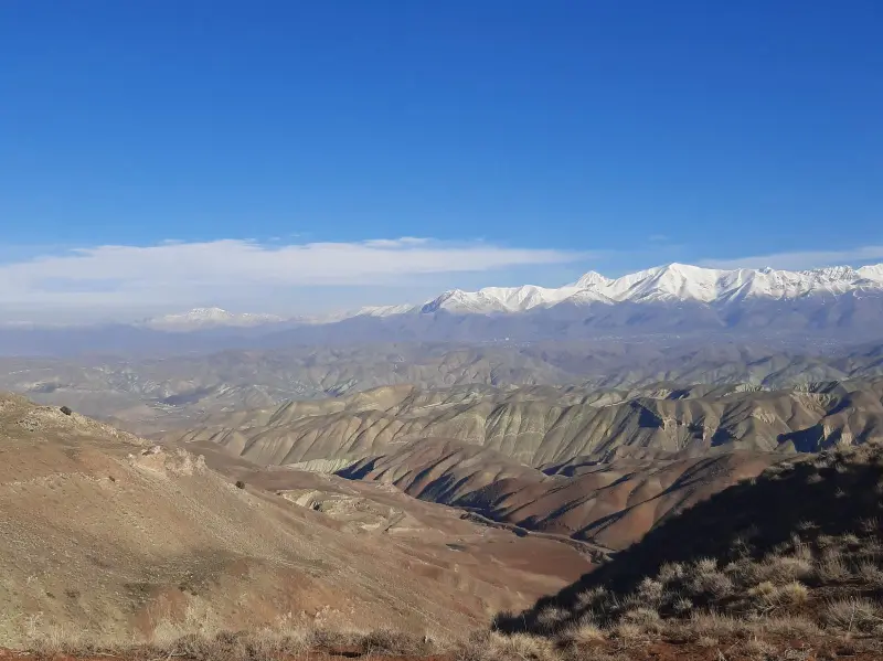
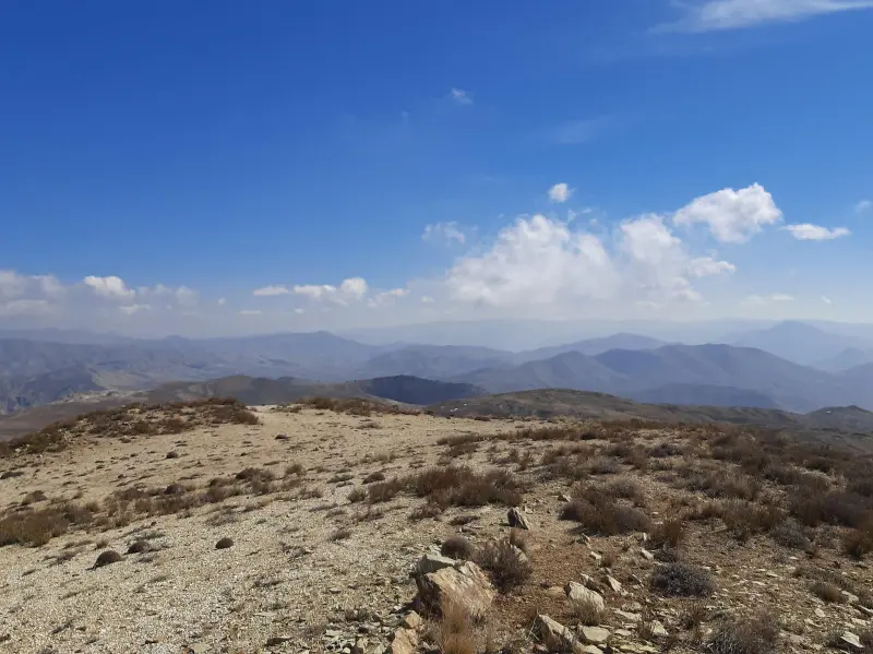
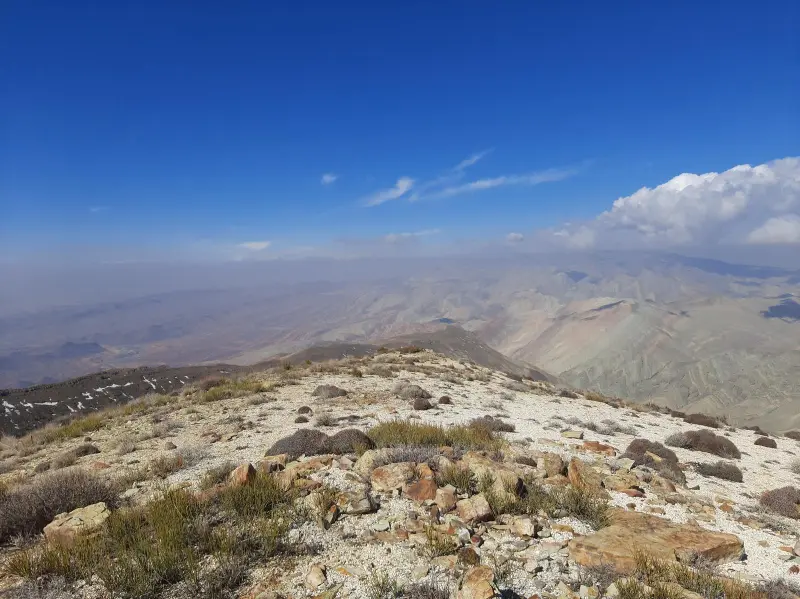
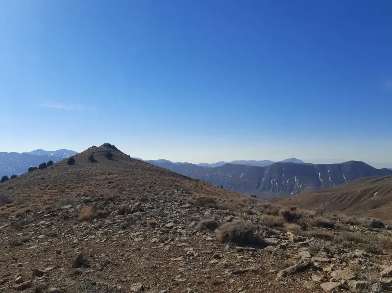
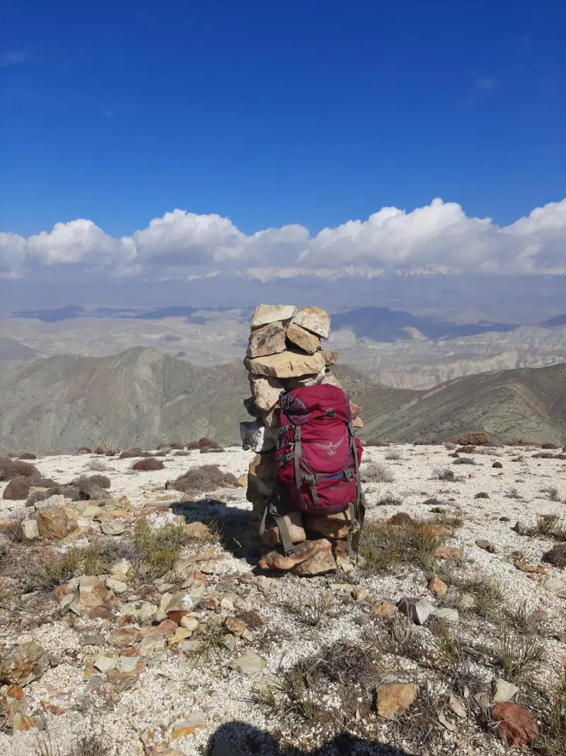
Asb-Chal Peak is one of the mountain summits in Tehran Province, in the Damavand County area. It lies within the Firuzkuh mountain range and is a well-known destination for local climbers and nature lovers in the region. The peak stands at about 2,490 meters above sea level and overlooks the villages of Garmabsard, Kabudmalek and Moghanak. From the summit you can enjoy a wide view of the region's peaks, including Damavand, Zarrin Kuh, Ashandar, Gatelat, Sefid Kuh, Ghuch, Haft Mil and Ghachelban, offering a unique experience of the mountain scenery of the Alborz.
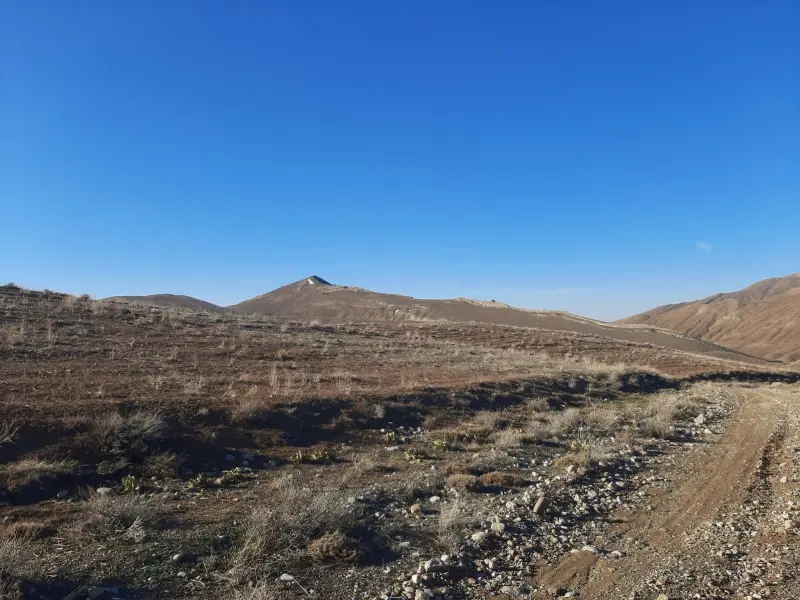
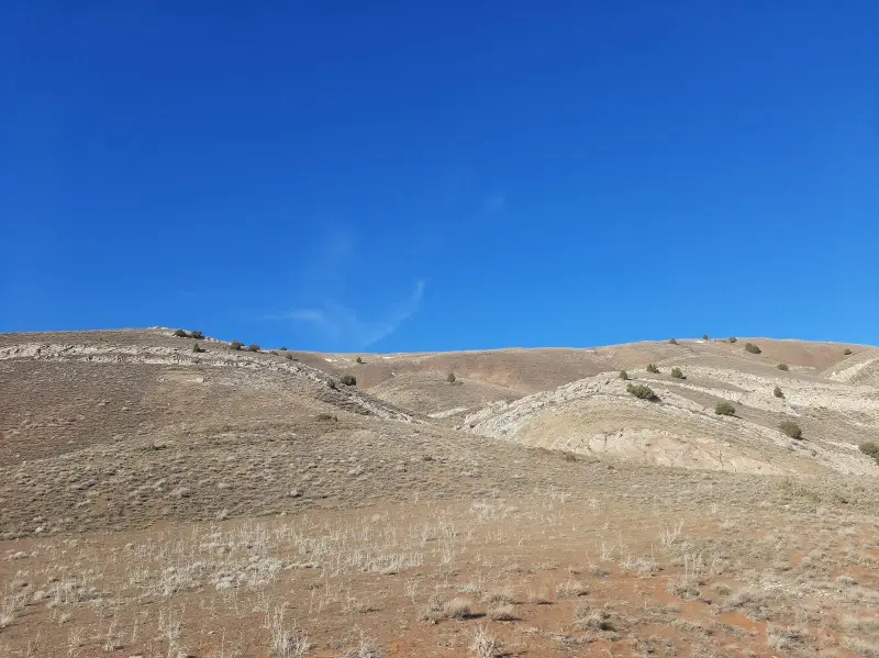
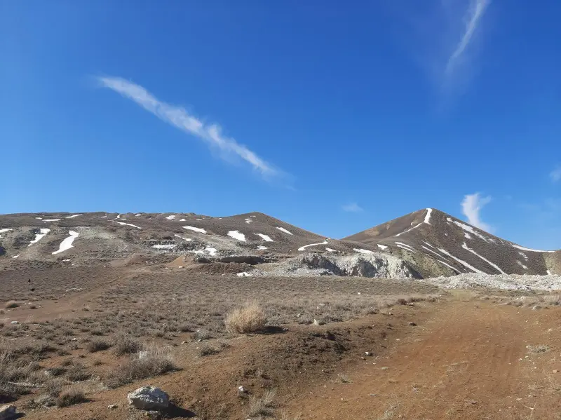
Asb-Chal Peak is considered part of the Firuzkuh mountains, and its routes consist of mountainous terrain with gentle to steep slopes. Because it lies within the Sefid Kuh Protected Area, the region is home to a variety of wildlife, such as wild goat, gazelle, porcupine, hare, wild boar, wolf, fox, chukar partridge and eagle. Its vegetation includes mountain pastures, grasses and shrubs adapted to the semi-arid climate of the highlands.
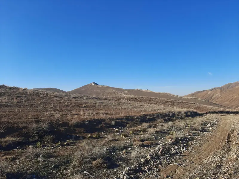
Hiking routes to Asb-Chal Peak usually start from the village of Kabudmalek or Garmabsard. Both routes take several hours of effort, running from the main road and dirt tracks toward the mountain ridges, and they require basic mountaineering equipment. The best time to climb the peak is from spring to early autumn, when the weather is more favorable and the routes are safer. During your climb, follow safety principles and responsible nature-tourism practices, including carrying enough water, wearing footwear and clothing suited to the altitude, and avoiding damage to the region's vegetation and wildlife habitat.
Written by ستایش عرب Last updated
Activities
What you can do here, and what it takes
-
Mountaineering
مسیرهای پاکوب از روستای کبودملک یا گرمابسرد تا قله مناسب کوهنوردی نیمهحرفهای و پیمایش چندساعته است.
-
Walking
بخشهای پایینی مسیر و مراتع اطراف برای پیادهروی کوهستانی و تماشای مناظر مناسب هستند.
Specifications
Introduction of the location and specifications of Asb-Chal Peak
Location:
Tehran, Damavand
Coordinates:
35.47954352, 52.25887299
Open in maps
Height above mean sea:
2490 meter
Floras:
Semi-arid mountainous
Faunas:
Presence of Predatory Animals, Presence of Herbivorous Animals
Transports:
Private car, Walking, Only with technical climbing equipment
Tourist Attractions in Damavand
Attractions that are nearby


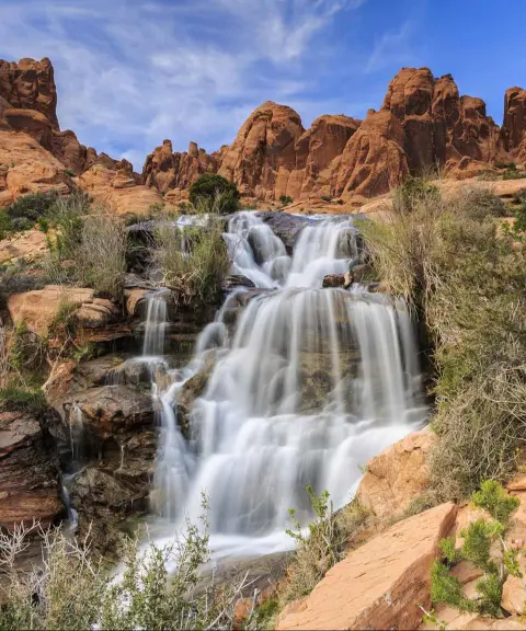

Varjeh Waterfall
Province Tehran
- Walking
A natural attraction in the heart of the Damavand mountains
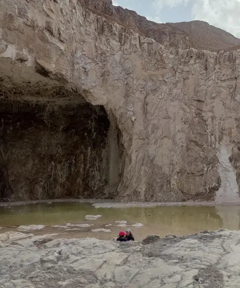

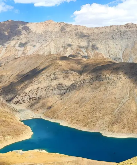
Tar Lake
Province Tehran
- Fishing
- Walking
- Mountaineering
- Rowing
- Swimming
A lake in the heart of the Alborz peaks
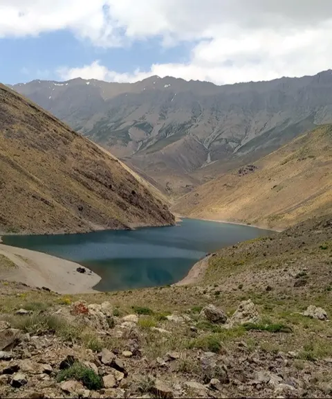
Jangalak Waterfall
Province Tehran
- Walking
Unfortunately, no comments have been registered.