
 Mountain
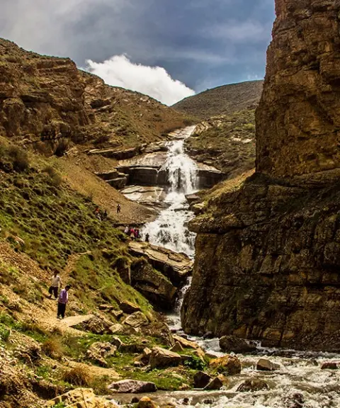

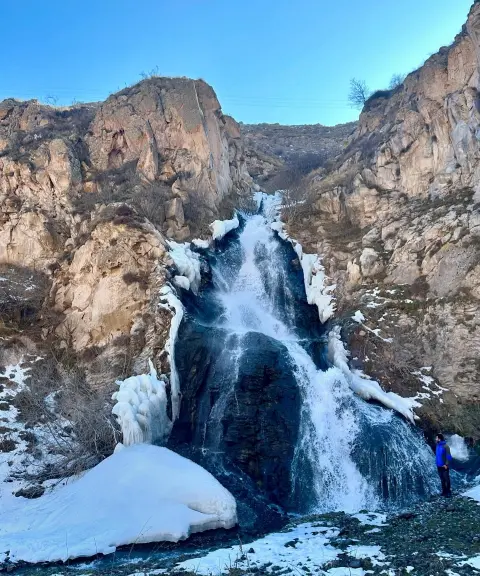
Daryuk Waterfall (Kohreh)
Province Mazandaran
- Walking
A lesser-known gem of the Central Alborz range
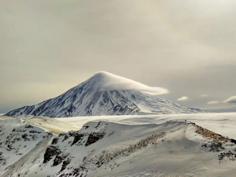
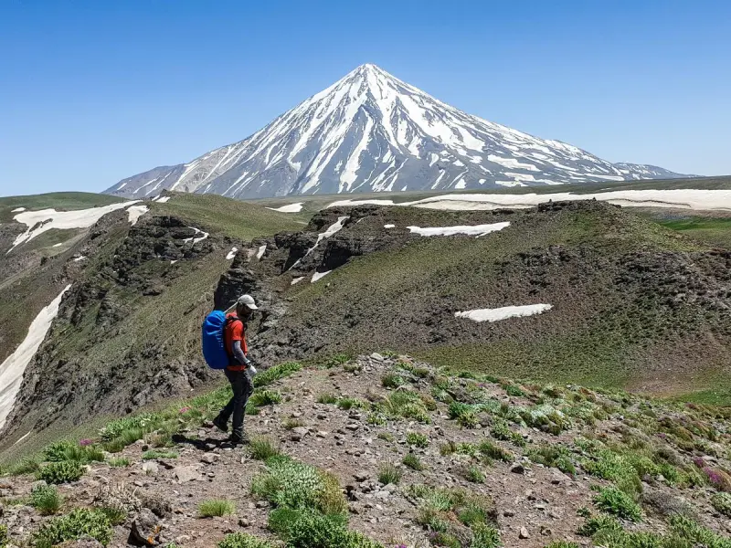
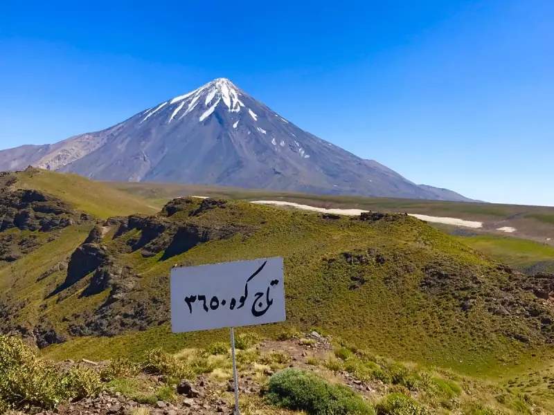
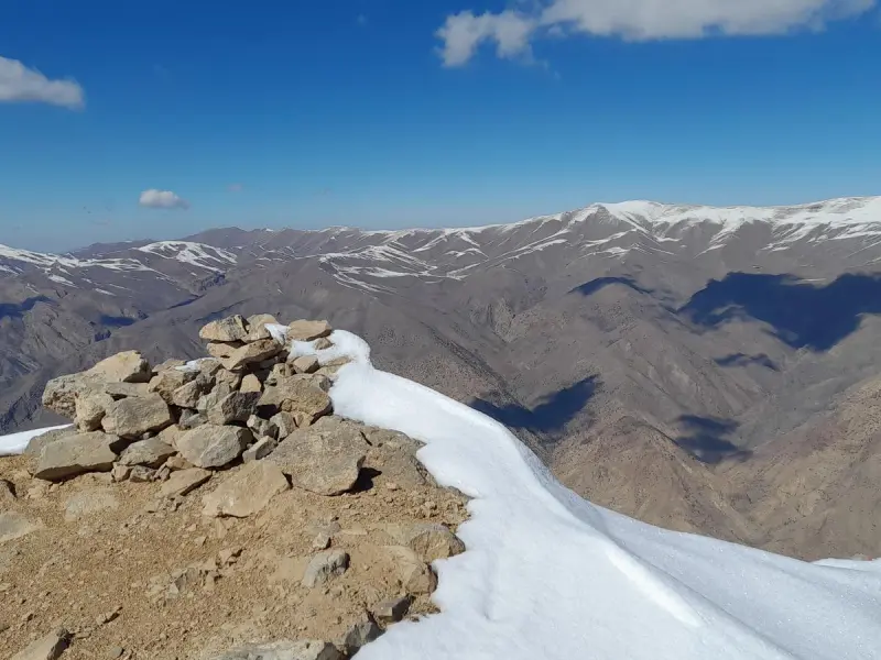
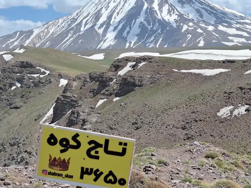
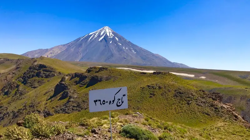
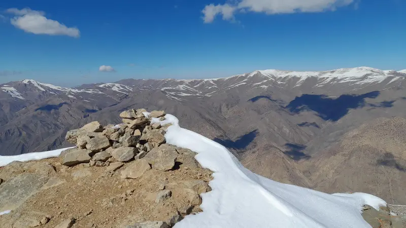
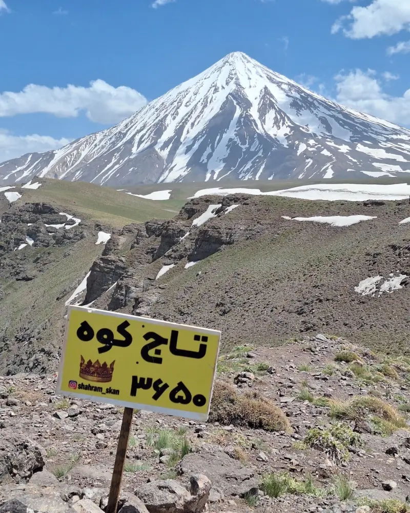
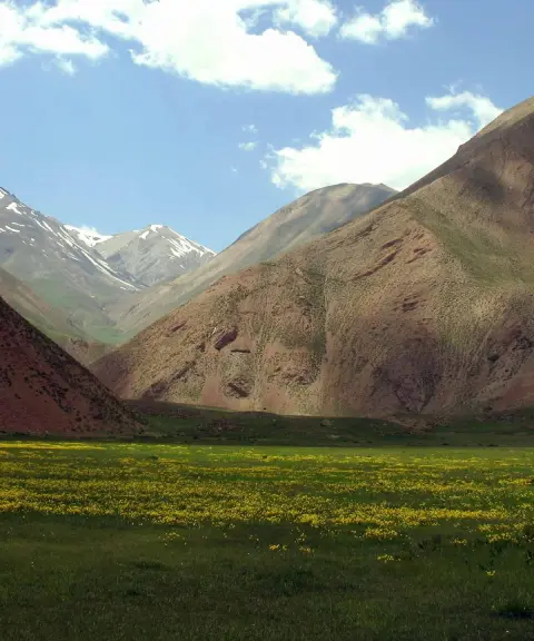
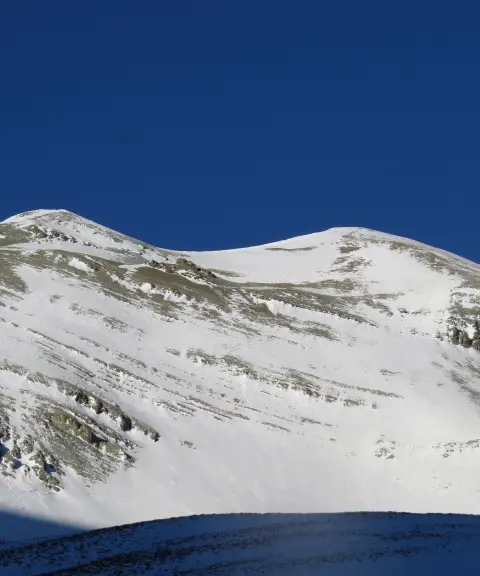
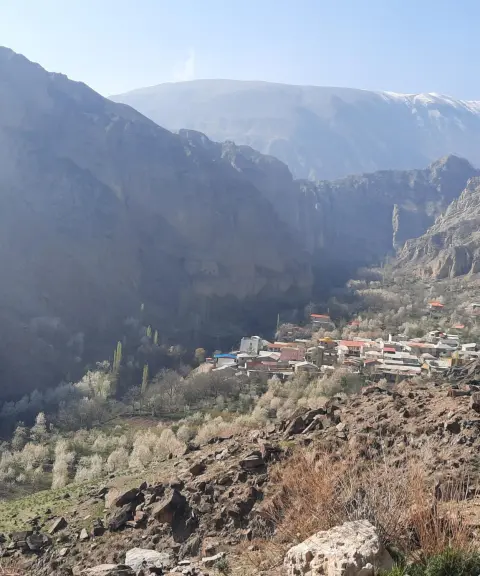
Taj Kuh Peak is one of the prominent summits of the Central Alborz range, in Amol County, Mazandaran Province. It lies in the mountainous Namarestaq region. At an approximate elevation of 3,650 meters above sea level, the peak stands out on the northern slopes of the Alborz and marks the natural boundary between Namarestaq and Delarestaq. The Namarestaq region lies along the Haraz Road and, with its sweeping mountain views and broad meadows, is a popular destination for climbers and nature lovers in northern Iran.
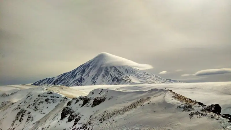
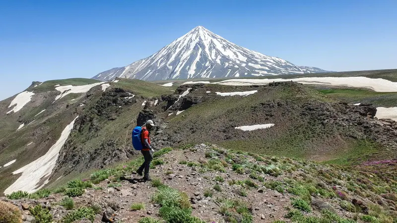
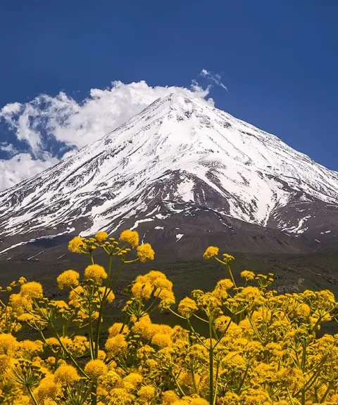
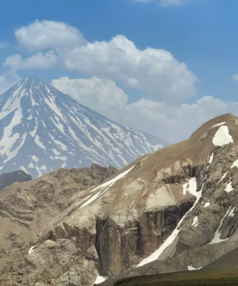
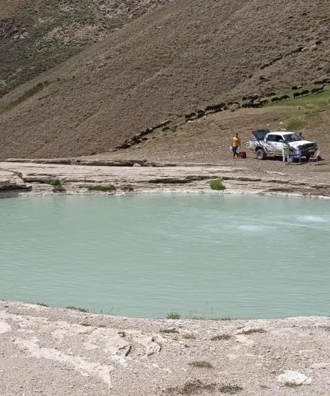
Taj Kuh Peak can be reached by several climbing routes. The best known is the ascent from Namar village and the Daryuk Plain toward the east ridge. With its considerable gradients and sections without a clear trail, this route is a moderate to hard challenge, so it is best suited to semi-professional and professional climbers with experience. Besides the mountain scenery, Daryuk Waterfall is one of the natural sights along the route, a good place to stop and take photos, and it is at its fullest in spring and early summer. From the summit you can enjoy a wide view of the northern face of Damavand and the surrounding Alborz massifs, a unique experience for nature enthusiasts.
To reach Taj Kuh Peak, you usually start from Namar village in Amol County. From there, local access roads lead to the parking area at the end of the village, and the route then continues on foot across the Daryuk Plain and up the east ridge toward the summit. The best time to climb and visit this area is from spring to early summer (Ordibehesht to Khordad), when the meadows are at their greenest and the weather is more favorable for climbing. During your trip, it is important to follow the principles of responsible nature tourism, including keeping the trail clean, not leaving any litter and respecting the mountain environment, so that these sensitive ecosystems are preserved.
Written by ستایش عرب Last updated
What you can do here, and what it takes
مسیر صعود از روستای نمار و دشت دریوک تا قله مناسب کوهنوردان با تجربه و مناظری دیدنی ارائه میدهد.
بخشهای ابتدای مسیر تا دشت دریوک برای پیادهروی کوهستانی سبک و لذتبردن از مناظر طبیعی مناسب است.
Province Mazandaran
Province Mazandaran
Province Mazandaran
Province Mazandaran


Unfortunately, no comments have been registered.