
 Mountain
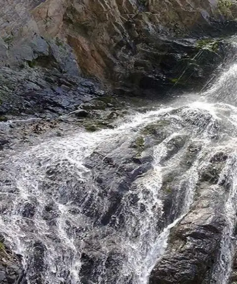

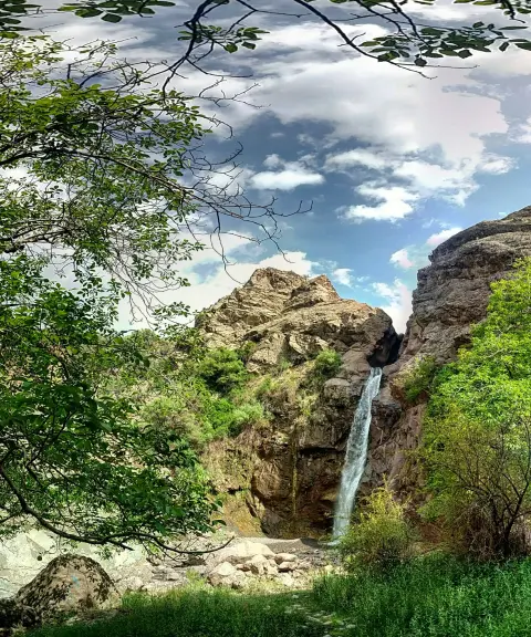
Kuh-e Shah Waterfall
Province Kerman
- Walking
- Swimming
- Mountaineering
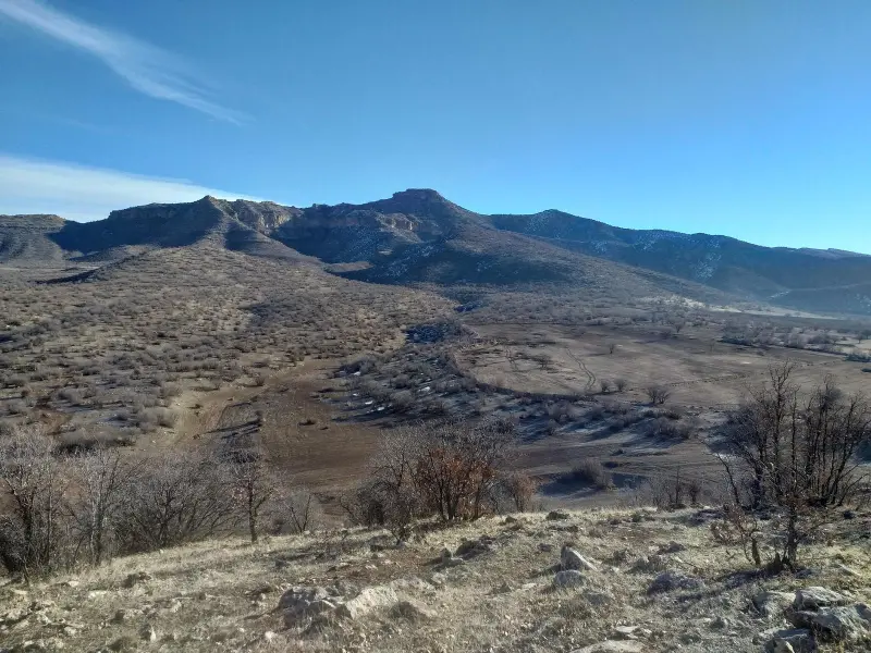
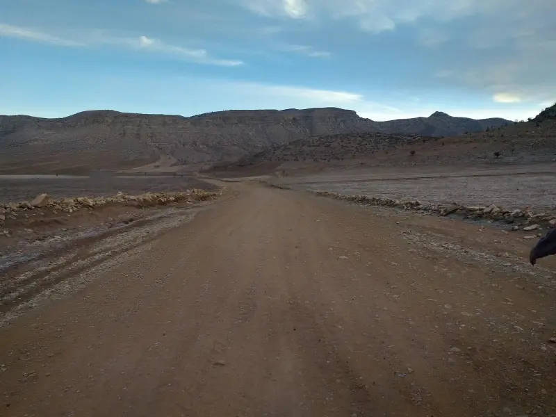
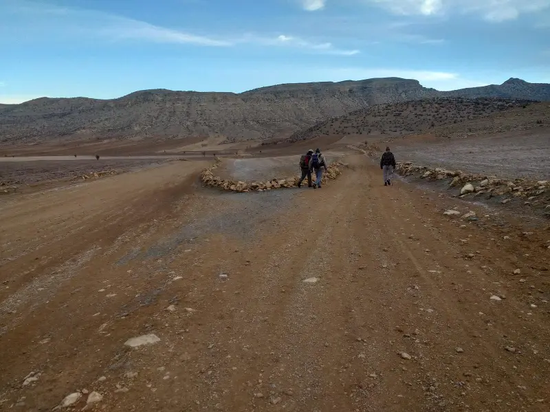
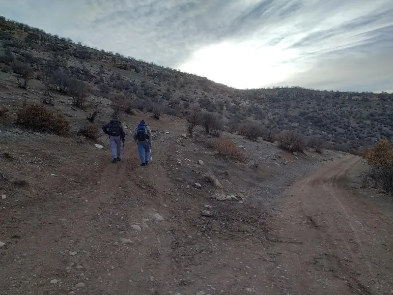
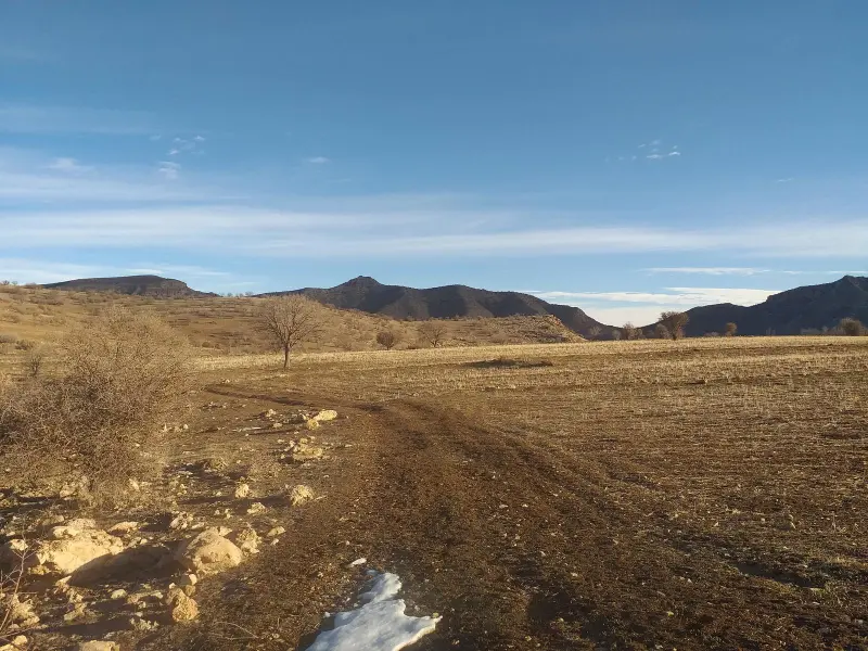
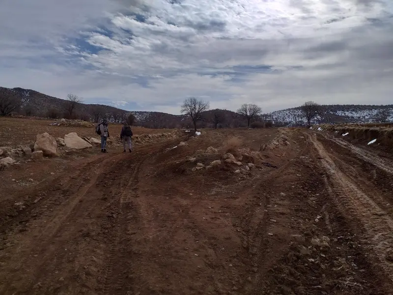
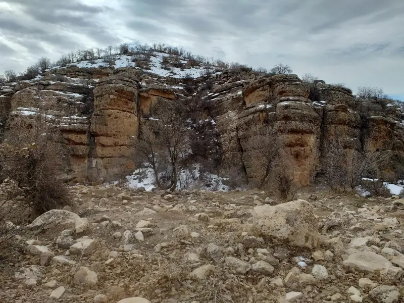
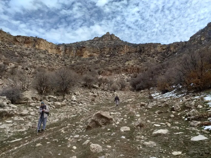
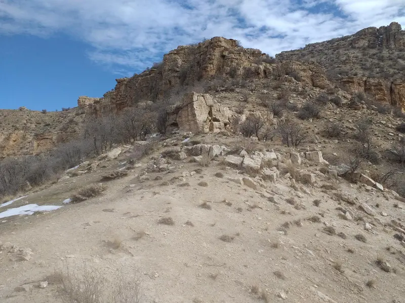
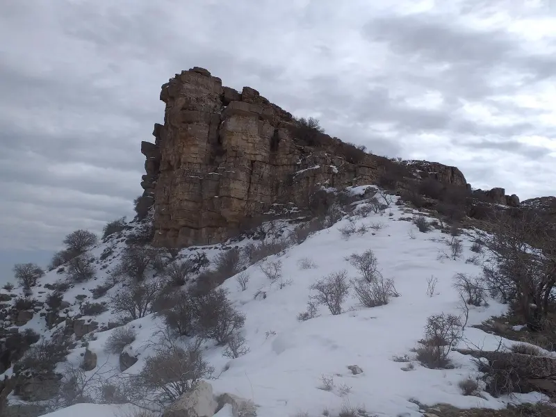
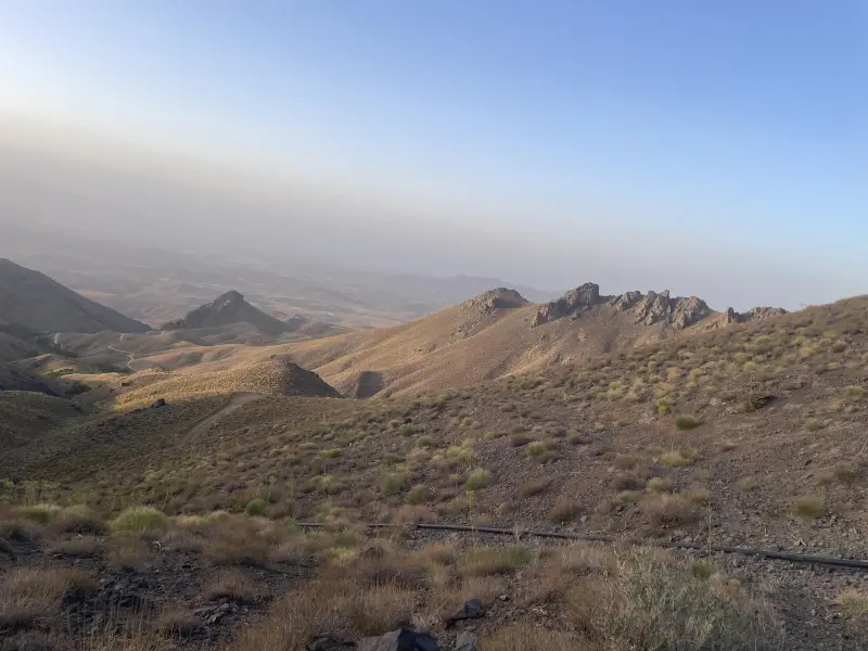
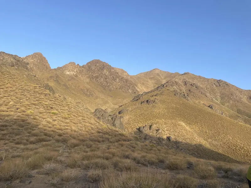
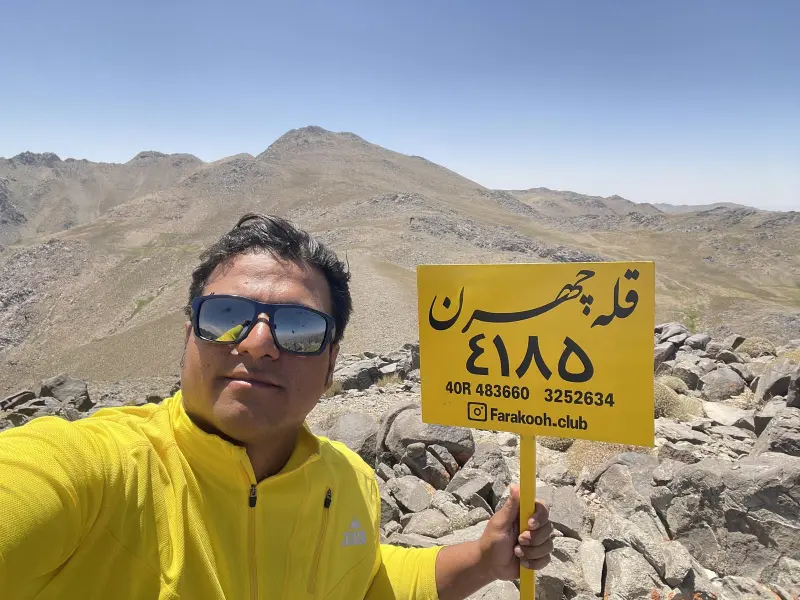
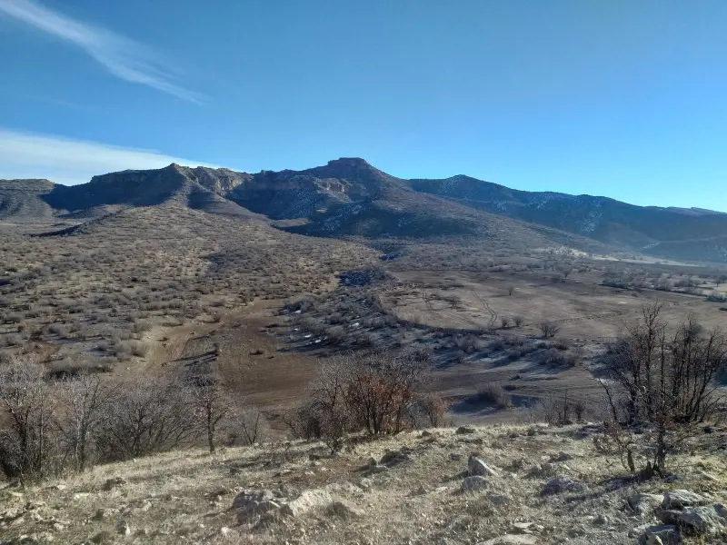
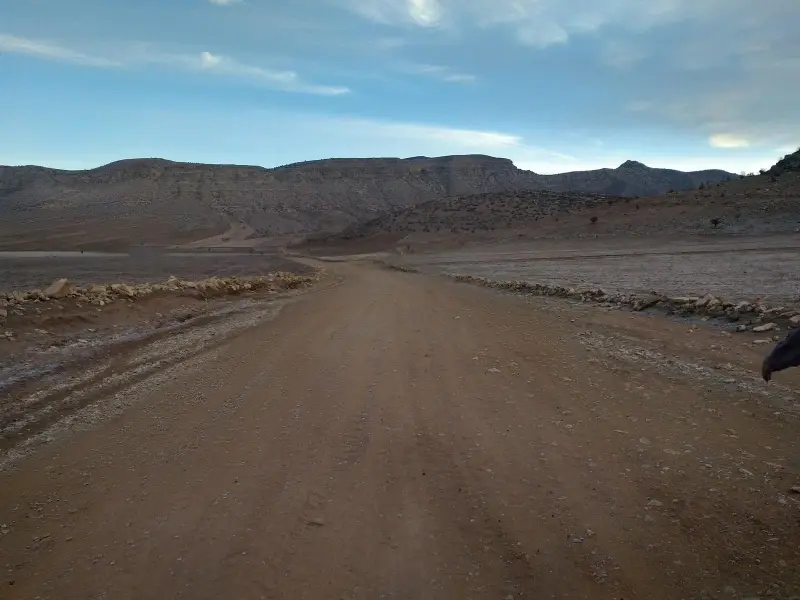
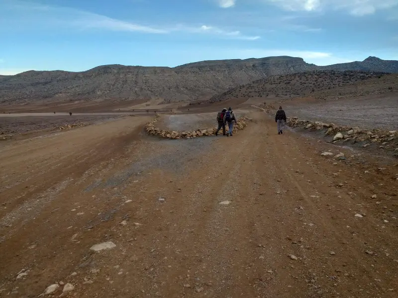
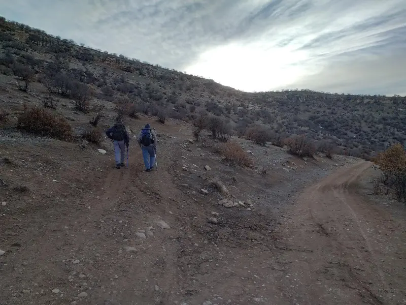
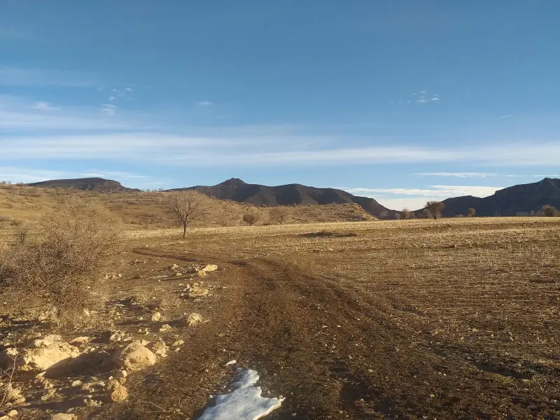
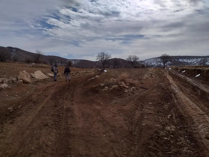
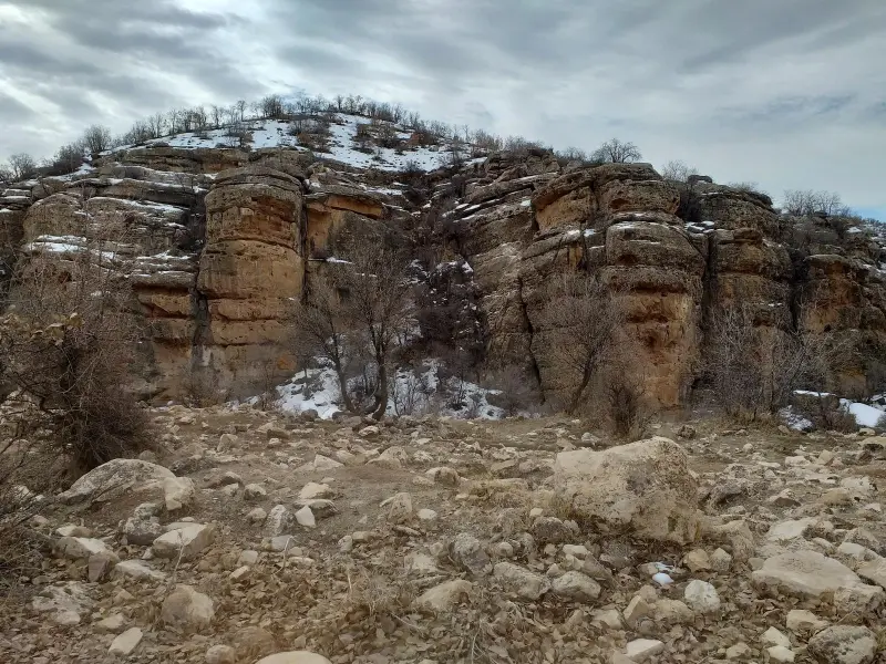
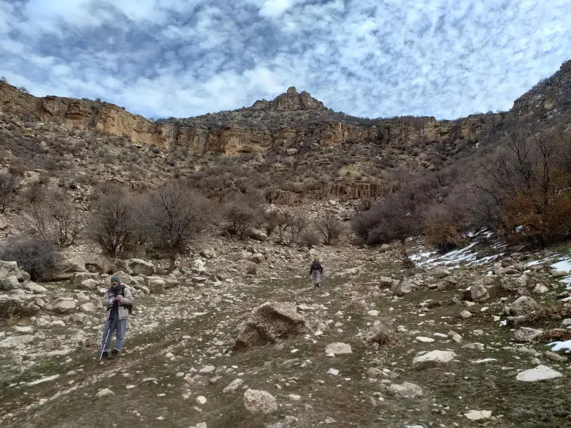
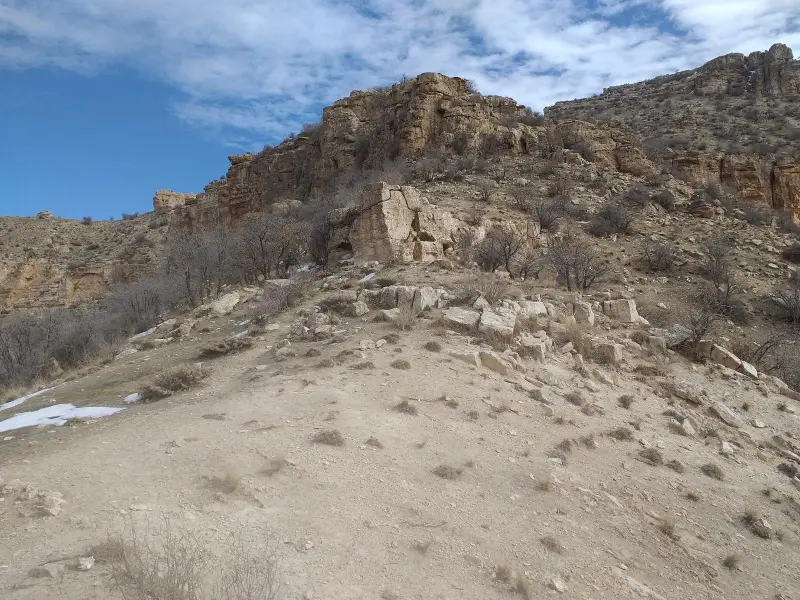
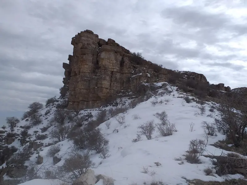
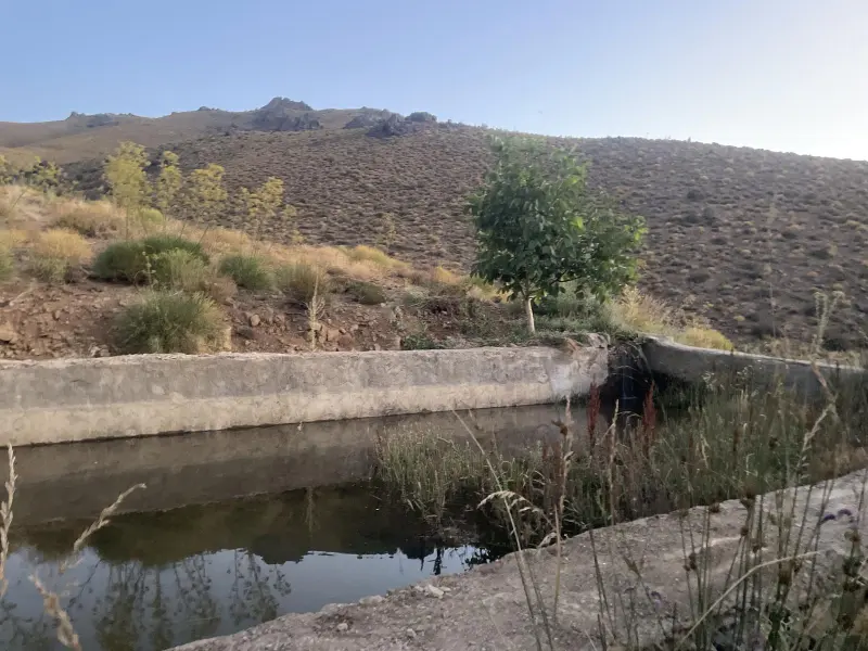
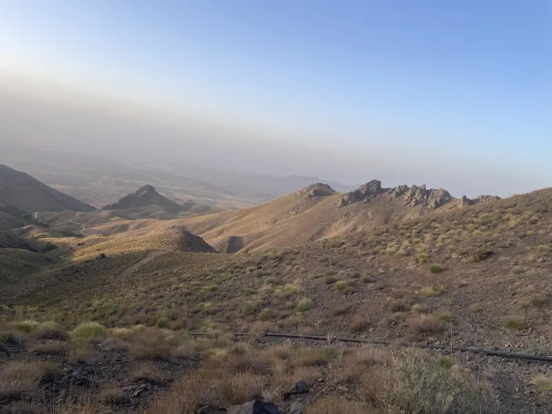
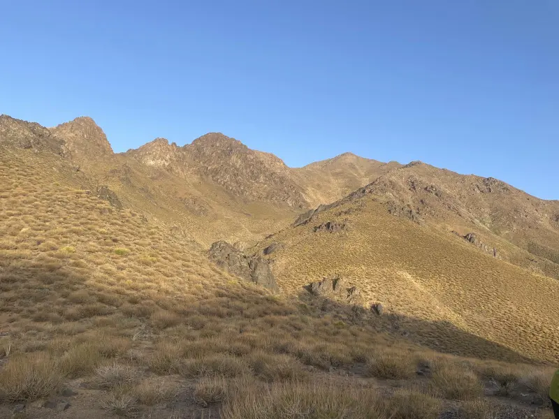
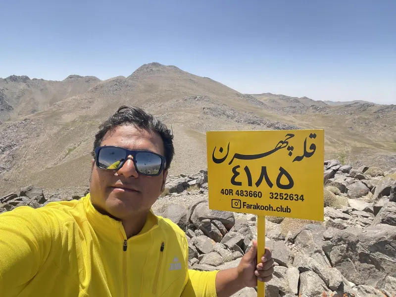
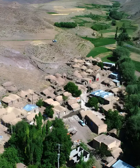
Chahran Peak, in Rabor County of Kerman Province, is one of the tallest and most spectacular summits in southern Iran, with an elevation of about 4,170 metres above sea level. It lies along the Lalezar mountain range, close to Hezar Peak, and with its pristine nature and little-travelled routes it is an attractive destination for nature lovers and mountaineers. The access route usually begins from Chahran village or the surrounding foothill areas, and offers views of deep valleys, high-altitude meadows and towering cliffs.
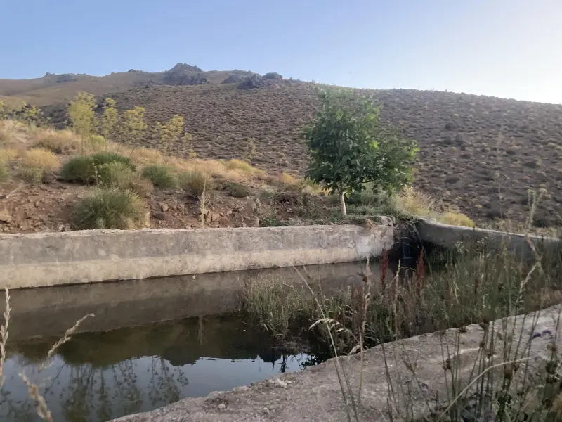
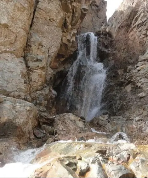
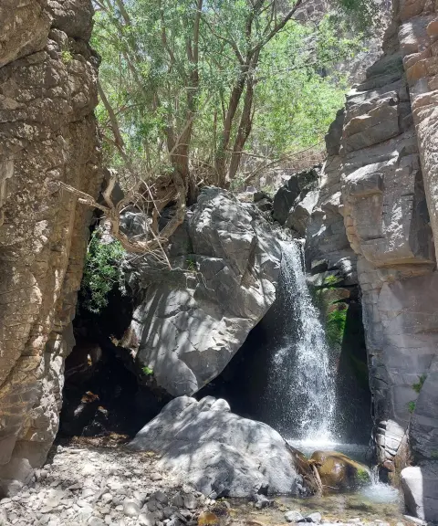
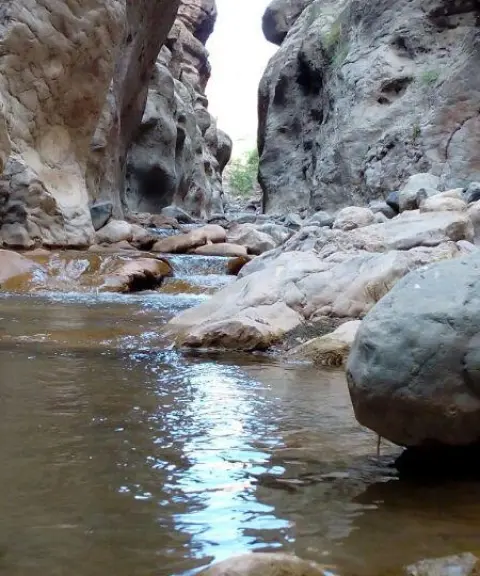
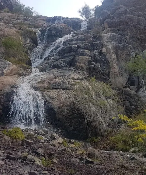
According to the available data, the climbing route to Chahran Peak is about 12.07 kilometres long, with an elevation gain of about 1,405 metres. The highest point of the route is 4,170 metres and the starting point is at a minimum elevation of about 2,930 metres. The route includes sections of trail across the lower slopes, rocky inclines and ridges leading to the summit, and it is suitable for climbers of intermediate to advanced fitness. Along the way there are springs, small waterfalls and natural meadows, which make the climb even more enjoyable.
To reach Chahran Peak, climbers usually travel from Chahran village along a dirt road to a parking area at an elevation of about 3,021 metres, and then continue on the footpath to the lower slopes and the summit ridge. The best time to climb is from spring to early autumn, when the routes are clearer of snow and the weather is more favourable for mountain hiking. It is essential to observe mountaineering safety principles and practise responsible nature tourism, including carrying standard equipment, a map or GPS of the route, keeping the area clean and respecting the local ecosystem throughout the trip.
Written by ستایش عرب Last updated
What you can do here, and what it takes
مسیر پاکوب روستای چهرن تا قله چهرن مناسب کوهنوردان متوسط تا حرفهای است.
دامنههای میانی مسیر برای پیادهروی تفریحی و طبیعتگردی مناسب است.
Province Kerman
Province Kerman
Province Kerman
Province Kerman
Province Kerman


Unfortunately, no comments have been registered.