
 Mountain
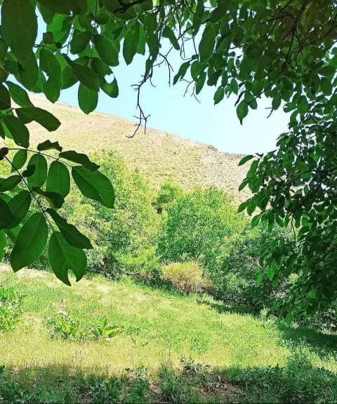

Zaygan Village
Province Tehran
- Walking
A mountain summit above Fasham with unrivalled views
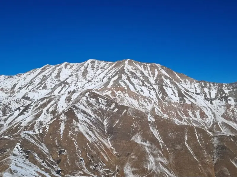
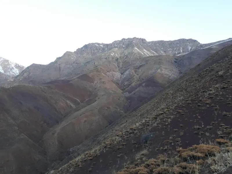
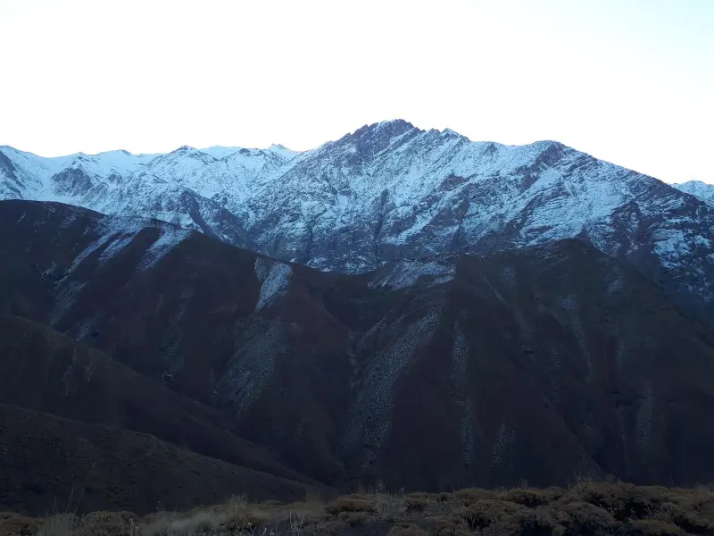
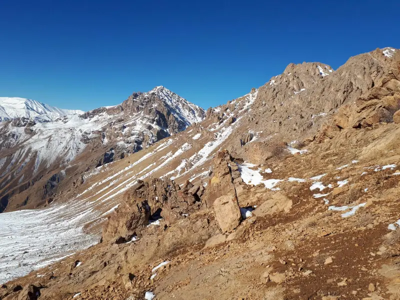
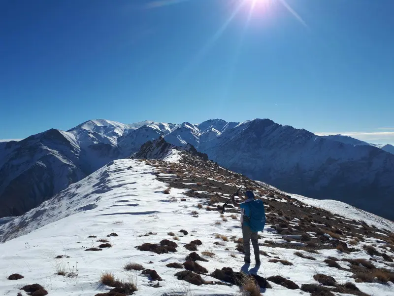
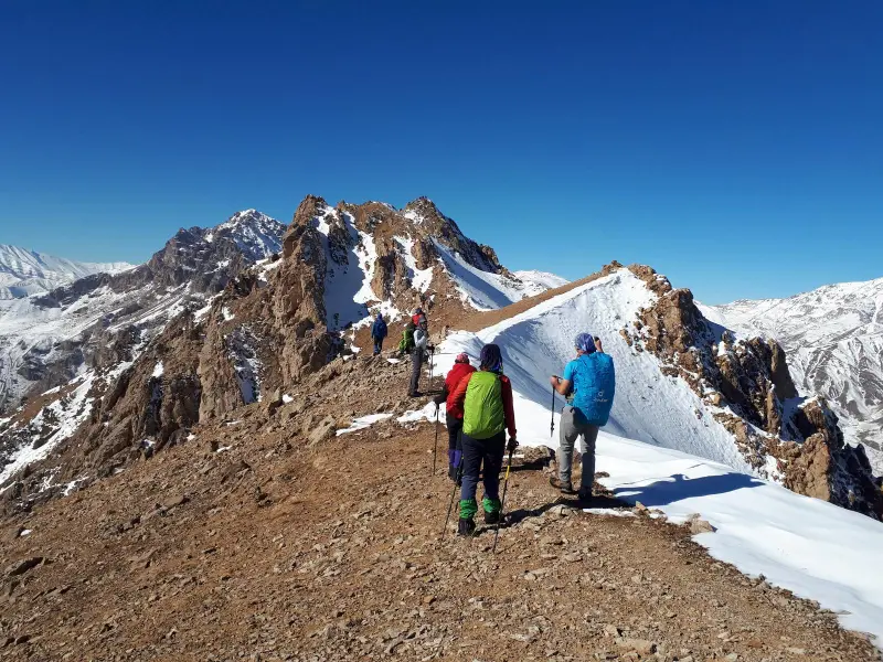
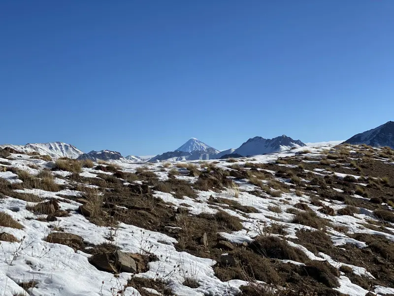
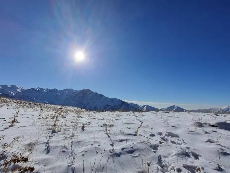
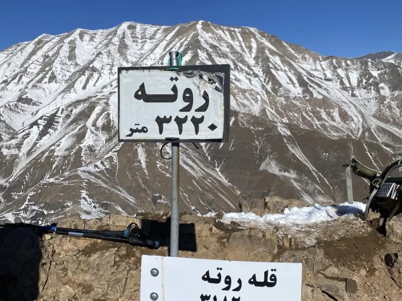
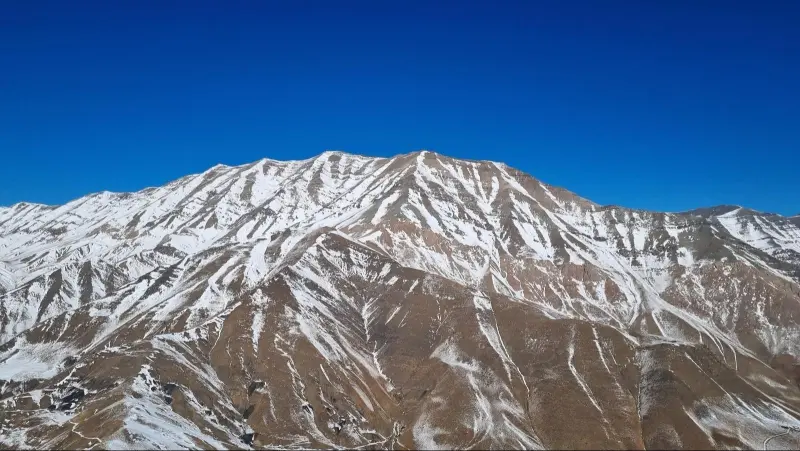
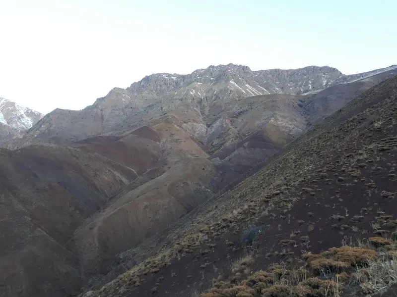
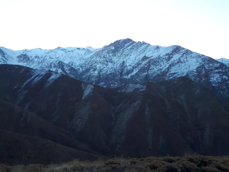
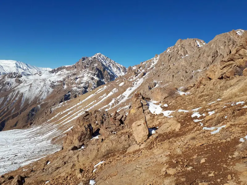
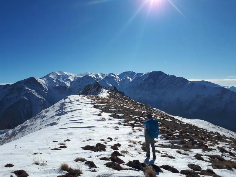
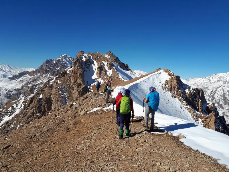
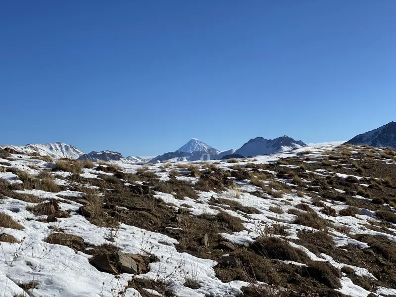
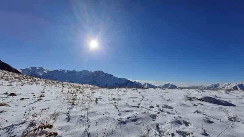
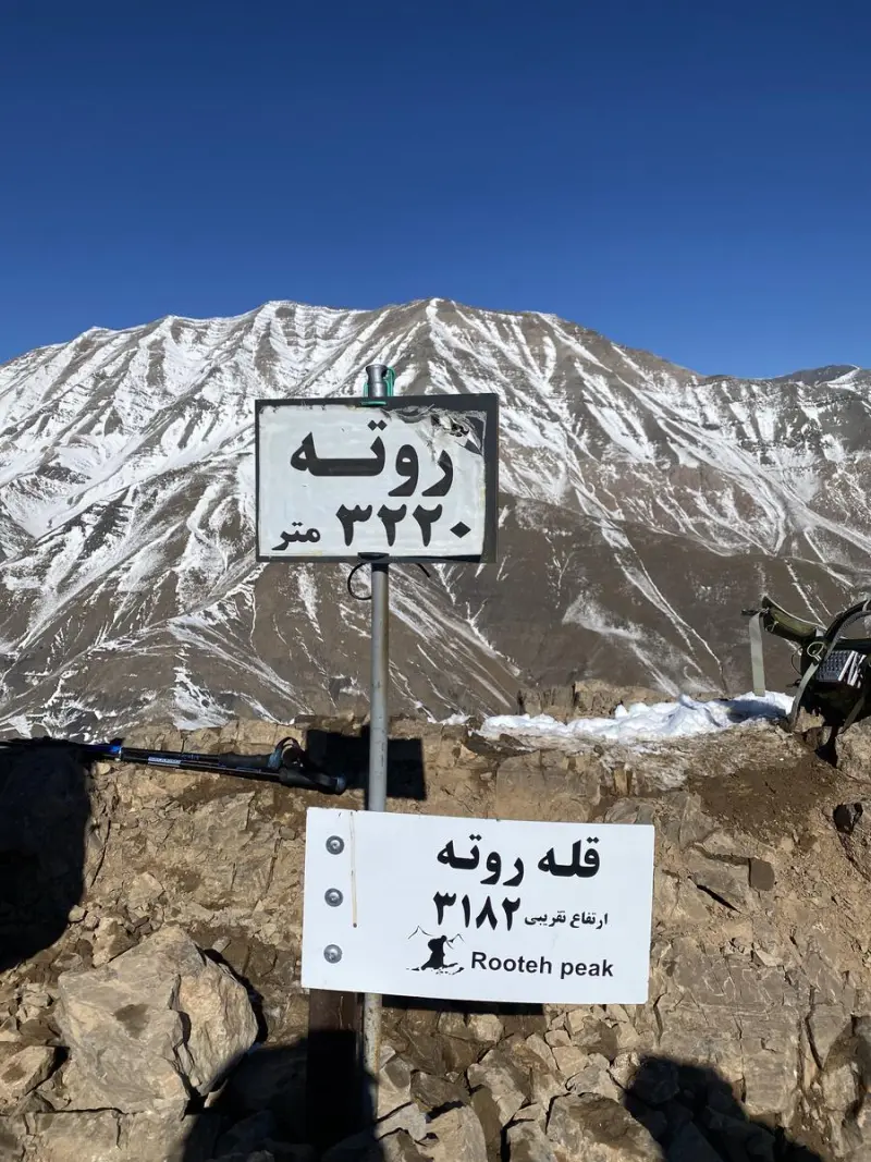
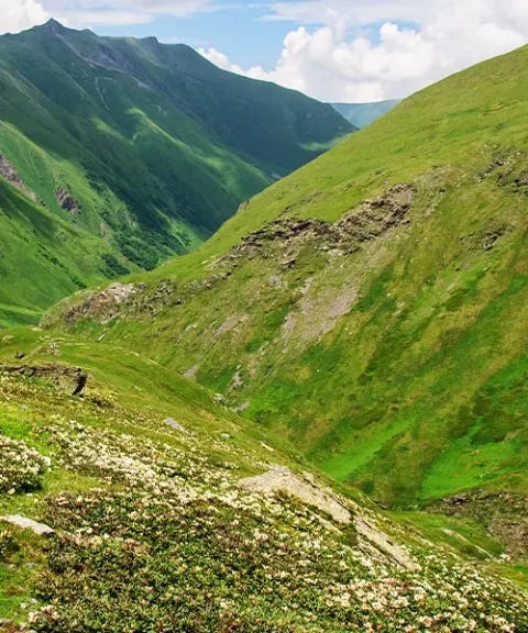
Rooteh Peak is one of the high, well-known summits of Tehran Province, in the Roudbar-e Ghasran and Fasham area. Its height is estimated at about 3,200–3,240 metres above sea level. The peak is part of the Central Alborz range and lies next to Rooteh village. The natural scenery around the summit includes green valleys, rock walls and ridges covered with mountain shrubs. In spring and summer, the view of the mountains and the plains below is especially striking.
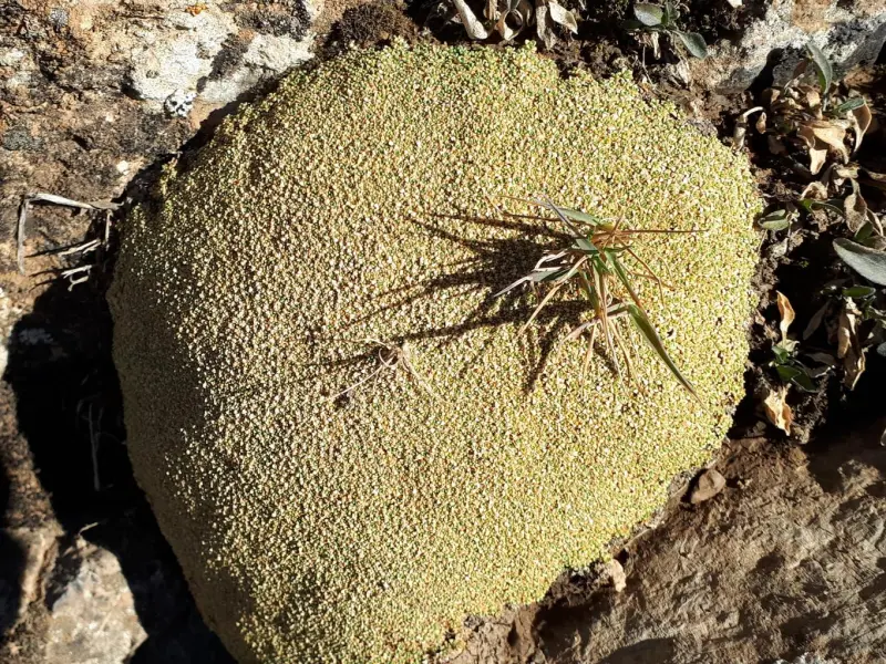
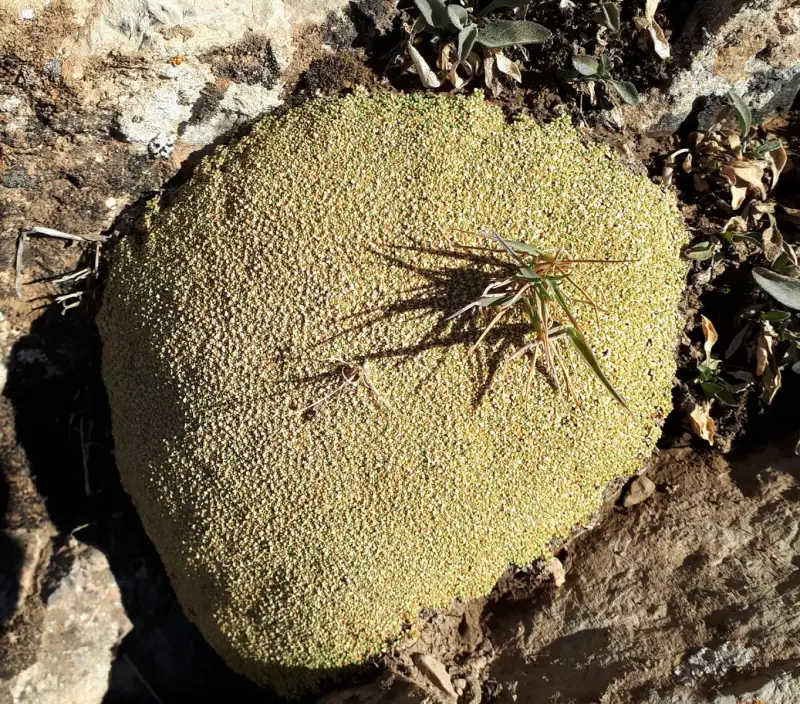
The climbing routes to Rooteh Peak mostly begin in Rooteh village and follow rocky footpaths with gentle to steep slopes. There are also other, secondary routes from the Fasham–Absard route and the surrounding valleys, which climbers choose according to their ability. Along the way you will see vegetation such as astragalus (gooneh), taghagh, mountain astragalus meadows, thyme and other rangeland plants that withstand cold and wind. The area is home to many kinds of birds and small mountain animals, so besides the scenery, the climb is a chance to get to know the mountain ecosystem of the Alborz.
To reach Rooteh Peak, first travel from Tehran or Fasham to Rooteh village and start the climb from there. The routes are mostly footpaths, but basic mountaineering equipment is recommended: suitable shoes, a light backpack, drinking water, warm clothing and a headlamp. The best time to climb is from early spring to late autumn, when the weather is favourable, there is no frost, and the scenery is at its most beautiful. Responsible nature travel means not damaging the vegetation, not lighting fires and taking your rubbish with you, so that this area is preserved for future climbers.
Written by ستایش عرب Last updated
What you can do here, and what it takes
مسیرهای پاکوب از روستای روته تا قله مناسب کوهنوردی با تجهیزات ایمنی است.
Province Tehran
Province Tehran
Province Tehran


Unfortunately, no comments have been registered.