
 Mountain
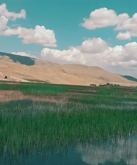

Gandoman Wetland
Province Chaharmahal and Bakhtiari
- Walking
- Horse Riding
- Fishing
- Cycling
- Mountaineering
A Green Summit in the Zagros of Chaharmahal and Bakhtiari
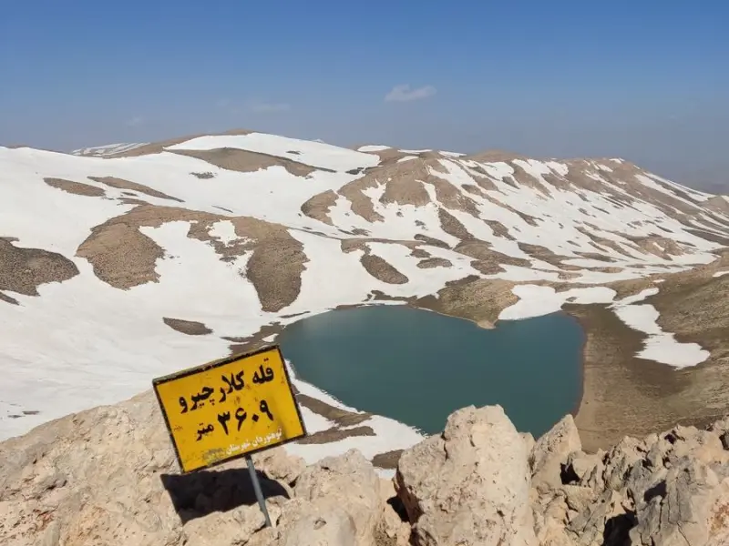
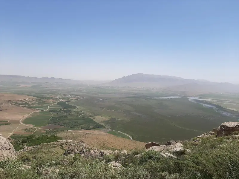
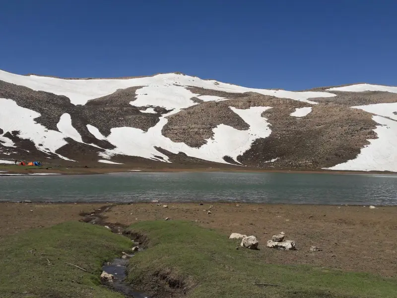
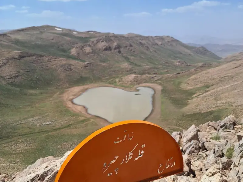
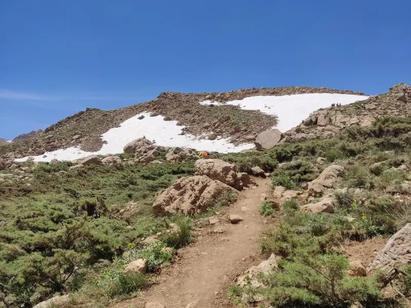
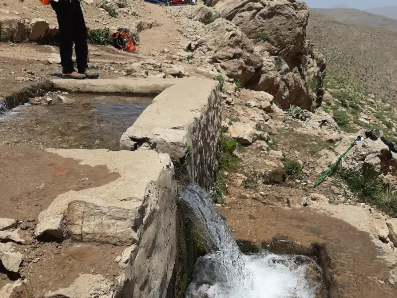
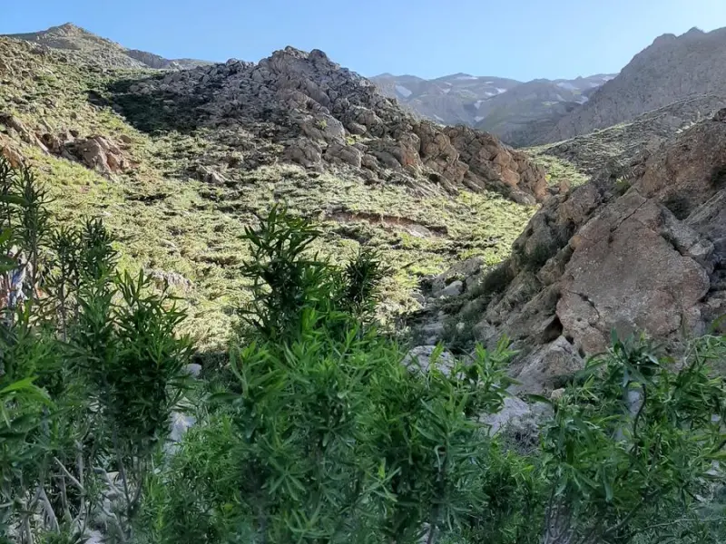
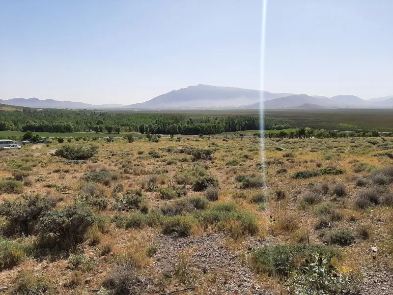
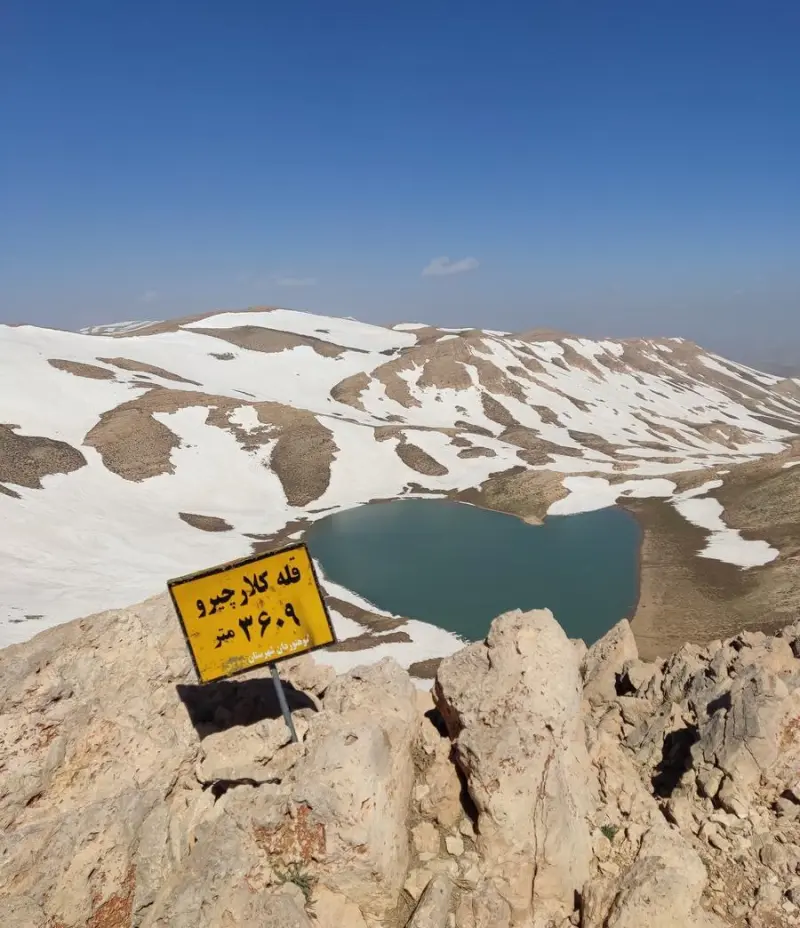
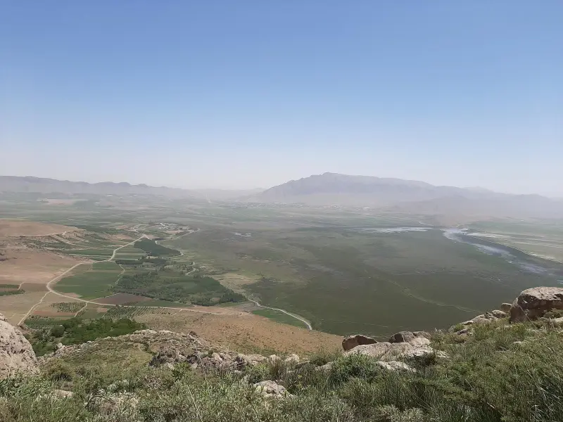
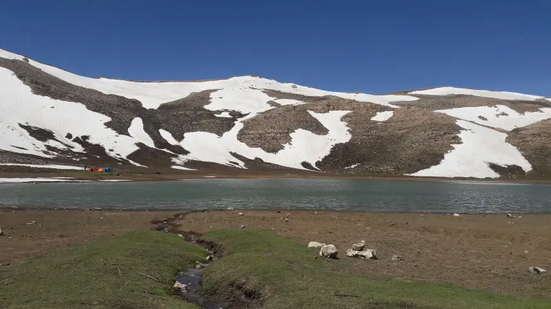
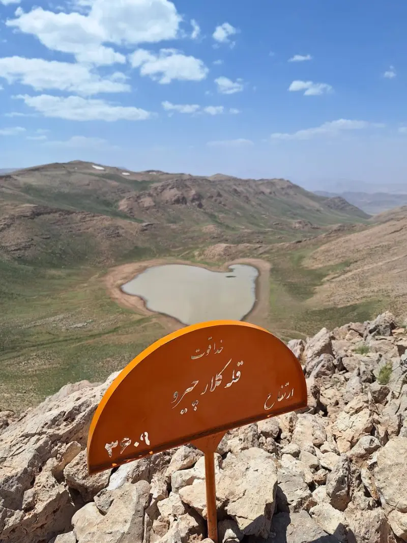
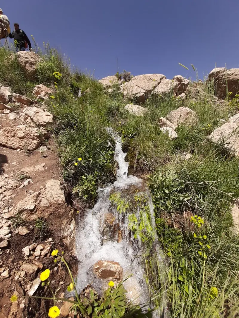
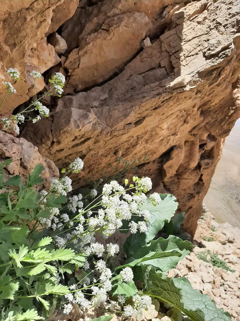
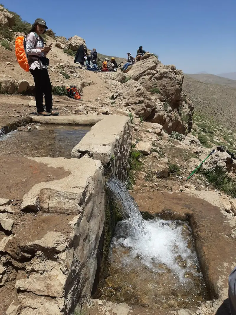
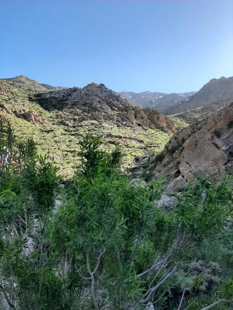
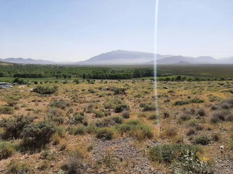
Kolar Peak (also known as Kolar Chiro) is one of the notable summits of the Zagros Mountains in Chaharmahal and Bakhtiari Province. It lies in Gandoman County and is reported to be about 3,609 meters high. The peak stands near the Choghakhor and Gandoman wetlands. Thanks to its considerable height, its wide natural views and the varied environment on the Zagros slopes, it is a popular destination for mountaineers and nature lovers.
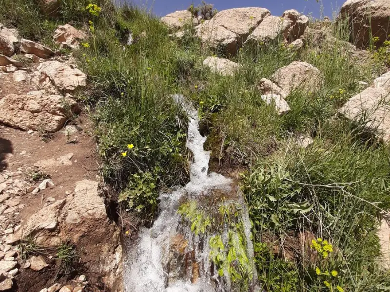
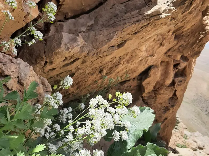
The vegetation on the lower slopes of the peak consists of rangeland shrubs, bushes and hardy Zagros plants, which suit the region's dry and semi-arid climate. At higher elevations, because of the harsh weather, plant cover is very sparse and mostly made up of plants that tolerate cold and wind. This mountain environment is home to animal species such as mountain birds and small mammals, and offers visitors unique natural scenery.
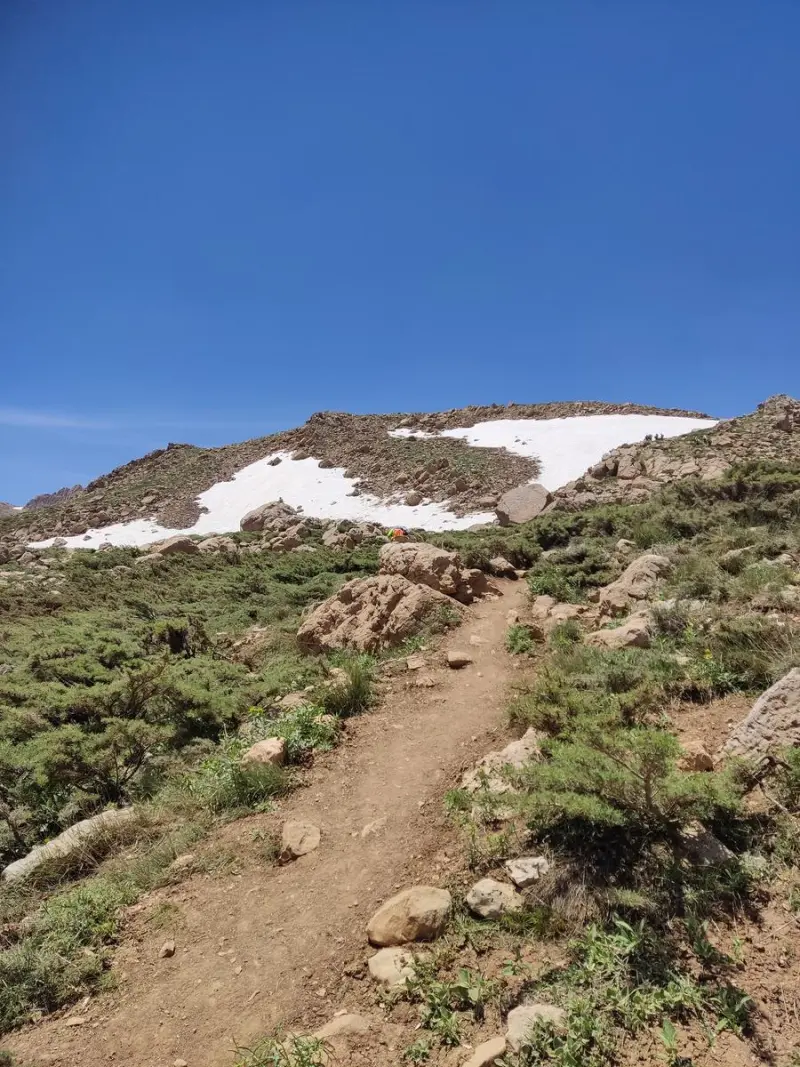
There are several routes to Kolar Peak. One is the climb from the northeast (the Tangeh Siah spring), and another starts from the southwest (the Keyghan spring). Both routes require a long trek and good physical fitness, and parts of them have no permanent water sources, so it is essential to carry enough water and equipment. The best time to climb is from spring to early autumn, because snow and freezing temperatures make conditions harder in winter and early spring.
Written by ستایش عرب Last updated
What you can do here, and what it takes
مسیرهای پاکوب از دامنههای گندمان تا قله مناسب پیمایش یک روزه و کوهنوردی تفریحی با تجهیزات مناسب است.
Province Chaharmahal and Bakhtiari
Province Chaharmahal and Bakhtiari
Province Chaharmahal and Bakhtiari
Province Chaharmahal and Bakhtiari
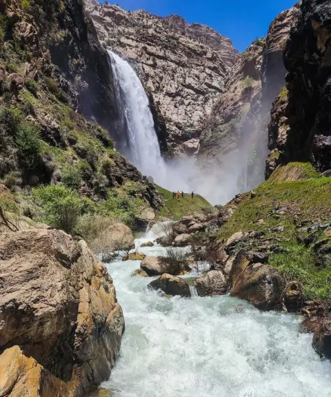
Province Chaharmahal and Bakhtiari
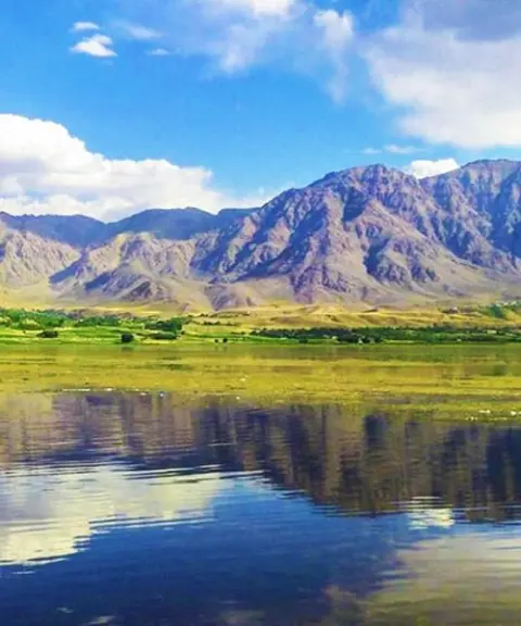
Province Chaharmahal and Bakhtiari
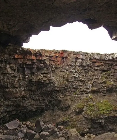
Province Chaharmahal and Bakhtiari
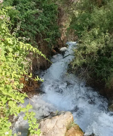
Province Chaharmahal and Bakhtiari


Unfortunately, no comments have been registered.