
 Mountain
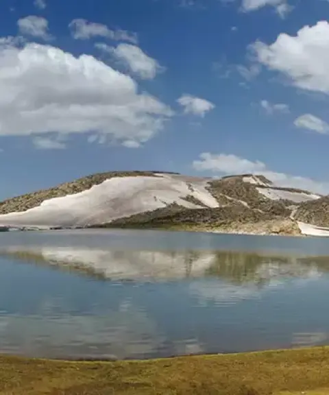

Barm-e Firuz Lake
Province Fars
- Walking
- Rowing
- Mountaineering
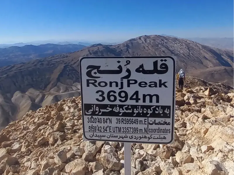
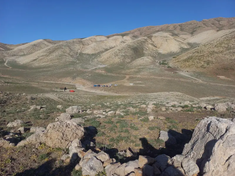
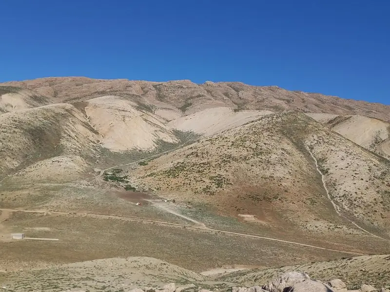
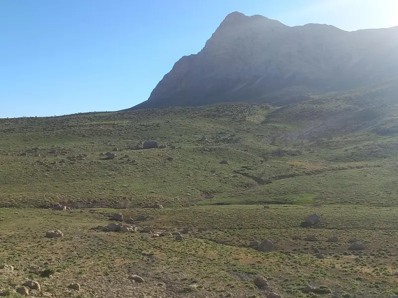
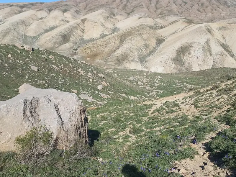
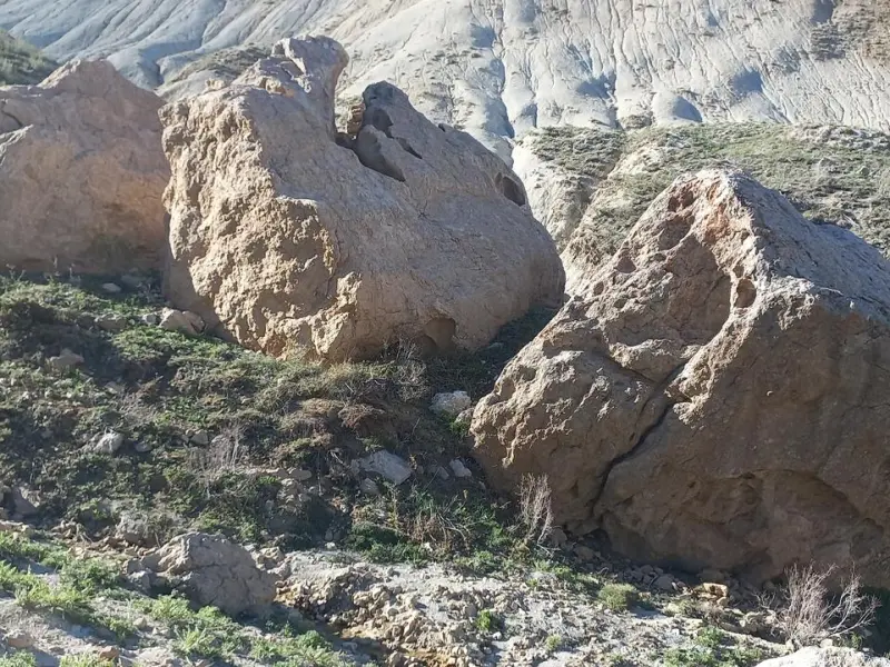
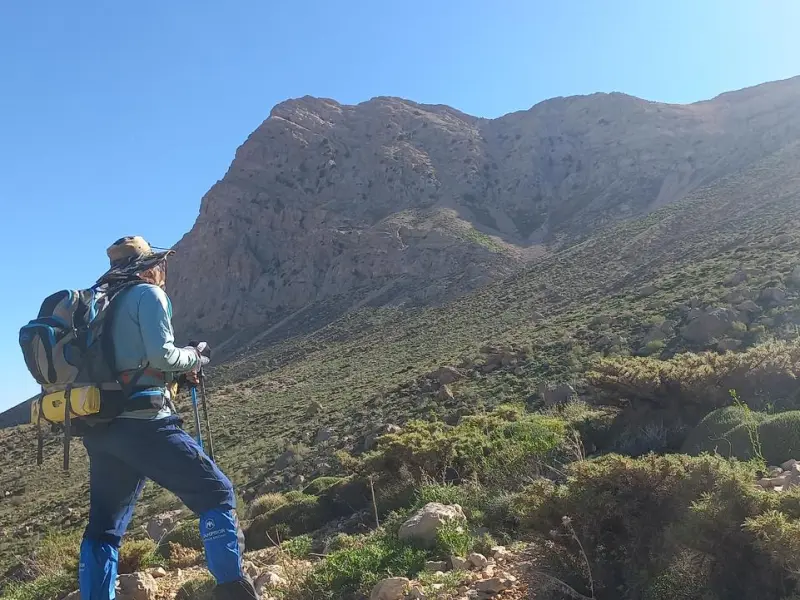
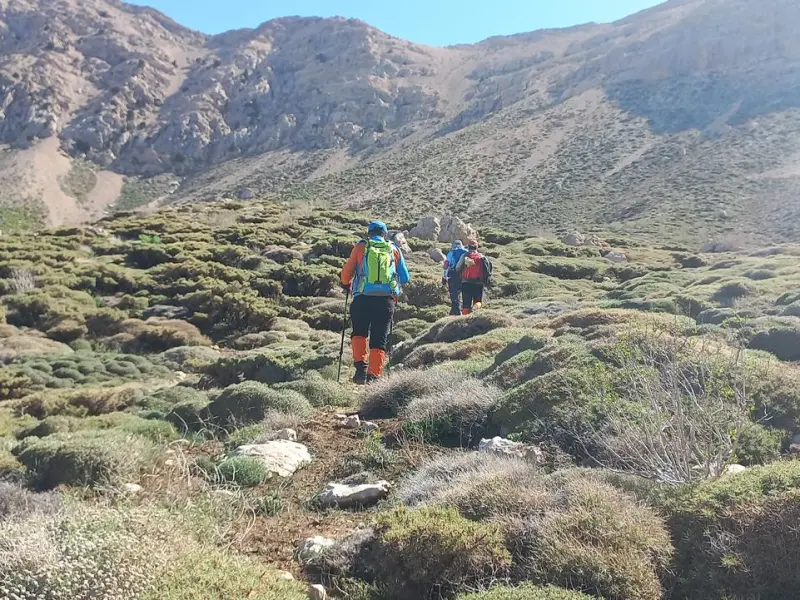
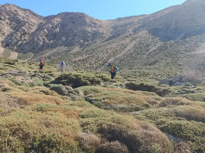
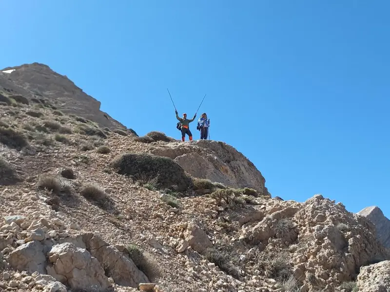
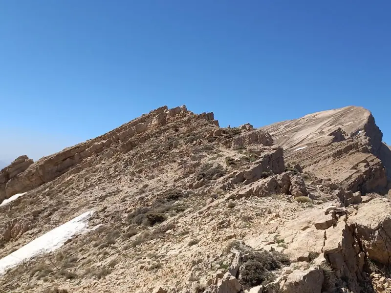
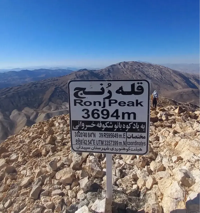
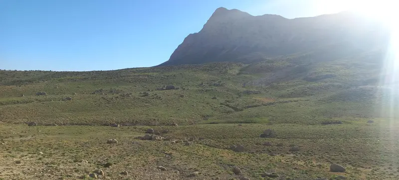
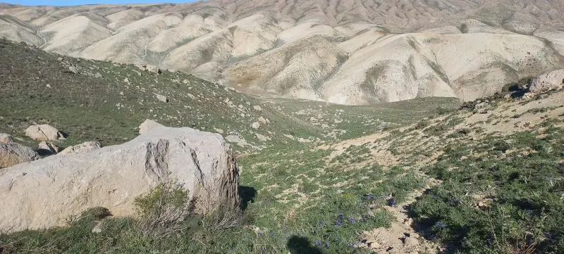
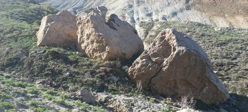
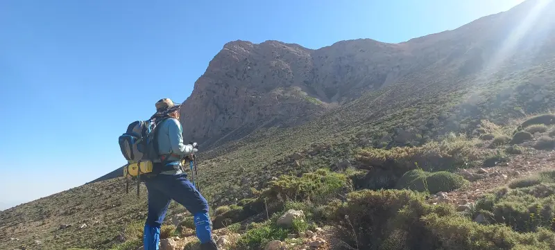
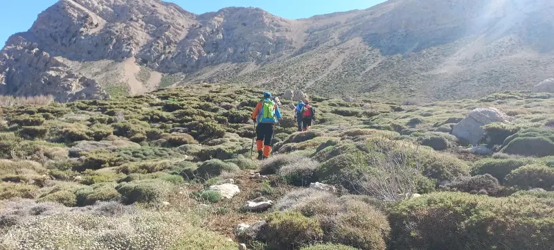
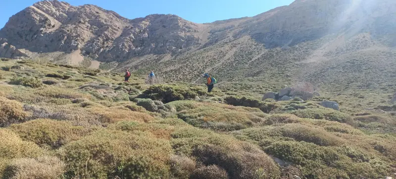
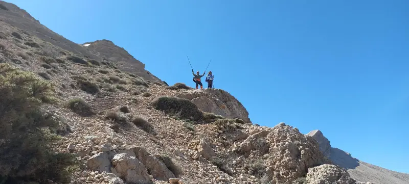
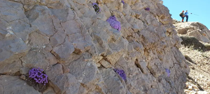
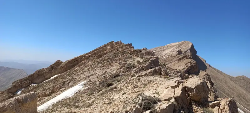
Ranj Peak is one of the most prominent summits in Fars Province. It lies in Sepidan County, northwest of Shiraz and about 13 kilometers from the town of Ardakan. The mountain belongs to the Zagros range and, thanks to its considerable height and sweeping views, is a popular destination for climbers and nature lovers in southern Iran. Ranj actually has two separate peaks joined by a ridge. The southern peak, which is the main summit, is called Ranj Sa'laki, while the northern peak, which is lower, is called Ranj Gombil. The southern peak, which is usually the goal of climbers, reaches an elevation of about 3,694 meters above sea level. It is counted among the highest peaks of the province and, on clear days, can even be seen from the Shiraz–Ardakan road.
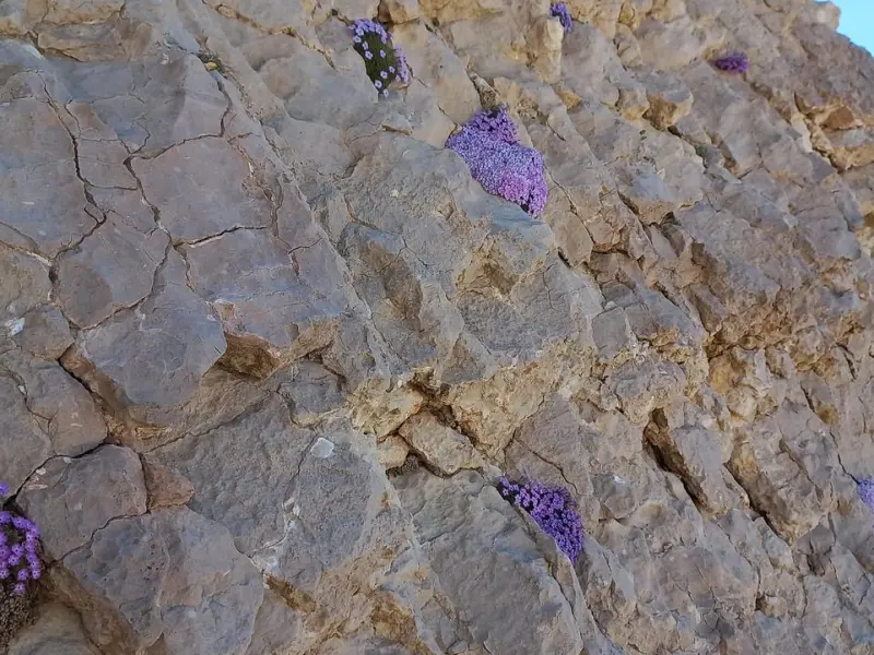
The peak is of great importance for tourism and mountaineering. The ecological diversity of its slopes, the wide views over the Zagros and the sight of neighboring mountains are among its outstanding features. The trek to the summit requires physical fitness and experience on mountain routes. In some sections, especially on the ridges leading to the summit, the slopes become steeper and the terrain more rugged, which makes for a challenging experience for intermediate and experienced climbers.
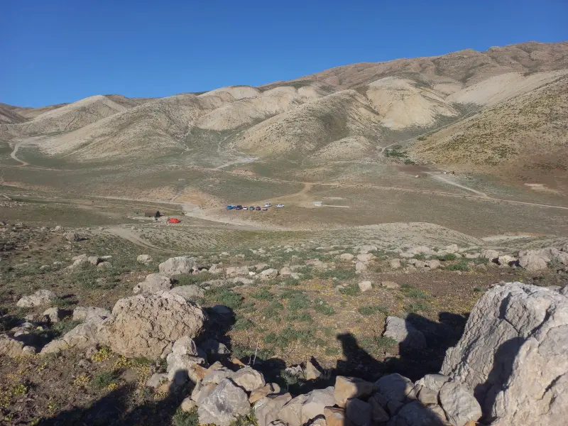
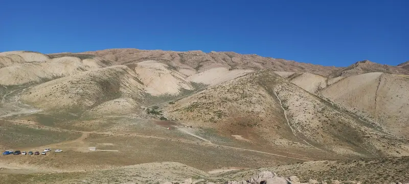
To reach Ranj Peak, you usually head from the town of Ardakan in Sepidan toward the Shiraz–Ardakan road, then join the "Seh Chah" route or the "Angereh Village" route, where clear footpaths lead to the slopes of the main ascent route. The best time to visit is spring and early summer (Ordibehesht and Khordad), when the weather is milder and the routes are easier to follow. When exploring these highlands, it is essential to follow environmental protection principles, such as not leaving litter, respecting pastures and wildlife, and avoiding unauthorized fires, in order to preserve the region's fragile ecosystem.
Written by ستایش عرب Last updated
What you can do here, and what it takes
پاکوبهای یالها و مسیرهای شیبدار تا قله برای کوهپیمایی فنی و چالشبرانگیز مناسب هستند.
Province Fars
Province Fars
Province Fars
Province Fars
Province Fars


Unfortunately, no comments have been registered.