
 Mountain
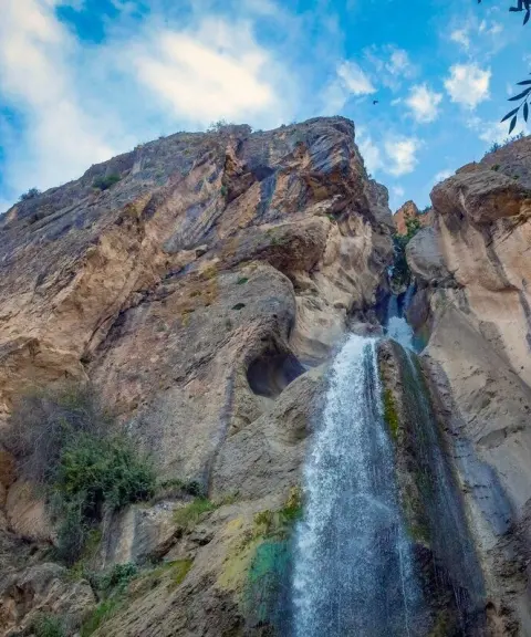
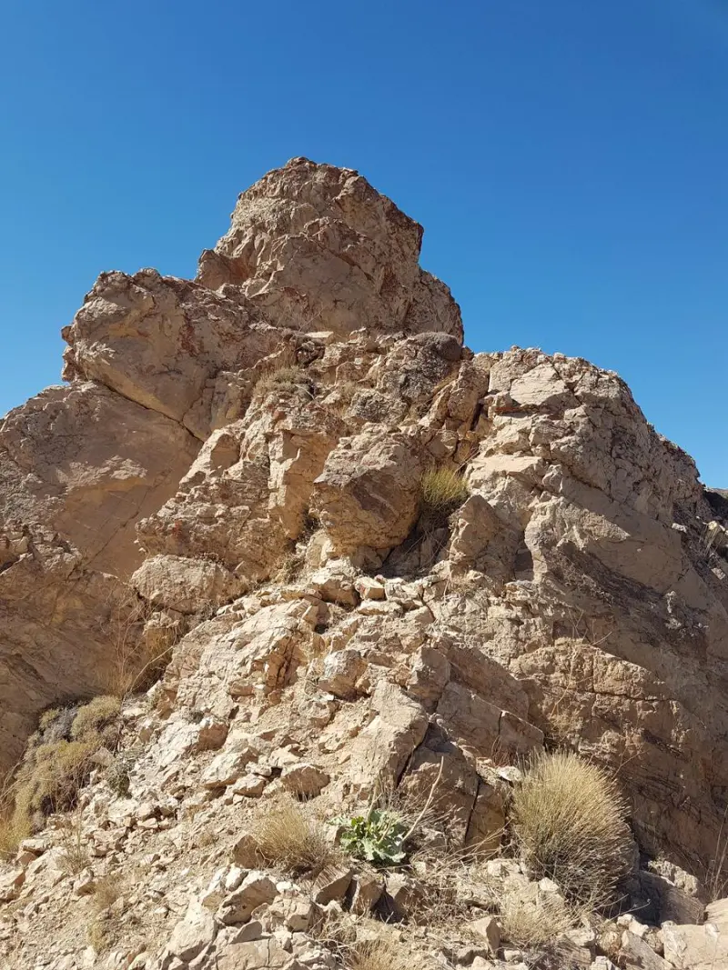
Shah Karam Peak
The Grandeur of a Ridgeline in the Central Alborz
- Mountain
- Alborz, Kuhsar
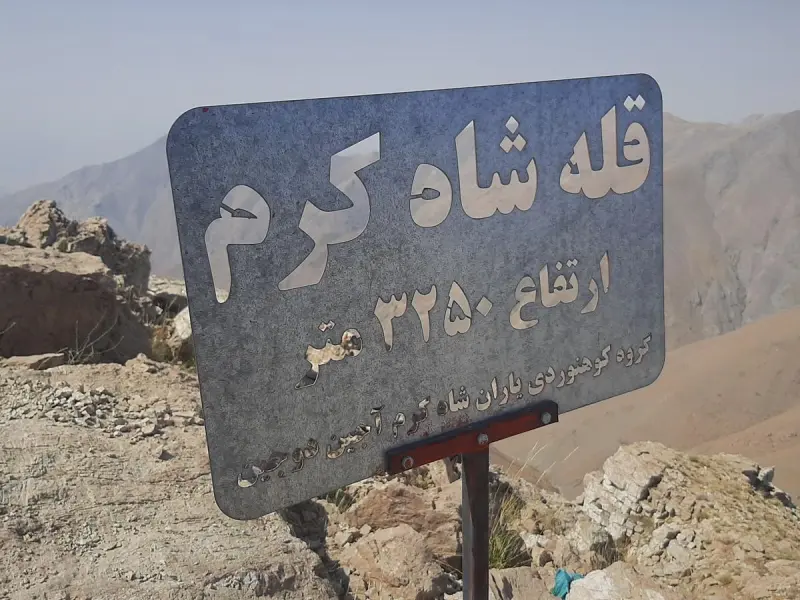
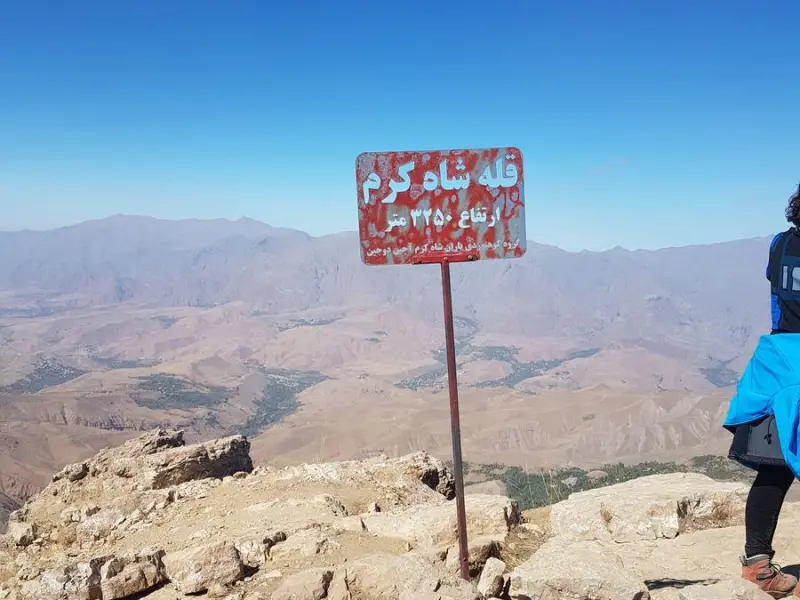
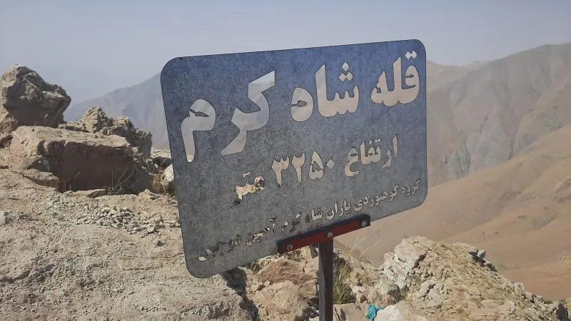
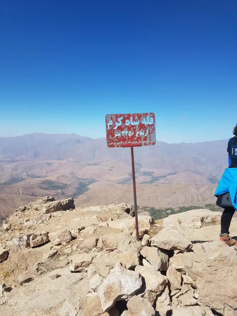
- Altitude 3,250 m
- Ability level Intermediate
- Routes 1 recorded route
Ability level:
Intermediate
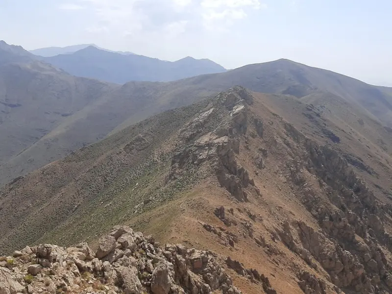
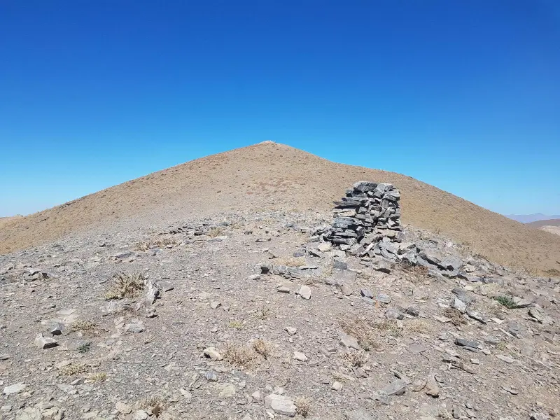
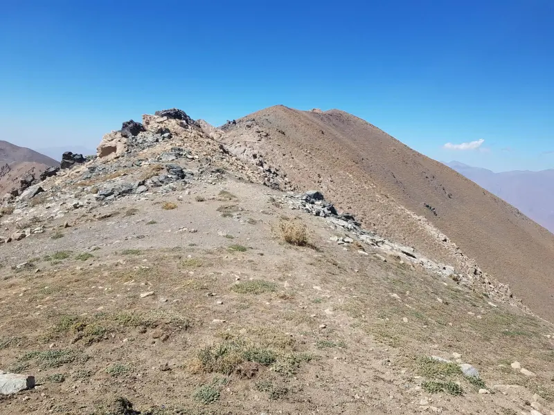
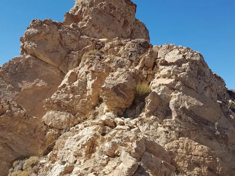
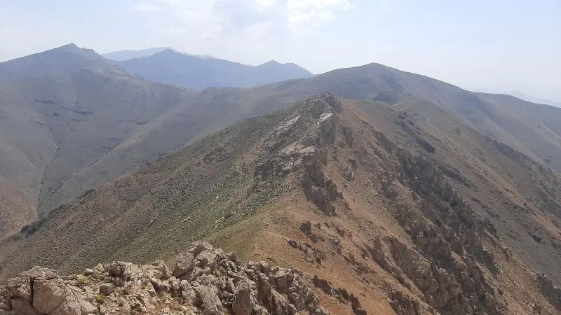
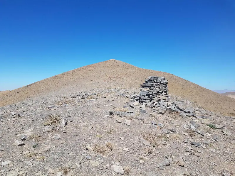
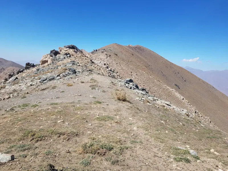
Shah Karam Peak is one of the notable summits of the Central Alborz range. It lies in Alborz Province, within the county of Savojbolagh. The peak stands on a west–east ridgeline, with the areas of Kordan and Valian to its south and the Taleqan region to its north. Together with its subsidiary and neighboring peaks, Shah Karam forms part of the chain of heights south of Taleqan and, topographically, marks the natural boundary between the Savojbolagh plain and the Taleqan valley.
For mountain tourism, Shah Karam Peak holds a special place among climbers thanks to its considerable height, wide views and varied access routes. Based on a comparison of sources and ascent reports, the height of the peak ranges between 3,200 and 3,300 meters. Its position on the main ridgeline makes it possible, on clear days, to see important peaks such as Kahar, Naz, Varkesh and even the Alam-Kuh massif. This feature has made Shah Karam an attractive destination for technical and recreational ascents.
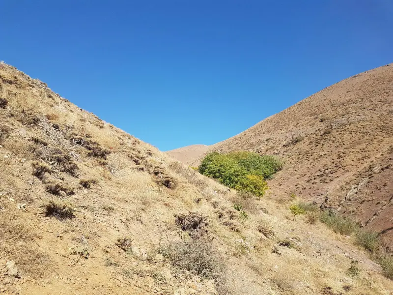
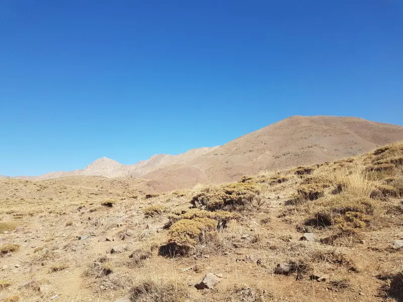
Shah Karam Peak can be reached by several routes, the most common of which approach from the south, from the villages of Valian and Sirud. The best time to visit and climb is spring, summer and early autumn, when the routes are free of snow and the weather is more stable. When enjoying nature in this area, responsible practices play an important role in sustaining the mountain ecosystem. These include protecting the pasture cover, avoiding damage to water sources, respecting orchards and village lands, and carrying out all trash.
Written by ستایش عرب Last updated
Activities
What you can do here, and what it takes
-
Mountaineering
مسیرهای یالی و خطالرأسی منتهی به قله شاه کرم برای صعودهای نیمهسنگین و برنامههای یکروزه کوهنوردی مناسب است.
Specifications
Introduction of the location and specifications of Shah Karam Peak
Location:
Alborz, Kuhsar, Sirud Village
Coordinates:
36.10215107, 50.89274883
Open in maps
Height above mean sea:
3250 meter
Floras:
Semi-humid mountain climate
Faunas:
Presence of Predatory Animals, Presence of Herbivorous Animals
Transports:
Private car, Walking, Minibus, Bus
Tourist Attractions in Kuhsar
Attractions that are nearby

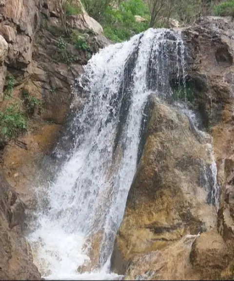
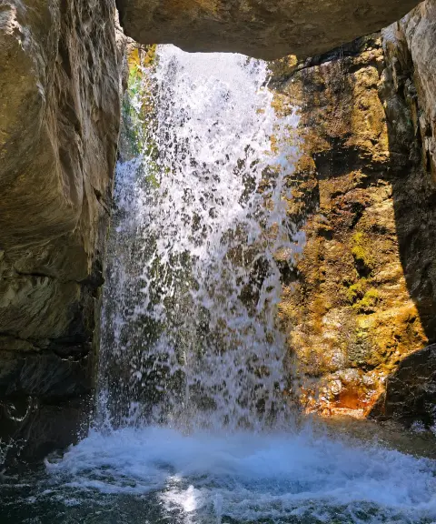
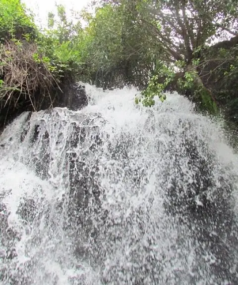
Bamak Waterfall
Province Alborz
- Walking
- Canyoning
A spectacular waterfall in the heart of the green Sibandarreh Gorge
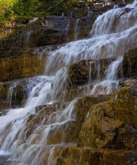

Valian Village
Province Alborz
- Walking
- Mountaineering
- Cycling
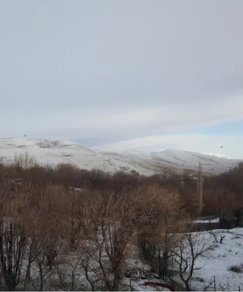
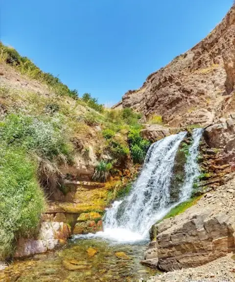
A lush summer pasture village in the mountains of Savojbolagh
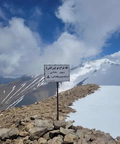
Farakh-e Now Peak
Province Alborz
- Mountaineering
- Walking
Unfortunately, no comments have been registered.