
 Mountain
- Ability level Intermediate
- Routes 1 recorded route
Ability level:
Intermediate
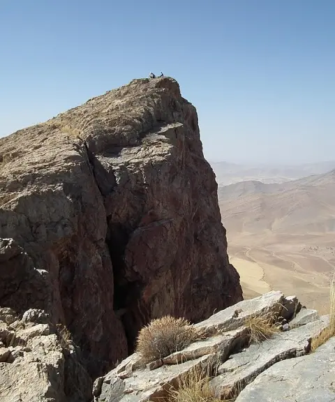
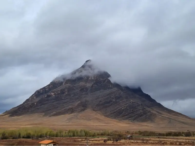
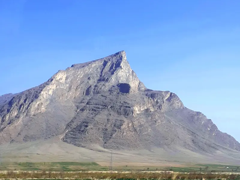
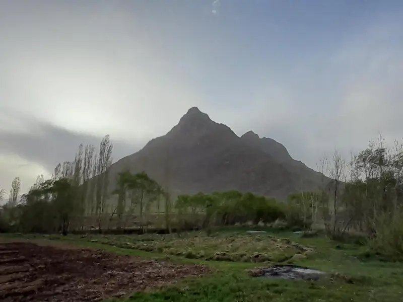
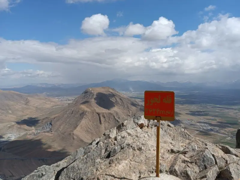
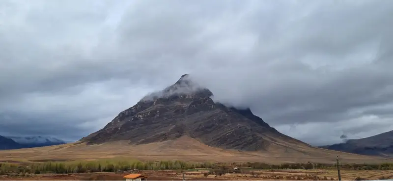
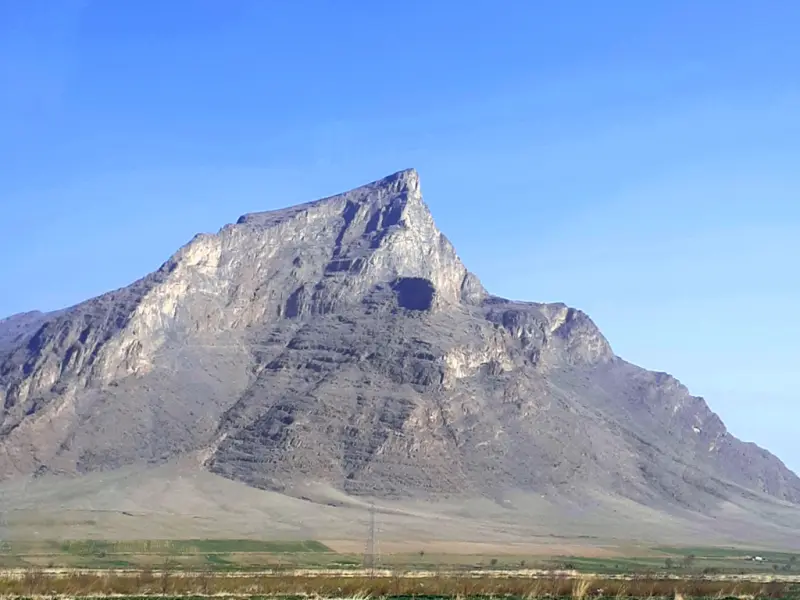
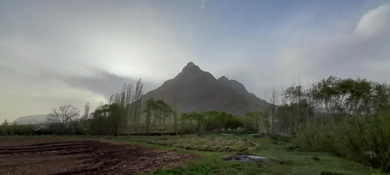
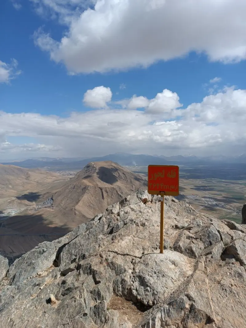
Lajur Peak is one of the best-known summits in the northwest of Shazand County, Markazi Province, Iran. It lies in the central Zagros mountain range and is especially renowned among mountaineers and technical rock climbers. The mountain stands next to the village of Eskan and has magnificent rocky landscapes and cliff walls, which make it not just an ordinary hiking destination but an attractive target for wall climbing and technical mountaineering.
At an elevation of about 2,800 to 2,850 metres above sea level, Lajur Peak is one of the most notable heights in the region. Its limestone walls are roughly 340 to 350 metres high, and for this reason it is regarded as the third-highest wall in the country among technical rock-climbing routes. These walls hold numerous natural and aid routes of various grades, and many of the country's mountaineering clubs come to the area for technical training and rock-climbing programmes.
To reach Lajur Peak, you usually travel from the city of Arak towards Shazand and then turn onto the road to the village of Eskan. The route continues from the car park to the Lajur shelter, and from there the climb begins, depending on the route you choose (a hiking traverse or the technical wall routes). The best time to visit and climb the mountain is spring and autumn, when the mountain weather is more favourable and climbing conditions are safer. In any case, it is essential to follow the principles of responsible nature tourism and mountaineering safety, including carrying full equipment and enough water, and having the technical knowledge required for the wall routes.
Written by ستایش عرب Last updated
Activities
What you can do here, and what it takes
-
Mountaineering
مسیرهای کوهپیمایی تا قله لجور مناسب کوهنوردان با تجربه هستند.
-
Rock Climbing
دیوارههای بلند آهکی لجور با مسیرهای طبیعی و مصنوعی جذاب برای سنگنوردان فنی محسوب میشوند.
Specifications
Introduction of the location and specifications of Lajur Peak
Location:
Markazi, Arak
Coordinates:
34.07431048, 49.33037281
Open in maps
Height above mean sea:
2800 meter
Floras:
Semi-arid mountainous
Faunas:
Presence of Predatory Animals, Presence of Herbivorous Animals
Transports:
Private car, Walking, Minibus, Bus
Tourist Attractions in Arak
Attractions that are nearby

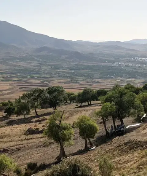

Rasband Wildlife Refuge
Province Markazi
- Walking
- Mountaineering
A high-altitude habitat of remarkable diversity in the heart of Iran's central mountains
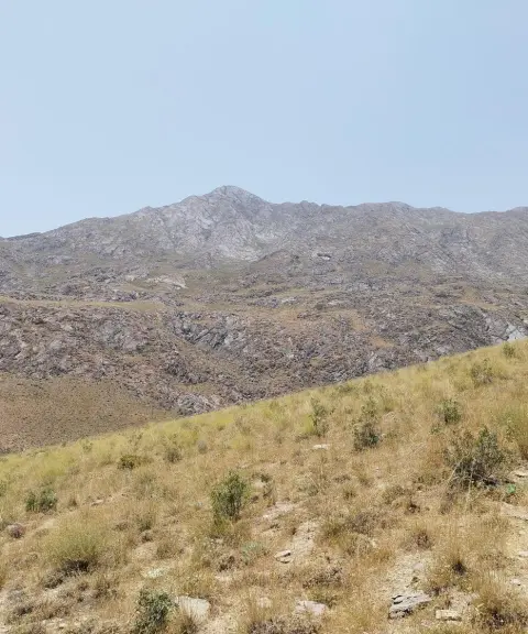

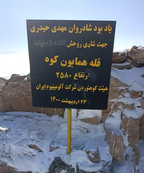
Homayoun Kuh Peak
Province Markazi
- Mountaineering
A mountain refuge rising above the natural landscape of central Iran

Darreh Farakh Cave
Province Hamadan
- Walking
- Caving
The silence of stone and water in the heights of Juzan

Related tags:
Unfortunately, no comments have been registered.