
 Waterfalls
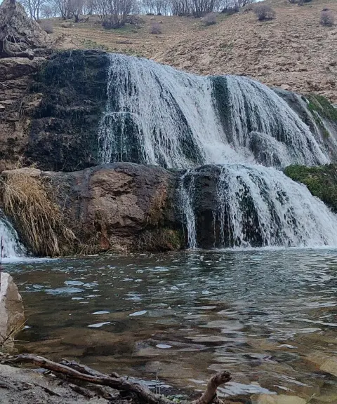
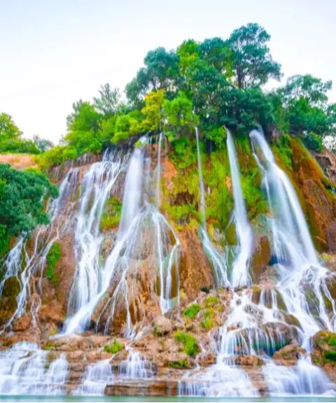
Garit Waterfall
A Crystal-Clear Waterfall in Lorestan
- Waterfalls
- Lorestan, Khorramabad
- Altitude 1,869 m
- Ability level Beginner
Ability level:
Beginner
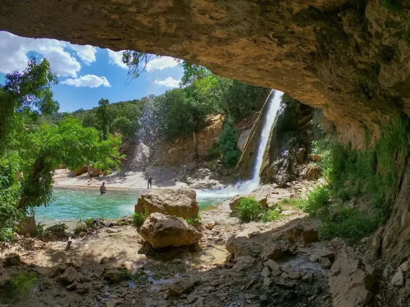
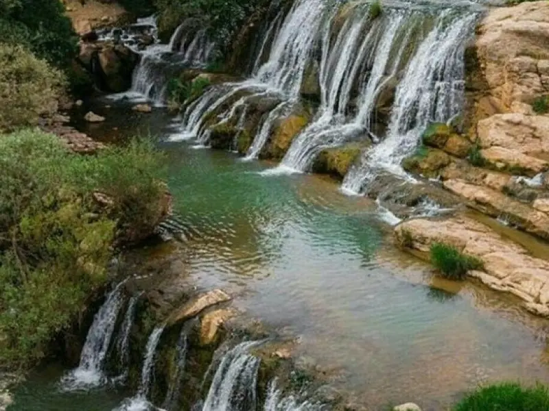
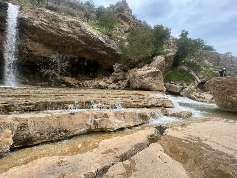
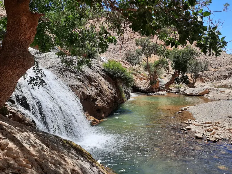
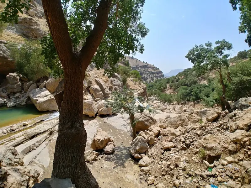
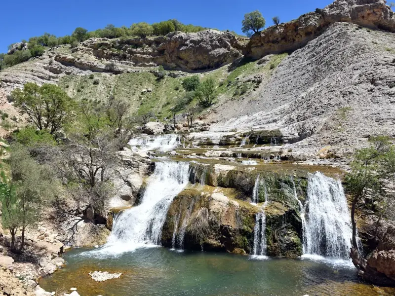
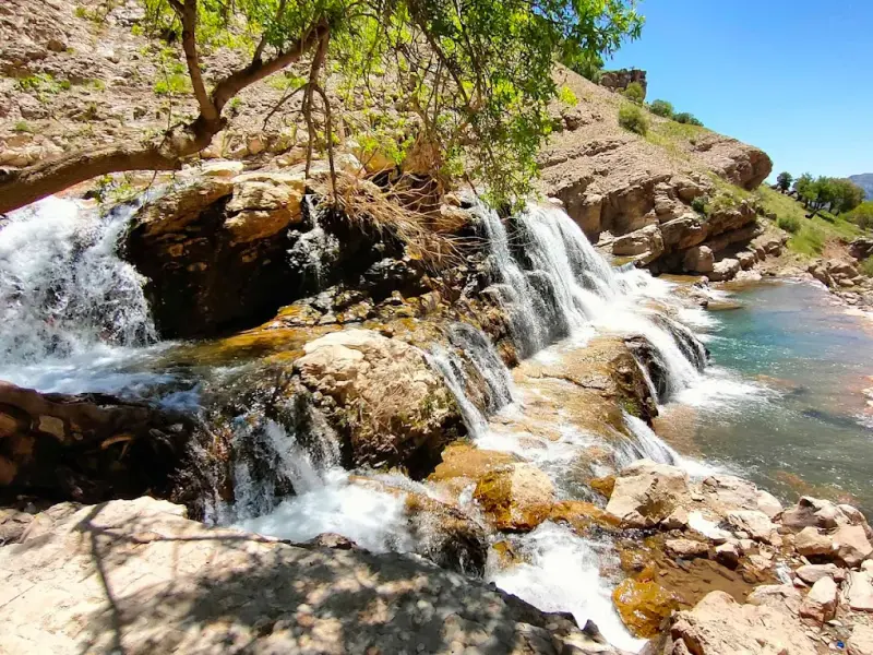
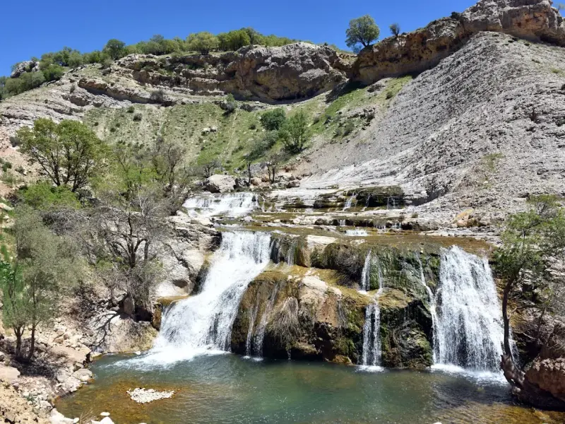
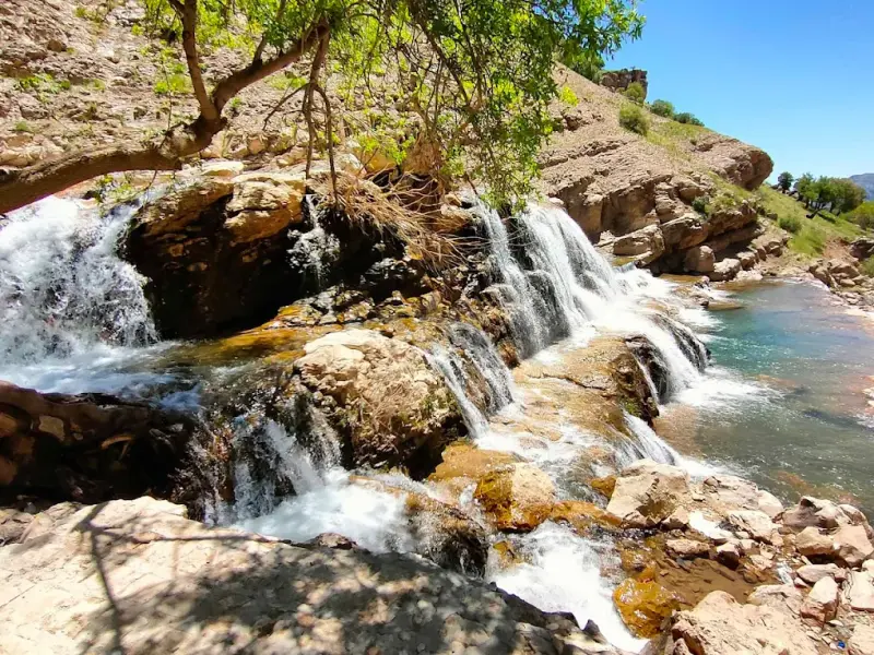
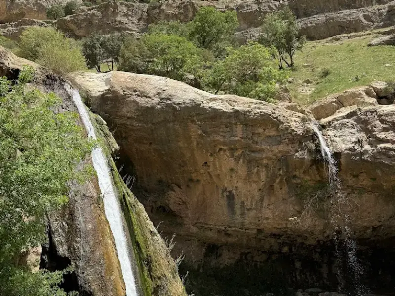
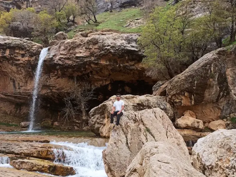
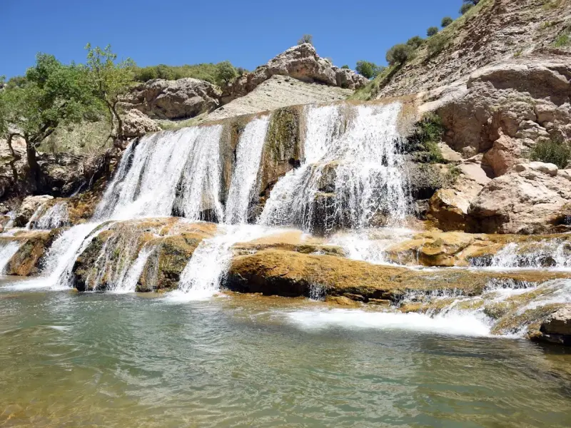
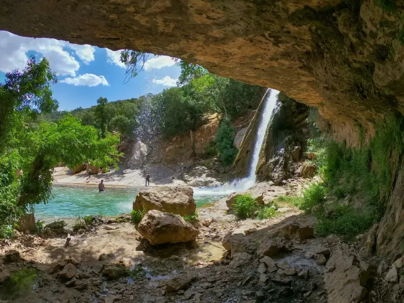
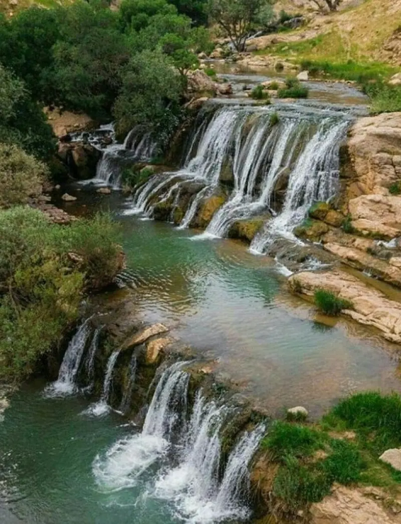
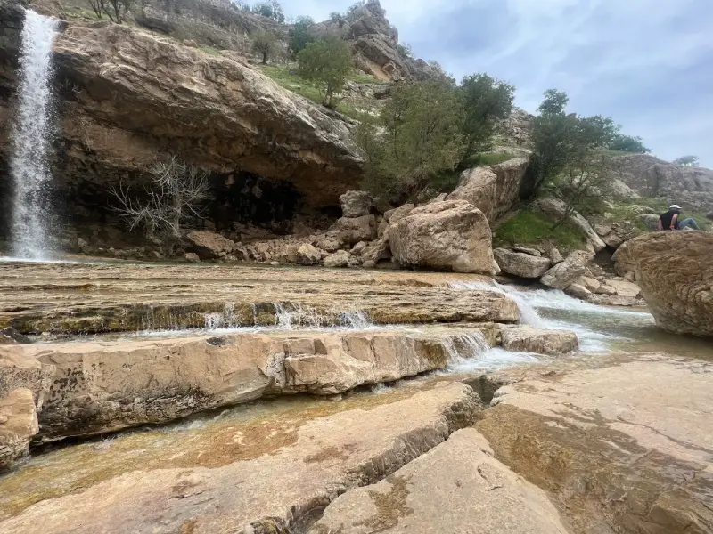
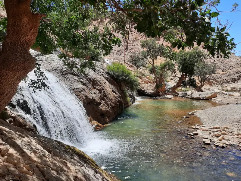
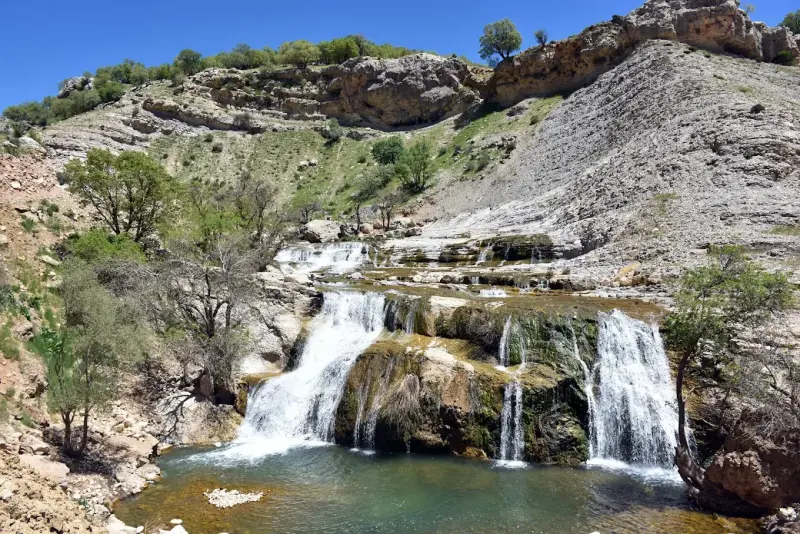
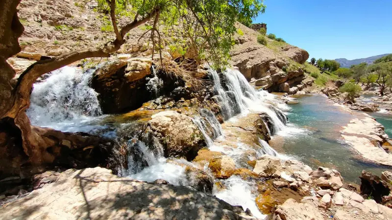
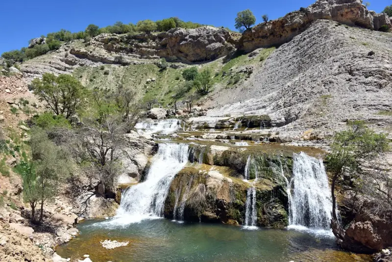
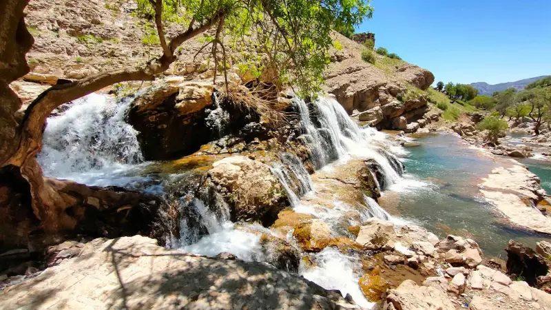
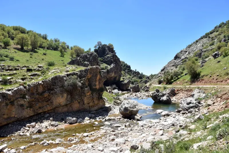
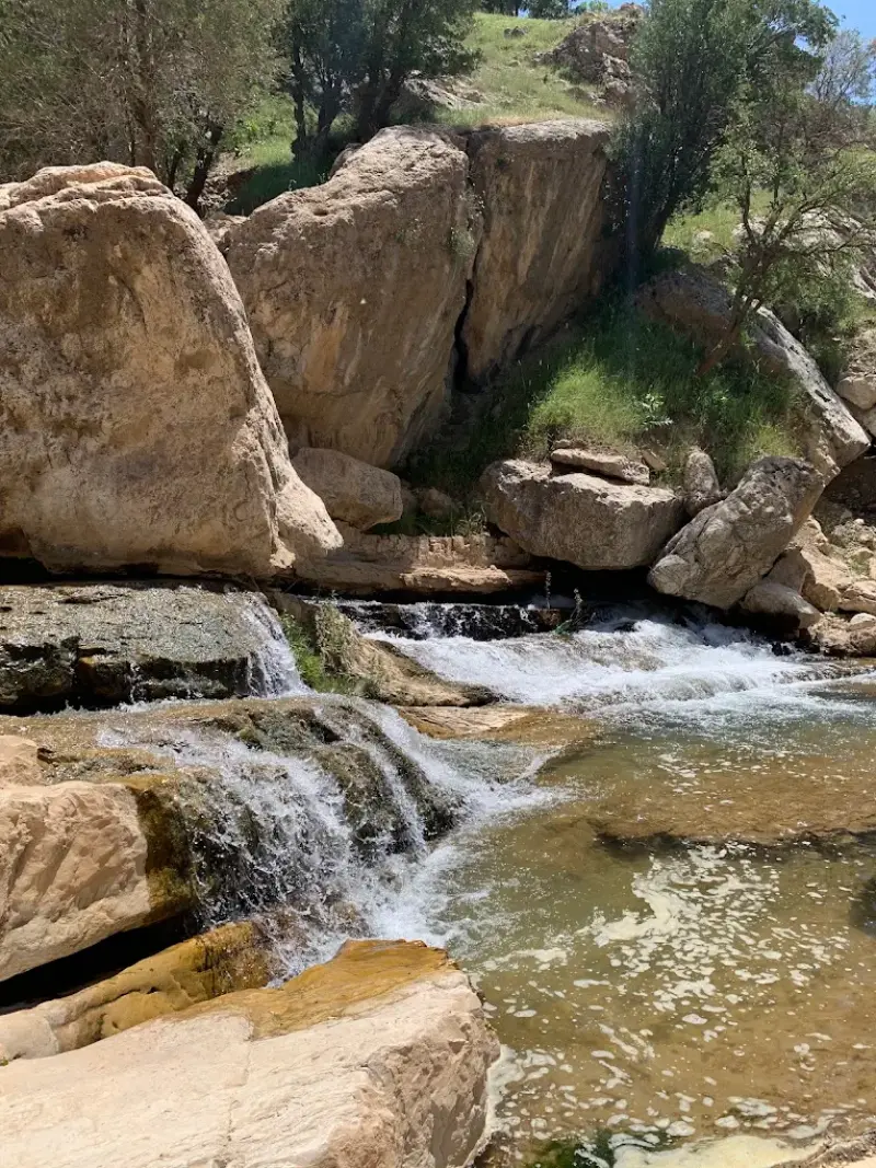
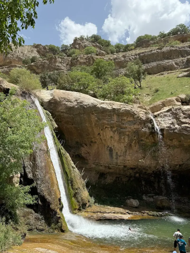
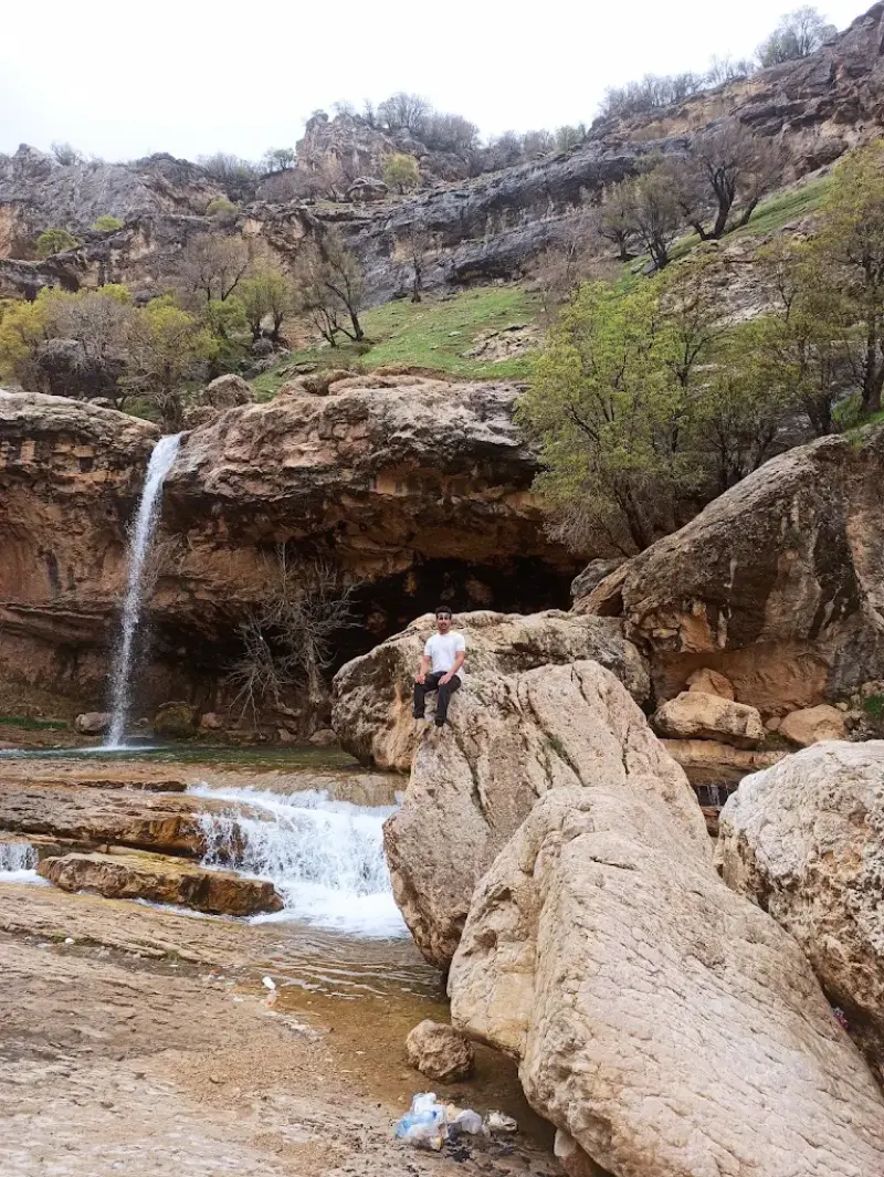
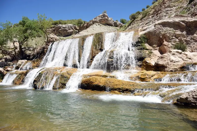
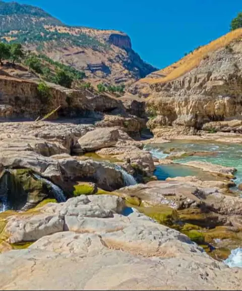
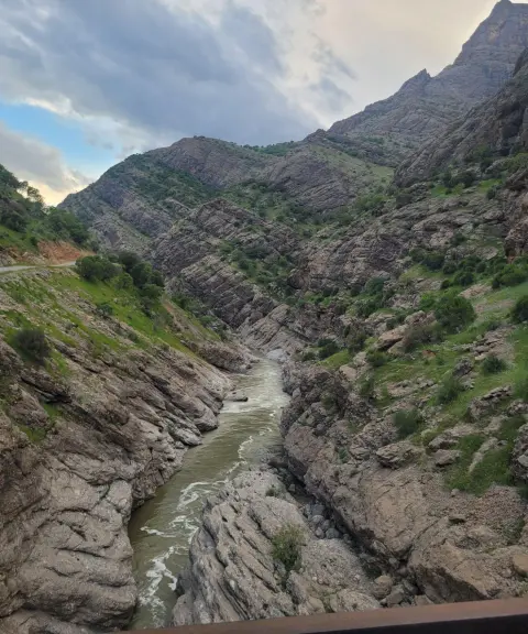
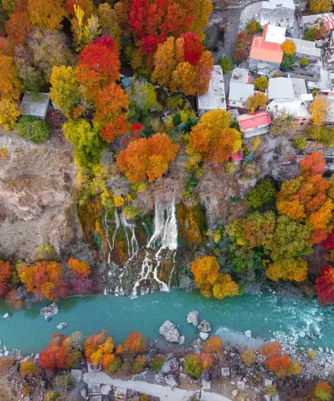
Garit Waterfall, also known as Sarkaneh and called Taf-e Haft Cheshmeh ("Seven Springs Waterfall") in the local dialect, is one of the waterfalls of Lorestan, set in a mountainous and forested area. It lies 50 kilometres southeast of Khorramabad, in the village of Garit in Papi District. Because it is right beside the road and close to Sepid Dasht and Khorramabad, Garit Waterfall enjoys a good location and easy access. Lorestan, known as the land of waterfalls, has many spectacular waterfalls such as Bisheh, Nojian and Ab-e Sefid. Garit Waterfall is another of the beautiful waterfalls of this region and counts among the attractions of Khorramabad. It is 50 kilometres from Khorramabad and 30 kilometres from Sepid Dasht railway station.
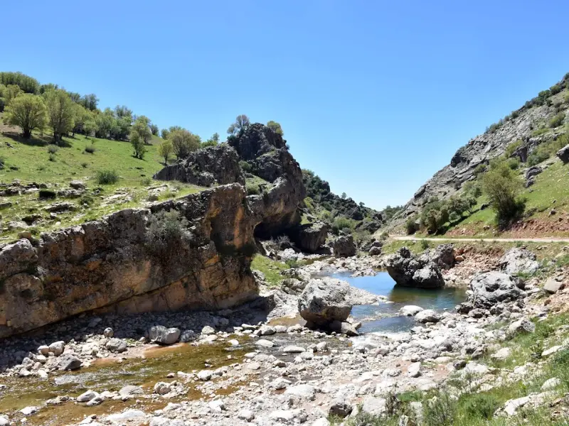
If you enjoy walking and nature tourism, you can reach the waterfall on a one-hour hike from Garit village. The route is full of beauty and spectacular scenery that you will certainly enjoy. If you decide to drive to the foot of Garit Waterfall, take the Dorud to Khorramabad road. After 50 kilometres on this road you will see the sign for Bisheh Waterfall; continue until you reach a three-way junction. The road on the right leads to Garit Waterfall. You can also reach Garit Waterfall by the Tehran–Ahvaz train. To do so, get off at Sepid Dasht station. From there it is 30 kilometres to the waterfall.
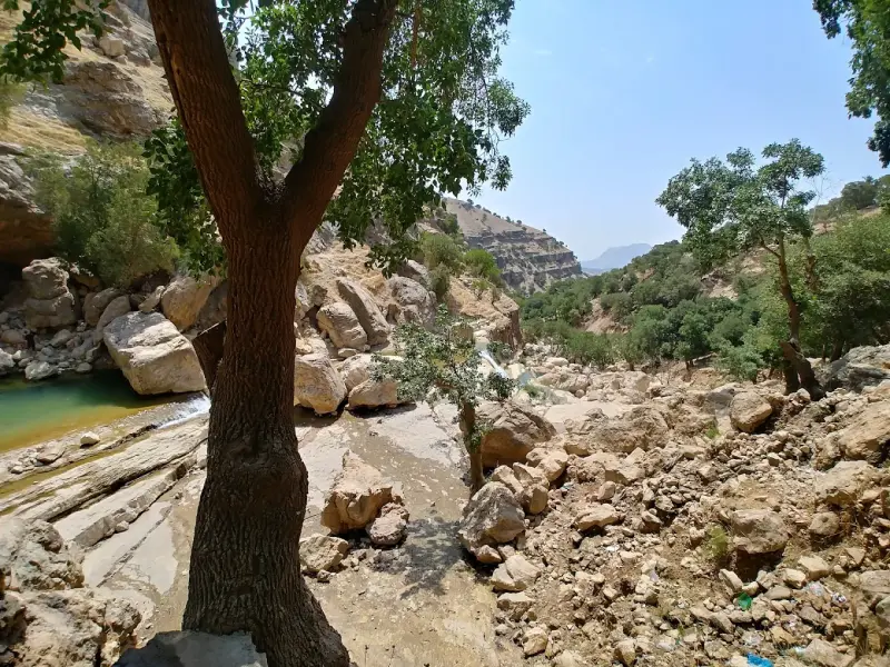
The vegetation of this area consists mainly of trees, shrubs and rangeland plants. Among the most important plants of the area are boxwood, oak, walnut and native aromatic plants. Around the waterfall you can also see a variety of flowering and medicinal plants, which add to the beauty of the scenery. The Garit Waterfall area is home to a variety of animal species, including birds, mammals and reptiles. Birds such as falcons, pigeons and nightingales are seen here in abundance. There are also mammals such as hares and foxes, and occasionally gazelles that come close to these areas.
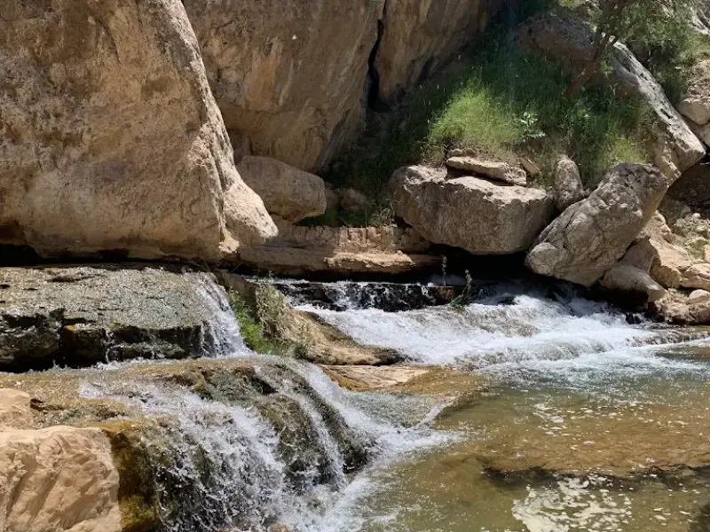
Activities you can enjoy here include walking in the beautiful nature of Garit, admiring the grandeur and greenery of the area, and taking photographs to capture memorable moments. Swimming and playing in the water of the pools is another exciting activity at Garit Waterfall. The waterfall is one of the best places for family and friends' picnics in the lap of nature. Facilities include restrooms, seating platforms and an access path to the foot of the waterfall.
The Garit area is cold in autumn and winter, while spring and summer are very cool and green. In these seasons the surroundings of the waterfall and the slopes of the nearby heights are covered with colourful flowers and dense oak trees, which doubles its beauty. Garit Waterfall lies in the heart of nature and there are no amenities around it. So when visiting, bring essential personal items such as medication, suitable footwear, snacks and food, and avoid carrying heavy or unnecessary items.
Written by ستایش عرب Last updated
Activities
What you can do here, and what it takes
-
Walking
از روستای گریت تا آبشار حدود یک ساعت پیادهروی دارید.
-
Swimming
حوضچههای اطراف آبشار مناسب برای شنا هستند.
Specifications
Introduction of the location and specifications of Garit Waterfall
Location:
Lorestan, Khorramabad
Coordinates:
33.28459306, 48.72228384
Open in maps
Height above mean sea:
1869 meter
Floras:
Temperate Broadleaf and Mixed Forests
Faunas:
Presence of Predatory Animals, Presence of Allergenic Insects, Presence of Herbivorous Animals
Transports:
Private car, Walking, Minibus, Bus
Related Tourist Attractions
Attractions that are in the Waterfalls category
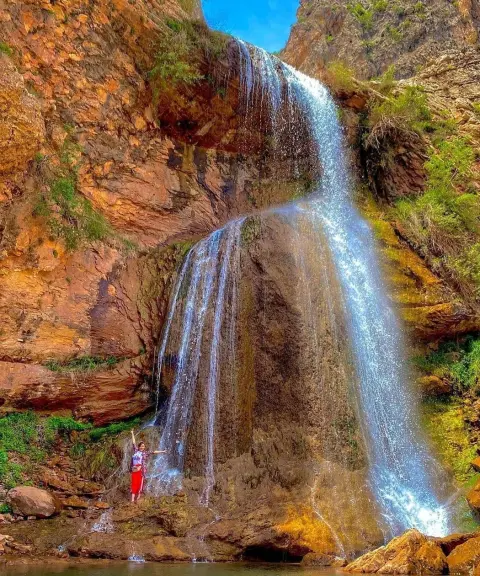
Pir Abrud Waterfall
Province Lorestan
- Walking
- Swimming
- Mountaineering
A Masterpiece of Lorestan's Unspoiled Nature
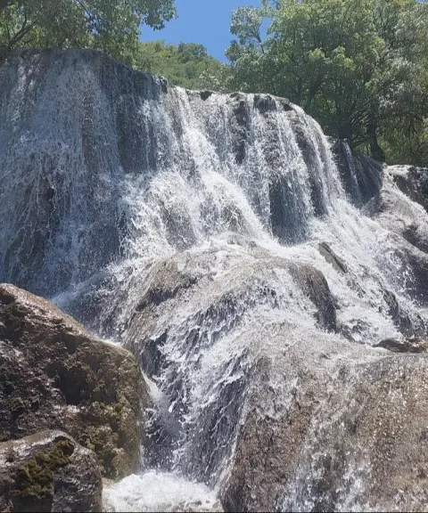
Espi Ow Waterfall
Province Lorestan
- Walking
- Mountaineering
A tiered gem in the heart of the Zagros oak forests


Related tags:
Unfortunately, no comments have been registered.