
 Wetlands
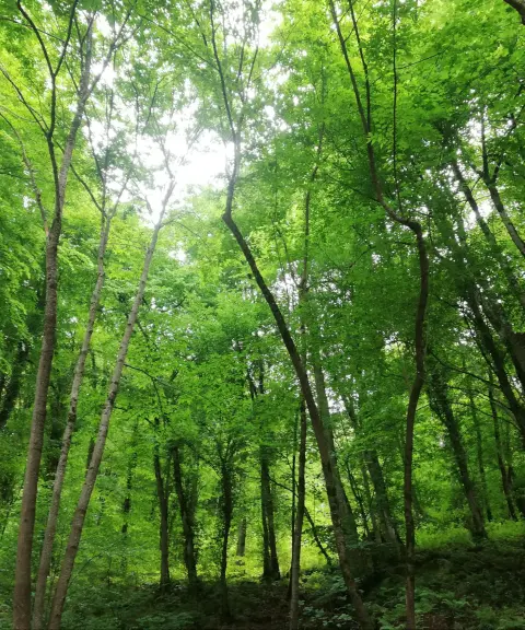

Royan Forest Park
Province Mazandaran
- Walking
- Cycling
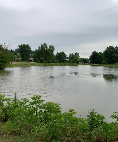
A wetland in the heart of the forests of northern Iran
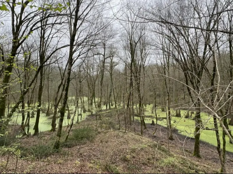
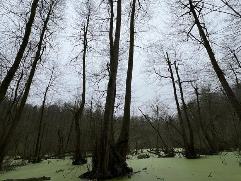
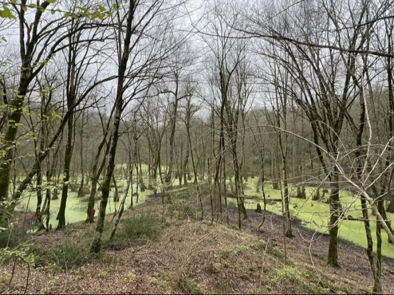
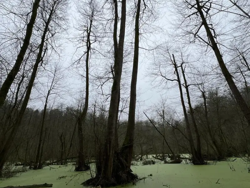
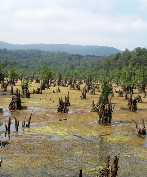
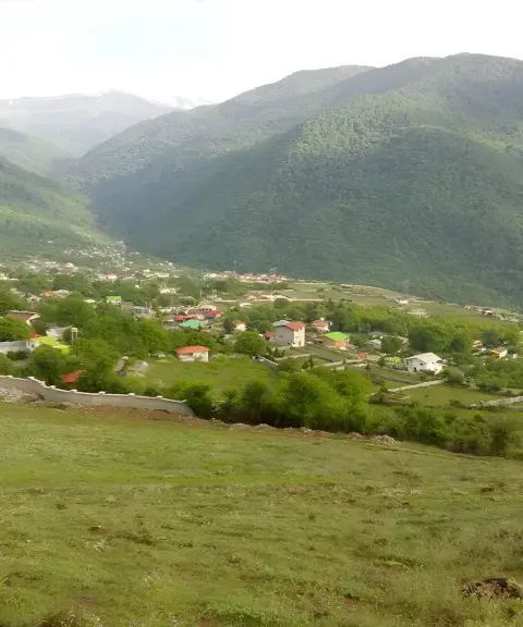
Anjilisa Marsh, also known as the Anjilisa Forest Marsh, is one of the unspoiled, lush natural attractions of northern Iran. It lies in the Royan forest area (Mazandaran Province), around the village of Khorramabad in Mazandaran, and is known as part of a network of nature-tourism routes and forest trails. Set in the Hyrcanian forests, amid the green, humid landscape of the north, the marsh is a good destination for nature lovers who want to experience a wetland environment in the middle of a forest.
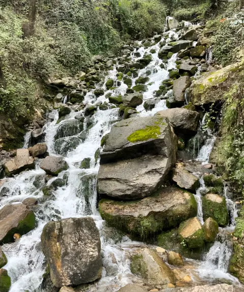
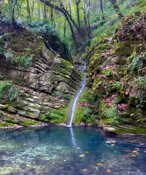
A visit to Anjilisa Marsh usually involves hiking forest trails in the Royan forests, where they meet the valleys and small rivers of the area. Routes recorded by hikers on trail-mapping platforms include crossing the Kachehrud River, bridges and forest footpaths, and reach the marsh after about 3 to 4 hours of easy to moderate walking. The route suits nature lovers and families who can manage a moderately long walk, and along the way you can enjoy forest scenery, a river and the damp natural atmosphere.
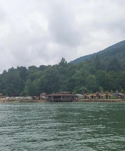
To reach Anjilisa Marsh, you usually set out from Royan Forest Park or from the forest roads around Khorramabad village, and part of the route requires walking on natural paths and forest trails. The best time to visit is from spring to early autumn, when both the forest and the marsh are at their greenest and freshest. Responsible nature-tourism practices, such as not leaving litter, protecting vegetation, respecting wildlife and taking care on wet trails, are important for preserving this valuable ecosystem.
Written by زهرا لنگری Last updated
What you can do here, and what it takes
مسیرهای پاکوب جنگلی در دل جنگلهای هیرکانی اطراف مرداب انجیلیسا برای پیادهروی و طبیعتگردی مناسب است.
Province Mazandaran
Province Mazandaran
Province Mazandaran
Province Mazandaran
Province Mazandaran


Unfortunately, no comments have been registered.