
 Mountain
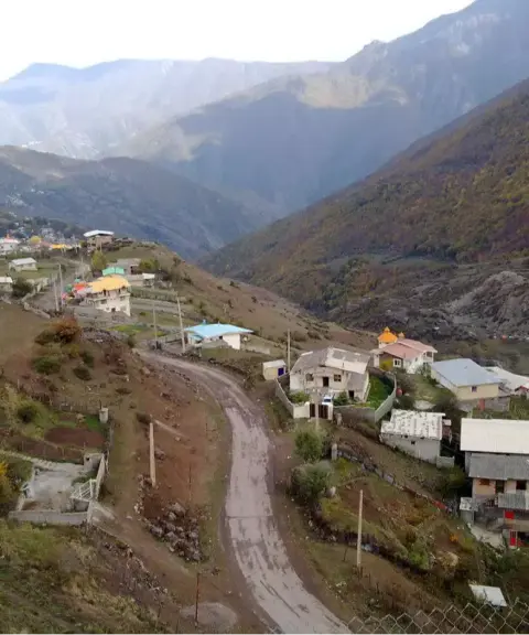

Sinva Village
Province Mazandaran
- Walking
- Swimming
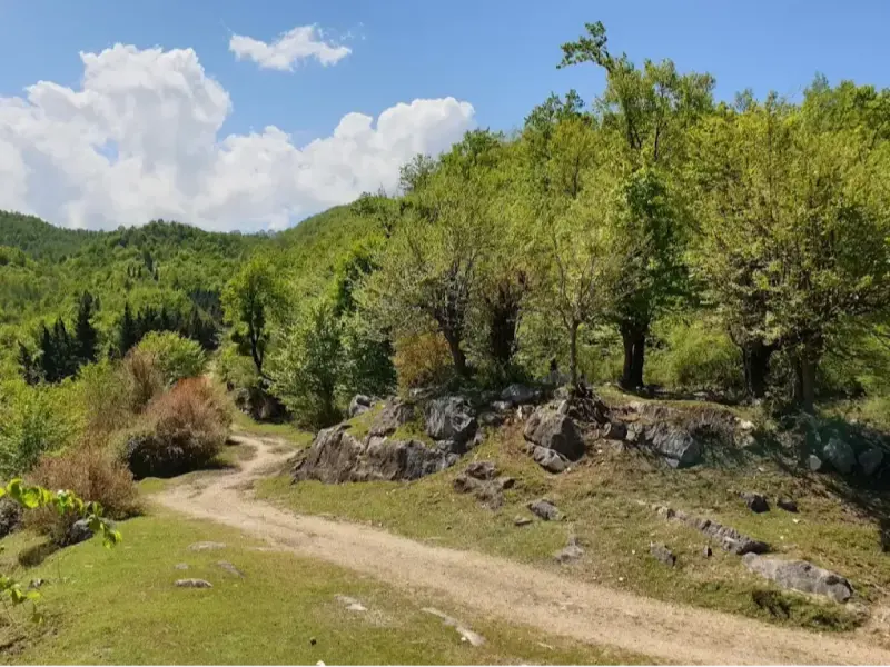
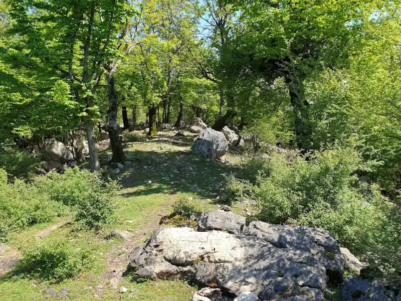
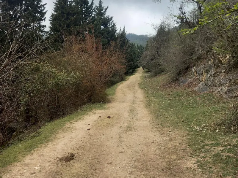
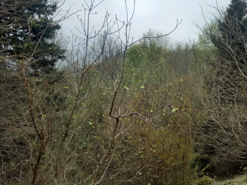
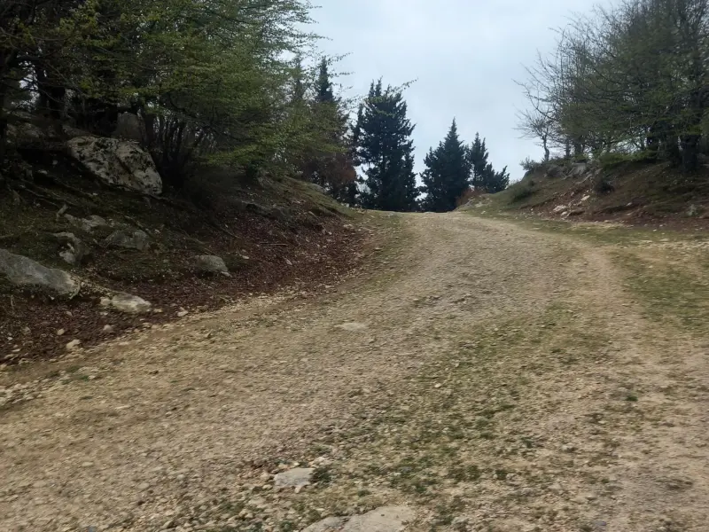
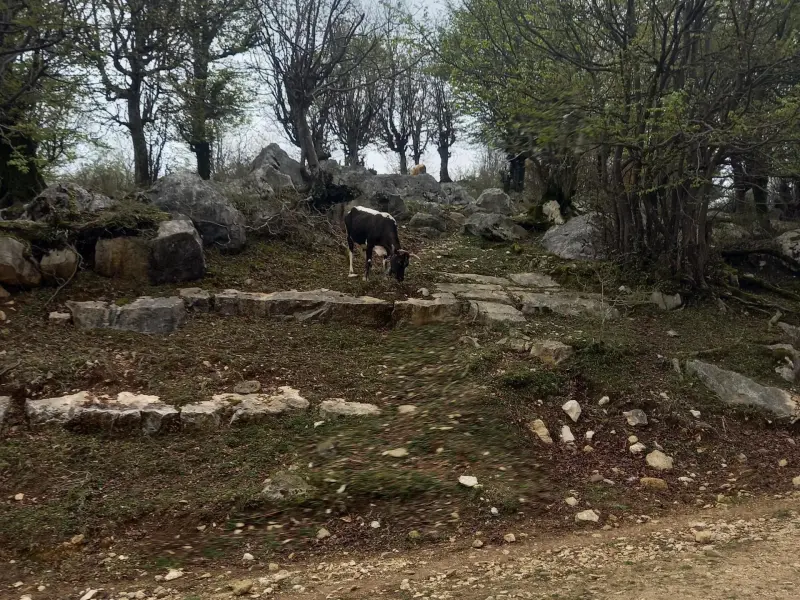
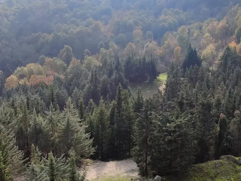
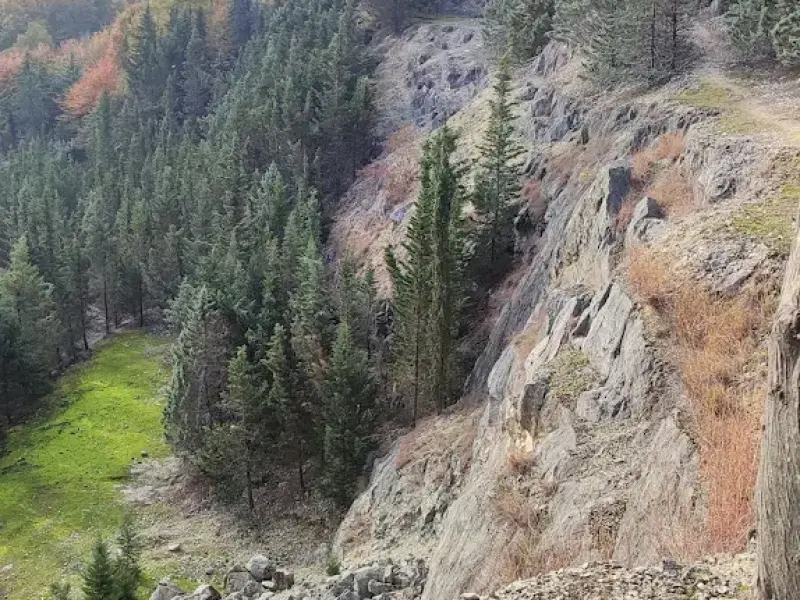
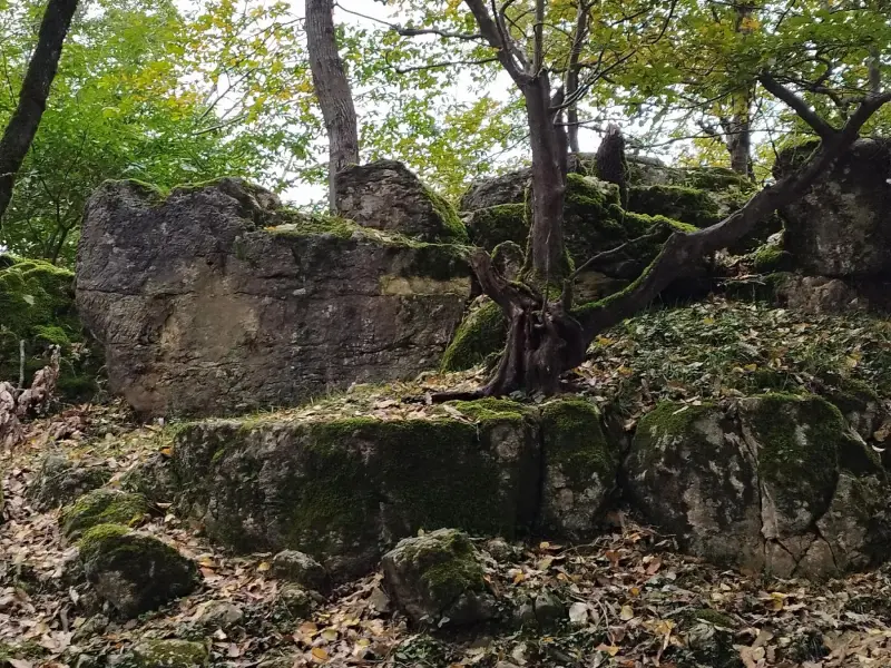
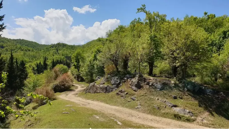
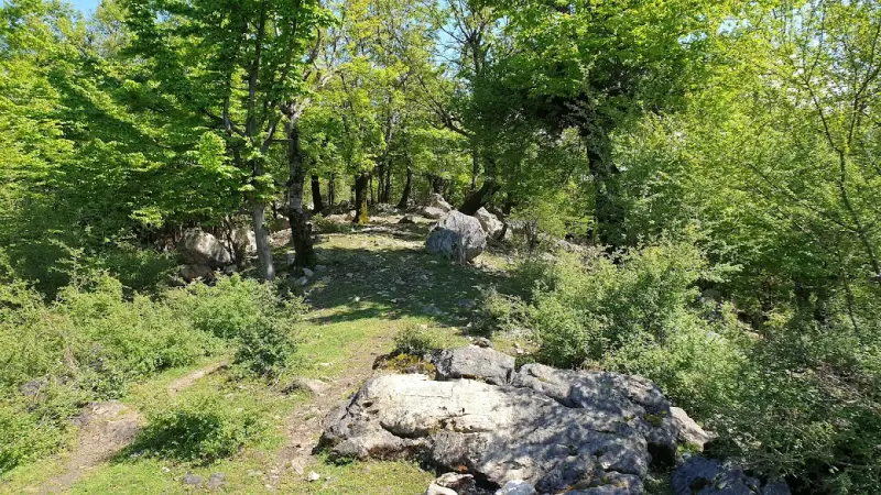
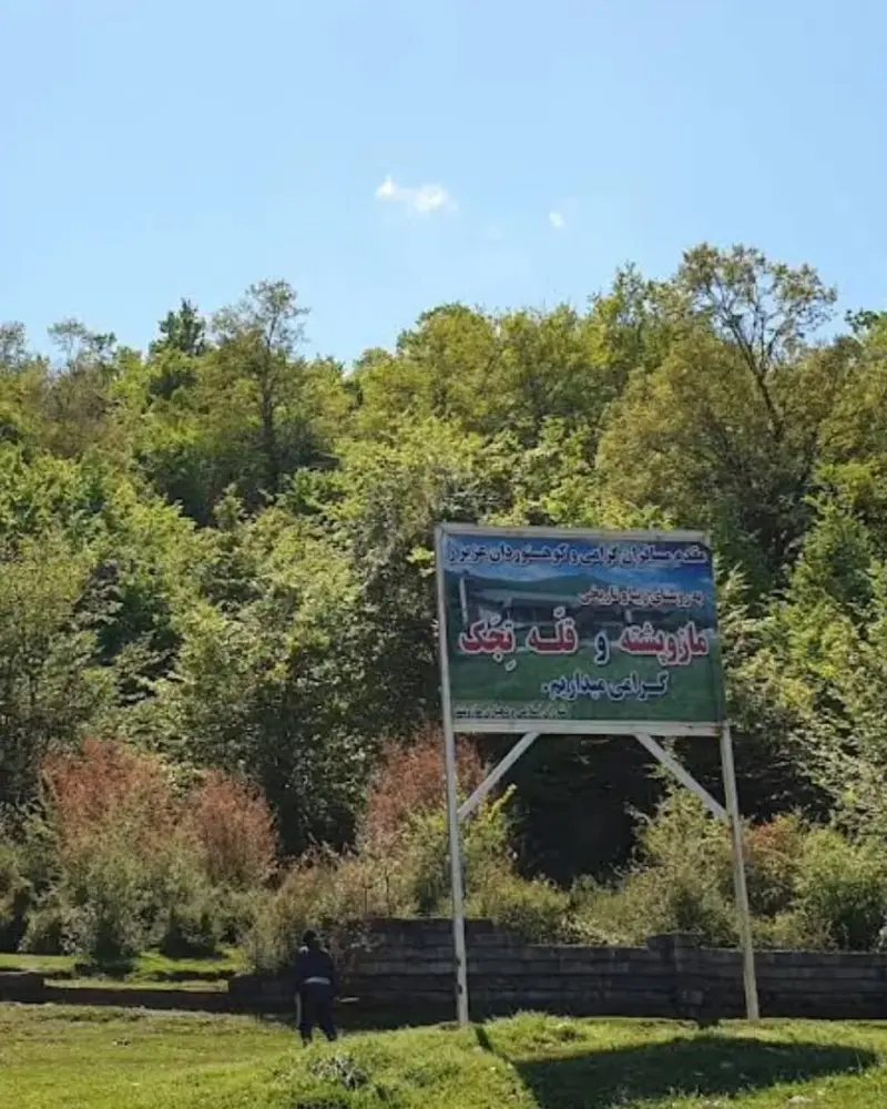
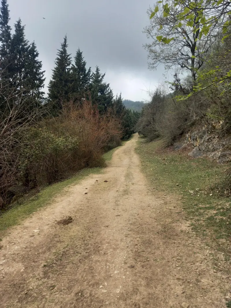
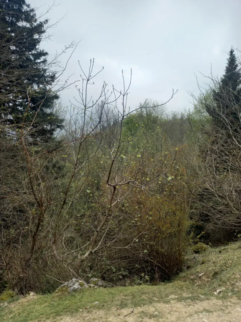
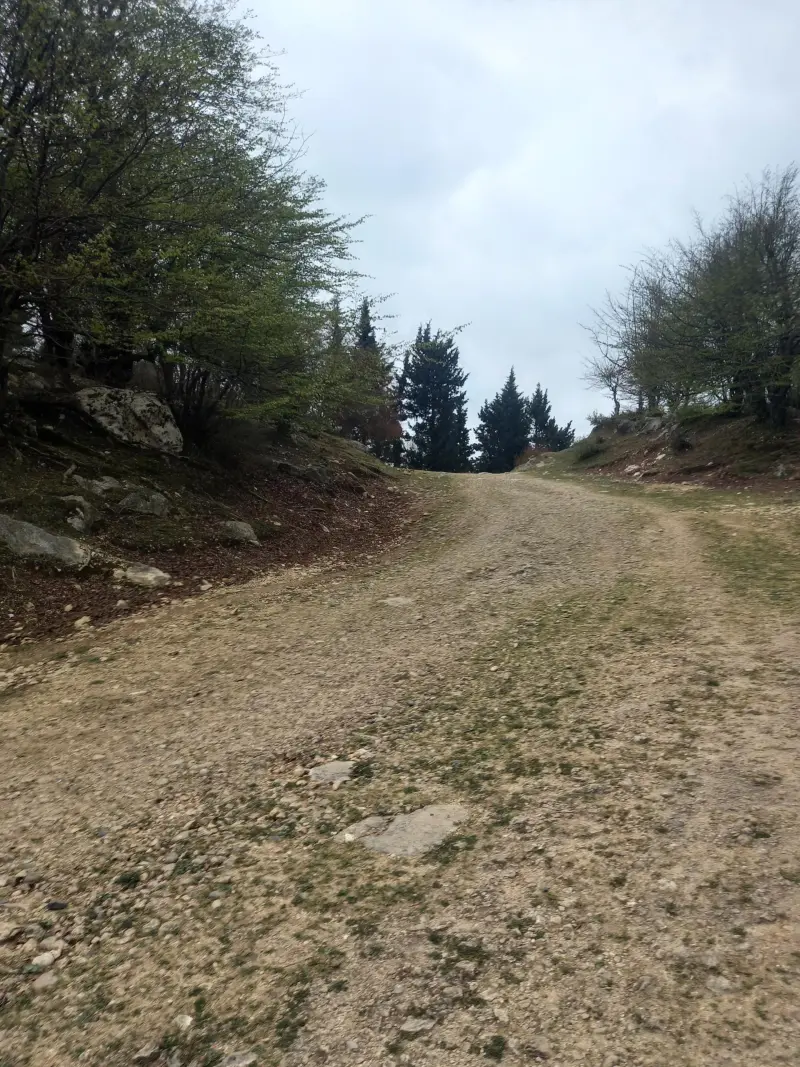
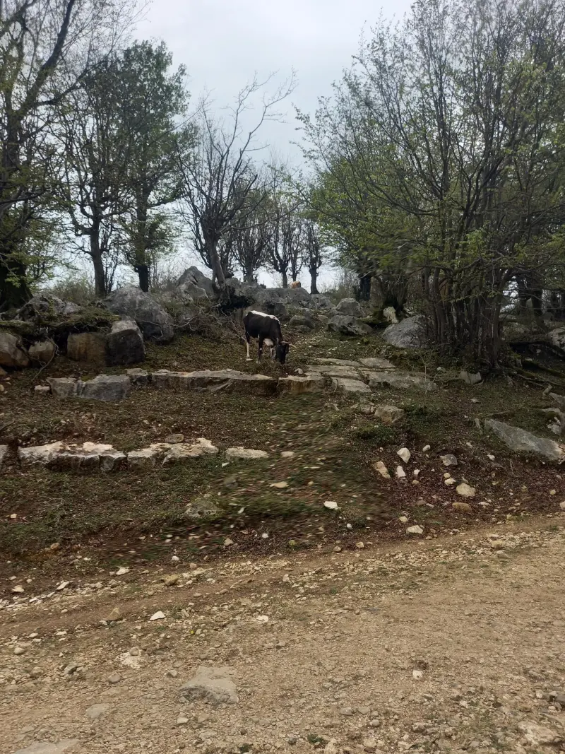
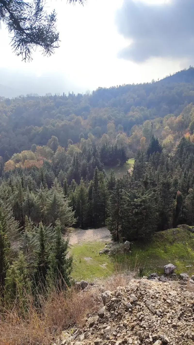
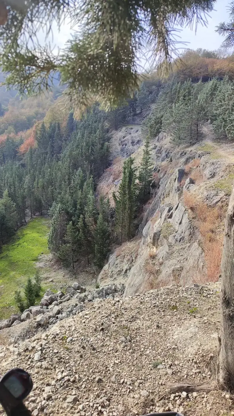
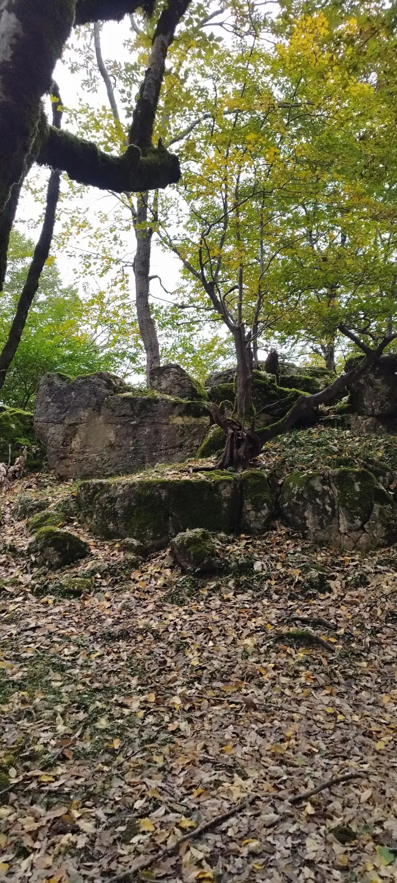
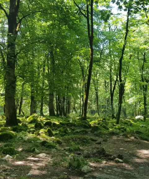
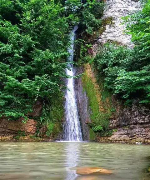
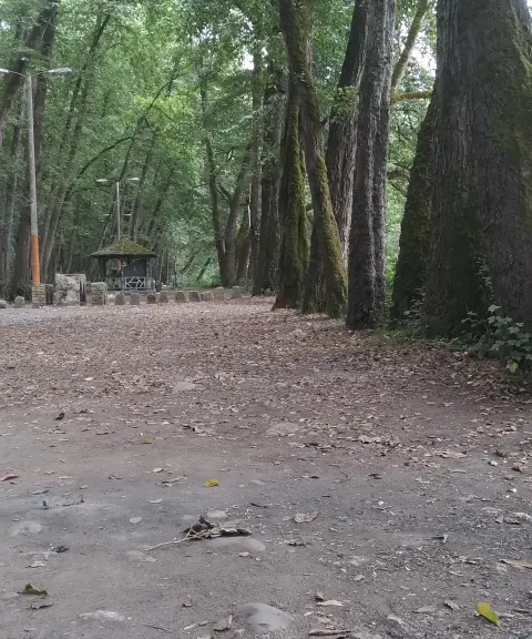
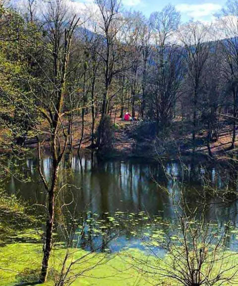
Tajak Peak is one of the natural and mountain attractions of Chalus County in Mazandaran Province. It lies in the heart of the forests of the Najardeh area and is known as a hiking and walking route. With its gentle elevation and green forest views, the peak is a good destination for nature lovers and anyone who enjoys outdoor activities away from the city. On the way to the summit you will find lush nature and beautiful views of the forests of northern Iran, which make for an enjoyable nature-travel experience for visitors.
Tajak Peak is especially suitable for non-professional climbers and hikers. Its forest trails do not require professional mountaineering equipment, and many visitors treat the ascent as a mountain walk or a light nature outing. The footpaths through the surrounding forests, the variety of plant species, and the natural scenery, including trees such as Persian ironwood (anjili) and hornbeam (mamrez), add to the appeal of the route. Hiking the full route around the peak can take several hours, and along the way the forest vegetation of northern Iran provides a pleasant setting for sports and nature activities.
To reach Tajak Peak, drive from Chalus toward Shahrara and the forests of Najardeh. From there, a forest footpath leads to the summit and is well suited to mountain walking and nature tourism. The best time to visit and climb is spring and summer, when the weather is mild and the trail is drier, making the going easier. Practising responsible nature tourism, including keeping the environment clean, not damaging the vegetation, and respecting other nature lovers on the trail, helps preserve this attraction. To avoid slipping or excessive fatigue, wear suitable walking shoes and carry enough water.
Written by زهرا لنگری Last updated
What you can do here, and what it takes
مسیر پاکوب جنگلی در اطراف قله برای پیادهروی تفریحی و کوهپیمایی سبک مناسب است.
Province Mazandaran
Province Mazandaran
Province Mazandaran
Province Mazandaran
Province Mazandaran


Unfortunately, no comments have been registered.