
 Attractions
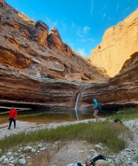
Chah Ramileh
A Historic Water Heritage Site in Southern Iran
- Attractions
- Bushehr, Bandar Deyr
- Altitude 60 m
- Ability level Beginner
Ability level:
Beginner
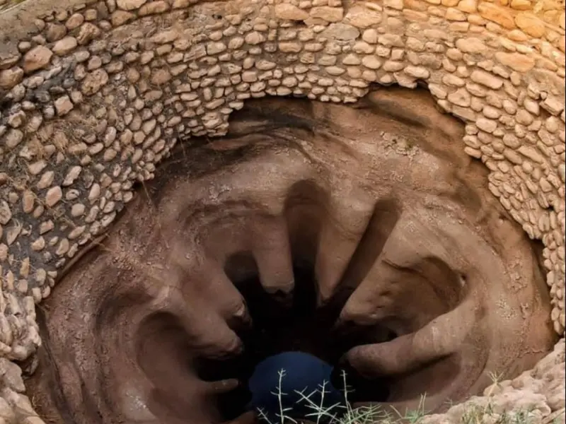
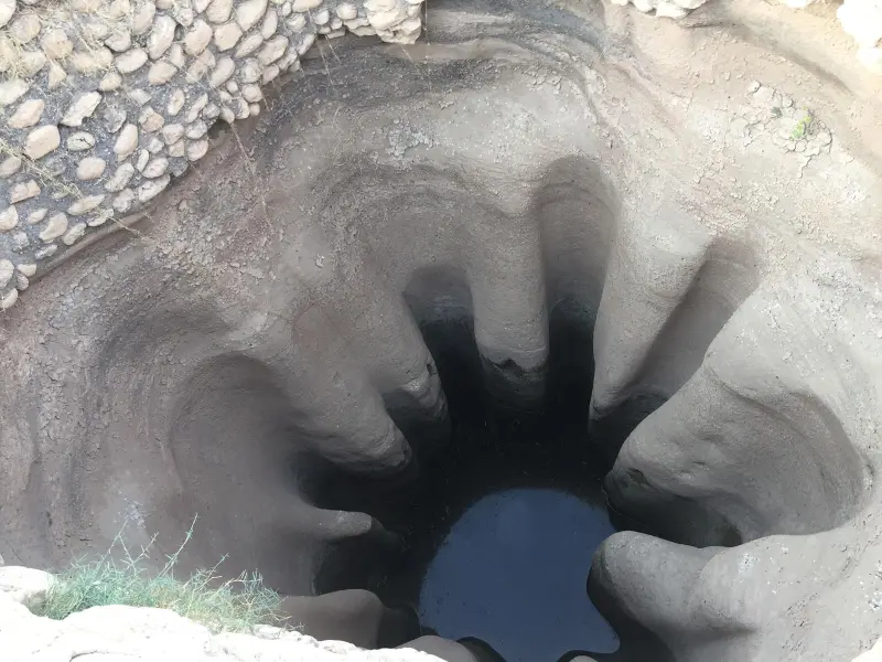
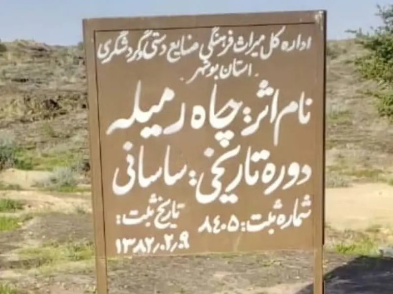
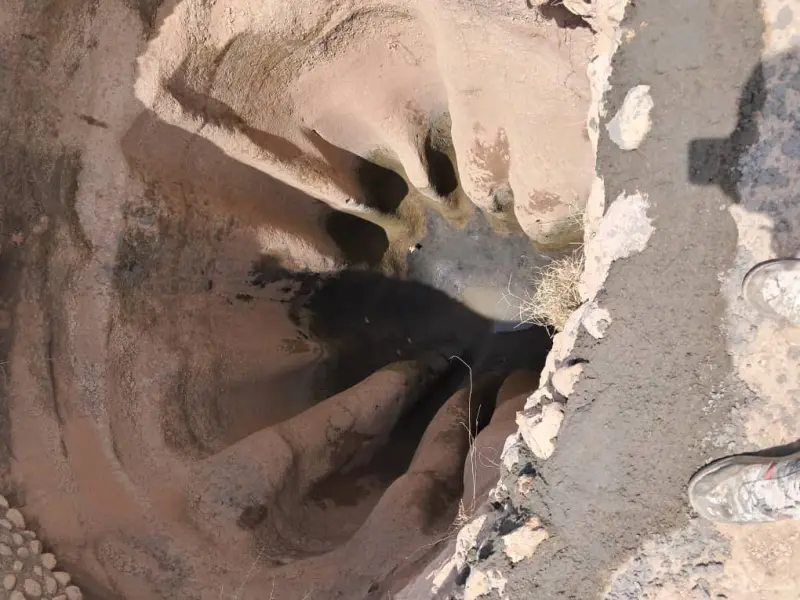
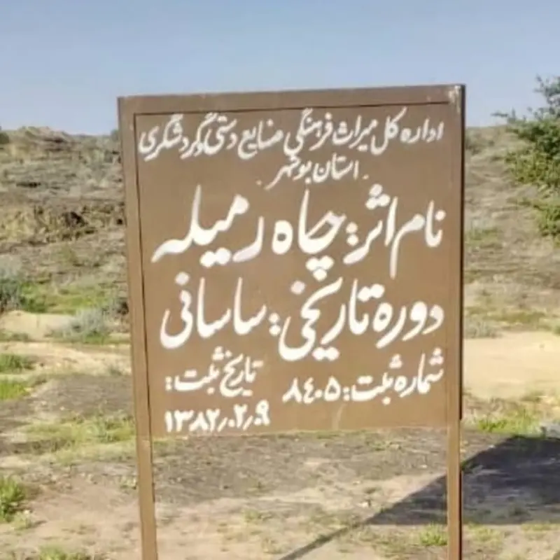
Chah Ramileh (Ramileh Well) is a valuable historic site in Bushehr Province, in Dayyer County, in the village of Khargooneh (Ahmadabad). It dates back to the Sassanid era. The well is registered on Iran's National Heritage List under registration number 8405 and is regarded as an example of the skill with which water resources were built and used in the past.
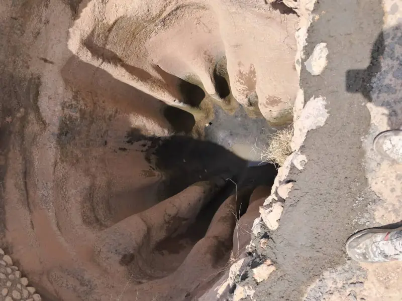
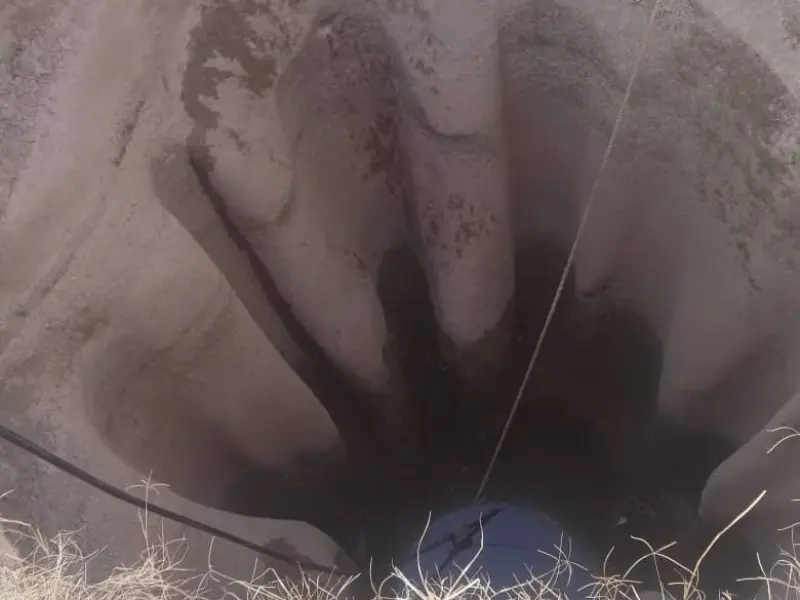
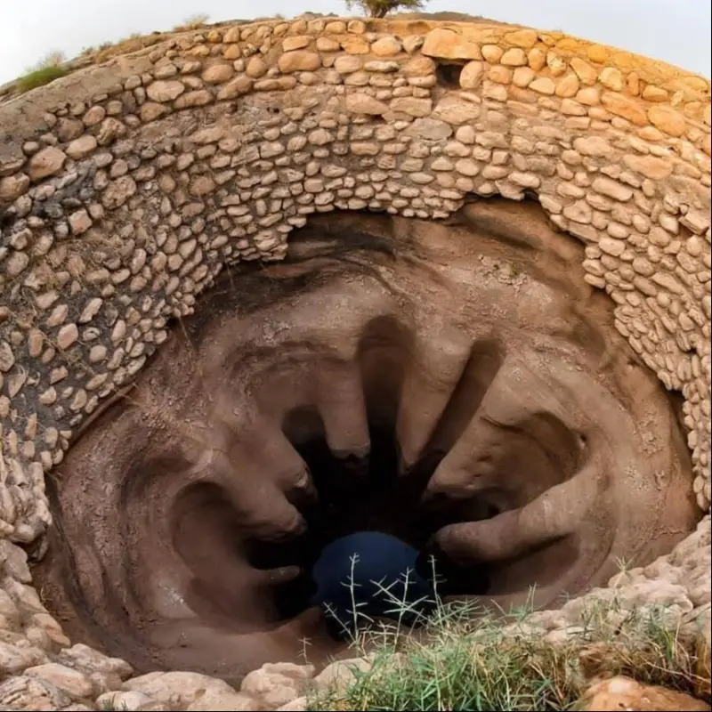
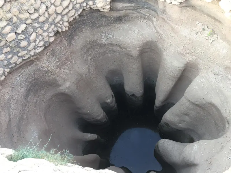
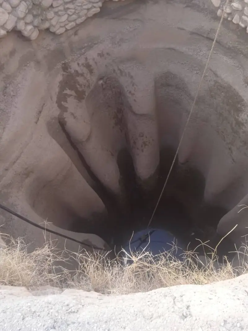
Chah Ramileh was dug into the rock of the mountain. Its oval shape and considerable depth reflect the architectural and engineering techniques of the Sassanid period. The area around the mouth of the well is lined with stone and sarooj (a traditional waterproof mortar), and the well has openings that let rainwater flow in. Openings on all four sides of the well allow rainwater to be channelled inside. Interestingly, the well is a vital source of drinking water for the people of Khargooneh: it is their only source of drinking water, and even centuries after it was dug, the local people still use this ancient well.
A visit to Chah Ramileh offers a chance to learn about historical methods of managing water resources in the arid and semi-arid regions of southern Iran. The site is reached mainly along local tracks in the village of Khargooneh, and official tourist facilities around it are limited, so it is advisable to bring suitable footwear and enough water. The best time to visit is during the mild seasons (autumn and winter), when the temperature is more comfortable for walking and sightseeing. Following the principles of responsible nature tourism is essential to protect this historic structure and its surroundings.
Written by زهرا لنگری Last updated
Activities
What you can do here, and what it takes
-
Walking
مسیرهای روستایی اطراف چاه برای پیادهروی و مشاهده معماری تاریخی مناسب است.
Specifications
Introduction of the location and specifications of Chah Ramileh
Location:
Bushehr, Bandar Deyr
Coordinates:
28.00229515, 51.71319569
Open in maps
Height above mean sea:
60 meter
Floras:
Semi-desert
Faunas:
Presence of Allergenic Insects, Presence of Herbivorous Animals
Transports:
Private car, Minibus, Bus
Tourist Attractions in Bandar Deyr
Attractions that are nearby

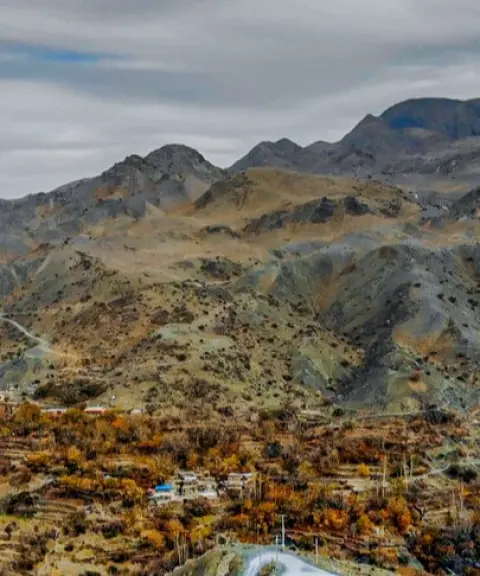
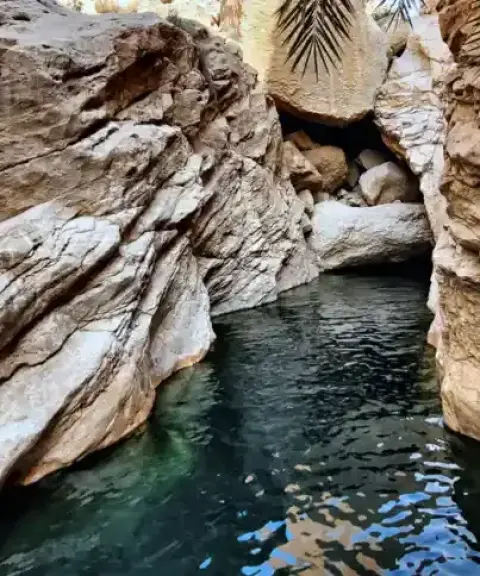

Tangeh Khosh
Province Bushehr
- Walking
- Canyoning
- Swimming
A pristine canyon with natural pools in the heart of Bushehr
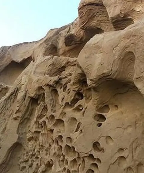

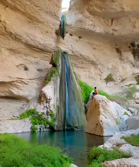
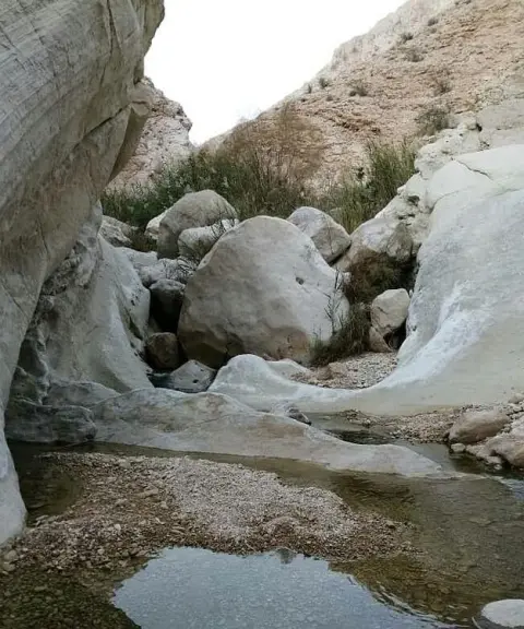
Tang-e Heykh
Province Bushehr
- Mountaineering
- Walking
- Swimming
- Rock Climbing
- Canyoning
A mysterious canyon between the rocks
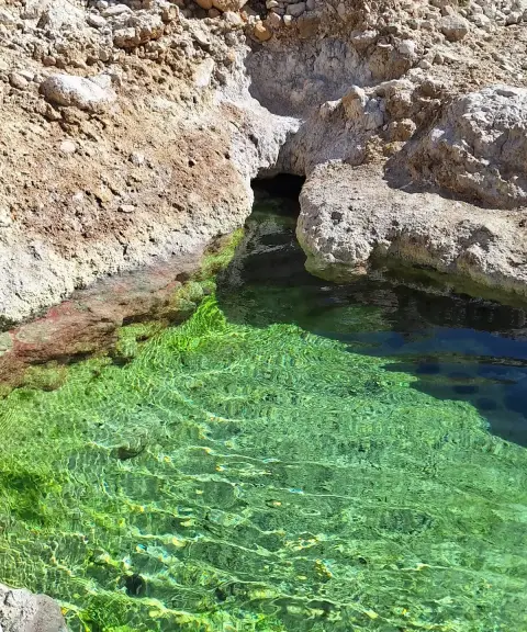

Makhu Hot Spring
Province Bushehr
- Walking
- Swimming
- Canyoning
A therapeutic spring in the heart of the warm south
Related tags:
Unfortunately, no comments have been registered.