
 Mountain
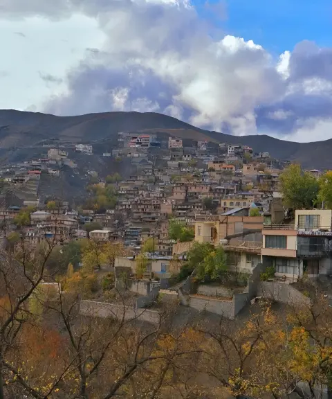

Kang Village
Province Razavi Khorasan
- Walking
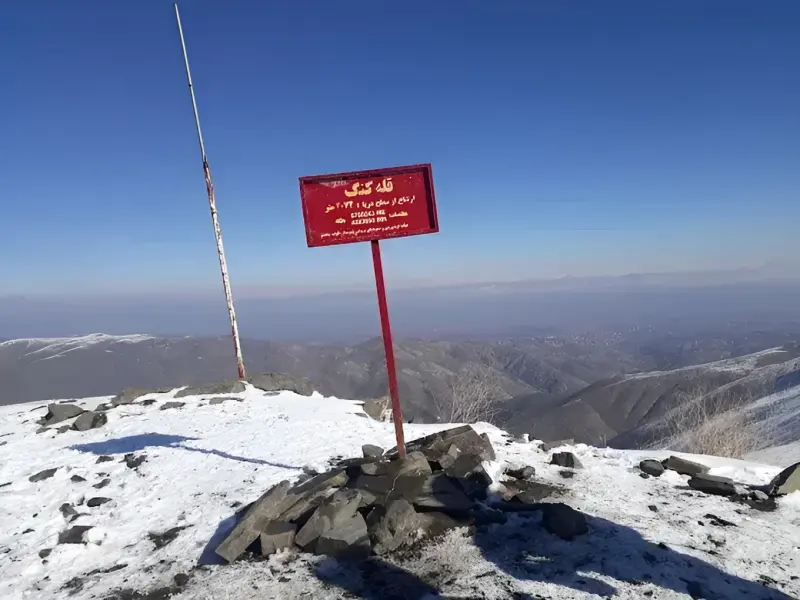
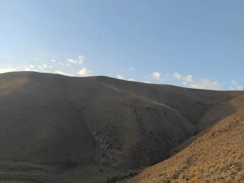
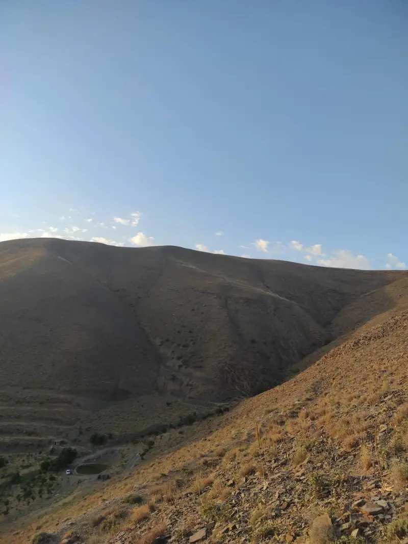
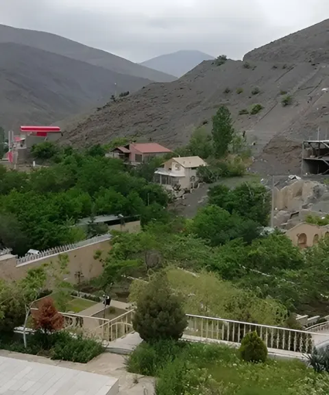
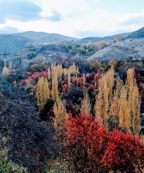
Kang Peak is located in Razavi Khorasan Province, in the Binalud mountain range, and is one of the most popular hiking destinations near Mashhad. The peak lies next to the historic summer village of Kang, a well-known terraced village near Torqabeh, about 30 kilometers from Mashhad. Thanks to its location, the route and the summit offer a mix of mountain scenery, deep valleys and views of the village.
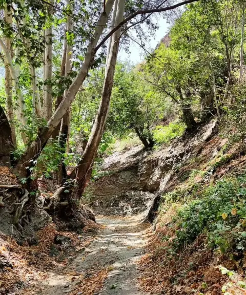
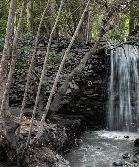
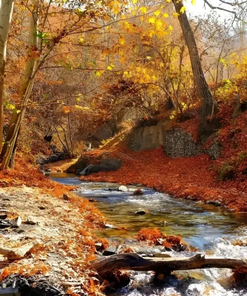
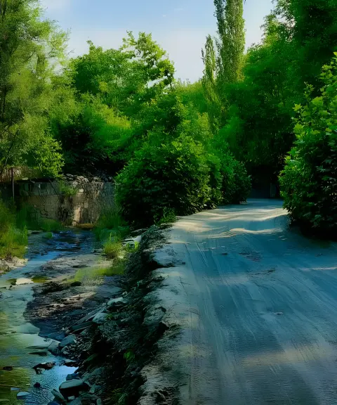
Because of its relatively easy access route, the peak is classed as easy to moderate and can be climbed by people of average fitness. The main route starts in Kang village and passes through orchard lanes, small valleys and natural trails. Along the way you will see a variety of landscapes, including valleys, springs and gentle mountain slopes, and the trail finally reaches the highlands between the villages of Kang and Zeshk. On some routes, continuing past natural springs and ponds makes for an appealing mountain nature-trekking experience.
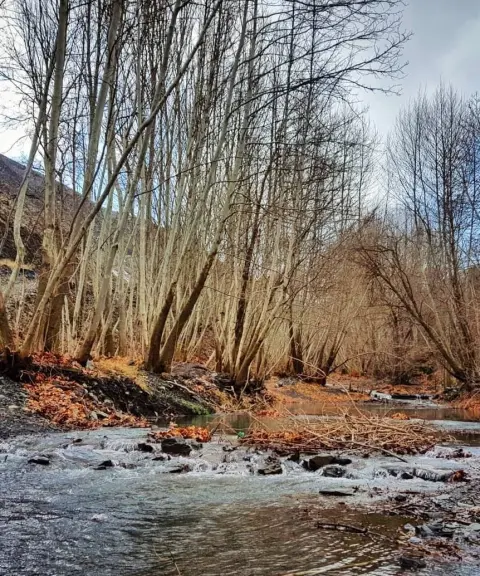
The best time to climb Kang Peak is from early spring to late autumn, when the weather is more stable and the routes are safer. In winter, because of the likelihood of ice and a slippery trail, the climb requires more complete equipment. Activities such as light hiking, nature photography, strolling through Kang village and mountaineering training are very common on this route. Following safety principles, carrying enough water, wearing suitable mountain footwear and bringing clothing suited to temperature changes are essential for this climb.
Written by ستایش عرب Last updated
What you can do here, and what it takes
مسیر روستای کنگ تا قله برای صعود سبک و نیمروز در طبیعت کوهستانی مناسب است.
مسیر این جاذبه مناسب برای دوچرخهسواری کوهستانی است.
Province Razavi Khorasan
Province Razavi Khorasan
Province Razavi Khorasan
Province Razavi Khorasan
Province Razavi Khorasan
Province Razavi Khorasan


Unfortunately, no comments have been registered.