
 Mountain
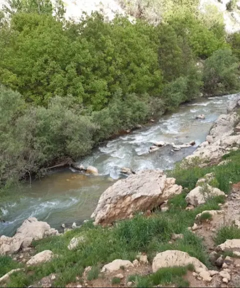

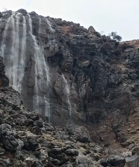
Kofi Gorge
Province Chaharmahal and Bakhtiari
- Swimming
- Walking
The High Roof of Chaharmahal and Bakhtiari
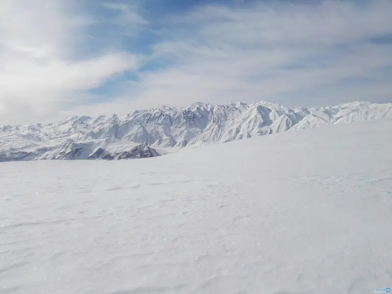
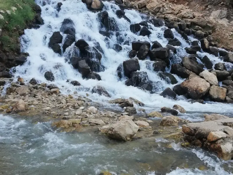
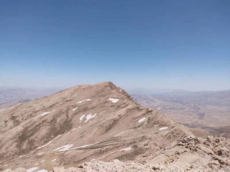
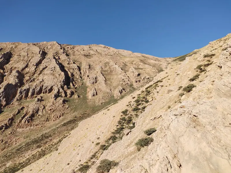
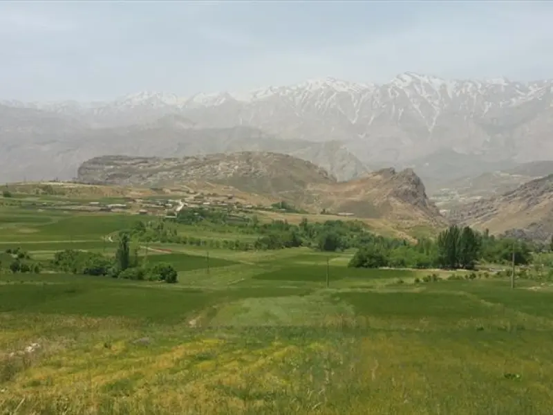
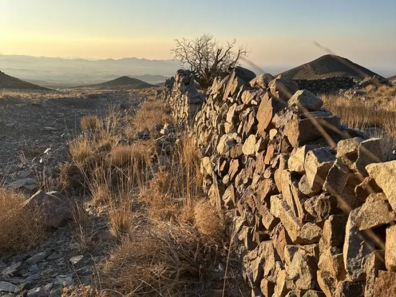
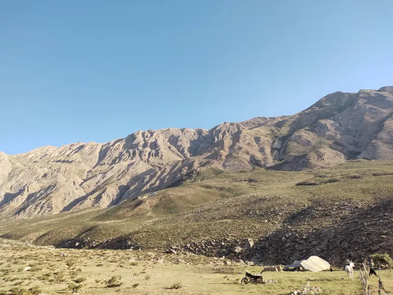
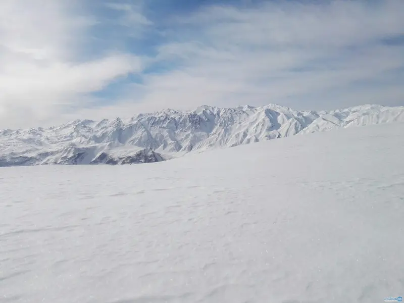
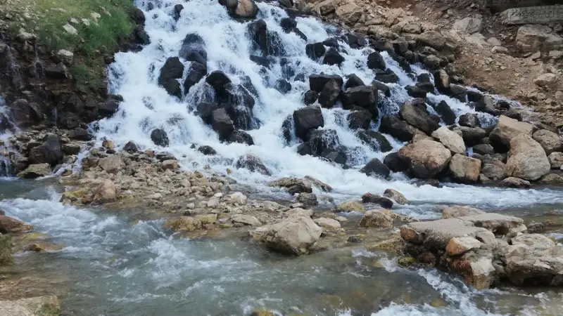
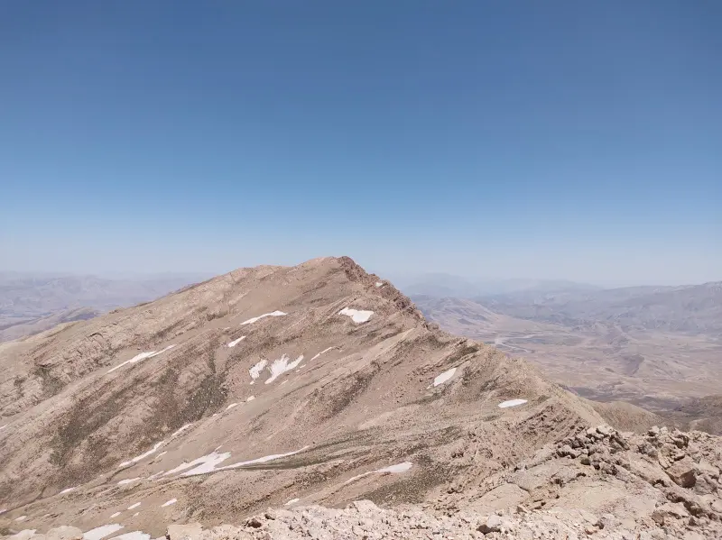
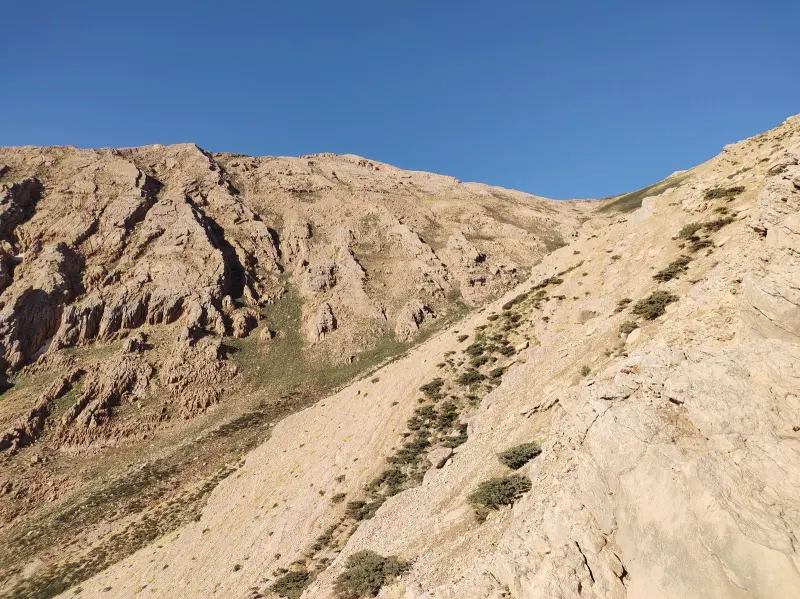
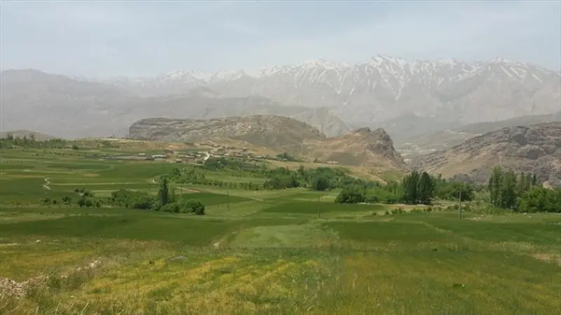
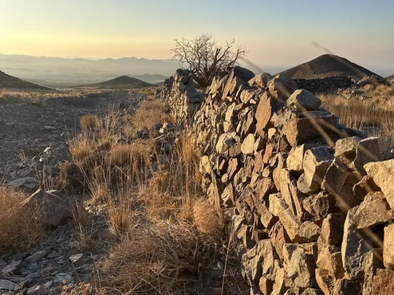
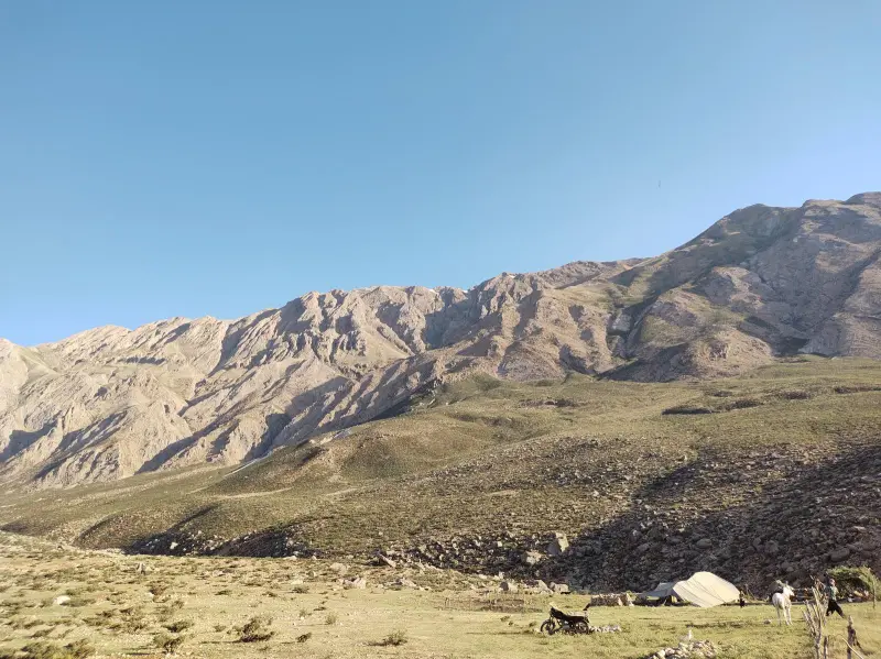
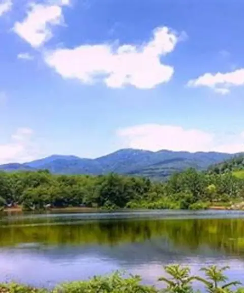
Continuing southeast from the Zardkuh range, beyond the Cheri Pass, a tall and imposing massif called "Mili" or "Meli" stretches out. It is part of the High Zagros zone, whose mountains run from northwest to southeast across the western half of Chaharmahal and Bakhtiari Province. Mount Mili lies roughly in the middle of these mountains. The massif sits between two counties, south of Koohrang County and northwest of Ardal County. The Mili massif has more than 30 peaks above 3,500 metres.
One of the most important things to keep in mind when climbing the Mili massif is the timing and the seasonal conditions. From early spring until about the middle of the season, the mountain carries heavy, deep snow that covers the northern and southern flanks of the peak, and conditions remain largely wintry. From mid-Tir (early July) onwards is a good time to climb this beautiful and unforgettable peak.
Written by زهرا لنگری Last updated
What you can do here, and what it takes
مسیر فقط مناسب برای دوچرخهسواران حرفهای کوهستان است.
تجهیزات لازم کوهنوردی را به همراه داشته باشید.
حدود 1.63 کیلومتر نیاز به پیادهروی دارید.
Province Chaharmahal and Bakhtiari
Province Chaharmahal and Bakhtiari
Province Chaharmahal and Bakhtiari
Province Chaharmahal and Bakhtiari
Province Chaharmahal and Bakhtiari
Province Chaharmahal and Bakhtiari
Province Chaharmahal and Bakhtiari


Unfortunately, no comments have been registered.