
 Mountain
- Ability level Intermediate
- Routes 1 recorded route
Ability level:
Intermediate
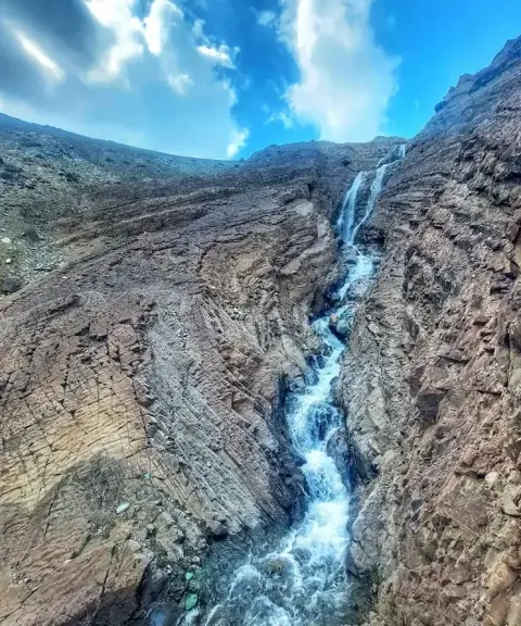
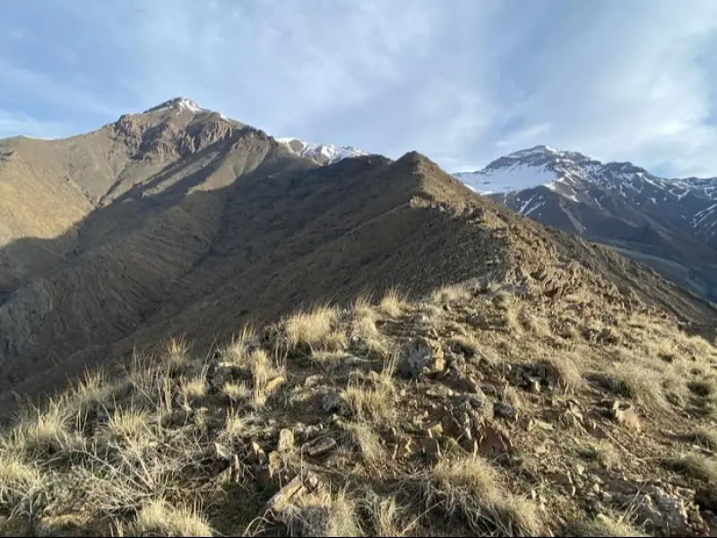
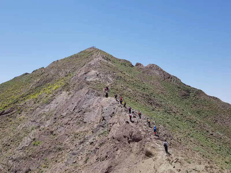
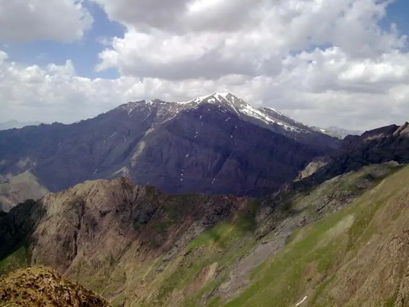
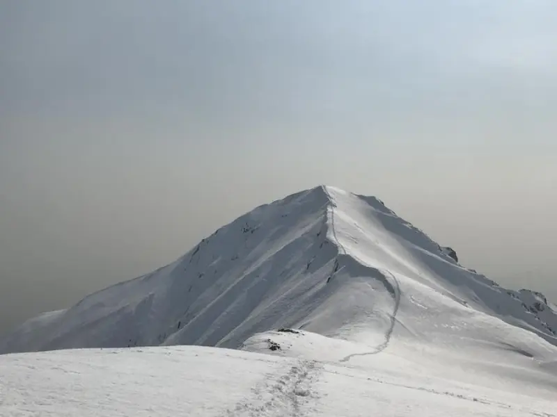
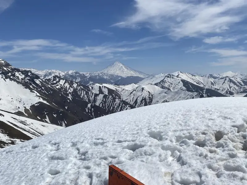
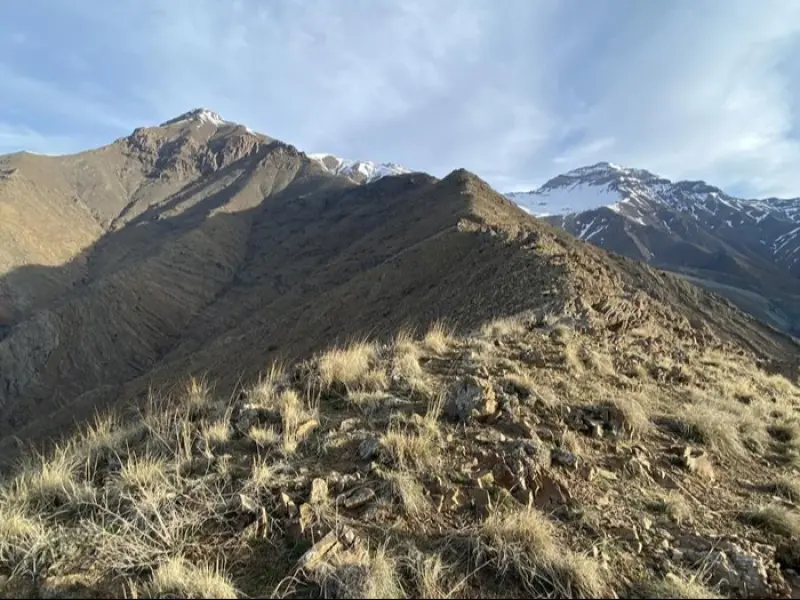
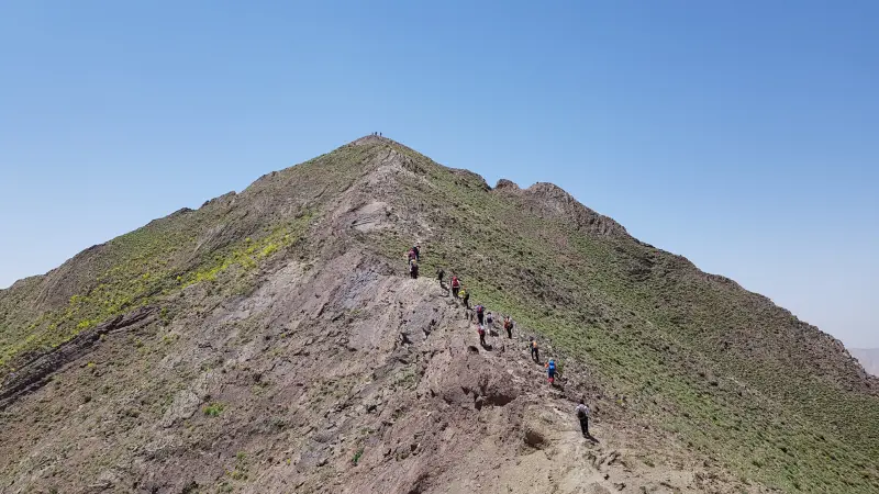
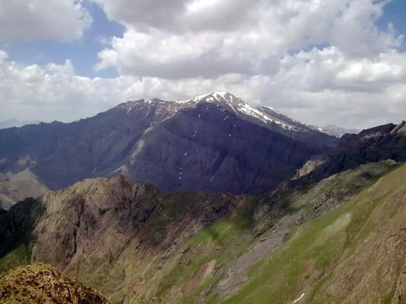
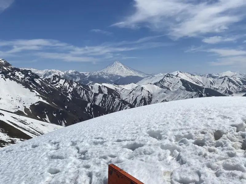
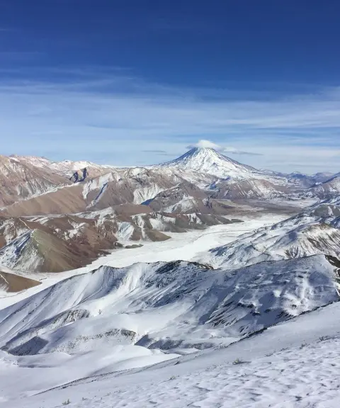
Saka Peak is one of the peaks of the Central Alborz, located in the Lavasanat area, in the highlands above Afjeh village. It is a popular destination for climbers and nature lovers from Tehran and the surrounding area. Saka Peak is part of the ridge leading to Atash-Kuh Peak, and thanks to its location and beautiful natural scenery, climbing it is an enjoyable experience for mountaineers.
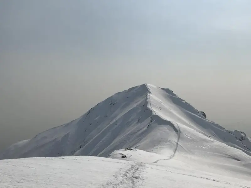
The climb to Saka Peak generally involves no technical difficulty and can be rated as moderate. The peak is similar to others of comparable height, such as Kolakchal, and is suitable for climbers with moderate experience. However, a winter ascent can be more challenging because of the risk of avalanches and the need to change route, and it requires more experience.
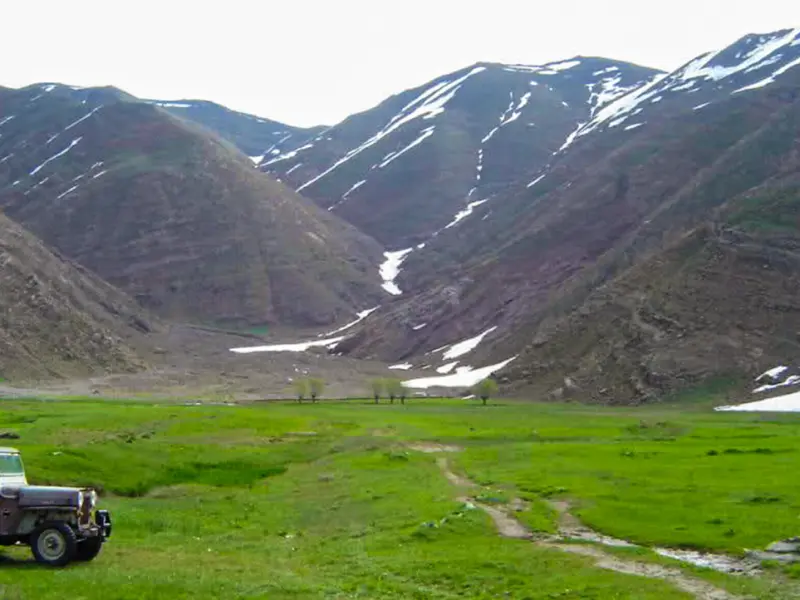
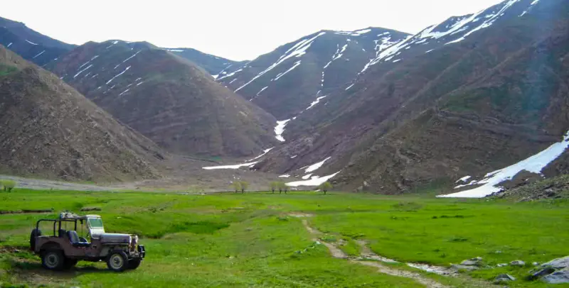
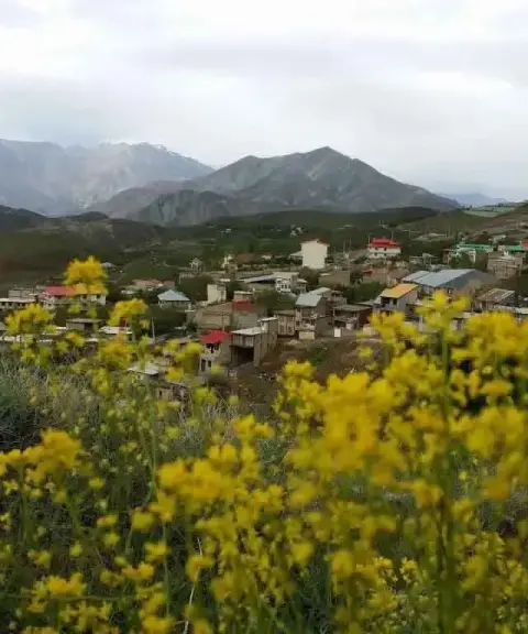
The route to this peak passes through fruit orchards and village lanes, and then reaches an area called Dasht-e Havij (Carrot Plain). The Lavasanat area and Dasht-e Havij are ideal places for mountaineering and nature tourism, thanks to their varied vegetation and beautiful scenery. Dasht-e Havij, one of the most important natural attractions of this region, draws many climbers and tourists with its wide, beautiful landscapes. In spring and summer, the plain is full of wildflowers and fragrant plants, creating a pleasant and wonderful atmosphere.
Written by زهرا لنگری Last updated
Activities
What you can do here, and what it takes
-
Mountaineering
لوازم کوهنوردی به همراه داشته باشید.
-
Cycling
مسیر فقط برای دوچرخهسواری حرفهای کوهستان مناسب است.
Specifications
Introduction of the location and specifications of Saka Peak
Location:
Tehran, Lavasan, Afjeh Village
Coordinates:
35.88500000, 51.67900000
Open in maps
Height above mean sea:
3328 meter
Faunas:
Presence of Predatory Animals, Presence of Herbivorous Animals
Transports:
Only with technical climbing equipment
Tourist Attractions in Tehran
Attractions that are nearby

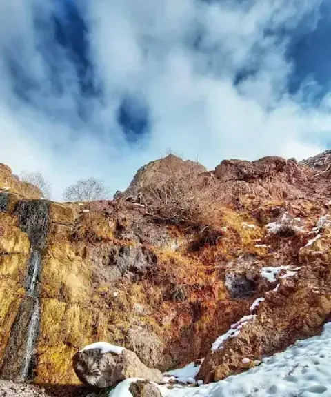
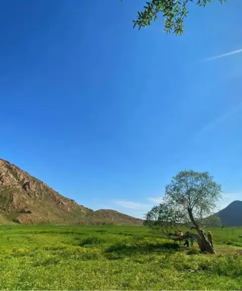

Hoveij Plain (Dasht-e Hoveij)
Province Tehran
- Walking
- Mountaineering
Pristine mountain nature in the heart of Lavasanat
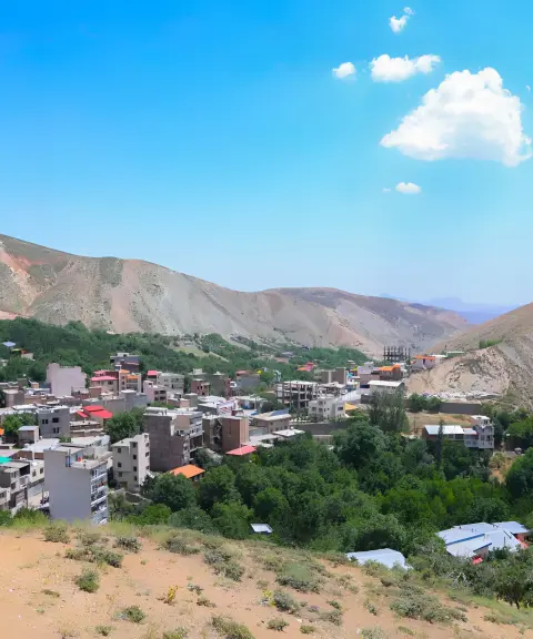

Kand-e Olya Village
Province Tehran
- Walking
- Mountaineering
A cool, green destination for nature tourism near Tehran
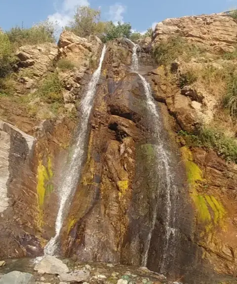
Paschavik Waterfall (Paskuhak)
Province Tehran
- Walking
- Mountaineering
A Green Jewel in the Heart of Lavasanat
Related tags:
Unfortunately, no comments have been registered.