
 Mountain
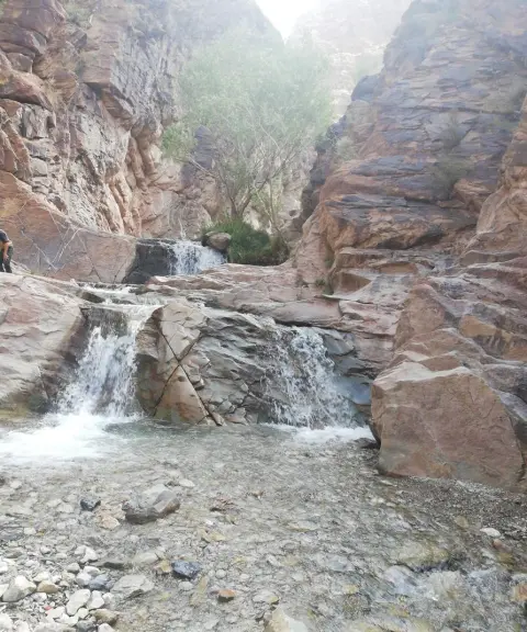

Sakanj Waterfall
Province Kerman
- Walking
- Swimming
- Canyoning
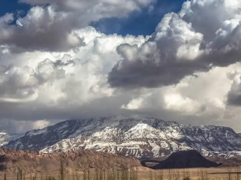
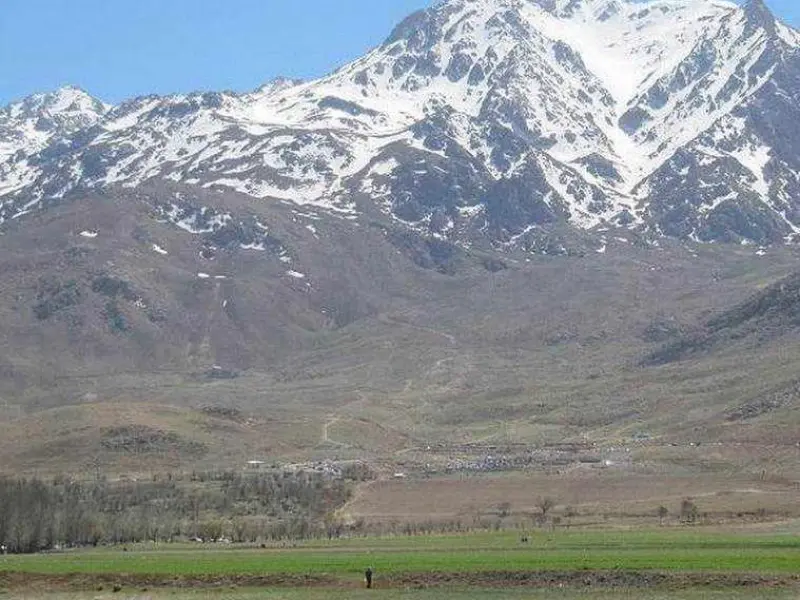
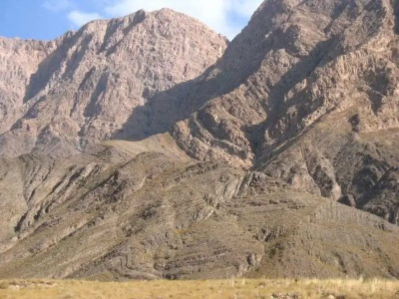
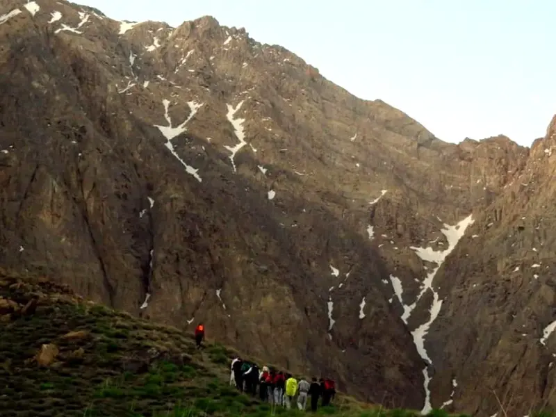
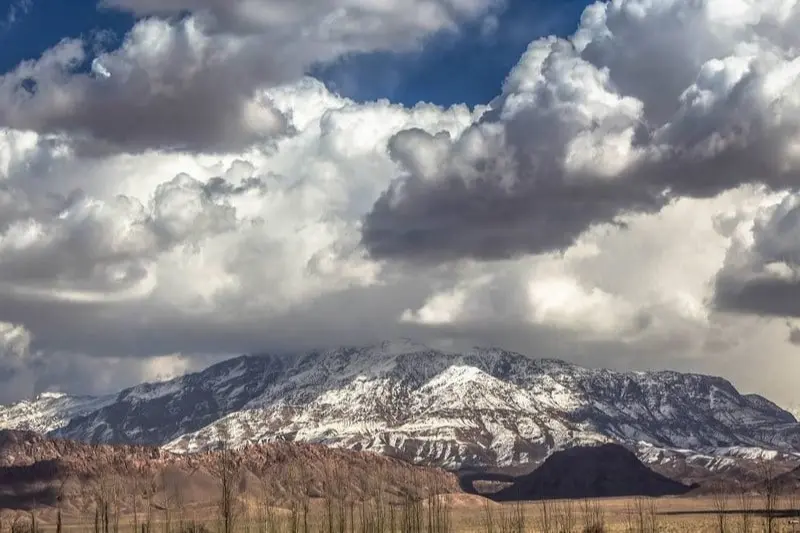
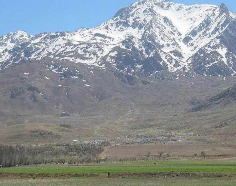
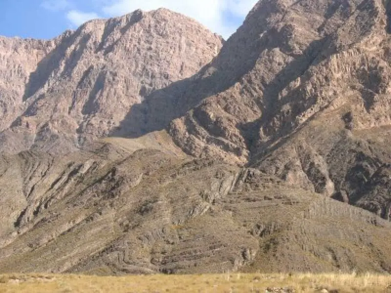
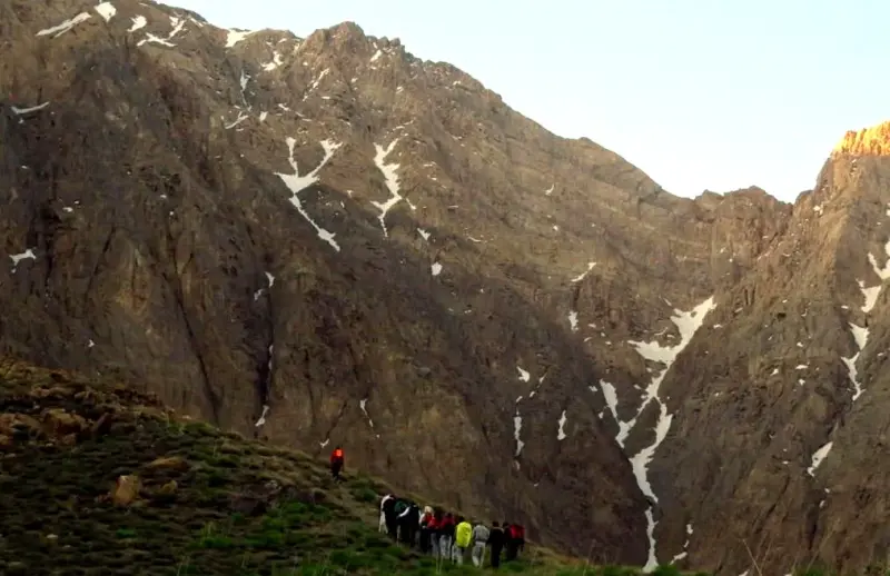
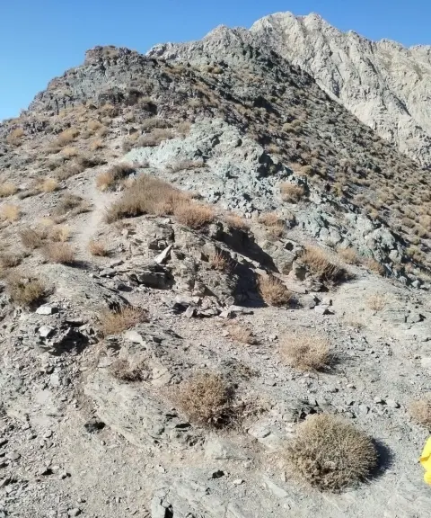
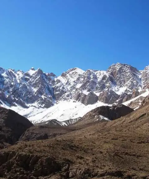
The Palvar mountain range, which like a wall separates the southern part of the Lut Desert from the interior regions of the country, stretches 147 kilometres from northwest to southeast and covers an area of 1,450 kilometres. The range consists of many mountains and peaks higher than 2,500 metres, and many villages lie on its slopes.
The highest peak of this range is called Mount Palvar, and it is located east of Mahan in Kerman Province. Among the most important mountains of the area are Golchin-e Shomali, Golchin-e Jonubi, Tal-e Zard, Tal-e Shurd, Joftan and Miankuh. Numerous rivers originate in this range. Some of them, after irrigating the villages, flow toward the Lut Desert and disappear in its sand dunes, while others flow westward and join the Shur River.
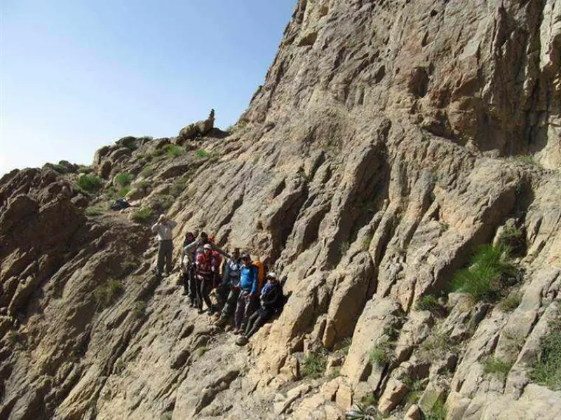
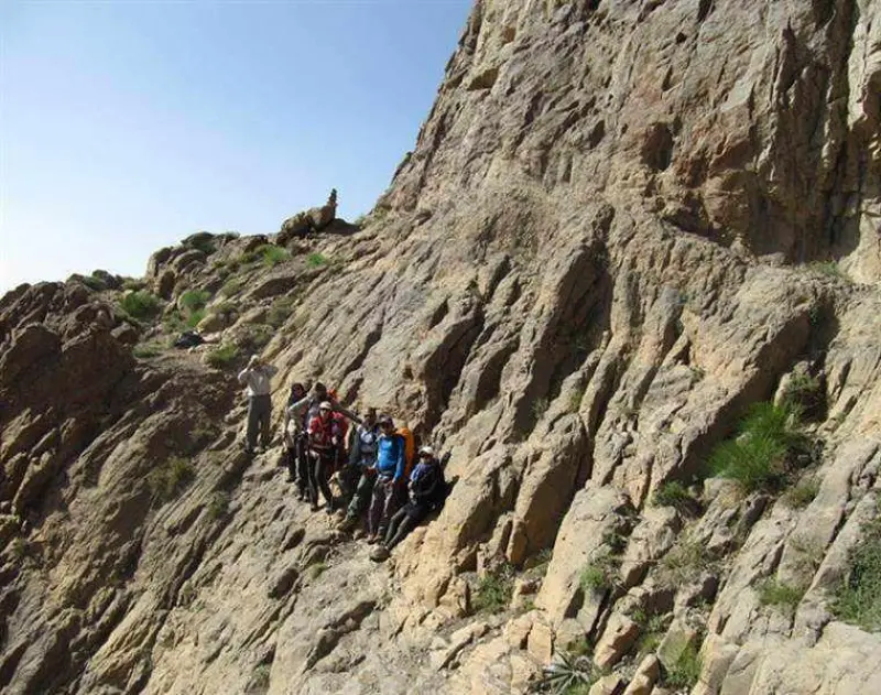
Palvar is the third most difficult and technical peak in Iran, and because of the difficulty of its ascent it is known as the Damavand of Kerman. Climbing it requires technical rock-climbing skills so that you can cross a section of the route called Pol-e Serat (the Sirat Bridge).
Written by زهرا لنگری Last updated
What you can do here, and what it takes
لوازم کوهنوردی به همراه داشته باشید.
Province Kerman
Province Kerman
Province Kerman
Province Kerman


Unfortunately, no comments have been registered.