
 Gorge
Tang-e Kharandaz
A passage through remote mountains
- Gorge
- Kohgiluyeh and Boyer-Ahmad, Yasuj
- Altitude 2,403 m
- Ability level Intermediate
Ability level:
Intermediate
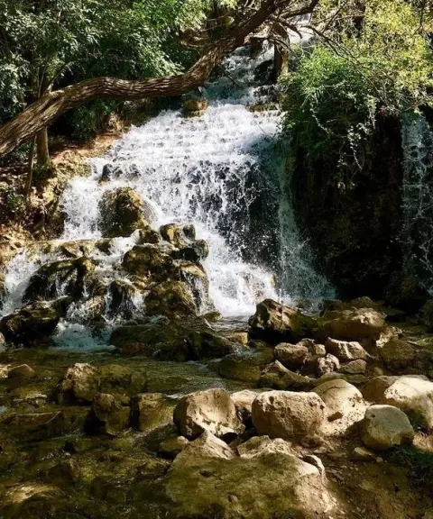
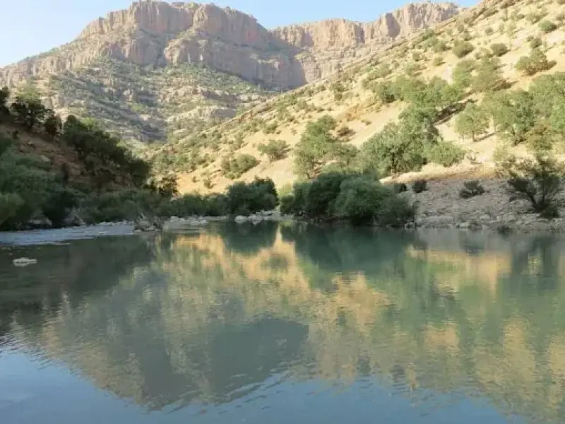
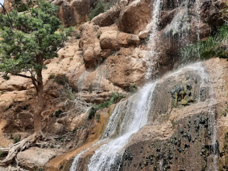
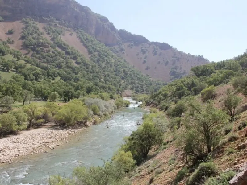
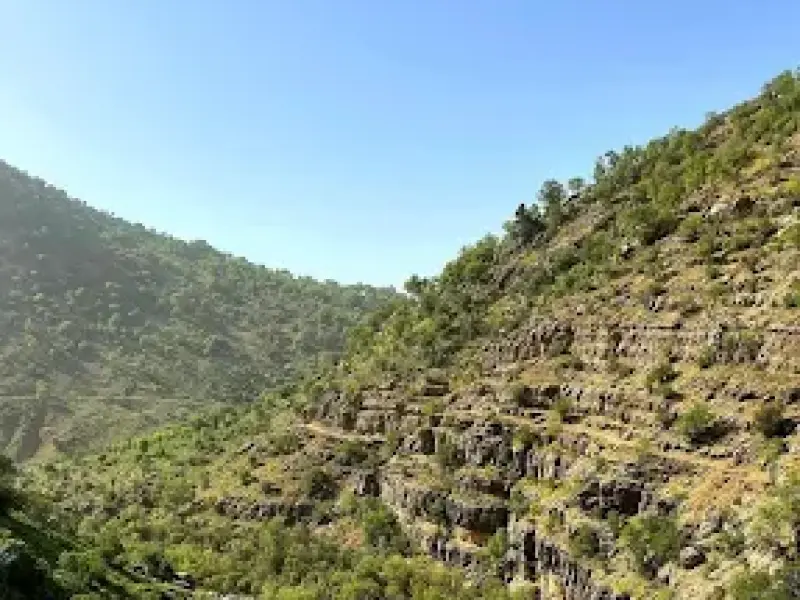
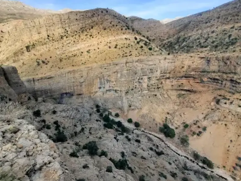
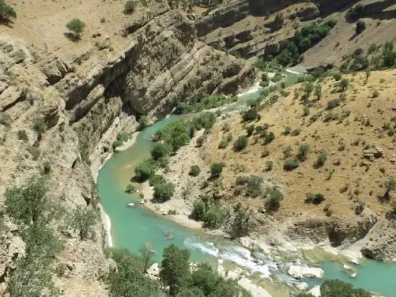
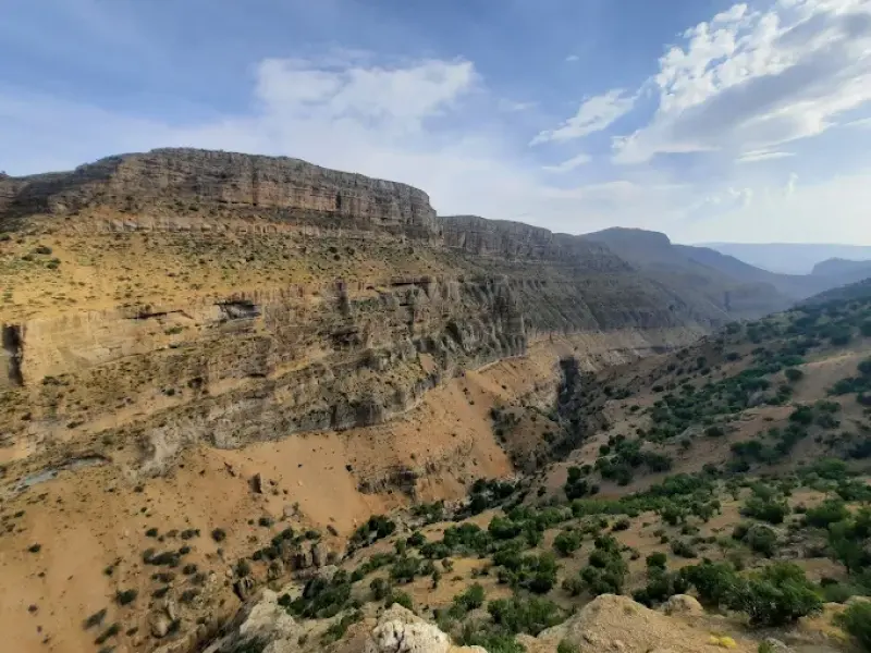
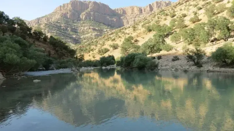
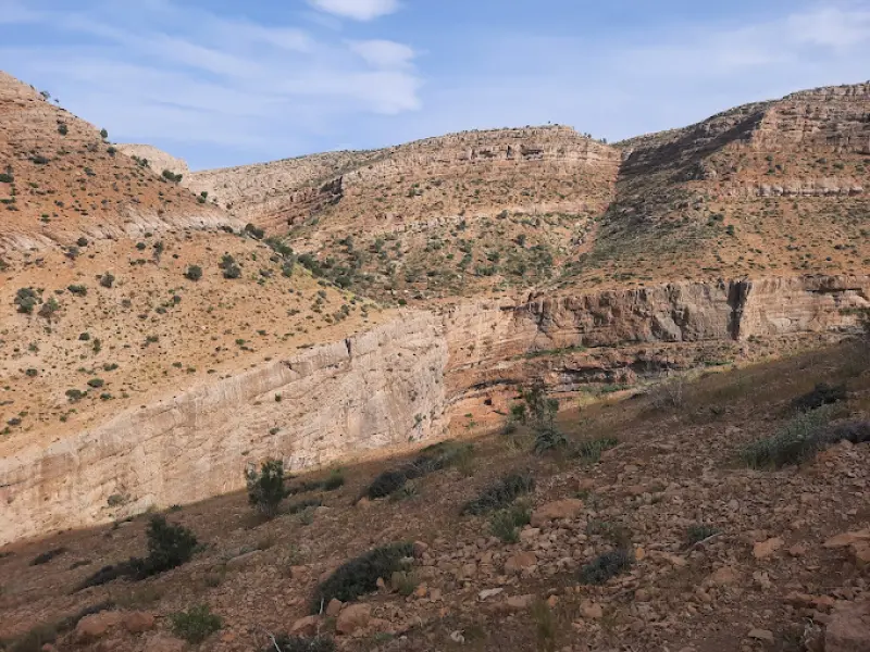
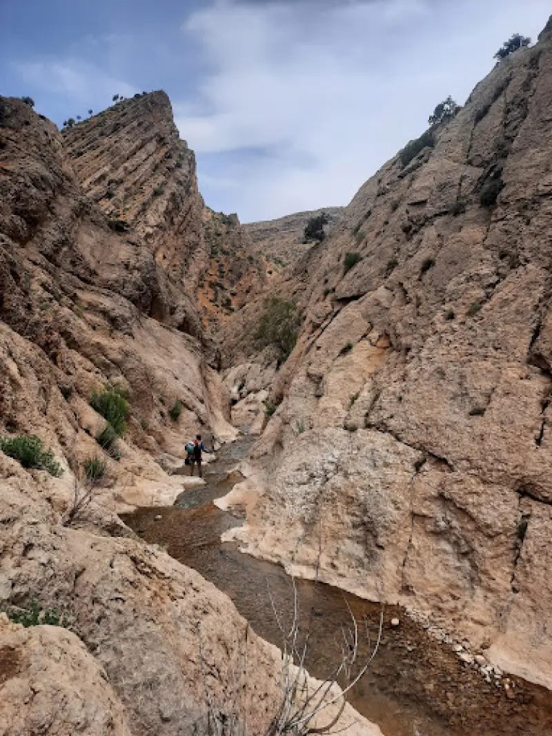
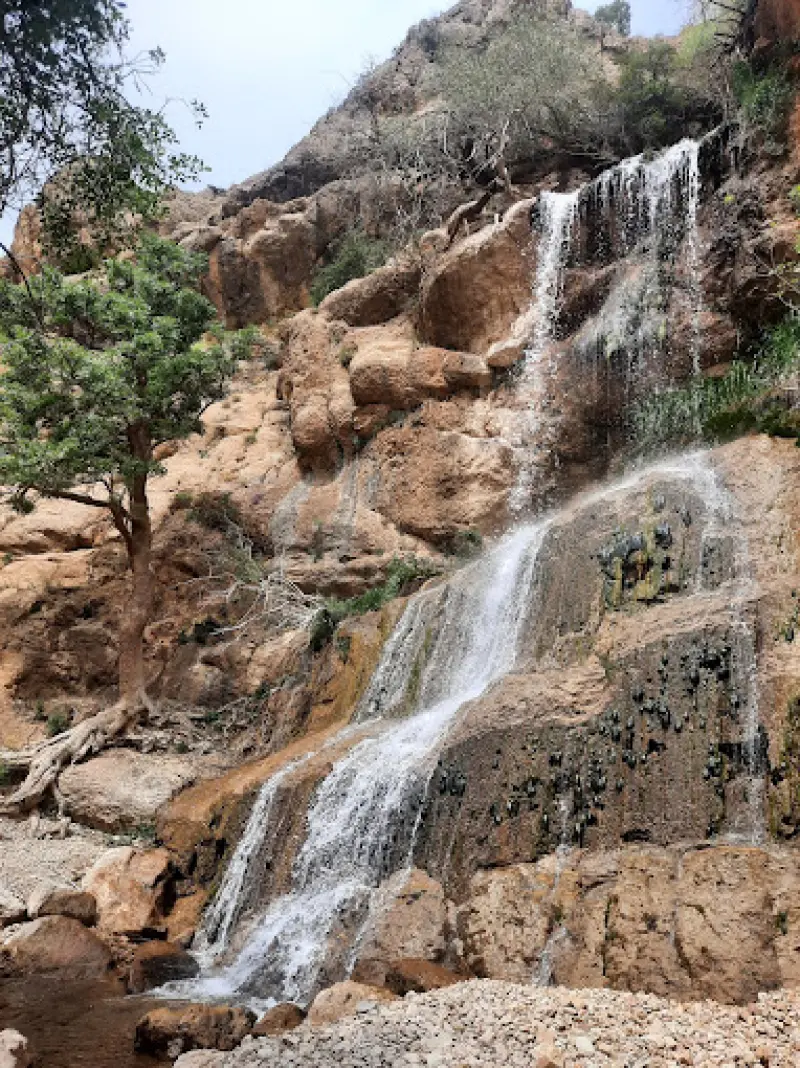
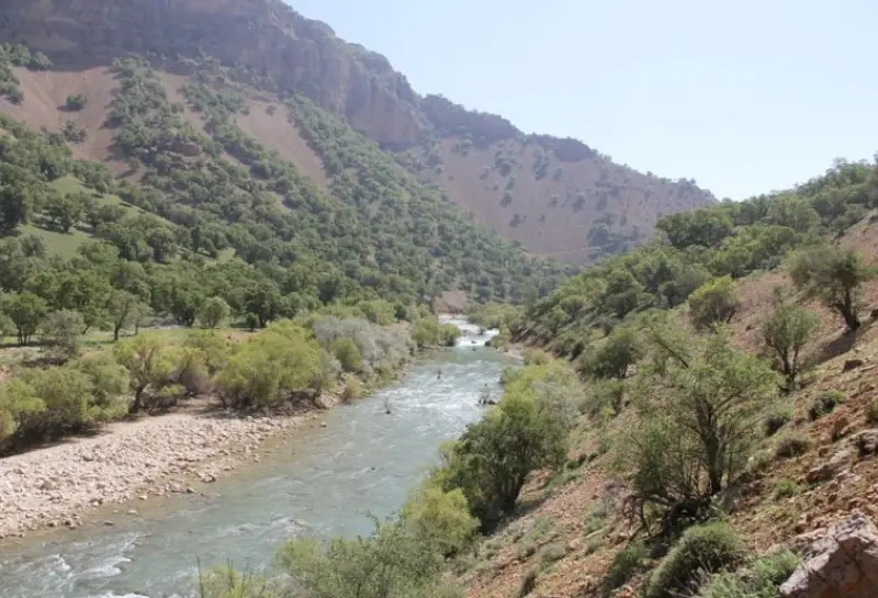
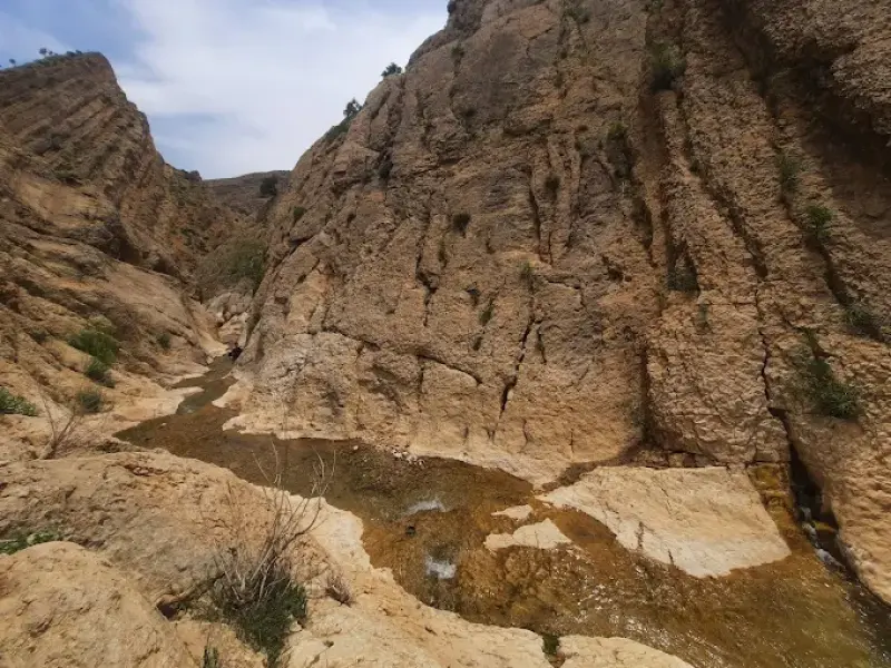
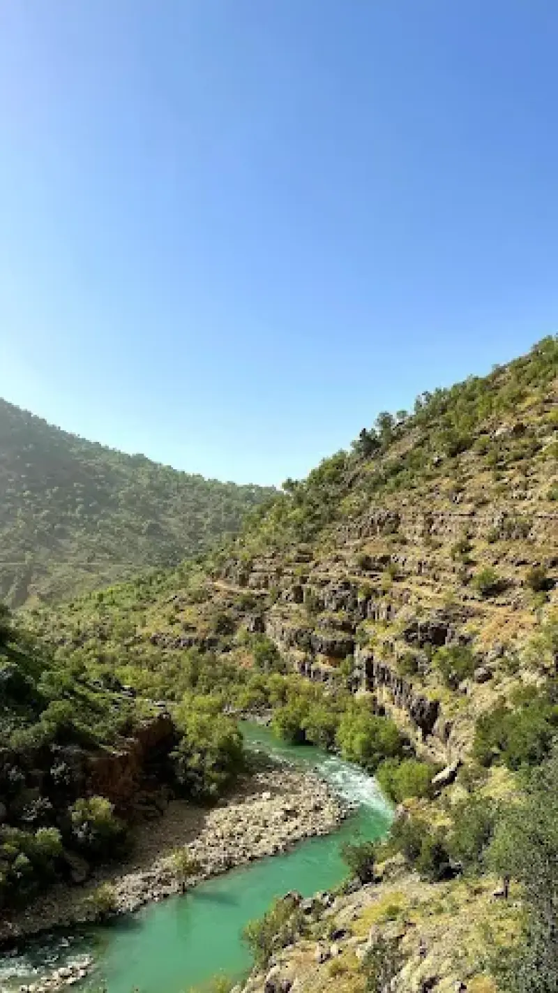
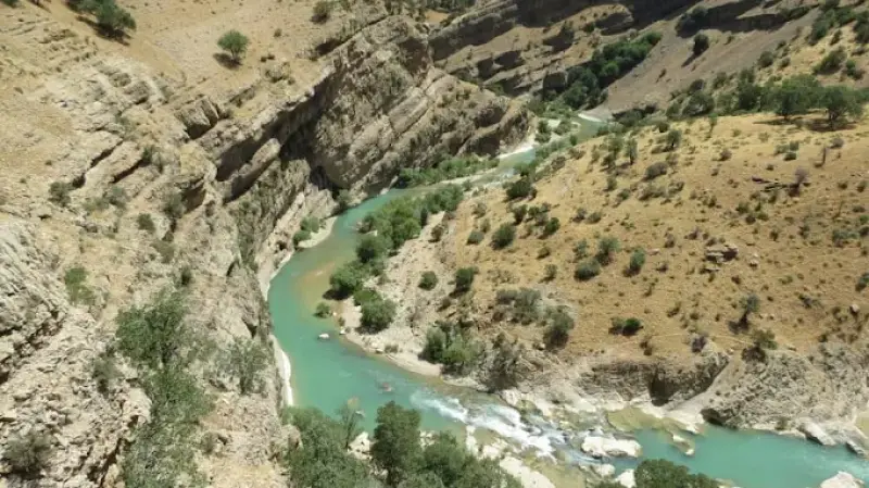
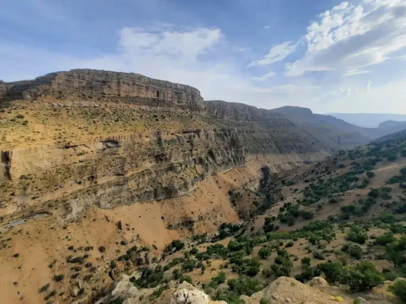
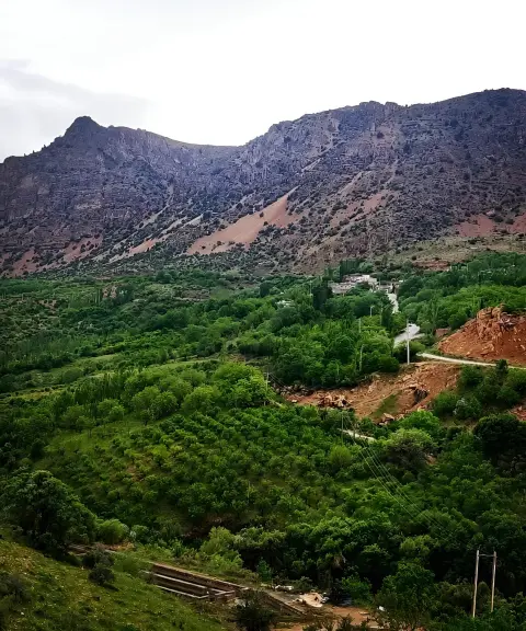
Tang-e Kharandaz (Khoram Naz) is a valley with a rushing river and lush, beautiful scenery, located between Sepidan and Yasuj, just past the Mahparviz Pass. With its diverse and distinctive vegetation, the area is home to many different kinds of plants. The local flora includes low thorny shrubs, artichoke-like thistles, wild lettuce, spurge and rangeland plants. Fortunately, because excessive livestock grazing has been stopped, the vegetation of the area has increased significantly, which has strengthened the local ecosystem. The trees of the area include wild almond, oak, wild pistachio (baneh), willow, pear and wild walnut, which double the beauty of the landscape. In addition, hawthorn, oleaster, hawthorn-leaved Persian buckthorn (arzhan) and wild plum (alouk) are also among the other trees found here.
Tang-e Kharandaz is a habitat for various species of birds and animals. Among the birds are several kinds of finches, wagtails, owls, woodpeckers and passerines. The animals of the area include bears, wild boars, wolves, jackals, hyenas, foxes, squirrels, hares and a variety of small mammals. Interestingly, a leopard was sighted in the area in 1996 (1375 in the Solar Hijri calendar), but there has been no news of it since. Such diversity of wildlife points to a healthy, balanced ecosystem that has been able to provide varied habitats for different species.
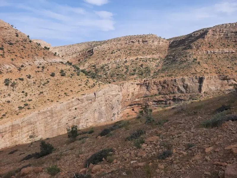
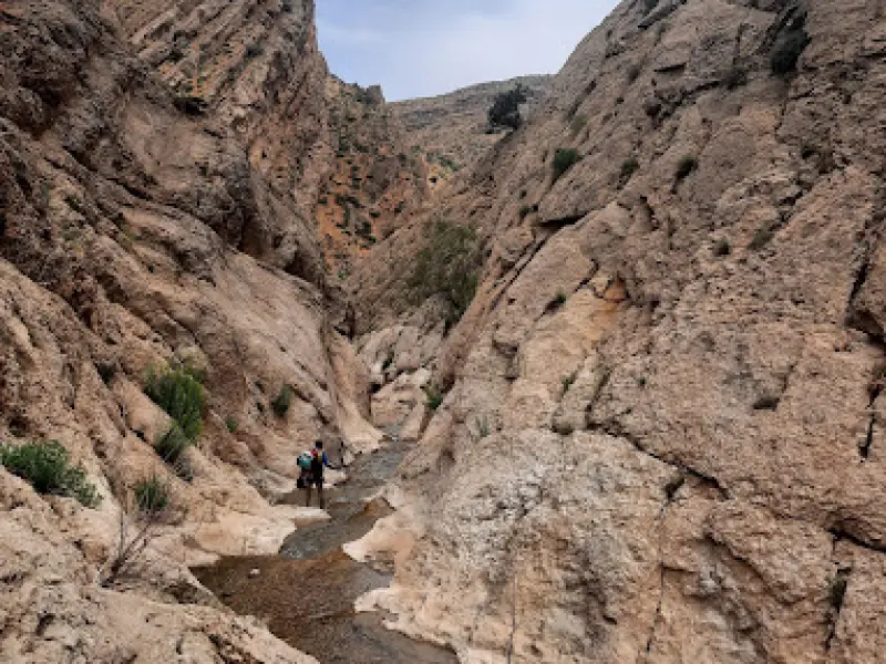
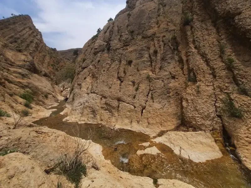
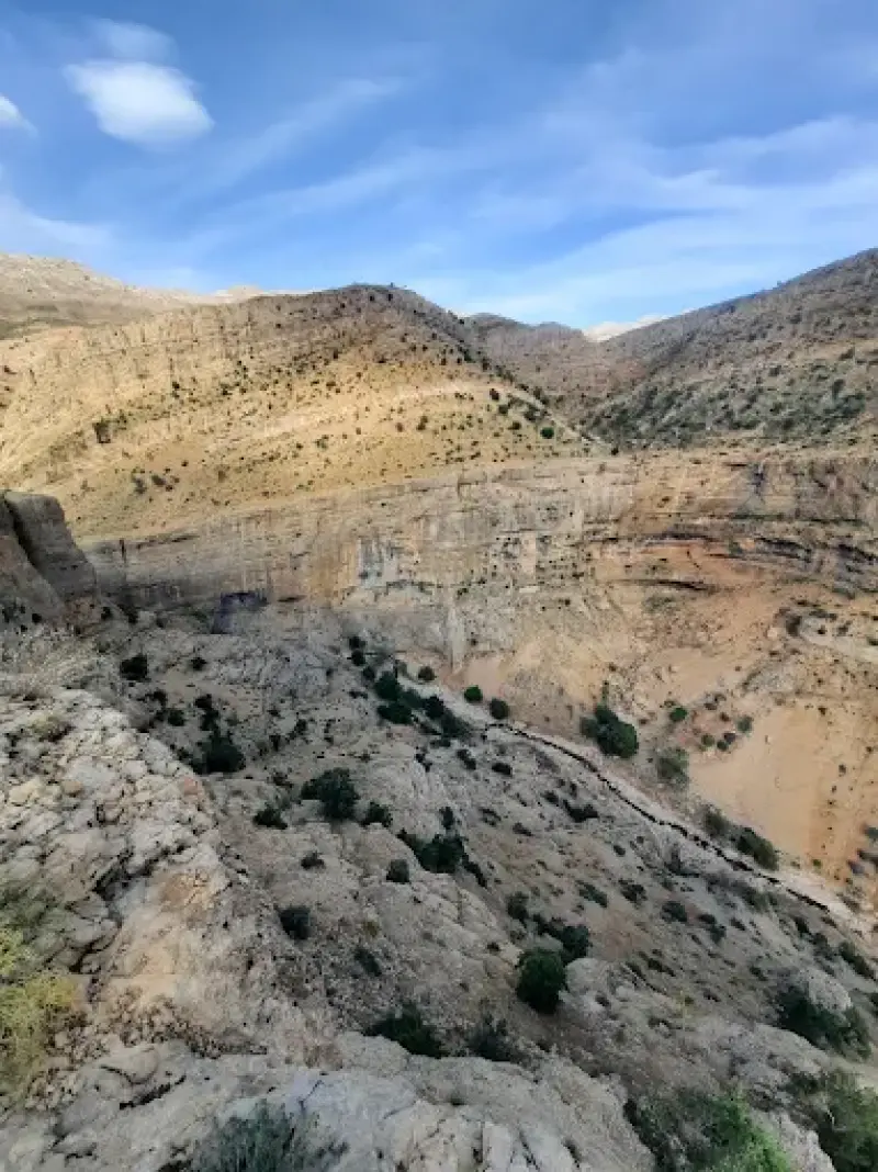
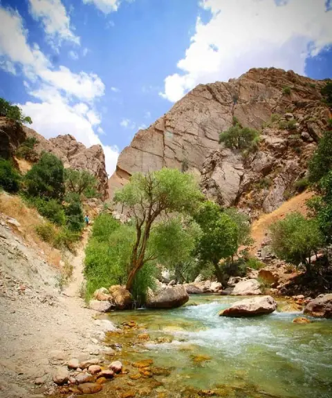
A permanent river flows through the area, whose headwaters pass through several gorges, such as Tang-e Tizab, Tang-e Boraq, Tang-e Sorkh and Tang-e Ganjeh-i. When the springs of Kharandaz join this river, the Beshar River is formed; it passes through Yasuj and, after joining the Zohreh River, reaches the Persian Gulf. With its continuous flow, this river plays a vital role in supplying the area's water resources. However, because of surface water erosion caused by factors such as excessive livestock grazing, ploughing along the slope and unsuitable irrigation methods, the quality of the usable soil in the area has declined. Surface erosion is seen especially in rainy seasons, and in many places light sediments indicate the activity of the river. Geologically, the rocks of the area belong to the Tertiary period and consist mostly of marl and bedrock. In this area there are faults, such as the Eslamabad Fault, that prevent water from seeping down and moving into the lower layers.
Written by زهرا لنگری Last updated
Activities
What you can do here, and what it takes
-
Mountaineering
تجهیزات کوهنوردی همراه داشته باشید.
-
Walking
کفش مناسب پیادهروی برای گشتوگذار از وسایل ضروری است.
-
Rock Climbing
بهتر است با ورزش صخرهنوردی کمی آشنایت داشته باشید.
Specifications
Introduction of the location and specifications of Tang-e Kharandaz
Location:
Kohgiluyeh and Boyer-Ahmad, Yasuj
Coordinates:
30.51749078, 51.68668266
Open in maps
Height above mean sea:
2403 meter
Floras:
Temperate Grasslands
Faunas:
Presence of Predatory Animals, Presence of Allergenic Insects, Presence of Herbivorous Animals
Transports:
Private car
Tourist Attractions in Kohgiluyeh and Boyer-Ahmad
Attractions that are nearby
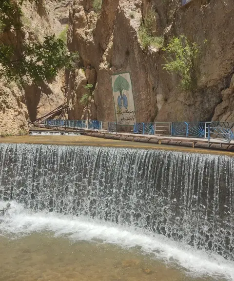

Yasuj Waterfall
Province Kohgiluyeh and Boyer-Ahmad
- Walking
- Swimming
A Green Paradise in the Heart of the Zagros
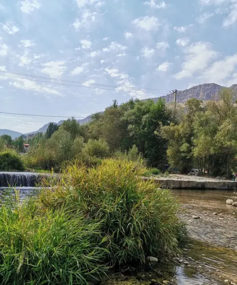
Tang-e Tizab
Province Fars
- Mountaineering
- Walking
- Swimming
- Rock Climbing
Sepidan's Paradise on Earth
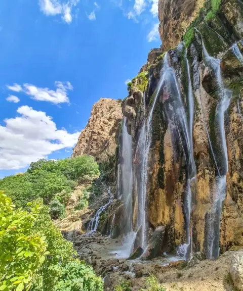
Margoon Waterfall
Province Fars
- Swimming
- Walking
- Caving
Iran's largest spring-fed waterfall, in the heart of the Zagros

Margoon Village
Province Fars
- Walking
A cool mountain summer retreat on the green slopes of the Zagros
Mehrian Gorge
Province Kohgiluyeh and Boyer-Ahmad
- Walking
- Mountaineering
- Swimming
A beautiful blend of plain, mountain and river
Unfortunately, no comments have been registered.