
 Valley
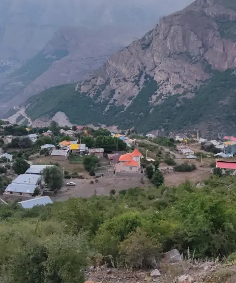

Siahbisheh Village
Province Mazandaran
- Walking
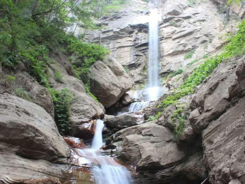
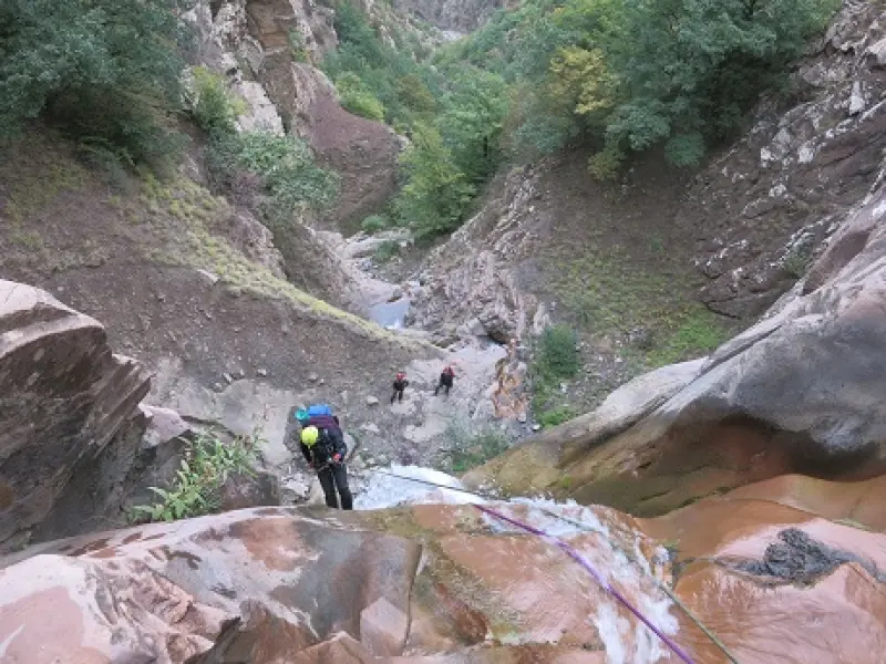
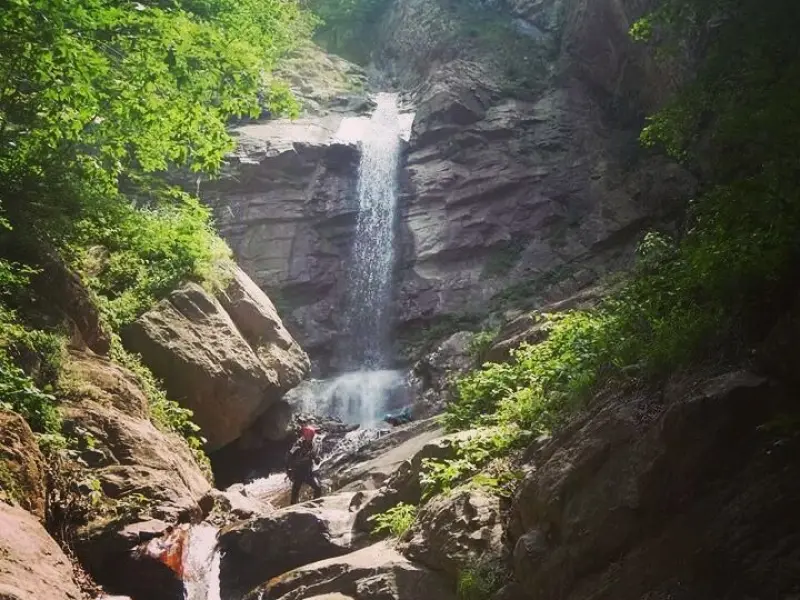
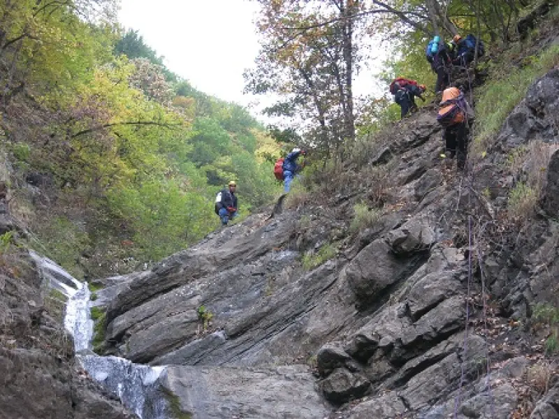
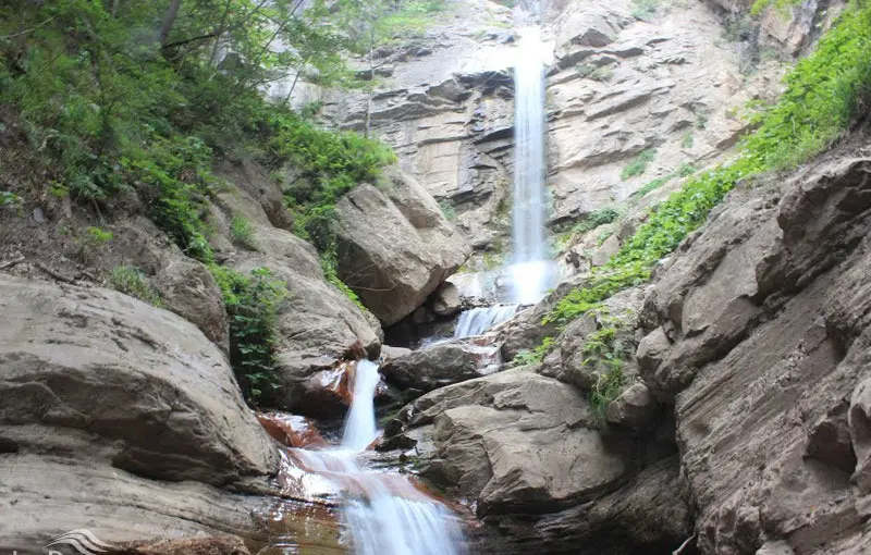
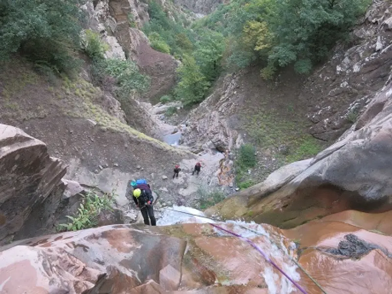
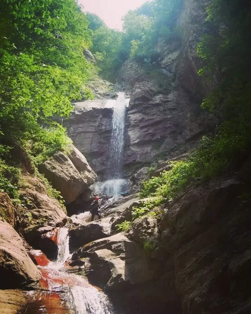
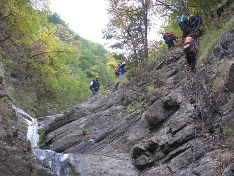
Komjal Valley is one of the most spectacular natural tourist attractions of Chalus. The valley starts at an altitude of 2,332 meters and ends at 1,348 meters above sea level. Traversing the beautiful Komjal Valley means passing about 30 waterfalls, which must be descended by rappelling with ropes. The valley has tall waterfalls between 20 and 60 meters high, mostly located toward the end of the valley, and the valley floor is full of water and slippery.
Komjal Valley is regarded as one of Iran's well-known technical canyons. It has been little more than a decade since its first descent, and the number of people interested in traversing it grows every year. Everyone who travels along the Chalus Road through the Hazarcham area sees the waterfalls of this valley in front of them, set in the heart of the forest.
There is only one flat, acceptable spot for resting and camping, which can hold about 10 to 18 people. The water in the valley is low and only reaches about calf height, except at the waterfalls where you have to descend through the flowing water. After you complete the last descent, a 50-meter walk brings you to the side of the Hazarcham road and the Sakhreh Restaurant. Keep in mind that escaping from the valley is very difficult and involves many dangers. The best season to visit Komjal Valley is summer, in the months of Tir and Mordad (late June to August).
Written by زهرا لنگری Last updated
What you can do here, and what it takes
کفش پیادهروی به همراه داشته باشید..
تجهیزات لازم کوهنوردی را به همراه داشته باشید.
بدون مهارت صخرهنوردی امکان پیمایش این دره نمیباشد.
Province Mazandaran
Province Mazandaran
Province Mazandaran
Province Mazandaran
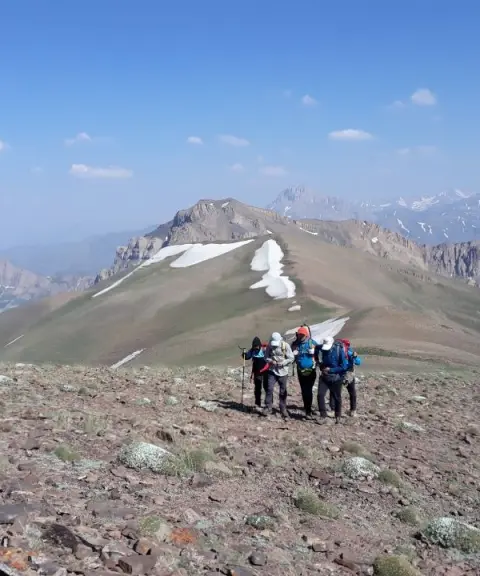
Province Mazandaran
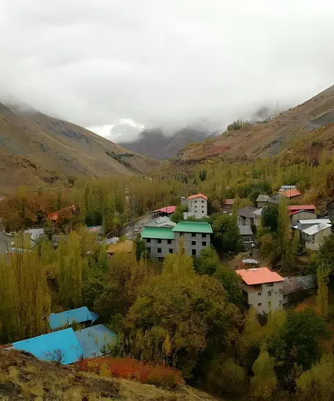
Province Alborz


Unfortunately, no comments have been registered.