
 Wetlands
- Ability level Intermediate
Ability level:
Intermediate
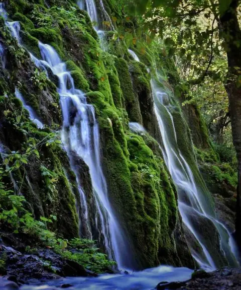
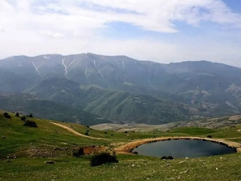
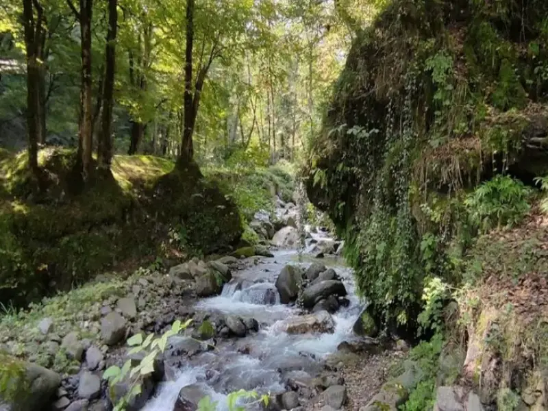
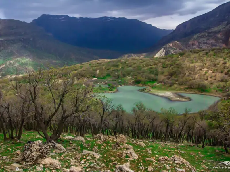
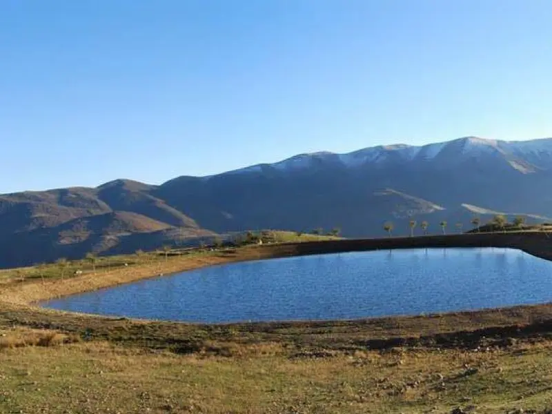
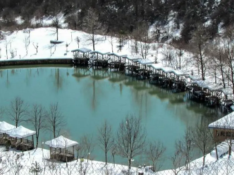
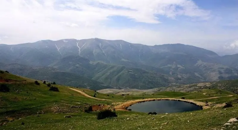
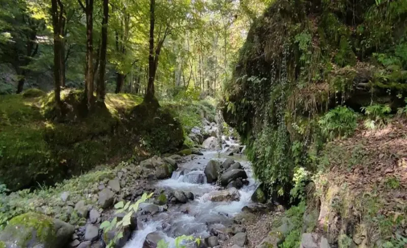
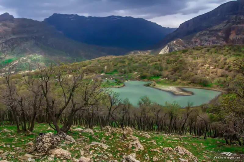
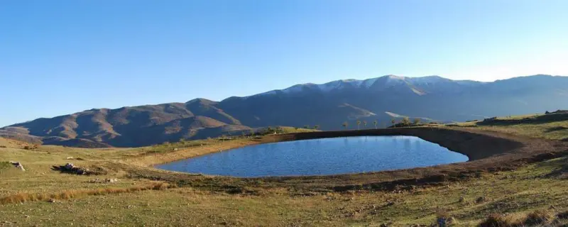
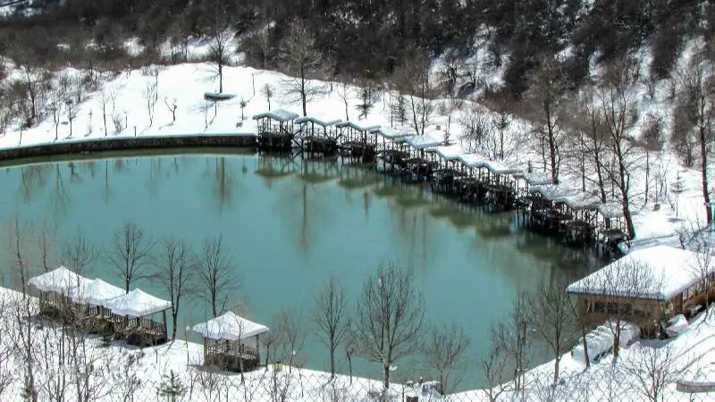
Sadva Wetland is one of the natural tourist attractions of Sari. This scenic spot lies in the southernmost part of Mazandaran Province, within the Alborz mountain range that stretches from west to east. It is located southeast of Sari and north of Semnan, in the area of Shahdezh Peak, where the humidity and coolness of the forest give way to the dryness of the Semnan desert. The humid, cool climate around the wetland, together with the surrounding forests, forms an exceptional setting, and walking and relaxing in its landscape is sure to be an excellent and memorable experience.
Shahdezh Peak is in itself one of the most important attractions near the wetland, and from the Semnan side you can easily head toward the summit. The slopes of this peak are covered with forest up to an altitude of 2,500 metres, and at the crown of the peak, its white, gleaming southern rock face shines in the bright mountain sun like a brilliant jewel set on emerald velvet. A little below the forest you can see farmers' fields and lush pastures where herders' flocks live. Clear, cool springs flow in every corner of the slopes of this area, and they are counted among the sources of the Tajan River.
Five kilometres across from Shahdezh Peak stands the 2,881-metre Chaharnow mountain range, its slopes covered with ancient forest. This range forms the border between Mazandaran and Semnan provinces. Between the Shahdezh and Chaharnow ranges, which together form a deep, wide valley, lie the villages of Paeendeh, Ghaleh, Tilebon, Vavsar and Baladeh. The Sadva Spring is located above the village of Baladeh, on the slopes of Shahdezh Peak, and its water is used as the village's drinking supply. The climate of the area and the location of the wetland make this beautiful landscape attractive and enjoyable in every season of the year. Even so, spring, followed by summer, is the peak of the area's beauty and its tourist season, and these are the most popular times to visit the wetland.
Written by زهرا لنگری Last updated
Activities
What you can do here, and what it takes
-
Walking
به دلیل کوهستانی بودن این منطقه امکان کوهنوردی در قلههای اطراف وجود دارد.
-
Mountaineering
امکان کوهنوردی در قلههای اطراف وجود دارد.
Specifications
Introduction of the location and specifications of Sadva Wetland
Location:
Mazandaran, Sari, Chahardangeh District
Coordinates:
36.09370000, 53.37340000
Open in maps
Height above mean sea:
1372 meter
Floras:
Temperate Broadleaf and Mixed Forests
Faunas:
Presence of Predatory Animals, Presence of Allergenic Insects, Presence of Herbivorous Animals
Transports:
Private car
Tourist Attractions in Mazandaran
Attractions that are nearby


Bola Protected Area
Province Mazandaran
- Mountaineering
- Walking
A reservoir of life and natural tranquility
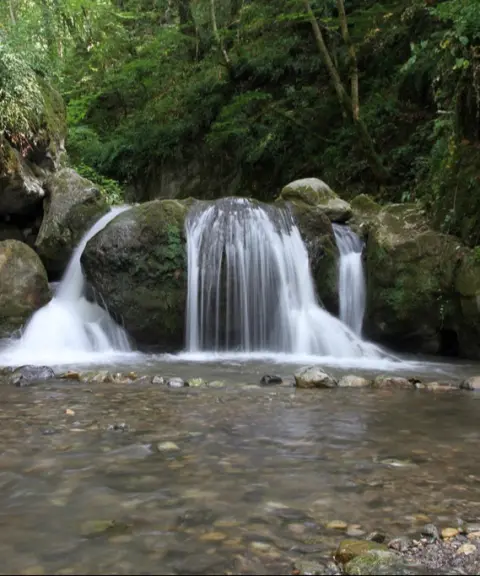

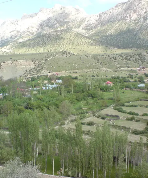

Malade Village
Province Semnan
- Walking
- Mountaineering
A summer pasture village with a historical background
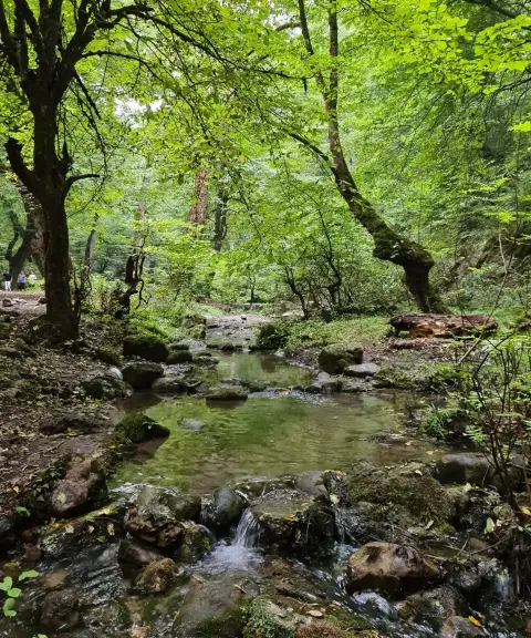

Vargineh Va Spring
Province Mazandaran
- Walking
- Swimming
A therapeutic spring in the heart of the Hyrcanian forests of Dodangeh
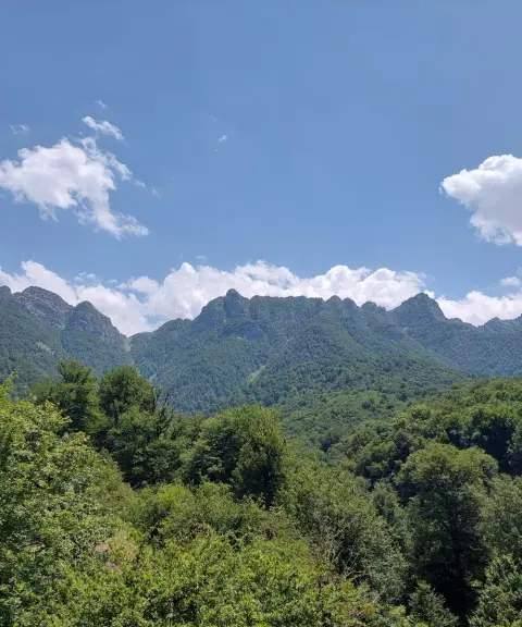

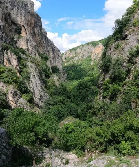

Ergat Valley
Province Mazandaran
- Mountaineering
- Caving
A beautiful valley on the northern slopes of the Alborz Mountains
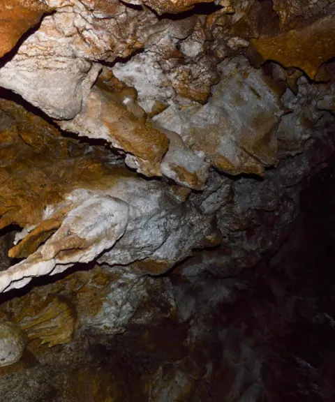

Sivarz Cave
Province Mazandaran
- Walking
- Caving
A mysterious cave in the heart of the forests of northern Iran
Related tags:
Unfortunately, no comments have been registered.