
 Mountain
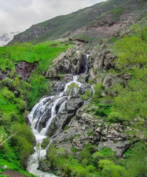

Mij Waterfall
Province Mazandaran
- Walking
- Swimming
A peak on the main ridgeline of the Alborz Range
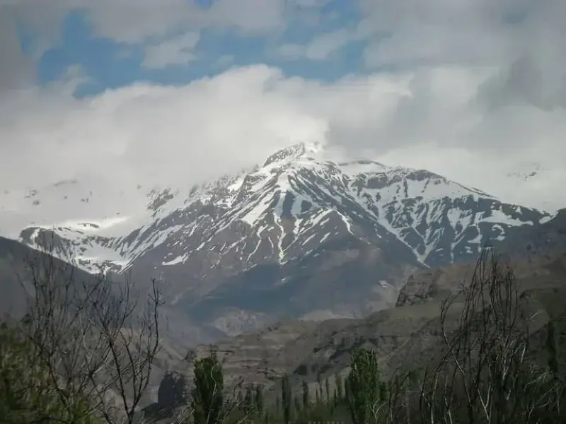
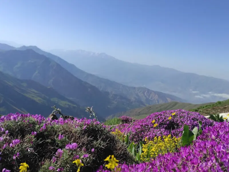
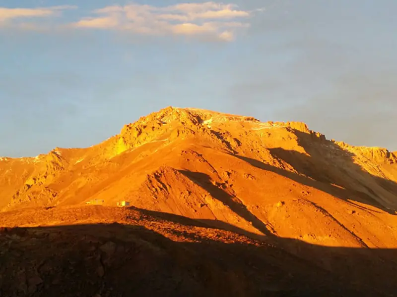
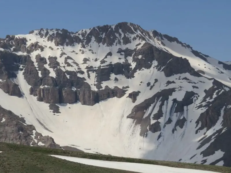
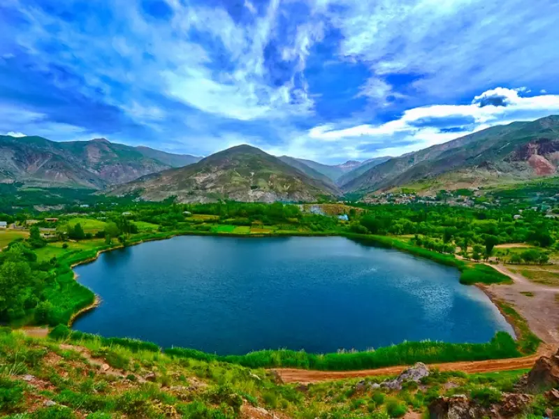
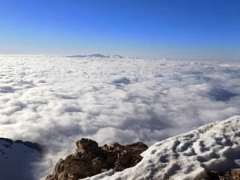
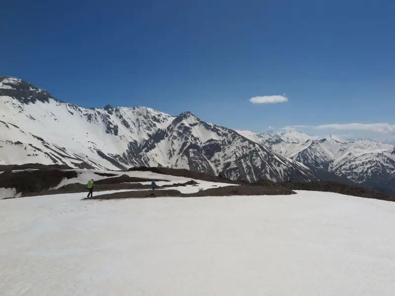
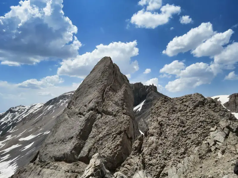
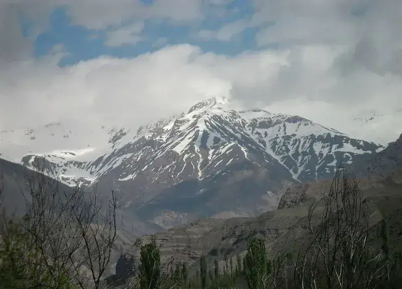
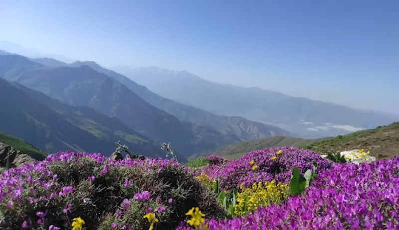
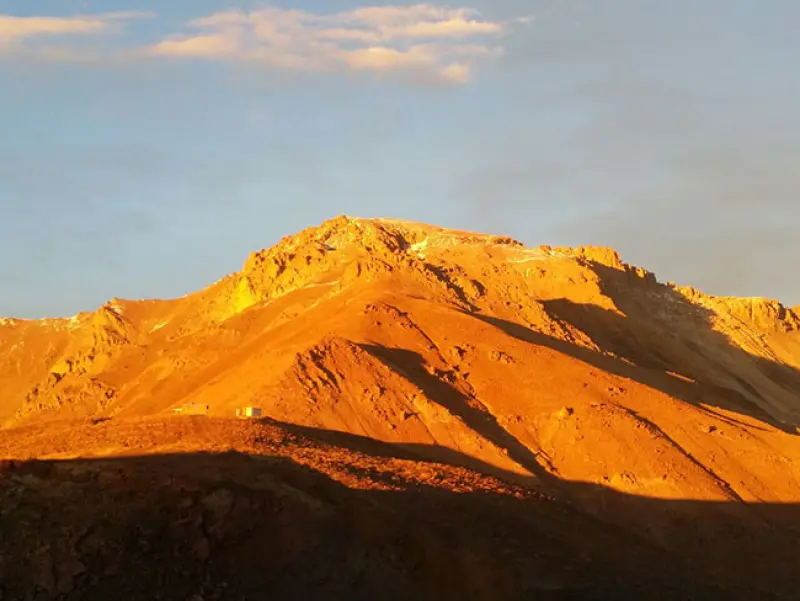
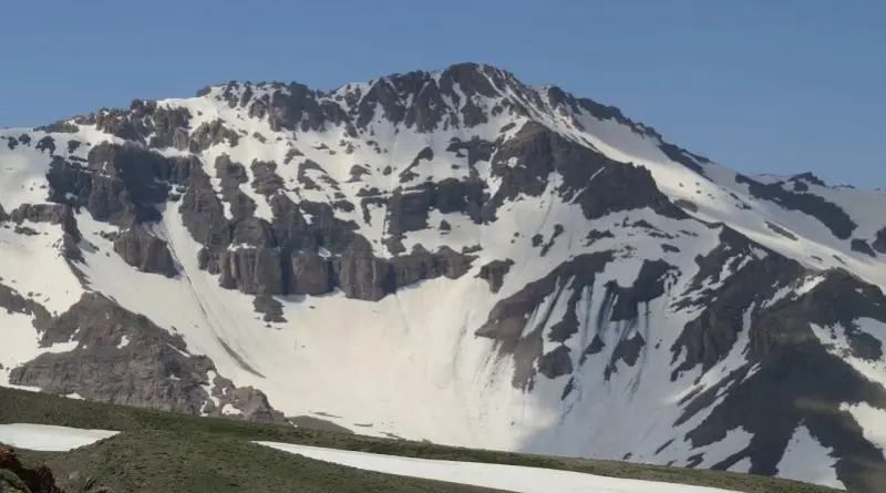
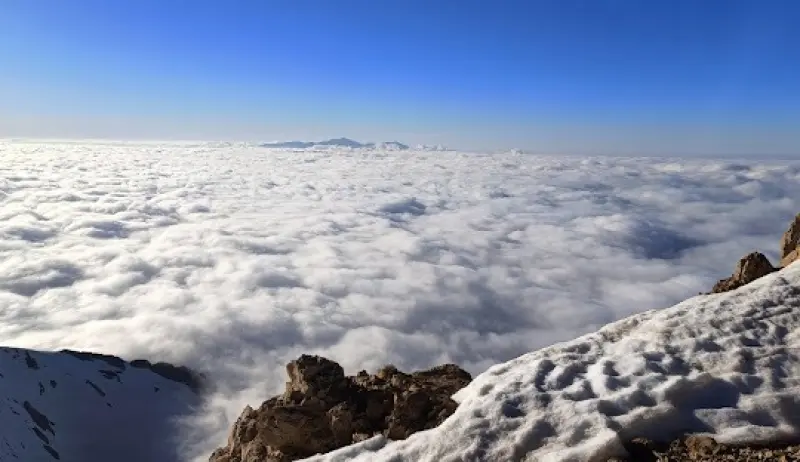
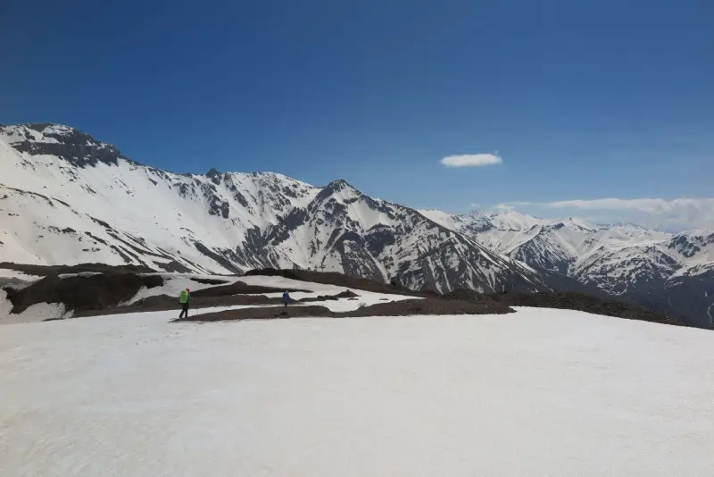
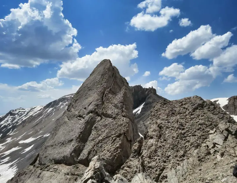
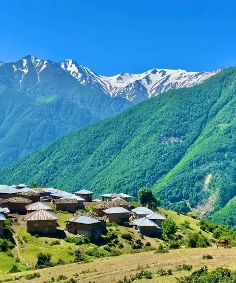
Khashchal Mountain, also called Khashteh Chal, stands on the main ridgeline of the Alborz Range, northeast of the Rudbar-e Alamut-e Sharqi district. It is one of the region's most prominent peaks and is also known as Khoshkeh Chal. Its ridgeline runs northwest to southeast and forms part of the natural border between Qazvin County and Tonekabon (Shahsavar) County. To the southwest, the Siyalan Pass links the mountain to Siyalan Peak, and to the northwest it divides into two sections, a northern and a western one.
The northern spur of Khashchal connects via Bazakuh Peak to Samamus Peak (also called Samam-Kuh), while its western spur connects via the Garm-Kuh Pass to Parchkuh Peak. The Azgin, Sefidab and Avan rivers, which are tributaries of the Shahrud (Sefidrud), rise in the southern heights of the mountain. The Chalak-Rud, by contrast, rises in the northern heights, flows past the rural districts of Jannat-Rudbar and Kelijan, and empties into the Caspian Sea at the port of Shirud.
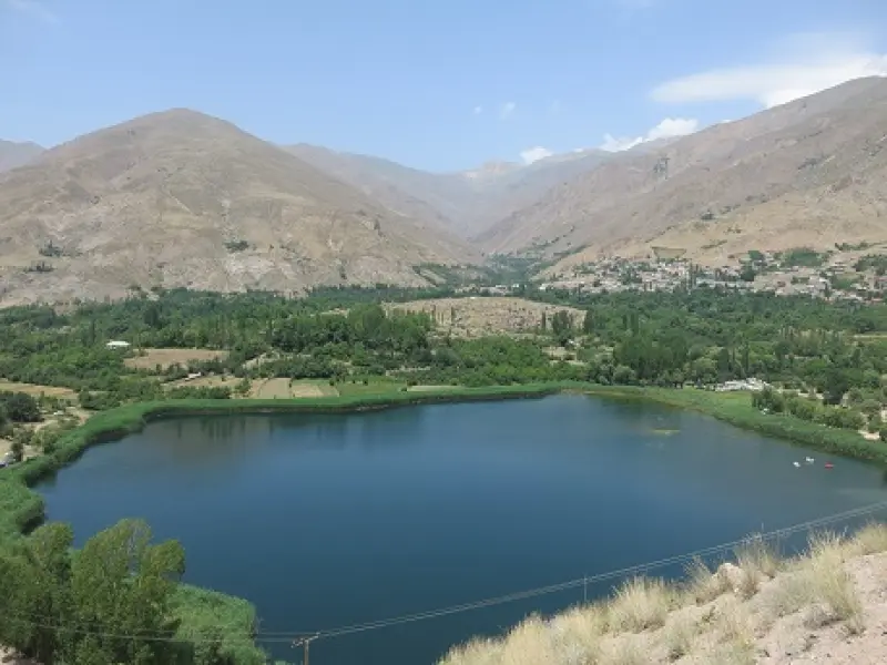
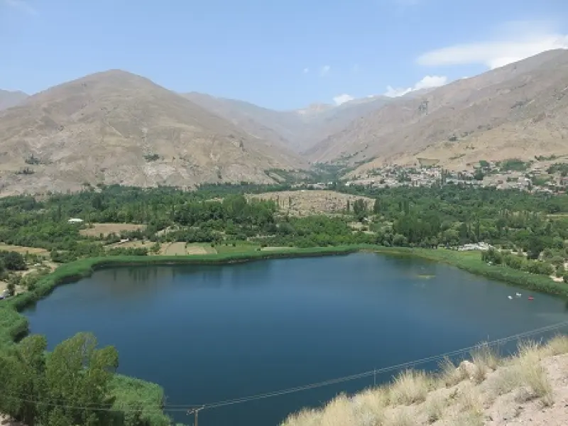
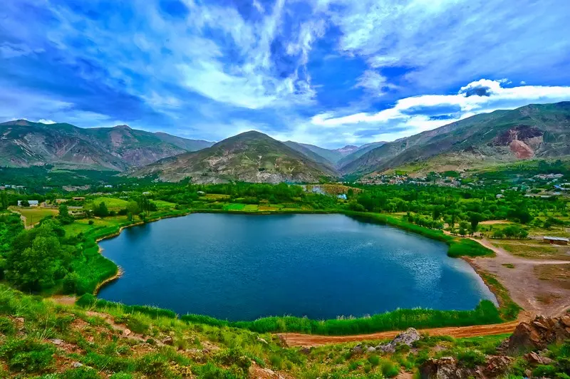
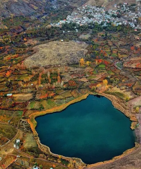
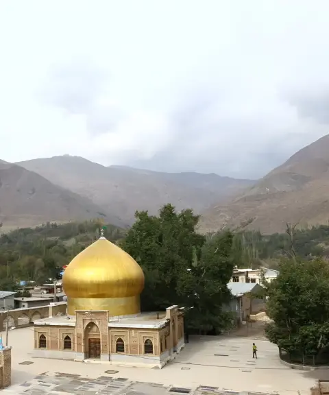
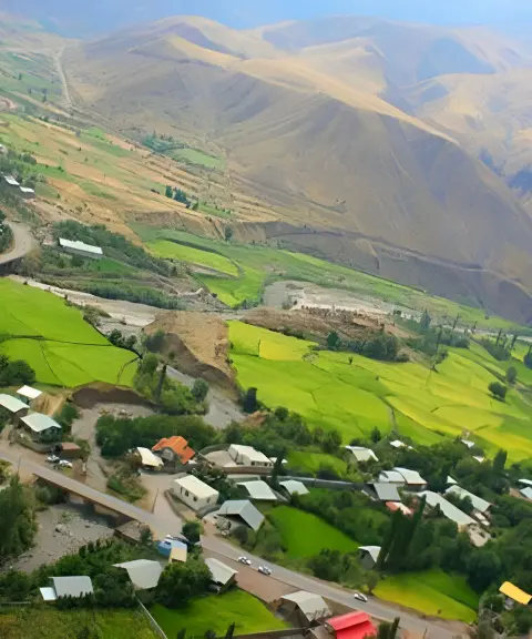
On the southern slope of the mountain lies a beautiful lake, Lake Avan, one of the best-known natural attractions of the region. The village of Varaban, in Alamut County of Qazvin, lies south of the peak and is considered one of the area's important locations. The best time to climb Khashchal is from late Ordibehesht to late Khordad (mid-May to mid-June), when Alamut is at its greenest and the weather is more favourable. The months of Shahrivar and Azar are also suitable for a climb, but climbers should be prepared for changes in the weather.
Written by زهرا لنگری Last updated
What you can do here, and what it takes
کفش پیادهروی به همراه داشته باشید..
تجهیزات لازم کوهنوردی را به همراه داشته باشید.
Province Mazandaran
Province Qazvin
Province Mazandaran


Unfortunately, no comments have been registered.