
 Mountain
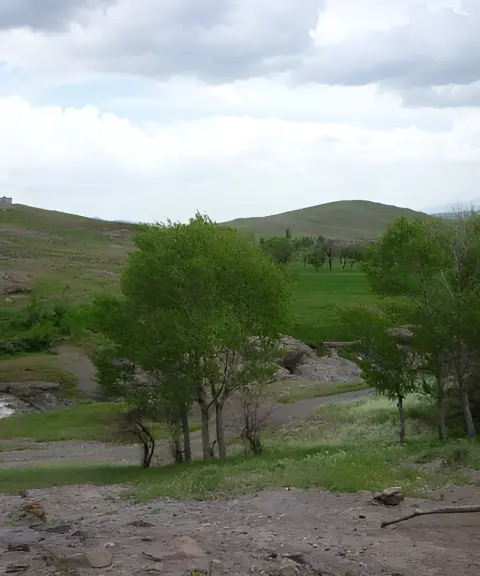

Sharif Beiglu Village
Province Ardabil
- Walking
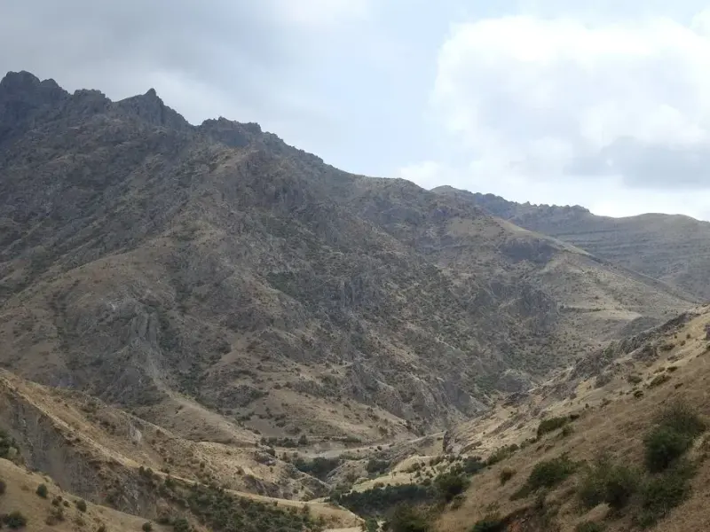
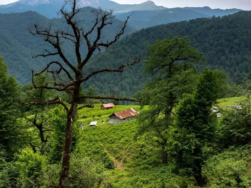
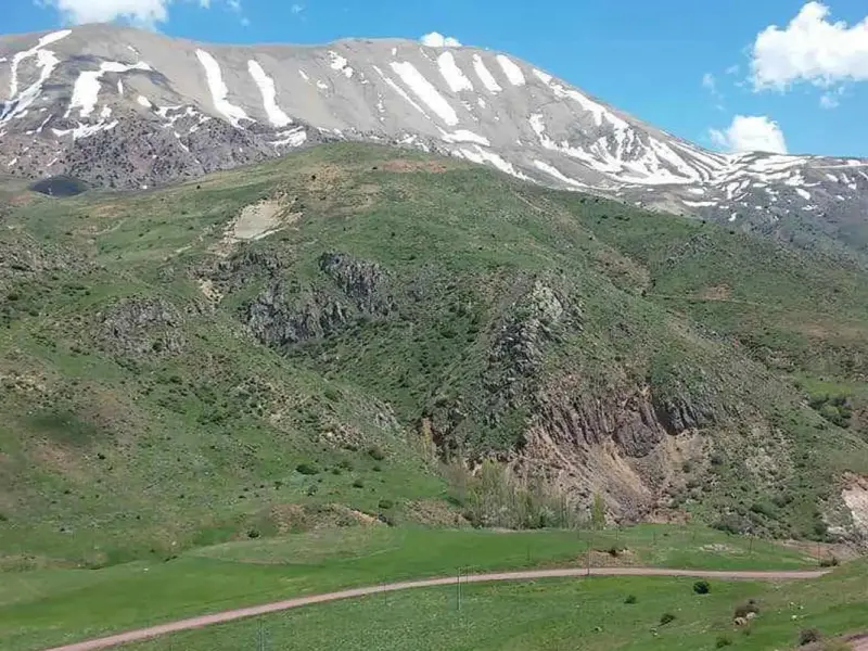
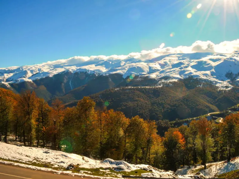
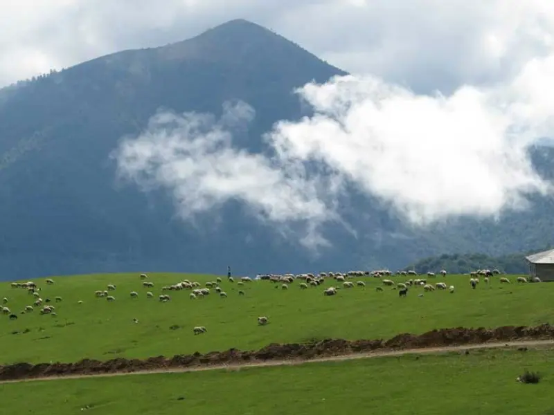
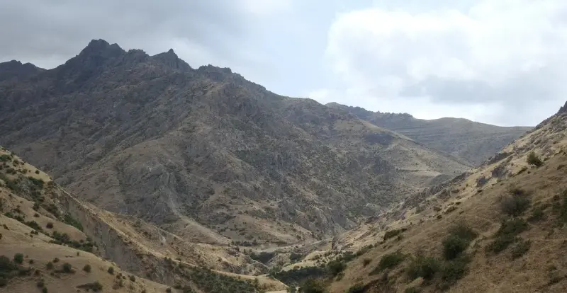
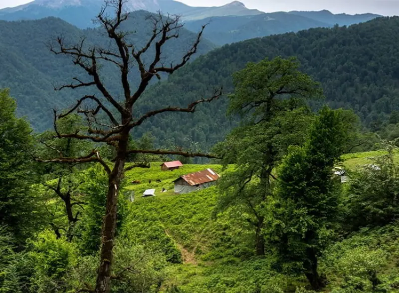
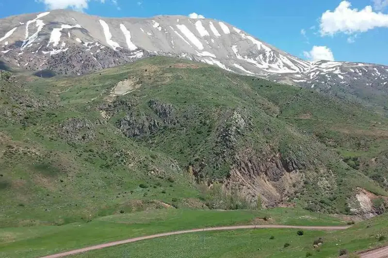
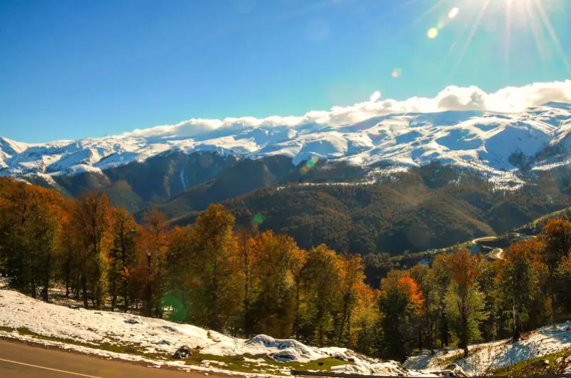
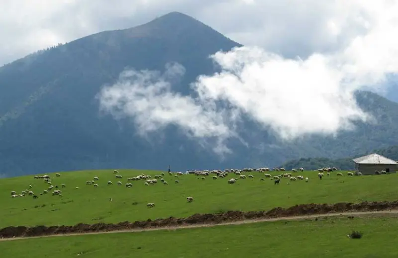
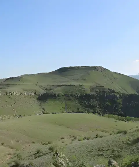
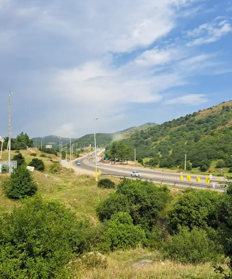
The Talesh Mountains are a mountain chain in northwestern Iran and southeastern Azerbaijan. They form the northwestern part of the Alborz range, extending southeast from the Lankaran lowlands and continuing to the Sefidrud plains in Iran. In the east of Azerbaijan, the Talesh Mountains run north-south along the Caspian Sea coast as far as the Sefidrud valley in Gilan. The western slopes of these mountains are gentle, bare and sparsely wooded, while the eastern slopes descend steeply toward the Caspian Sea. The highest peak of the range is Sefid Kuh (Sefidkuh), at 3,200 meters, near the Sefidrud.
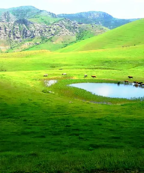
In the northwest, the Talesh Mountains join the Sabalan massif, and the Talesh range consists of three main ridges. The longest of these is the Talesh Mountains ridge itself, which runs along the border with Iran for 100 kilometers and extends to within 8 kilometers of the Caspian coast. Its highest peak is Baghrow Dagh, at 3,197 meters, located in the Khatbeh Sara summer pastures. The area has a mild climate, and the Astara and Lankaran regions have a subtropical climate with mild winters and fairly warm summers. Because of the humid Caspian climate, everywhere in Talesh (on the eastern slopes), except along the ridge line (elevations above 2,000 meters), the vegetation is forest made up of boxwood, maple, hornbeam, oak, beech, alder, walnut, Persian ironwood, linden, zelkova and Caucasian elm. At higher elevations it gradually gives way to medicinal plants and enough vegetation for livestock grazing.
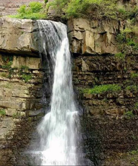
The waters of the various rivers that rise in the Talesh Mountains, such as the Balharud, Goytapeh, Valash, Ghombashi, Sudavashar, Basharu, Astara and others, are used to irrigate these areas and are of particular importance. The Talesh Mountains and the Lankaran plain have very rich soil, and in addition to extensive meadows and lush pastures, these areas contain valuable forests. The range has several peaks higher than 3,000 meters, and maximum rainfall in the region is between 1,600 and 1,800 millimeters, which is considered the highest rainfall in Iran and Azerbaijan.
Written by زهرا لنگری Last updated
What you can do here, and what it takes
تجهیزات کوهنوردی همراه داشته باشید.
کفش مناسب پیادهروی برای گشتوگذار از وسایل ضروری است.
Province Ardabil
Province Ardabil
Province Ardabil
Province Ardabil
Province Ardabil


Unfortunately, no comments have been registered.