
 Mountain
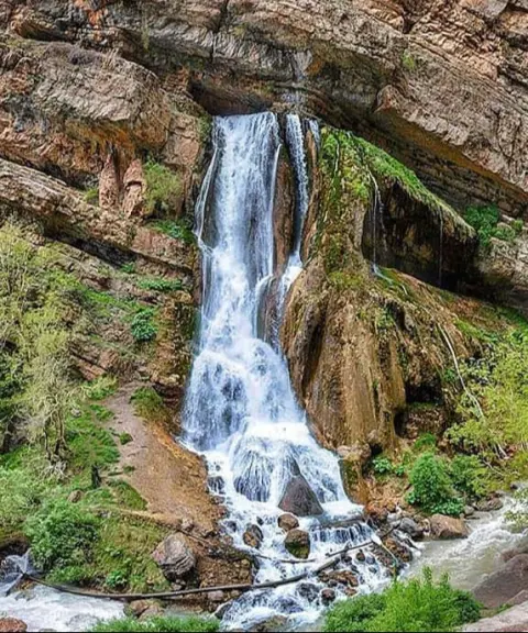

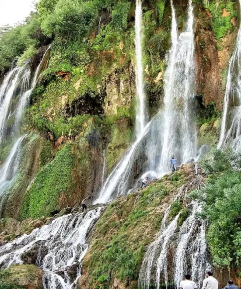
Ab-e Sefid Waterfall
Province Lorestan
- Walking
- Swimming
The Land of Mountain Cypress Trees
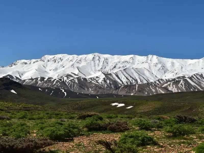
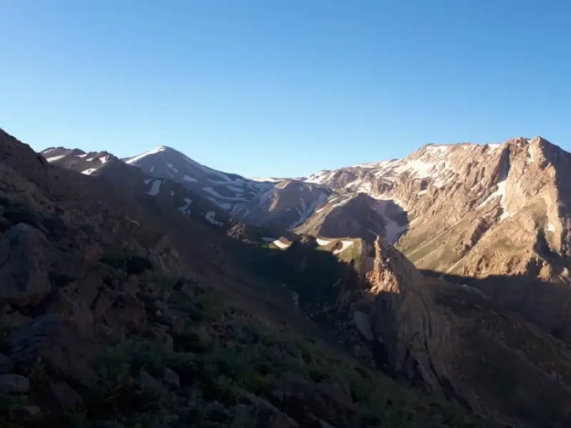
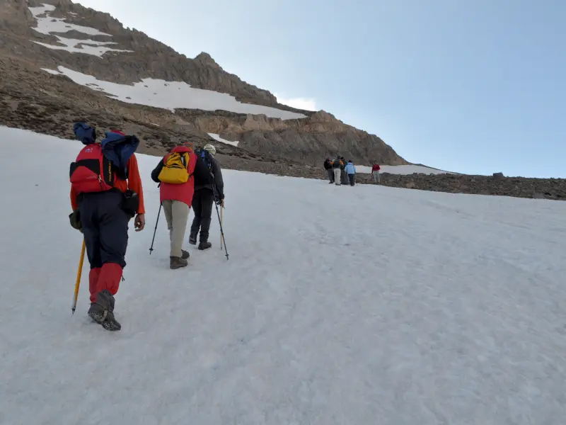
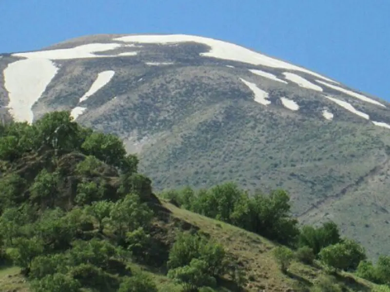
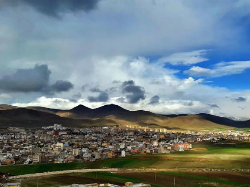
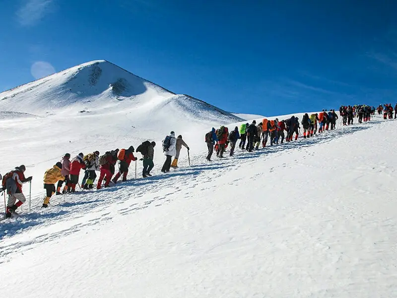
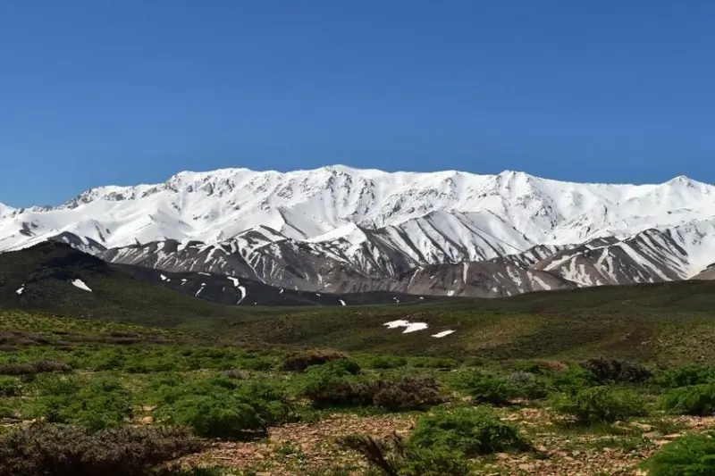
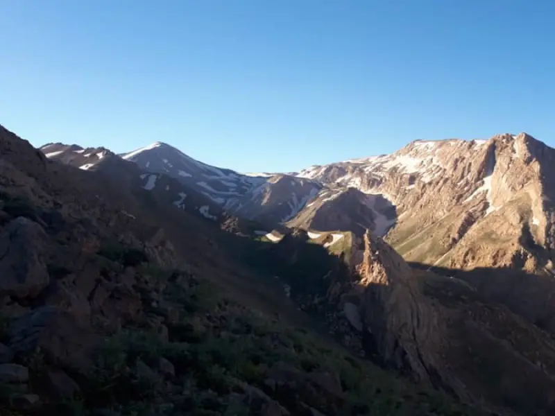
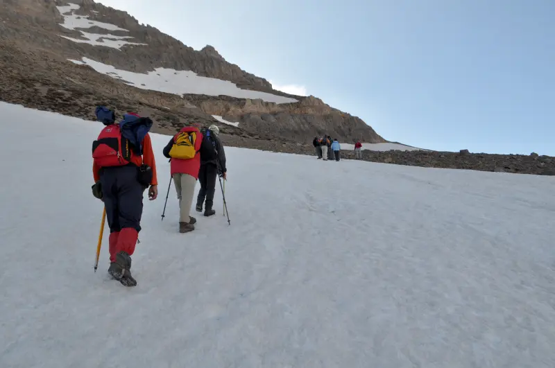
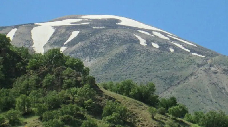
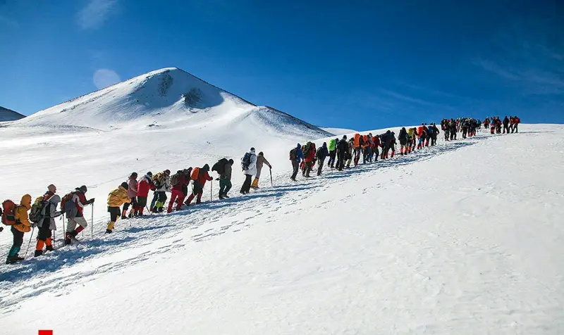
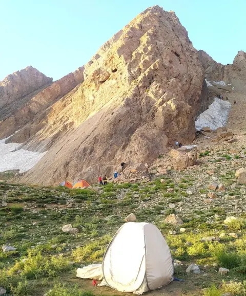
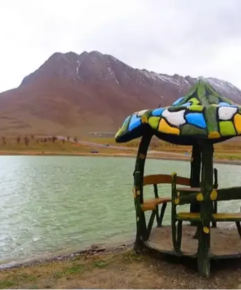
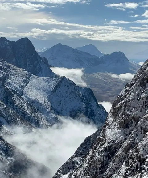
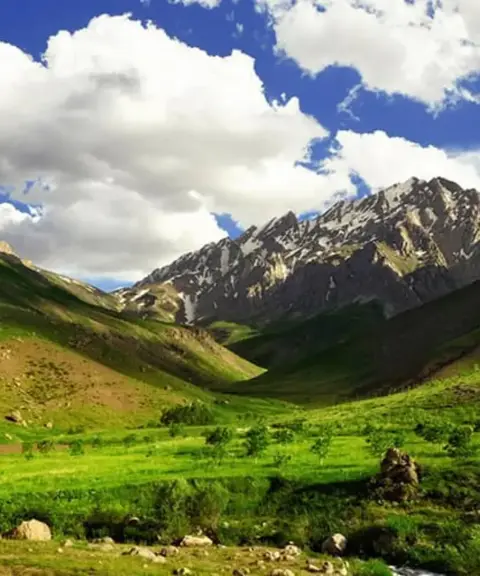
Gali Kuh Bakhtiari, also known as Ghalieh Kuh Bakhtiari, is one of the major mountains of Aligudarz County in Lorestan Province and is regarded as one of the minor branches of the Zagros Mountain Range. It is considered the most important source of the Dez River and is one of the high mountains of Aligudarz. One of the most beautiful features of this mountain is its mountain cypress trees, which local people call "Uvars" in their dialect. This beautiful tree rises from among rocks and cliffs, and there are stories about it. For example, local people believe that when lightning sets an Uvars tree on fire, the tree is in fact immolating itself, because it has grown old and is making way for young trees to grow in its place.
On the slopes of Ghalieh Kuh lies the pristine "Dam" Valley, one of the most beautiful valleys in Lorestan. The Dez River, rising from Gali Kuh, irrigates the plains downstream and brings freshness to the landscape. Because of the area's great potential, including its plant and animal species, the Department of Environment has declared the Gali Kuh area a no-hunting zone to protect it further. Bears, leopards, wild boars, wild rams and ewes, hyenas, wolves and several species of birds live in the Gali Kuh area. The area is also home to many rare plants.
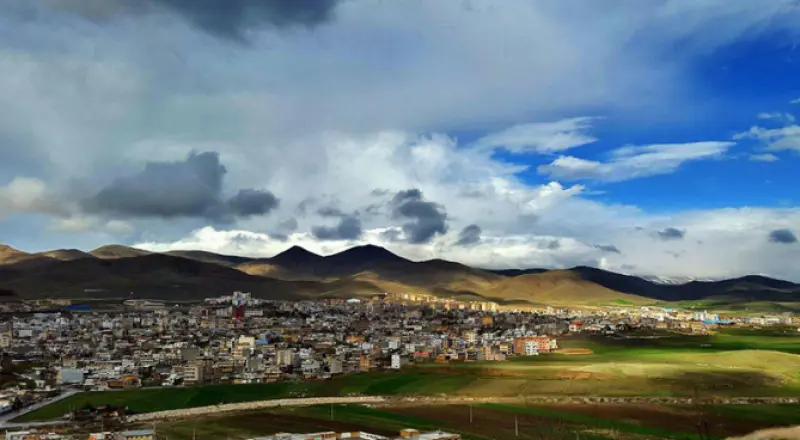
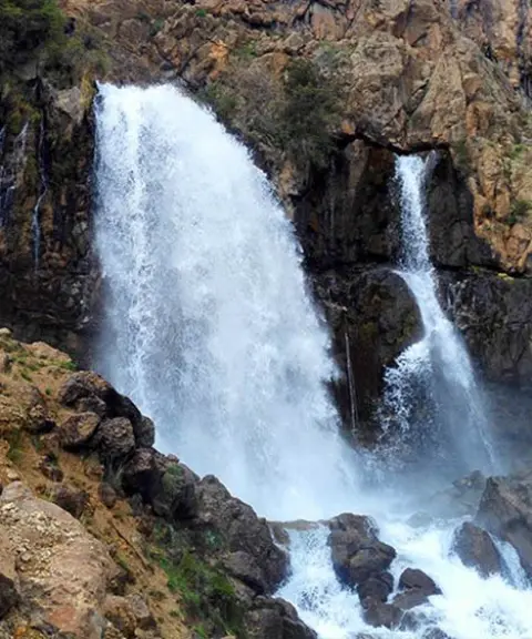
Gali Kuh is bounded by the Sarab-e Keygooran spring to the northwest, the village of Keyzan Darreh and Dorak Valley to the east, and Ab-e Sefid Waterfall to the southeast. The area has distinctive geographical features, and to its north lies the Dalan plain of inverted tulips (Fritillaria), which doubles the natural appeal of the region. The slopes of Gali Kuh are used as summer pastures and grazing grounds by the nomads of the Bakhtiari tribe. Thanks to its particular geographical conditions, the area provides a suitable environment for the Bakhtiari nomads to live and to carry out livestock herding and farming.
Written by زهرا لنگری Last updated
What you can do here, and what it takes
کفش مناسب پیادهروی و کوهنوردی به همراه داشته باشید..
تجهیزات لازم کوهنوردی را به همراه داشته باشید.
Province Lorestan
Province Lorestan
Province Lorestan
Province Lorestan
Province Lorestan


Unfortunately, no comments have been registered.