
 Mountain
- Ability level Intermediate
- Routes 1 recorded route
Ability level:
Intermediate
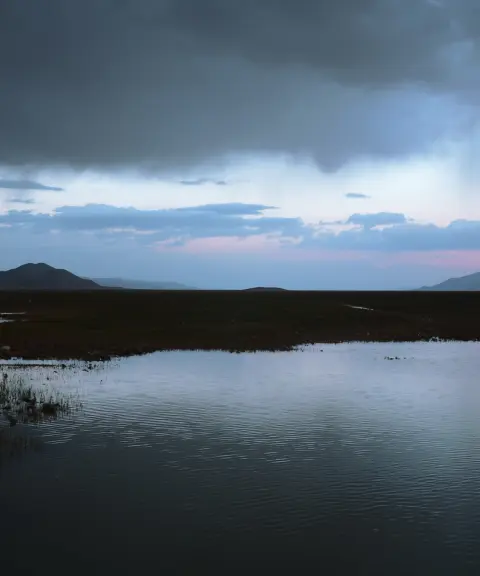
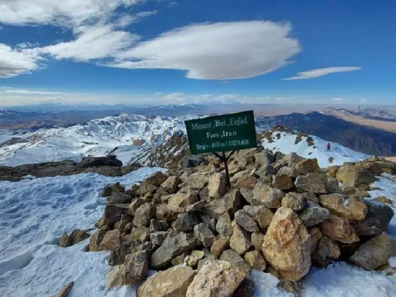
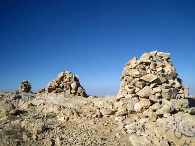
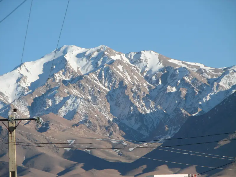
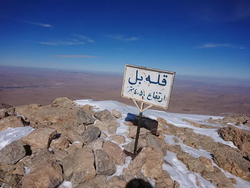
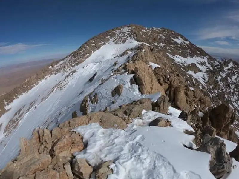
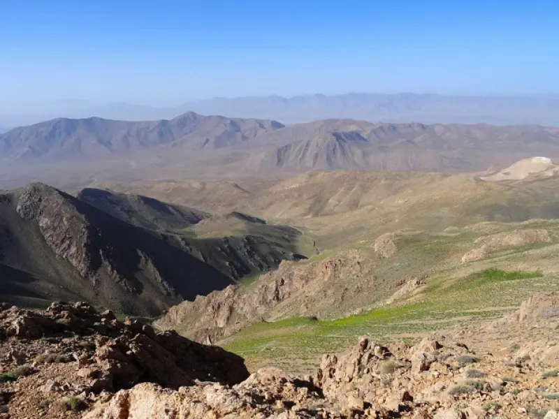
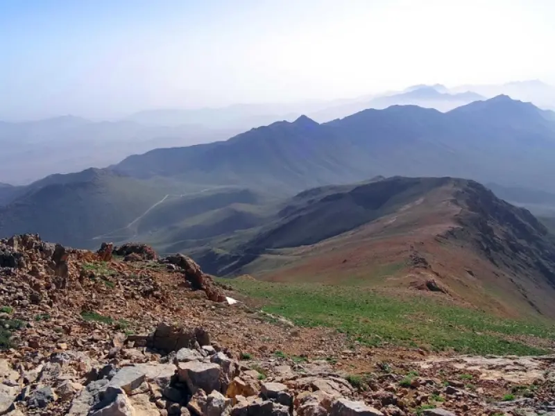
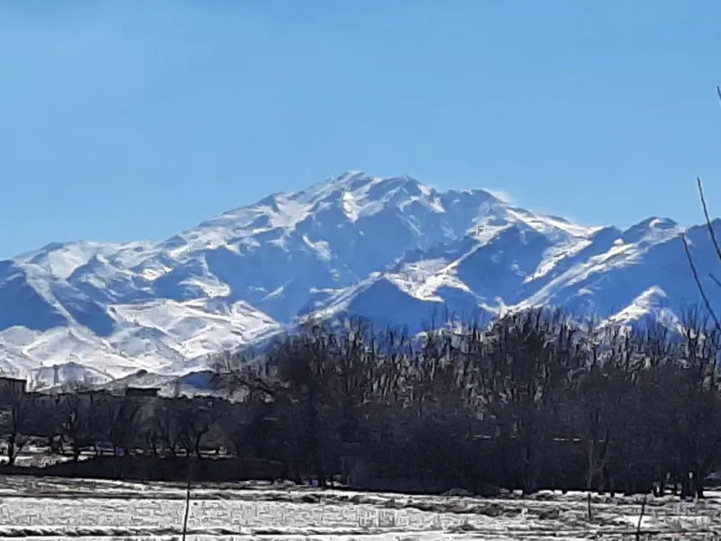
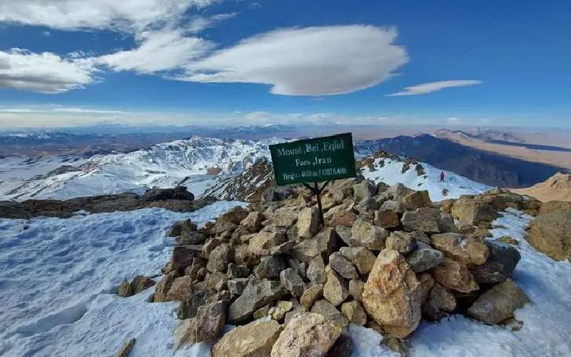
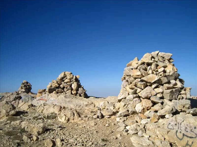
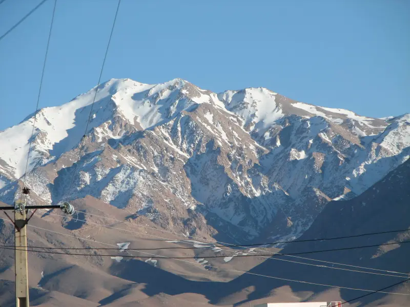
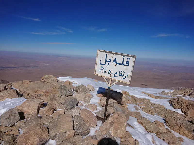
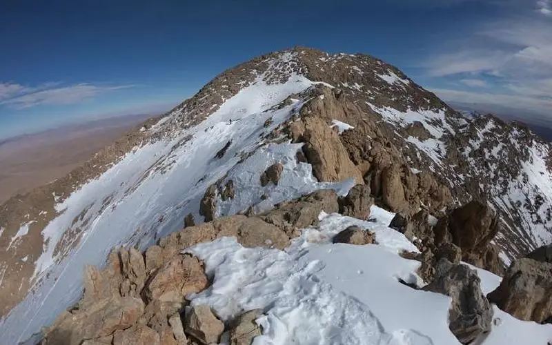
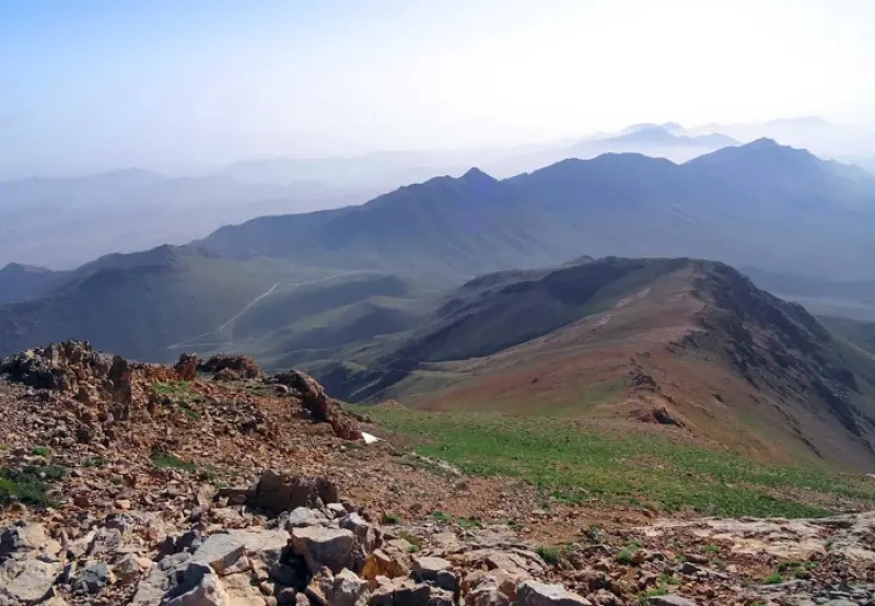
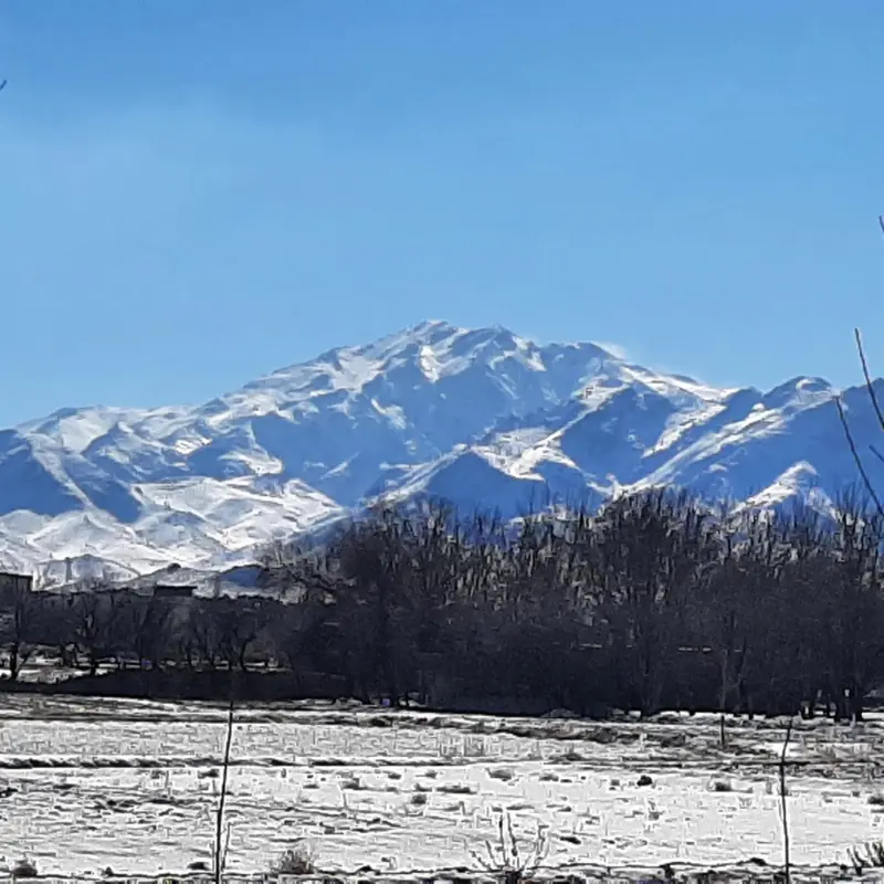
Bol, which means "tall" in Pahlavi, is the highest peak of the Sefid Mountains in the southern Zagros region, the highest peak in Fars Province, and the 91st highest peak in Iran. It lies in the central Zagros, in the central district of Eqlid County. The mountain can be climbed from two sides, west and east. The western route to the summit starts from an area called Layeshkaft, which also has a small pond. The eastern route starts from the Bagh-e Zarghami area, east of the summit, which can be reached by driving southeast from Eqlid. The route from Bagh-e Zarghami to the summit follows a long ridge that reaches a secondary peak at an altitude of about 3,500 metres; from there, continuing west, you reach the summit.
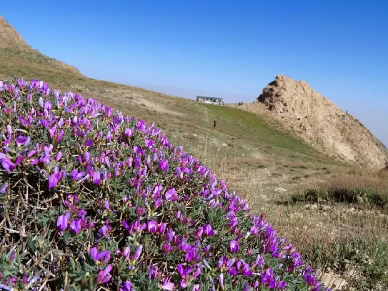
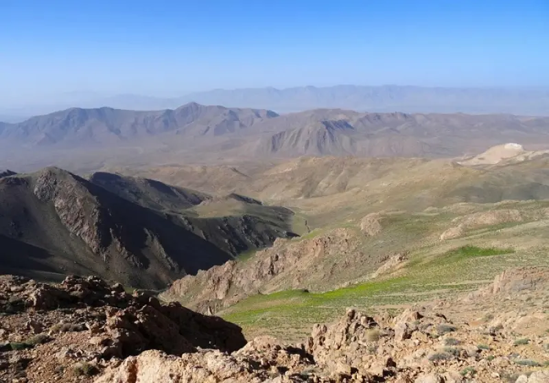
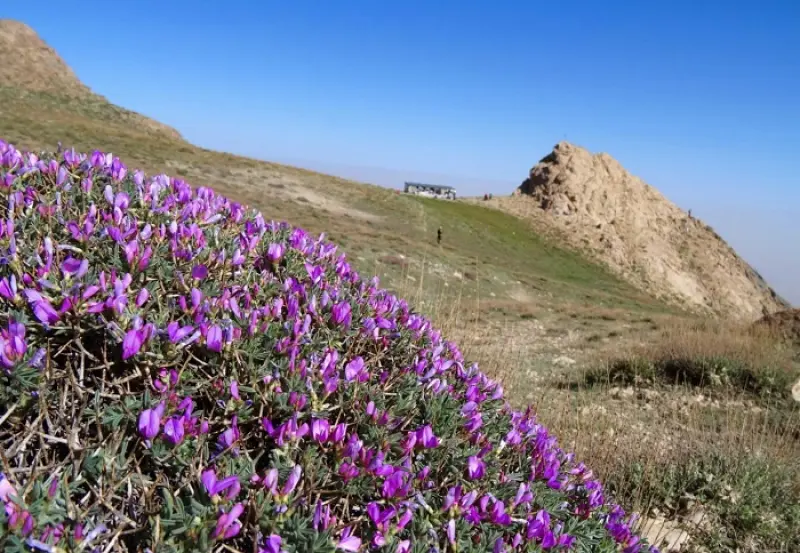
The area has a varied cover of Iranian mountain vegetation. Among the many plants are the shrubs khushak, arzhan and wild sour cherry, and the bushes of milkvetch (gavan), shalal, zaz, jashir and chuyel, as well as wild leek, thyme, hormoneh flower, bu-madaran (yarrow) and ginea-khorusi. Among the medicinal and commercial plants of the region are licorice, borage, tragacanth, asafoetida and milkvetch. The most important animals of this area include the brown bear, leopard, wild boar, deer, wild sheep (ram), wildcat, squirrel, Persian onager, gazelle, hyena and wolf.
The countryside of Eqlid County is very beautiful in spring. The best time to climb Bol is Ordibehesht (late April to May), and in general the period from Ordibehesht to Shahrivar (April/May to August/September) is suitable for climbing. Note that in winter conditions the mountain can be extremely dangerous. During heavy snowfall, there is a risk of avalanches on this peak.
Written by ستایش عرب Last updated
Activities
What you can do here, and what it takes
-
Mountaineering
از کفش و ابزار مناسب کوهنوردی استفاده کنید.
Specifications
Introduction of the location and specifications of Kuh-e Bol (Mount Bol)
Location:
Fars, Eqlid
Coordinates:
30.77712805, 52.75051127
Open in maps
Height above mean sea:
4050 meter
Land Form:
Mountainous, Mountain
Floras:
Temperate Grasslands
Faunas:
Presence of Predatory Animals, Presence of Herbivorous Animals
Transports:
Private car, Walking, Minibus, Bus
Tourist Attractions in Eqlid
Attractions that are nearby

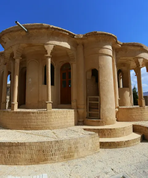

Kolah Farangi Mansion of Abadeh
Province Fars
- Walking
A legacy of Qajar architecture blending Iranian and European artistry
Aghazadeh Historical House
Province Yazd
- Walking
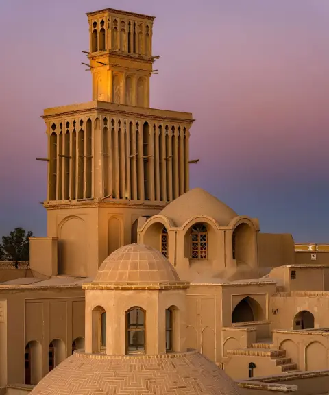
A Desert Architecture Masterpiece with a Two-Story Windcatcher

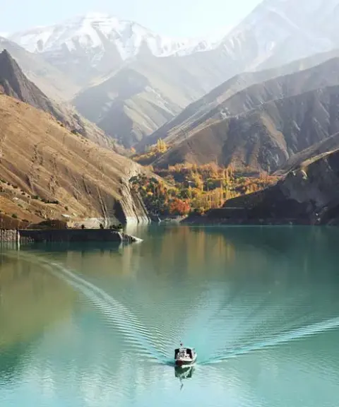
Doroudzan Dam
Province Fars
- Walking
- Rowing
A Valuable Source of Nature and Life in the Heart of Fars
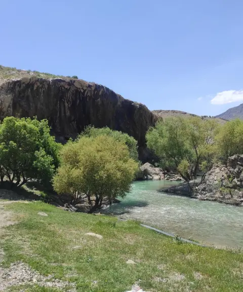
Tang-e Khoshk
Province Fars
- Mountaineering
- Walking
- Rock Climbing
- Canyoning
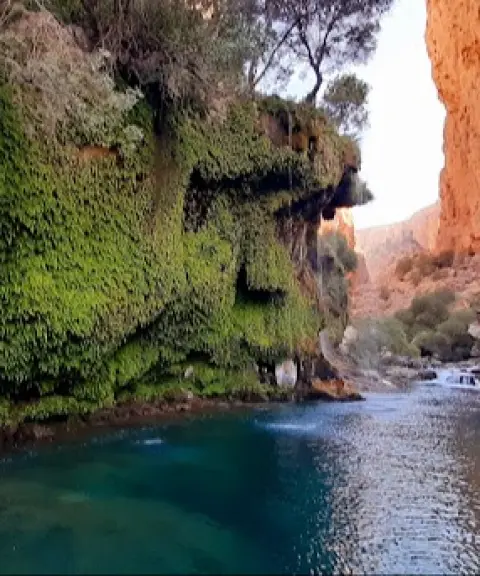
The Gorge of the Zagros Waterfalls
Related tags:
Unfortunately, no comments have been registered.