
 Mountain
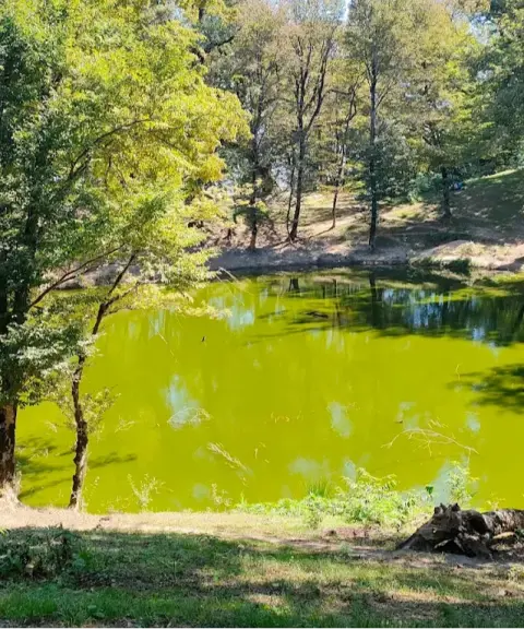

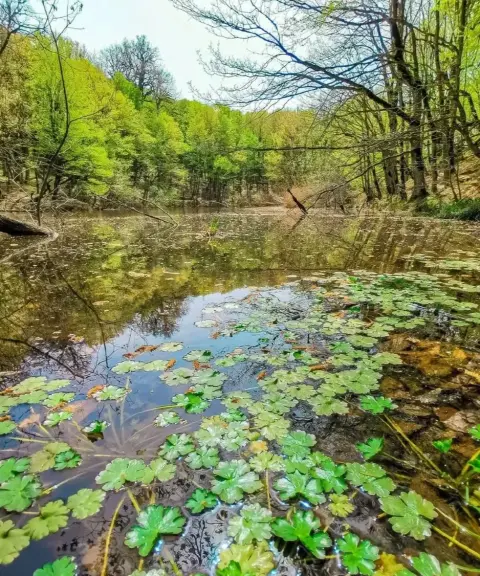
Nilkuh Marsh
Province Golestan
- Walking
- Mountaineering
An indigo-blue mountain at the far end of the Alborz range
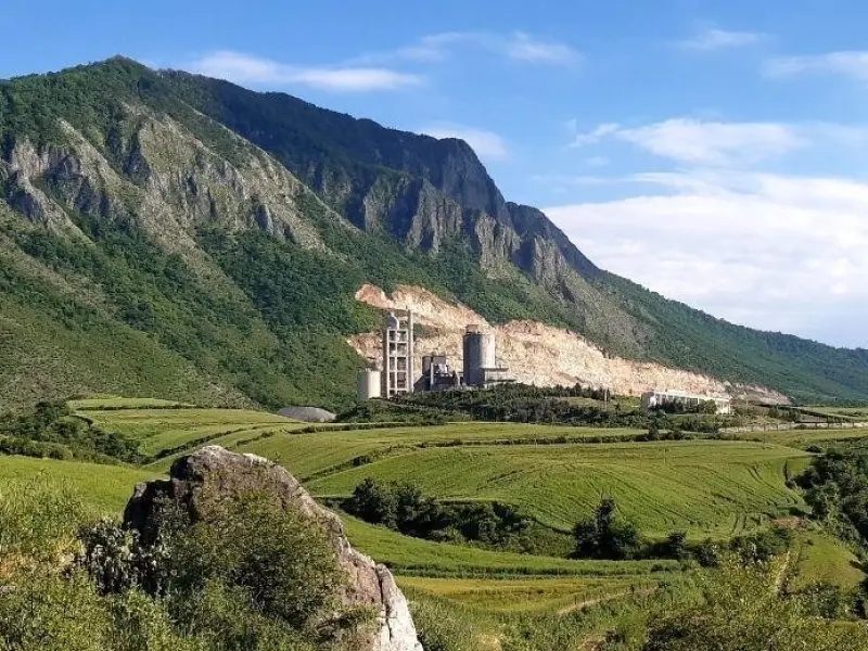
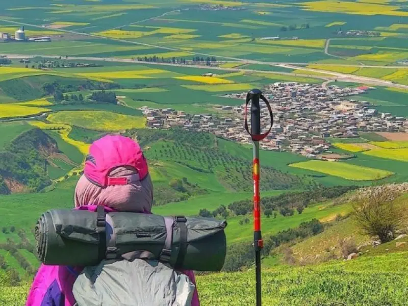
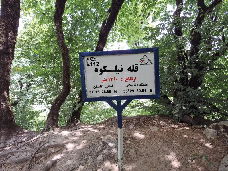
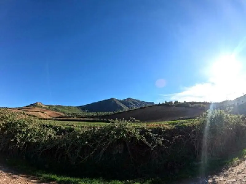
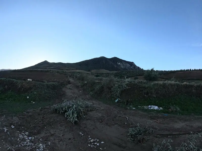
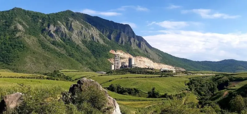
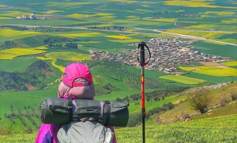
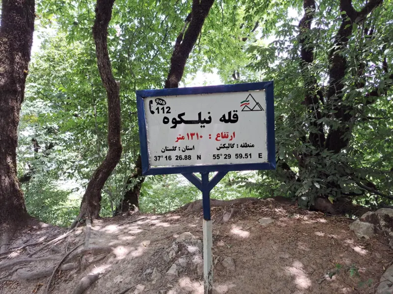
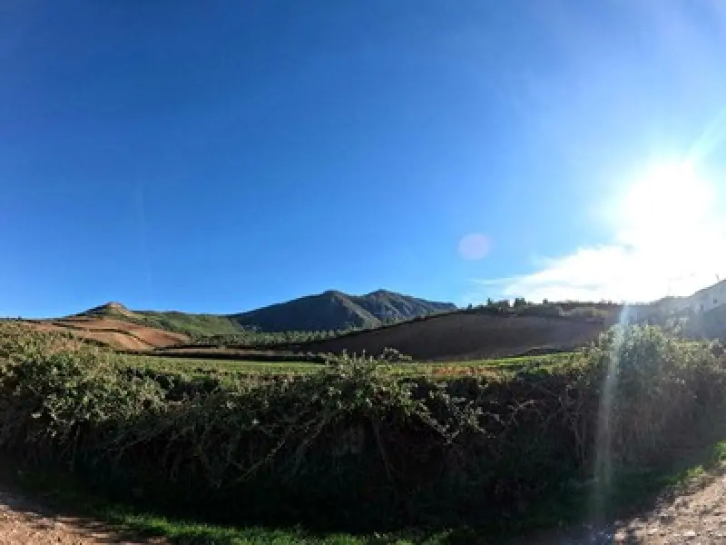
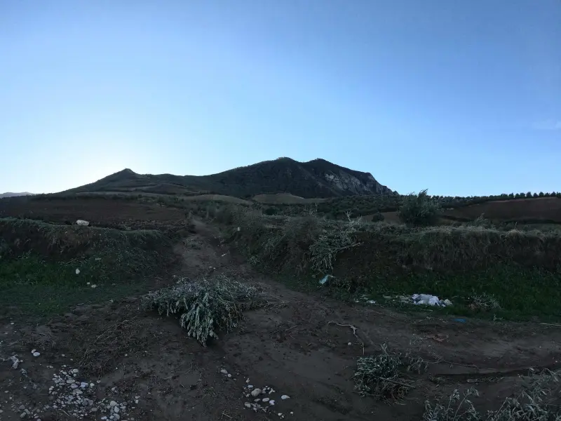
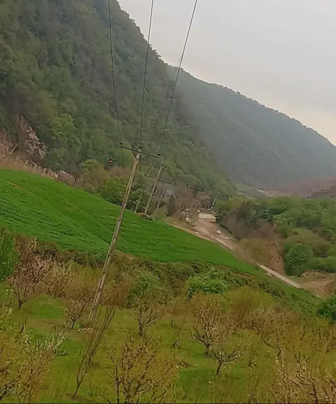
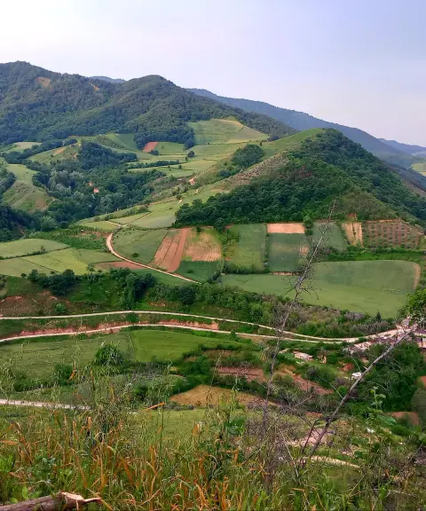
As its name suggests, Nilkuh ("Indigo Mountain") is an indigo-blue mountain at the end of the Alborz range, in the east of Golestan Province. The Sistanis who live in this area also call it Kuh-e Rostam (Rostam's Mountain). To climb Nilkuh Peak from the village of Tarajiq, you have to cross a hill that locals call Akhor Hill. The climb up Nilkuh begins after this hill, which stands 775 metres above sea level. Thanks to its special location, the peak offers unrivalled views of the surrounding lakes and unspoiled nature.
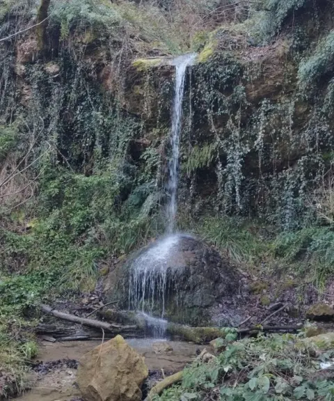
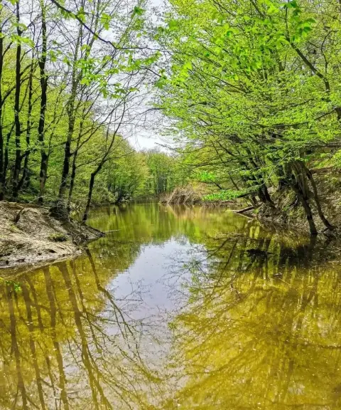
Nilkuh has dense, thick forests of many tree and plant species. The most important include old trees such as beech, oak, maple, alder and ironwood, as well as medicinal and wild plants such as borage, wild dill, thyme and barberry. At higher elevations, the vegetation changes to meadows and low shrubs. Because the area lies within the Hyrcanian forest ecosystem, it is home to a wide variety of animals. These include mammals such as the brown bear, leopard, wolf, roe deer and red deer; birds such as the chukar partridge, forest eagle, woodpecker and pheasant; and reptiles such as snakes.
The best time to climb this peak is spring and autumn, because the weather is mild in these seasons and the landscape is lush and full of wildflowers. The colourful forests with their yellow and orange leaves are ideal for walking. This mountain is an important destination for travellers looking for a nature tourism and mountaineering experience.
Written by ستایش عرب Last updated
What you can do here, and what it takes
مسیرهای متنوعی برای صعود به قله وجود دارد.
از کفش کوهنوردی استفاده کنید.
Province Golestan
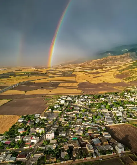
Province Golestan
Province Golestan
Province Golestan
Province Golestan


Unfortunately, no comments have been registered.