
 Gorge
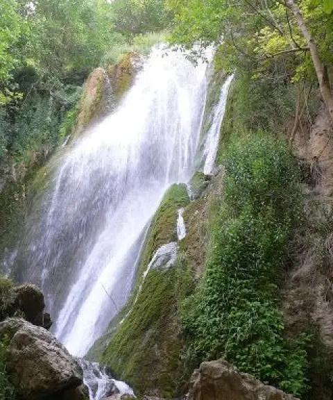
Tang-e Kord
Province Khuzestan
- Rock Climbing
- Canyoning
- Mountaineering
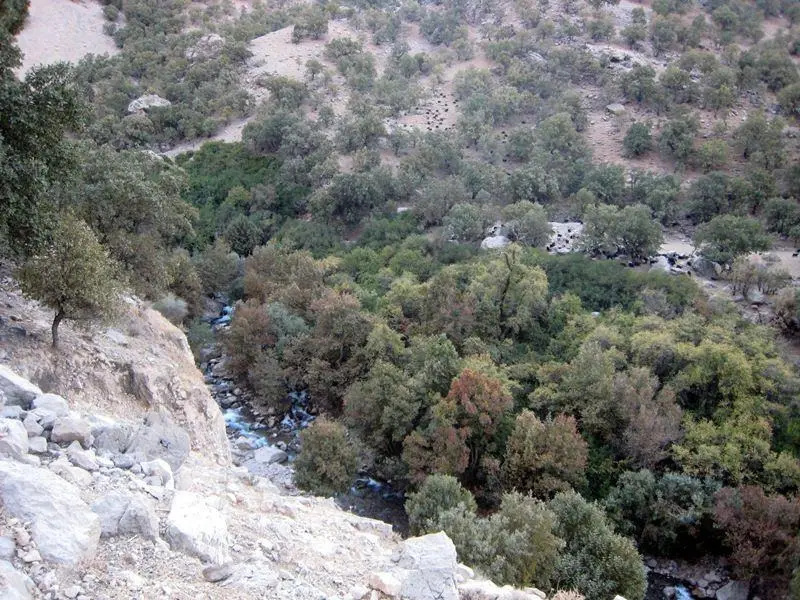
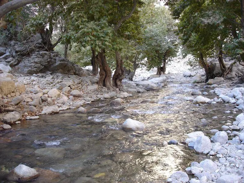
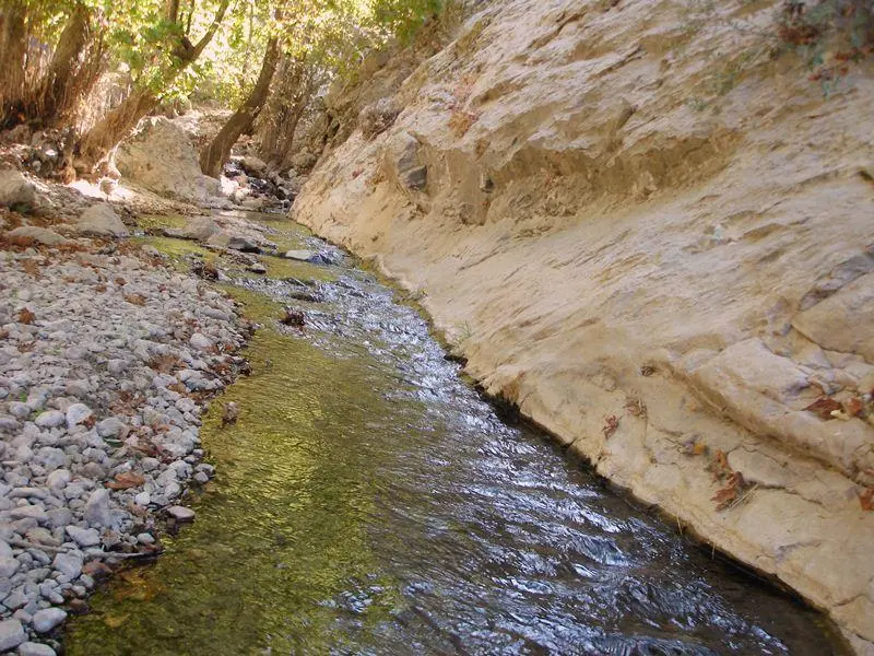
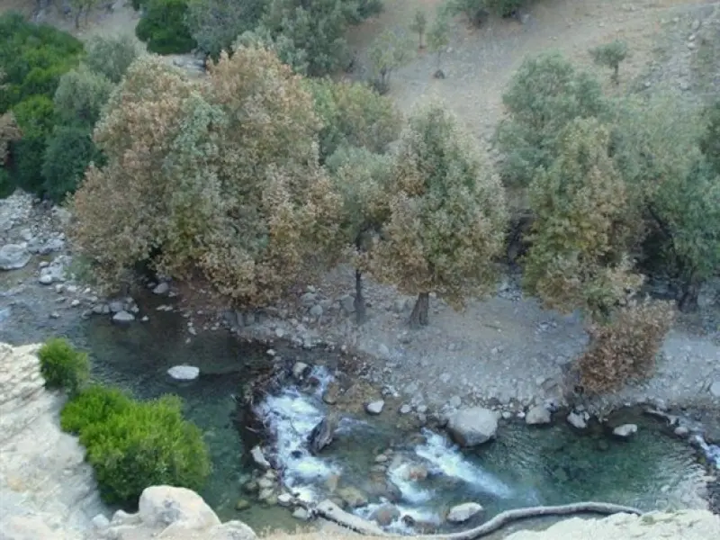
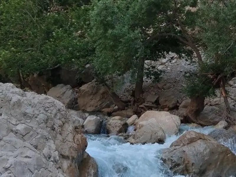
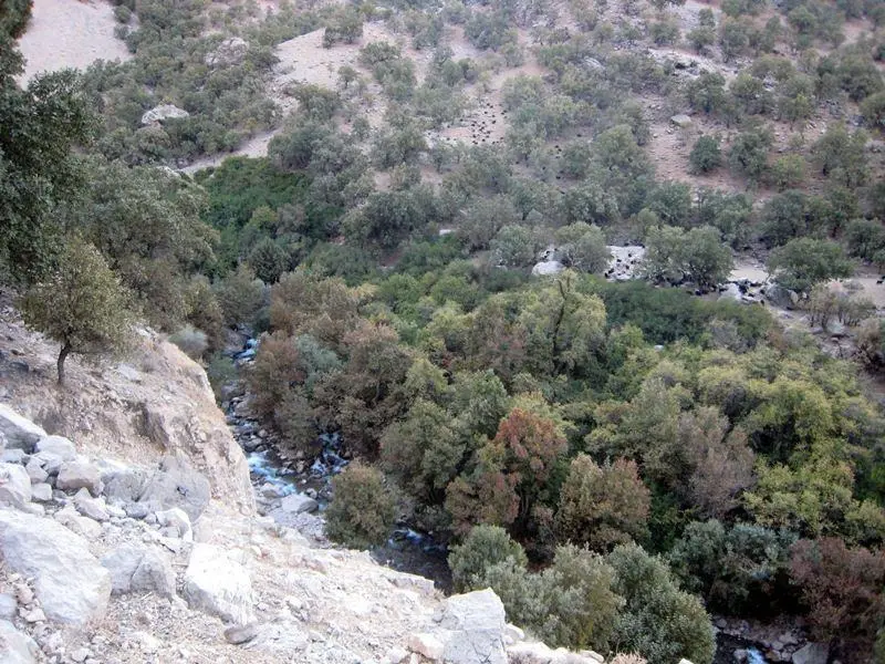
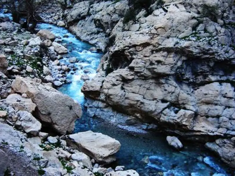
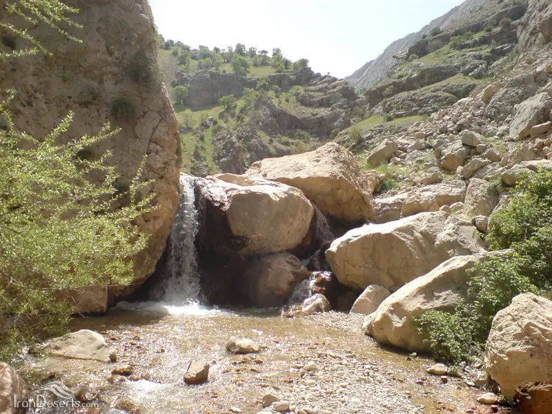
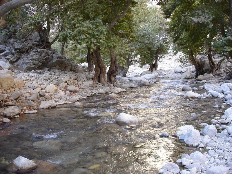
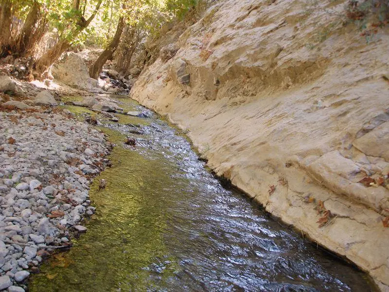
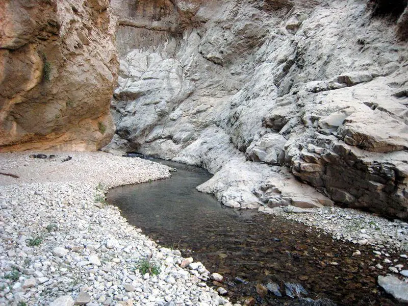
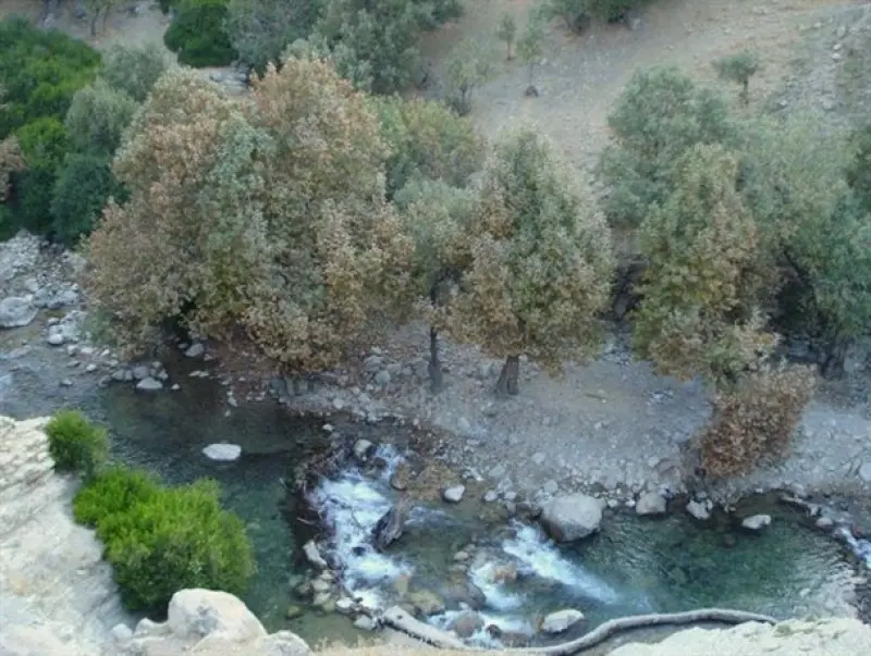
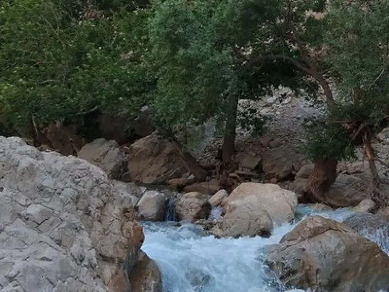
Tang-e Tahi is located 3 kilometers east of the village of Mal Agha. Mal Agha is a traditional village 32 kilometers from the town of Baghmalek. It has preserved its old architectural fabric well and lies in a mountainous part of the Zagros range. A cold, rushing river flows past the village, creating a refreshing and beautiful route. In spring and summer, tens of thousands of people from across Khuzestan travel to this pleasant-climate area to spend their leisure time. Travelers heading from Baghmalek toward Mal Agha pass through the town of Qaleh Tal, then through mountains, oak forests and cool mountain breezes, and enter an environment quite different from the rest of Khuzestan. Further on, the village of Tambi, several thousand years old, stands out in the heart of the mountains and gives visitors a picture of rural serenity and warmth.
The Rud-e Zard River, which flows through the valley next to Mal Agha, has become one of the tourist attractions of the area. In the hot-climate province of Khuzestan, this river is regarded as a natural treasure, and walking upstream through the valleys traversed by the river and its tributaries is an enjoyable experience for lovers of mountaineering and nature. To reach Tang-e Tahi from the village of Mal Agha, you need to follow the valley east for about 3 kilometers until you reach a place called Sar-e Tang. Here the valley splits into two branches, one heading north and the other south. The southern valley, known as Tang-e Tahi, lies at the end of the route.
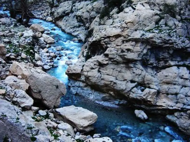
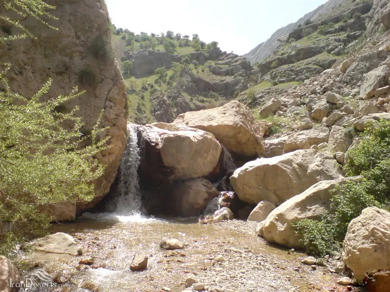
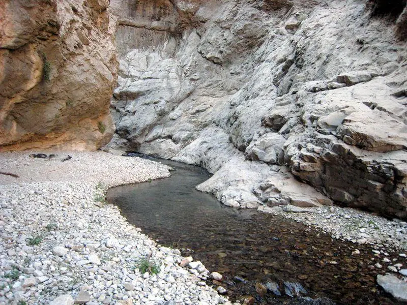
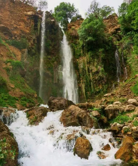
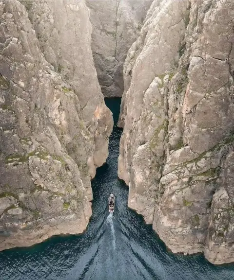
Tang-e Tahi is a valley 5 kilometers long, known in the local dialect as Tihu, the name of a bird similar to the partridge. At the end of the valley you enter a narrow, high-walled gorge, which you have to pass through by wading in very cold water. At the end of the gorge there is a waterfall about 5 meters high, and the route comes to a dead end. Because of the 500-meter difference in elevation along this route, beautiful waterfalls have formed at several points, and together with oak trees and ancient plane trees they create unrivaled scenery. With its distinctive features, this natural area is considered one of the important tourist attractions of Khuzestan Province.
Written by زهرا لنگری Last updated
What you can do here, and what it takes
کفش پیادهروی به همراه داشته باشید..
بدون مهارت صخرهنوردی امکان پیمایش این دره نمیباشد.
بدون مهارت درهنوردی امکان پیمایش این تنگه نمیباشد.
Province Khuzestan
Province Khuzestan
Province Khuzestan
Province Khuzestan


Unfortunately, no comments have been registered.