
 Seas and Lakes
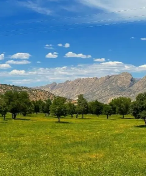
Parishan Lake
Iran's freshwater gem in the heart of Kazerun's nature
- Seas and Lakes
- Fars, Kazerun
- Altitude 820 m
- Ability level Intermediate
Ability level:
Intermediate
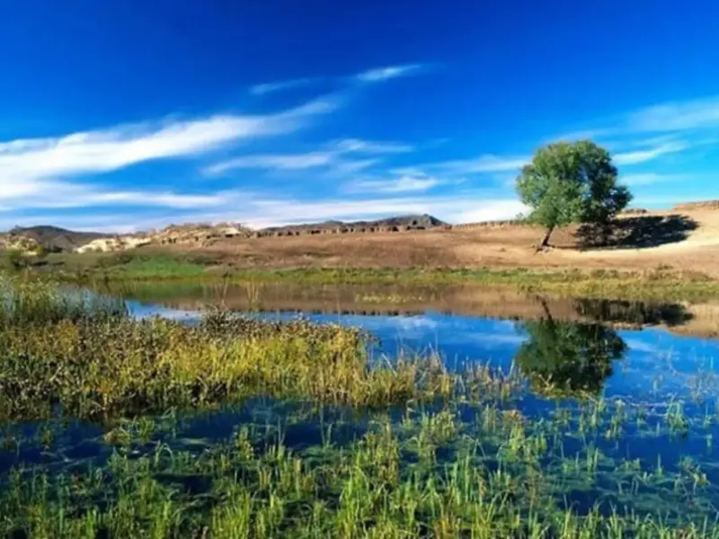
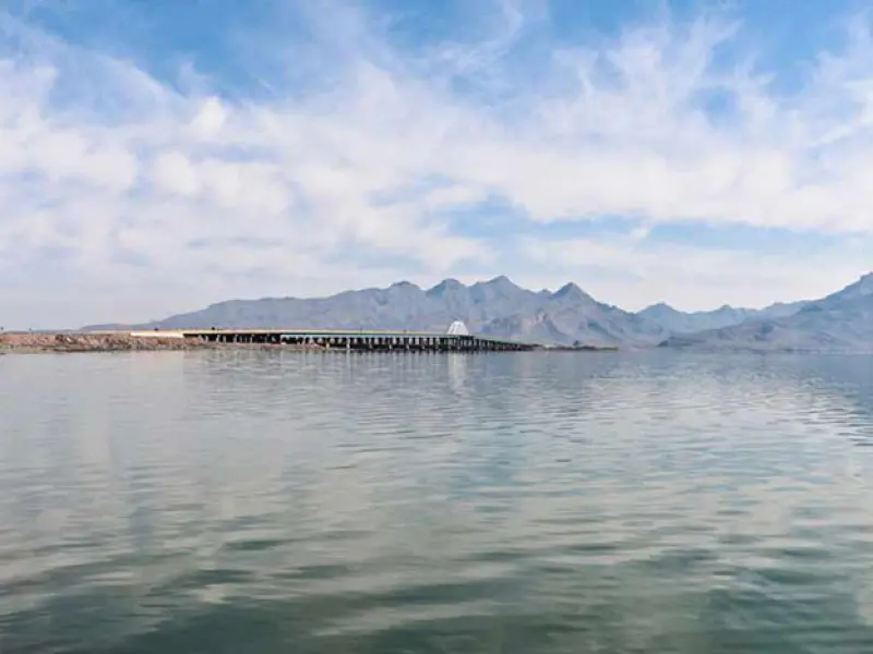
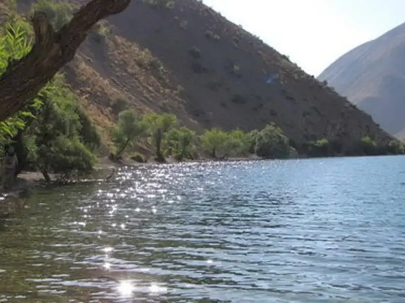
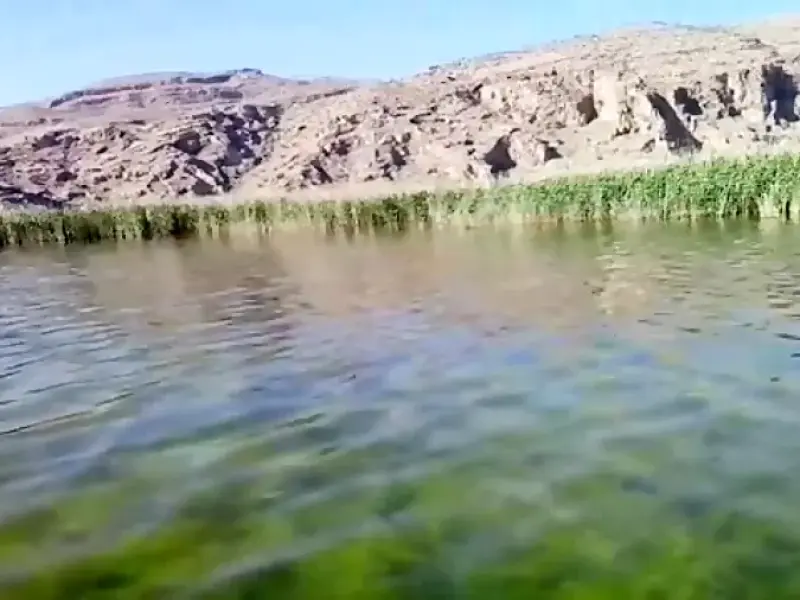
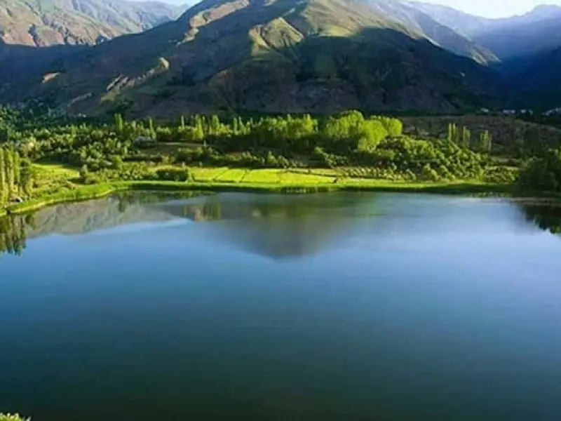
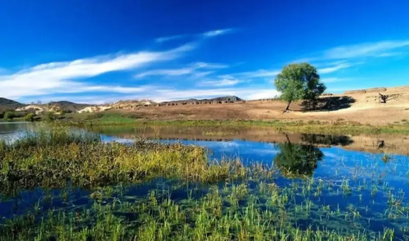
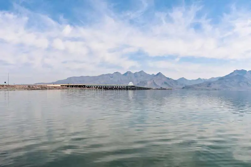
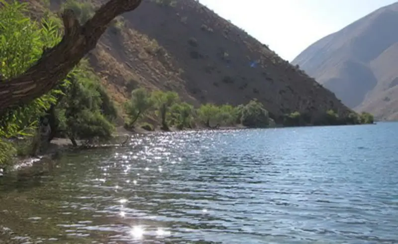
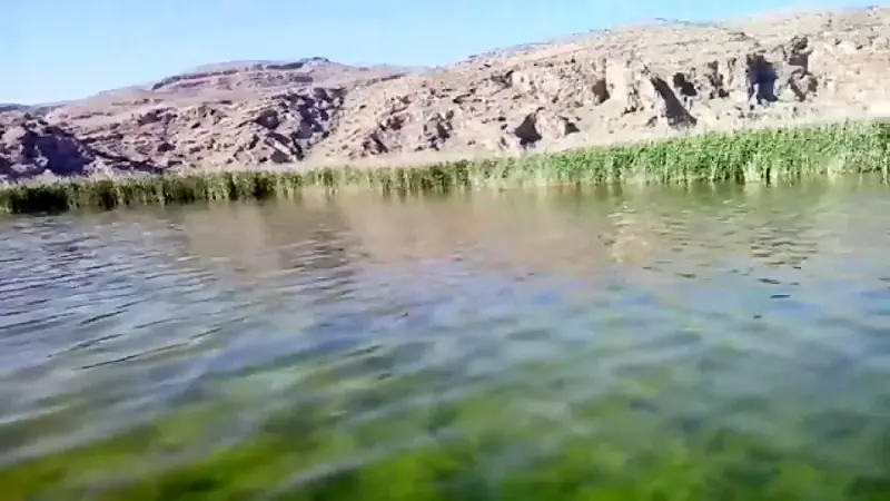
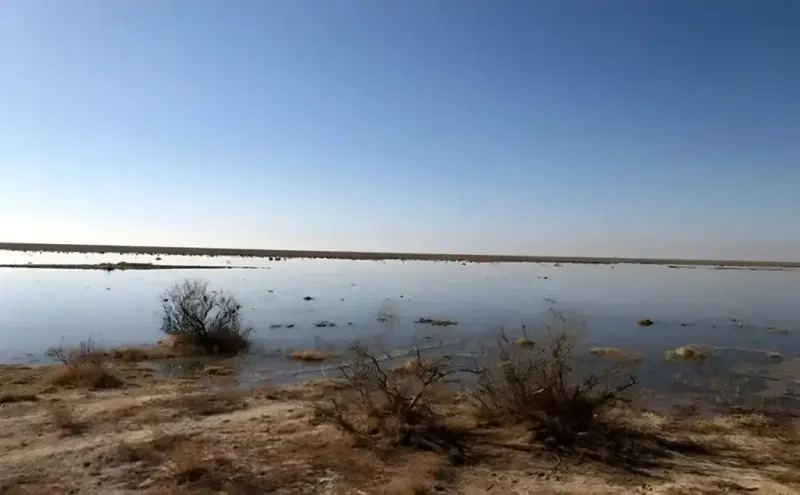
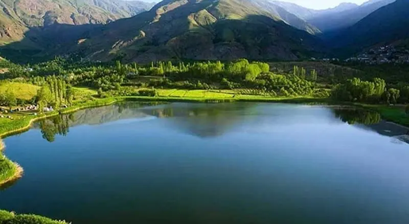
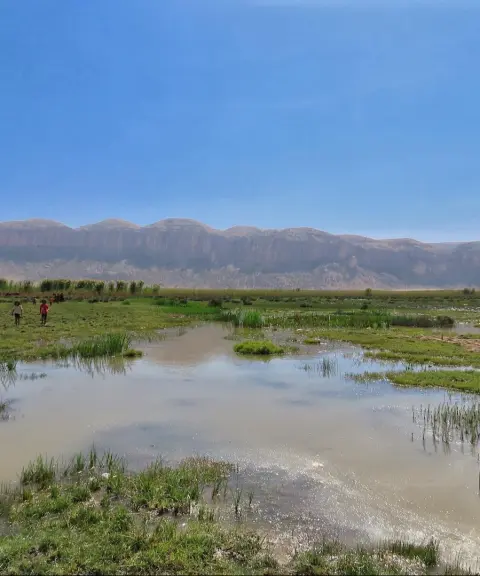
Parishan Lake is one of the largest freshwater lakes in Iran and the Middle East. It lies in the Jereh and Baladeh district of Kazerun County, close to the Abgineh Bridge. Covering nearly 4,300 hectares, the lake is registered as an international wetland under the Ramsar Convention and is classified as a protected area. It is known by the names Mur, Famur and Parishan. The lake is surrounded by mountains, and on the north side the distance between the lake and the mountains is about 4 to 5 kilometres.
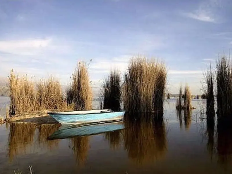
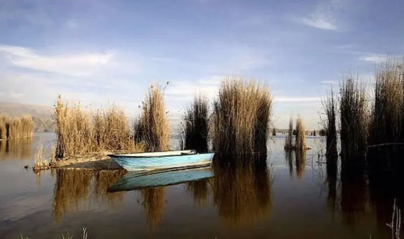
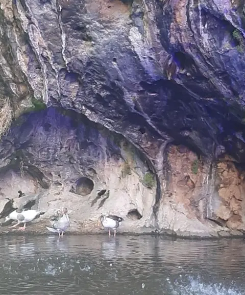
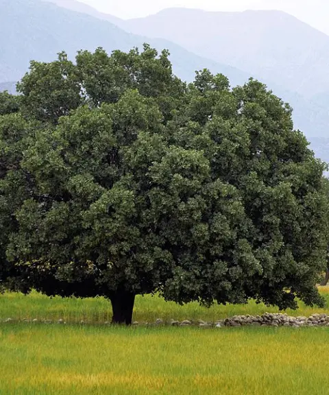
The vegetation of the area includes reeds, bulrushes, sedges and aquatic plants, as well as wild almond, oak, Persian turpentine (wild pistachio) and wild olive. In spring the area is covered with anemones and wild tulips. The area's wildlife includes birds such as flamingos, mallards, egrets, cormorants and terns; mammals such as wild boar, foxes, jackals and wildcats; and aquatic species including local fish such as carp and shirbot.
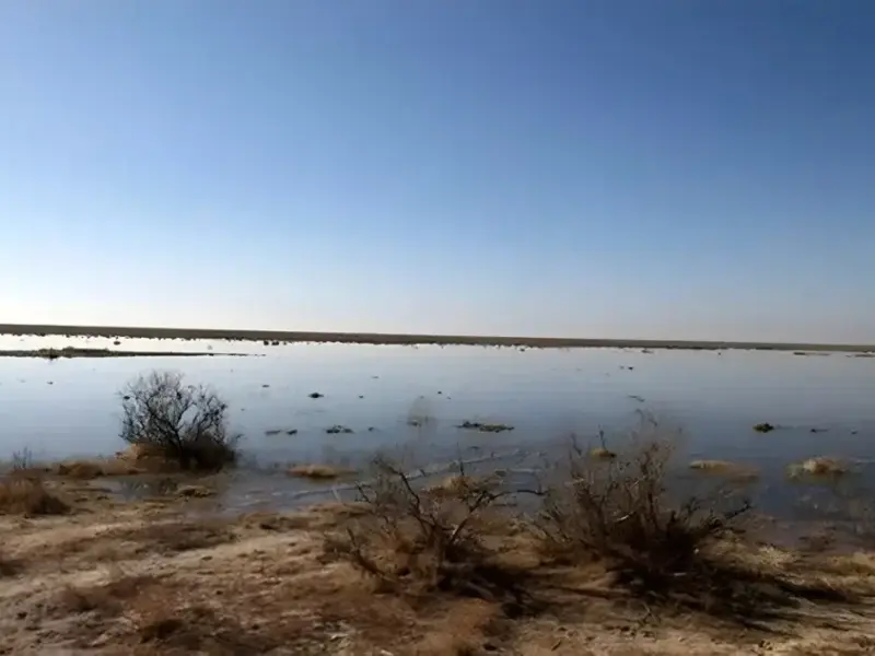
The best times to visit are spring and autumn. In autumn the weather is cool and the landscape turns golden, while in spring nature is at its best, lush and green and full of wildflowers. Visiting in summer is not recommended because the weather is very hot and the lake's water level drops sharply.
Written by ستایش عرب Last updated
Activities
What you can do here, and what it takes
-
Walking
از کفش مناسب پیادهروی استفاده کنید.
-
Mountaineering
مسیرهای اطراف دریاچه مناسب برای کوهنوردی است.
-
Rowing
این مکان مناسب برای قایقرانی است.
Specifications
Introduction of the location and specifications of Parishan Lake
Location:
Fars, Kazerun
Coordinates:
29.51582604, 51.79673129
Open in maps
Height above mean sea:
820 meter
Floras:
Semi-humid wetland and rangeland
Faunas:
Presence of Predatory Animals, Presence of Allergenic Insects, Presence of Herbivorous Animals
Transports:
Private car, Walking, Minibus, Bus
Tourist Attractions in Kazerun
Attractions that are nearby

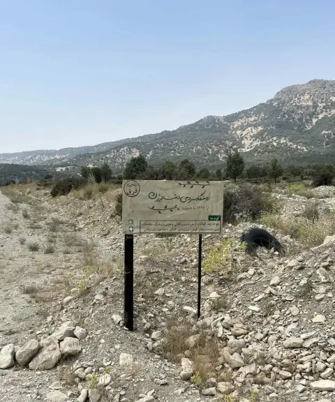

Arjan and Parishan Protected Area
Province Fars
- Walking
A unique biosphere reserve in the heart of the Zagros


Tang-e Dom Asb
Province Fars
- Canyoning
- Rock Climbing
- Walking
An Adventure in the Heart of the Kuhmareh Sorkhi Landscape

Related tags:
Unfortunately, no comments have been registered.