
 Attractions
- Ability level Intermediate
Ability level:
Intermediate
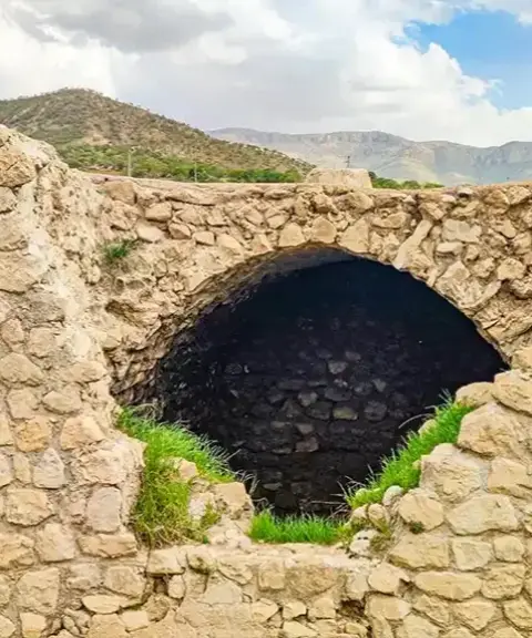
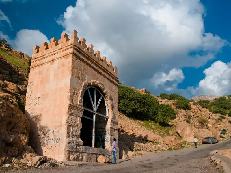
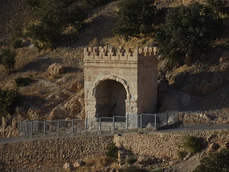
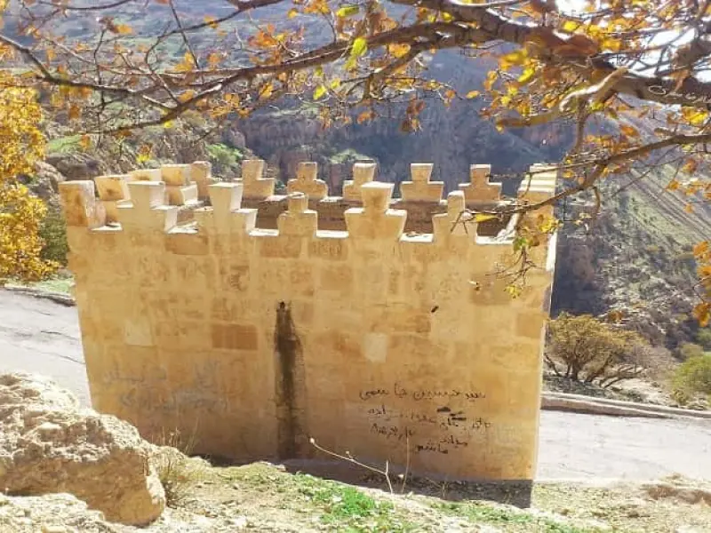
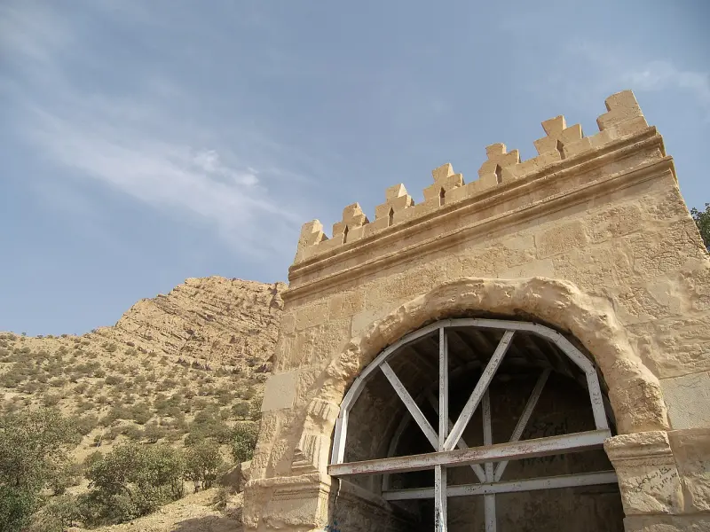
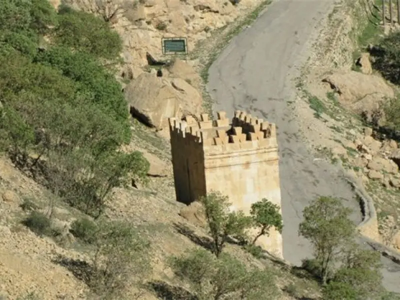
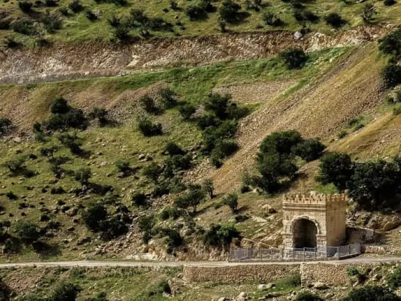
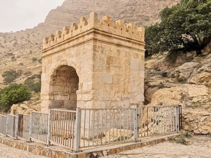
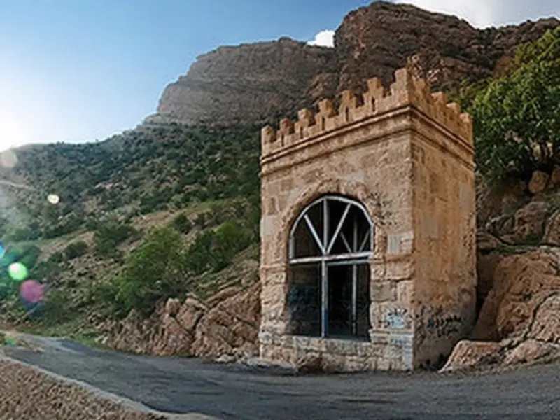
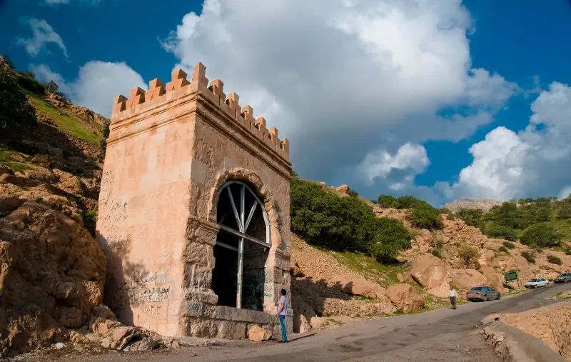
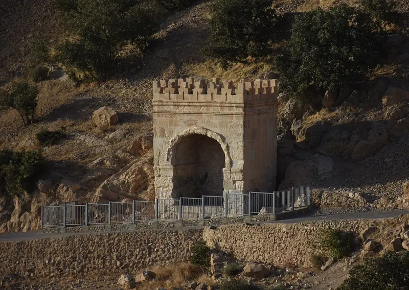
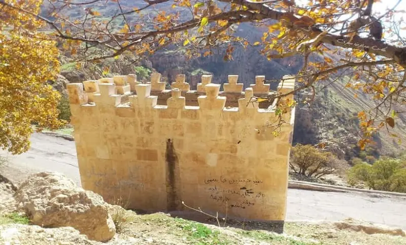
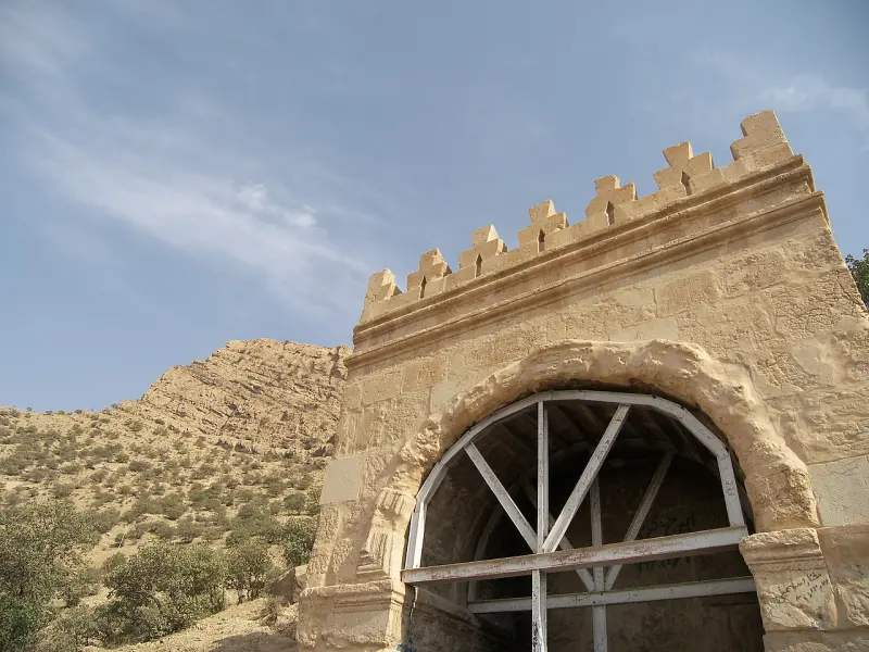
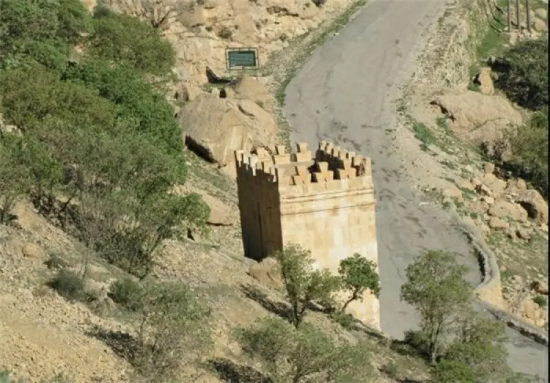
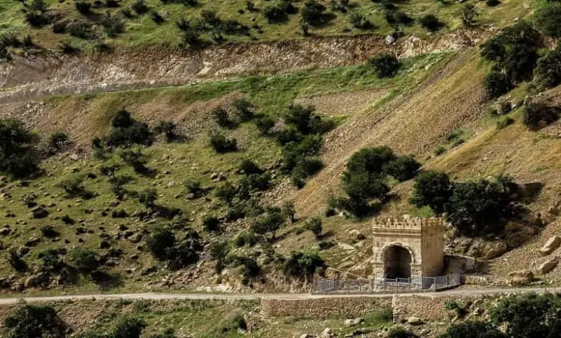
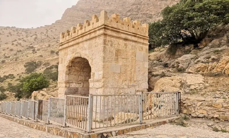
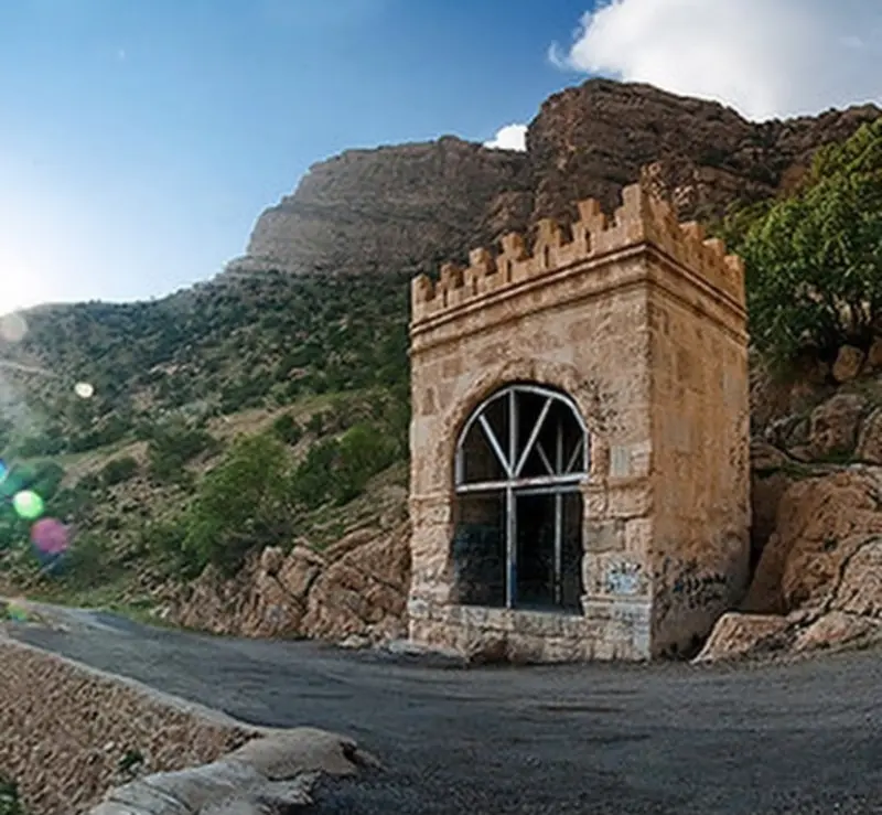
One of the historic and notable monuments of Kermanshah Province is Tagh-e Gara, a rectangular structure dating back to the Sasanian era. Tagh-e Gara, also known as Tagh-e Shirin, stands in the Pataq Pass on the road from Kermanshah to Sarpol-e Zahab, beside an ancient paved road that once linked the Iranian Plateau to Mesopotamia. Because the road has since been rerouted, the monument now lies on the lower slopes below the asphalt road. The name Tagh-e Gara actually derives from the "Garavand tribe". This tribe spoke Kurdish and Luri and was responsible for guarding the western borders of Iran. Research has shown that Tagh-e Gara was built in the late Sasanian period, and it was probably constructed during the reign of Khosrow II. The structure has no inscriptions; the only markings on it are two carved symbols dating from the Parthian period.
Architecturally, Tagh-e Gara is an iwan-like space built entirely of stone. This rectangular structure measures 4.86 by 7.70 metres, and its entrance faces south, overlooking the ancient paved road. Structurally, Tagh-e Gara was built of stone blocks cut into rectangular cuboids. The other materials used inside are gypsum mortar and rubble stone. The structure has taller flank walls that rise until the roof of the chamber is fully level; they stand 1.20 metres above the ground, and the height from the floor to the edge of the arch is 5.92 metres. From the edge of the arch to below the first haunch, the vault measures 1.20 metres.
Spring and autumn are the best times to visit this structure, because Kermanshah is very hot in summer and very cold in winter, which makes visiting a historic site somewhat difficult at those times. Visitors can see Tagh-e Gara at any hour of the day or night, and there is no need to pay a fee or buy a ticket. To reach this historic site, turn onto the side road on the left of the main road 200 metres after the Pataq checkpoint, and after about 500 metres you will reach the site.
Written by ستایش عرب Last updated
Activities
What you can do here, and what it takes
-
Walking
در اطراف این مکان میتوانید پیادهروی کنید.
Specifications
Introduction of the location and specifications of Tagh-e Gara
Construction Period:
Late Sasanian period
Location:
Kermanshah, Kermanshah
Coordinates:
34.43207360, 46.01738117
Open in maps
Height above mean sea:
1900 meter
Floras:
Temperate Grasslands
Faunas:
Presence of Predatory Animals, Presence of Herbivorous Animals, Presence of Allergenic Insects
Transports:
Private car, Walking, Minibus, Bus
Tourist Attractions in Kermanshah
Attractions that are nearby

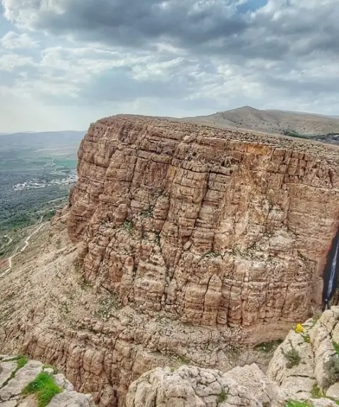

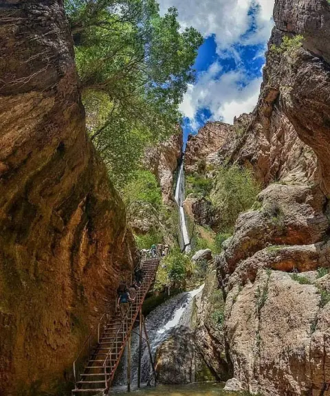

Piran Waterfall
Province Kermanshah
- Walking
- Rock Climbing
- Swimming
The tallest tiered waterfall in the Middle East
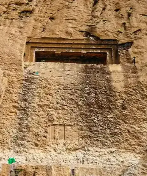
Dokkan-e Davud Rock-Cut Tomb
Province Kermanshah
- Walking
A historic tomb carved into the ancient rocks of Kermanshah

Related tags:
Unfortunately, no comments have been registered.