
 Mountain
- Ability level Intermediate
- Routes 3 recorded routes

Ability level:
Intermediate
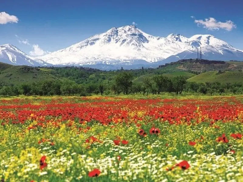
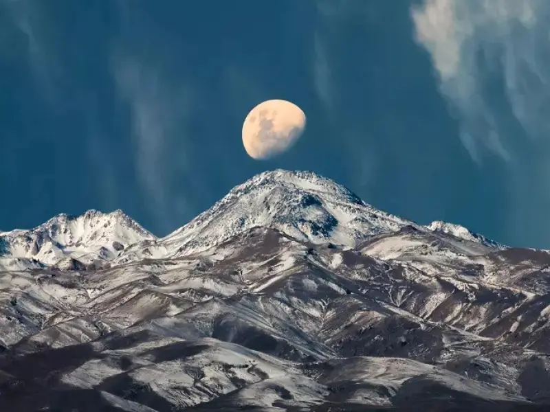
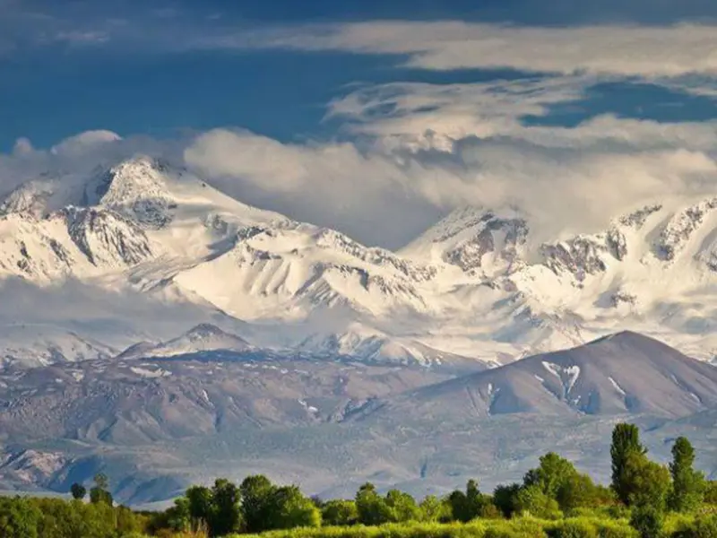
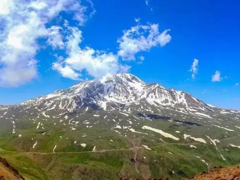
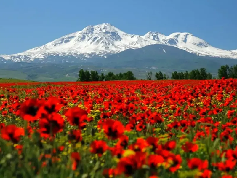
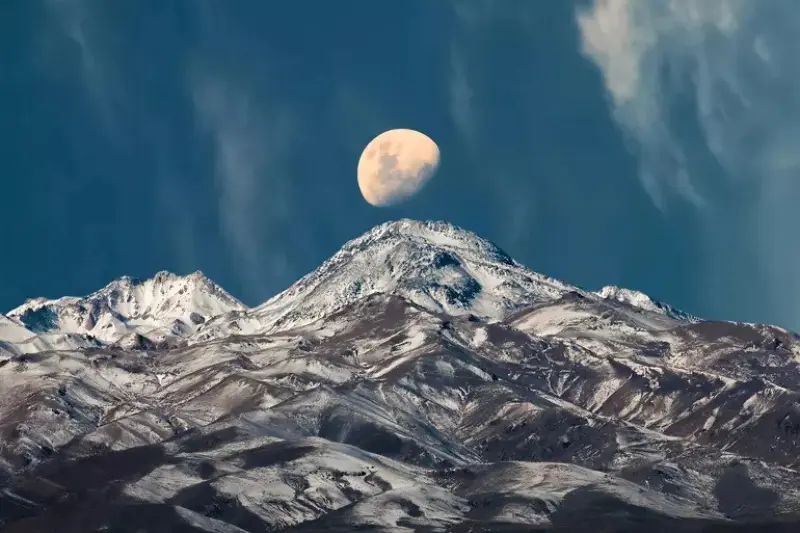
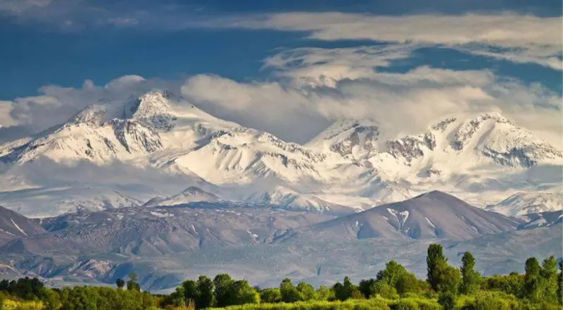
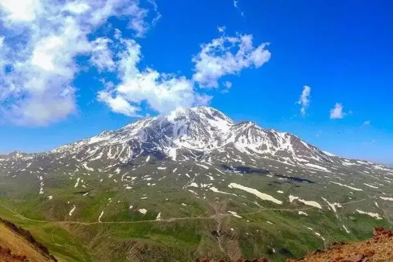
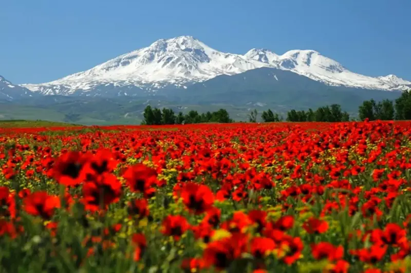
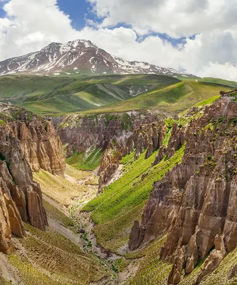
Sabalan, known in Azerbaijani Turkish as "Savalan", stands at 4,811 meters and is the third highest peak in Iran after Damavand and Alam-Kuh. Among the region's most important attractions are the natural hot springs on the mountain's slopes, its beautiful and unique scenery, and its glaciers and permanent snow, which led to the establishment of the Alvares ski resort. The summit of Sabalan, known in the Talysh language as "Salafon", is registered on Iran's National Natural Heritage list under number 19496/12.
According to the belief of some local people, Mount Sabalan is the place where Zoroaster received his prophetic calling. Even in Thus Spoke Zarathustra, Nietzsche's famous work, there is a reference to Zarathustra descending from Mount Sabalan. For this reason, the site holds a special sanctity among the people of the region, especially the locals and nomads. Some even believe that the tomb of this ancient prophet is located in this same mountain range.
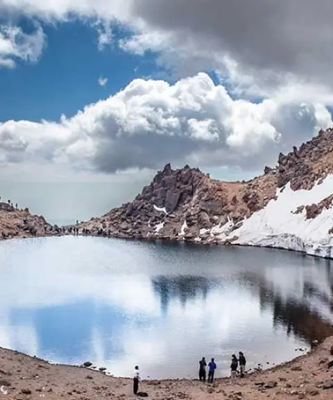
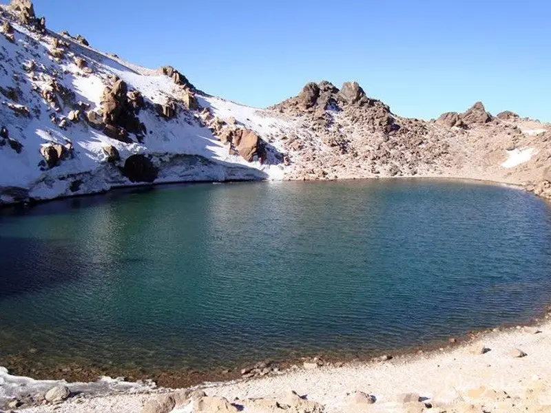
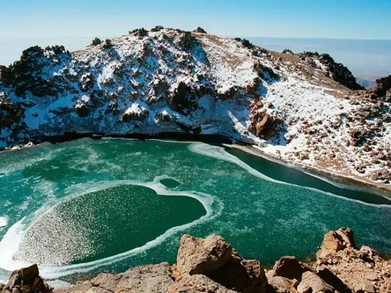
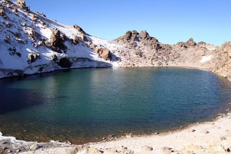
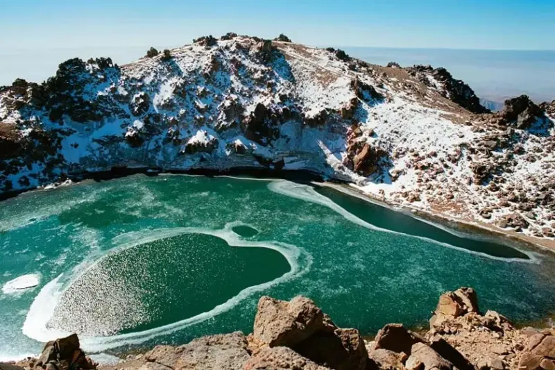
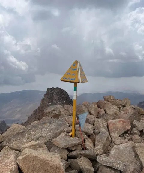
Sabalan has three well-known peaks in total. The highest peak of Sabalan is known as "Soltan" (Sultan). The other two peaks are called "Heram" and "Kasra". Another attraction of this area, which can be considered something of a symbol of Sabalan, is a natural rock in the shape of an eagle. Also known as Gartal, this rock stands on the western face of the Sabalan summit, next to the mountain shelter. Another feature of Sabalan is an oval-shaped lake near the top of the summit, which is considered one of the region's major tourist attractions.
Written by زهرا لنگری Last updated
Activities
What you can do here, and what it takes
-
Mountaineering
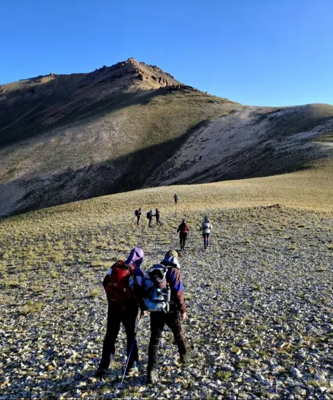
مدت زمان صعود به سبلان حدودا 10 ساعت است.
Specifications
Introduction of the location and specifications of Mount Sabalan
Location:
Ardabil, Meshgin Shahr
Coordinates:
38.26691862, 47.83679008
Open in maps
Height above mean sea:
4811 meter
Land Form:
Mountainous, Mountain
Faunas:
Presence of Predatory Animals, Presence of Allergenic Insects
Transports:
Only with technical climbing equipment, Private car, Minibus
Native Languages:
Turkey
Tourist Attractions in Ardabil
Attractions that are nearby

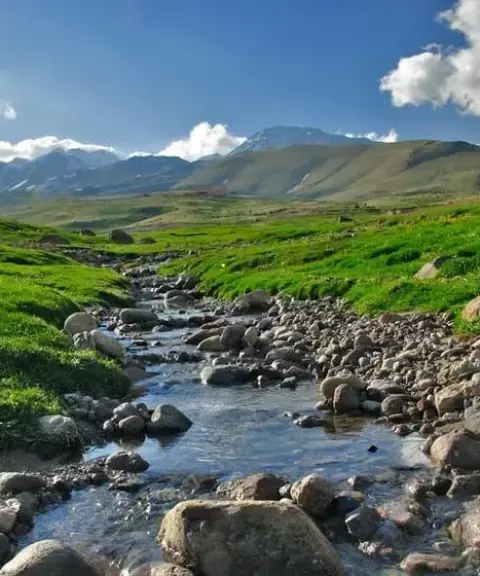

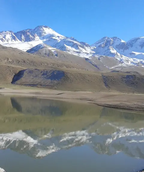
Tavus Goli Lake
Province Ardabil
- Walking
- Mountaineering
- Fishing
- Rowing
The Turquoise Jewel of the Sabalan Slopes
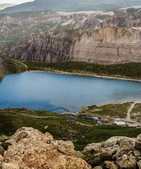

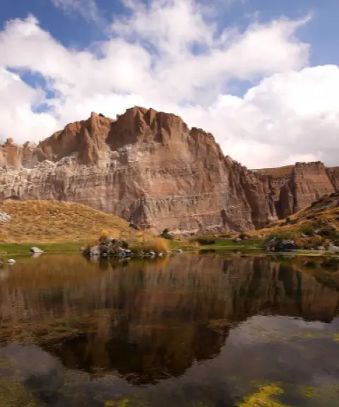
Jiran Goli Wetland
Province Ardabil
- Walking
- Rock Climbing
A seasonal ecosystem in the highlands of Ardabil
Shirvan Darehsi
Province Ardabil
- Walking
- Mountaineering
A pristine and spectacular valley on the slopes of Sabalan
Related tours
Tours in this area :)

Related tags:
Unfortunately, no comments have been registered.