
 Wetlands
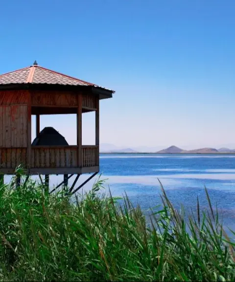
Dargeh Sangi Wetland
A pristine habitat in the heart of West Azerbaijan's nature
- Wetlands
- West Azerbaijan, Naqadeh
- Altitude 1,280 m
- Ability level Beginner
Ability level:
Beginner
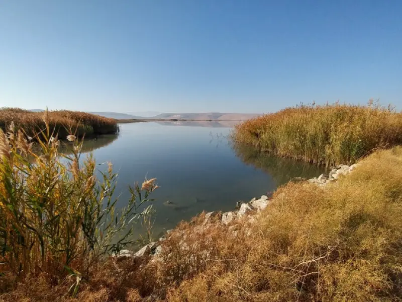
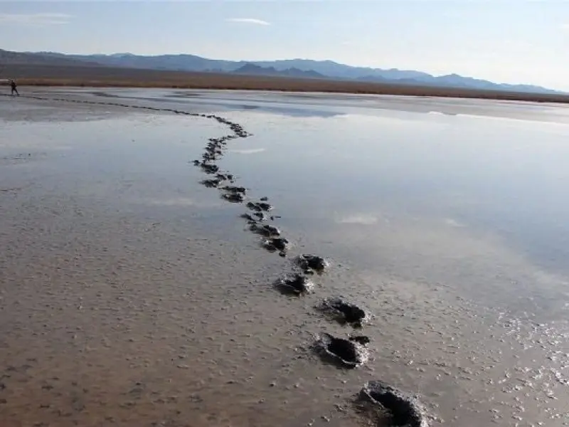
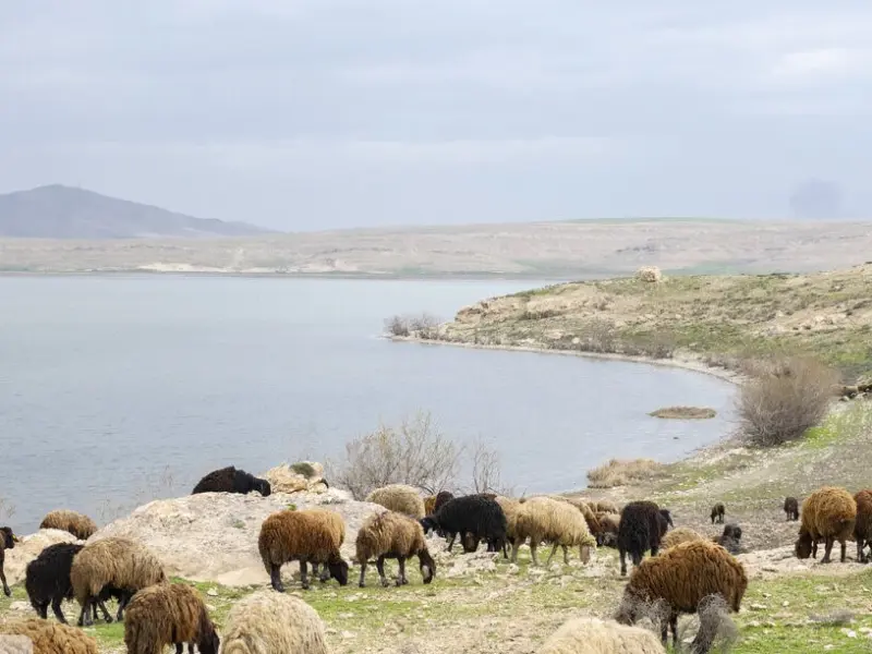
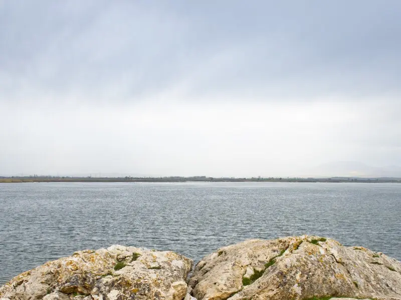
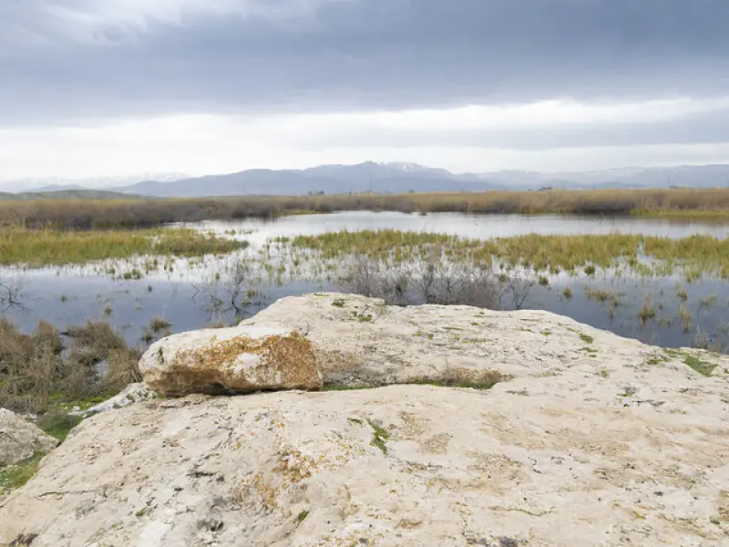
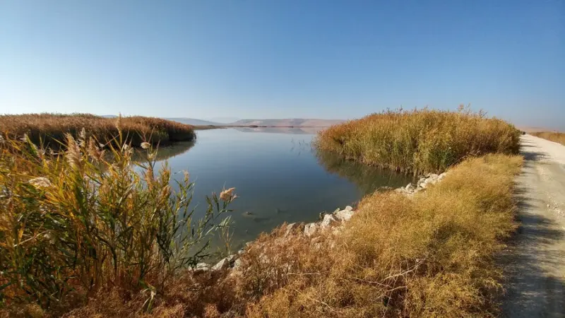
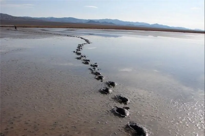
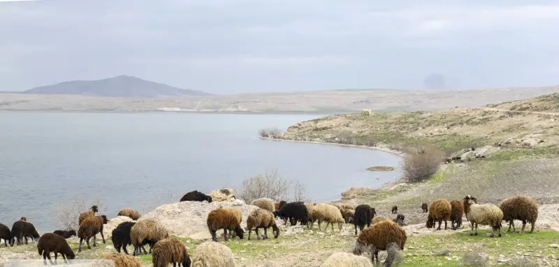
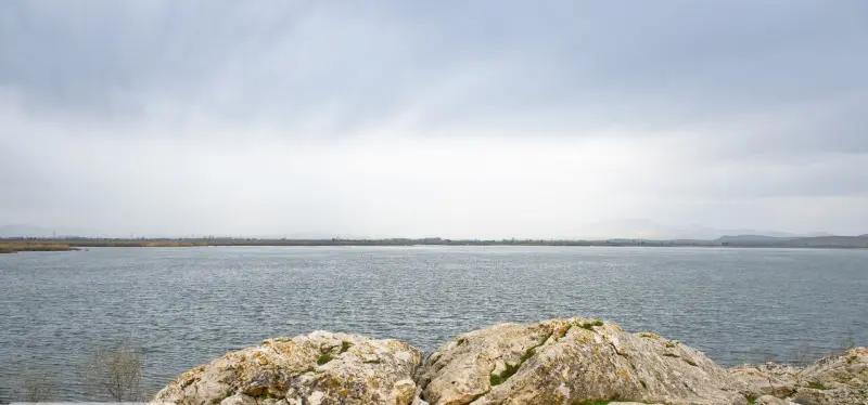
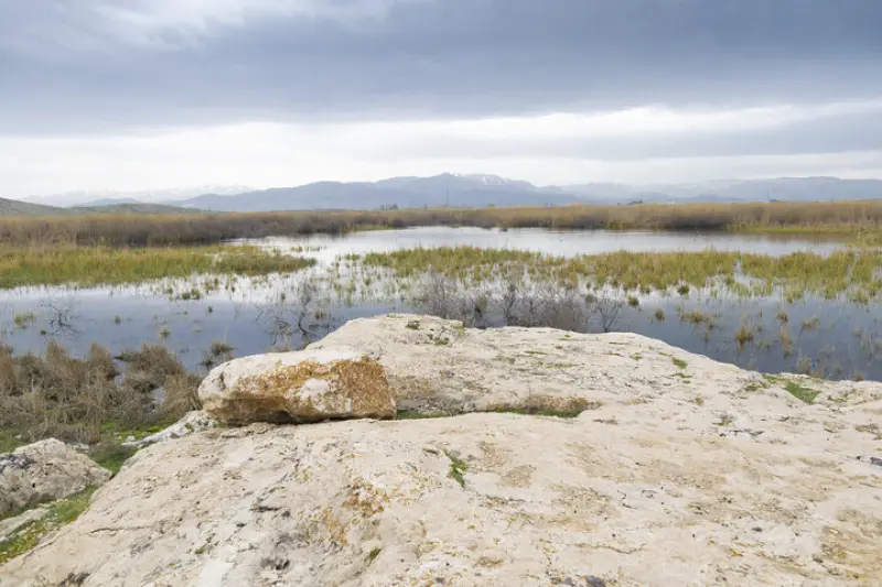
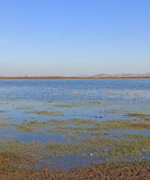
Dargeh Sangi Wetland lies at the far southern end of Lake Urmia, 20 kilometres from the city of Naqadeh. In the local dialect, the wetland is called Seyran Goli. This permanent wetland has a catchment area of 2,100 hectares and sits at an elevation of 1,280 metres above sea level. Its water comes from seasonal runoff after rainfall, surplus flow from traditional channels branching off the Gadar River of Naqadeh, springs, and groundwater seepage. To the north it is bounded by rocky mountain ranges, and to the west and southwest by low-lying, saline meadowland with a slope of 0 to 0.5 percent, which is submerged when the water level rises. To the east and south it ends in semi-rocky to rocky highlands with thin soil.
The vegetation and wildlife of Dargeh Sangi Wetland are very diverse, especially in its southern part. The water holds phytoplankton and invertebrate species such as various benthos and zooplankton. These features create a suitable habitat for waterbirds and shorebirds. Notable birds of the wetland include the flamingo, the white-headed duck, various ducks and the coot. The presence of these birds, together with the plant and animal species, gives Dargeh Sangi Wetland great ecological importance.
Dargeh Sangi Wetland lies along the Urmia–Mahabad road and can be seen from the roadside. To reach it, go to the Mohammadyar junction, then follow a 200-metre dirt road to the northeast to the village of Dorgeh Sangi, on whose edge the wetland lies. This easy access makes Dargeh Sangi Wetland a worthwhile place to visit in the region.
Written by زهرا لنگری Last updated
Activities
What you can do here, and what it takes
-
Walking
کفش پیادهروی به همراه داشته باشید..
Specifications
Introduction of the location and specifications of Dargeh Sangi Wetland
Location:
West Azerbaijan, Naqadeh
Coordinates:
37.03702325, 45.59512600
Open in maps
Height above mean sea:
1280 meter
Floras:
Semi-humid wetland and rangeland
Faunas:
Presence of Allergenic Insects, Presence of Herbivorous Animals
Transports:
Private car
Tourist Attractions in West Azerbaijan
Attractions that are nearby

Hasanlu Village
Province West Azerbaijan
- Walking
An Ancient Treasure in the Heart of West Azerbaijan
Kani Barazan Wetland
Province West Azerbaijan
- Walking
Iran's first official birdwatching site, in the heart of West Azerbaijan
Historic Laj Bath (Hammam)
Province West Azerbaijan
- Walking
A valuable Safavid relic in the heart of an ancient village near Mahabad
Related tags:
Unfortunately, no comments have been registered.