
 Gorge
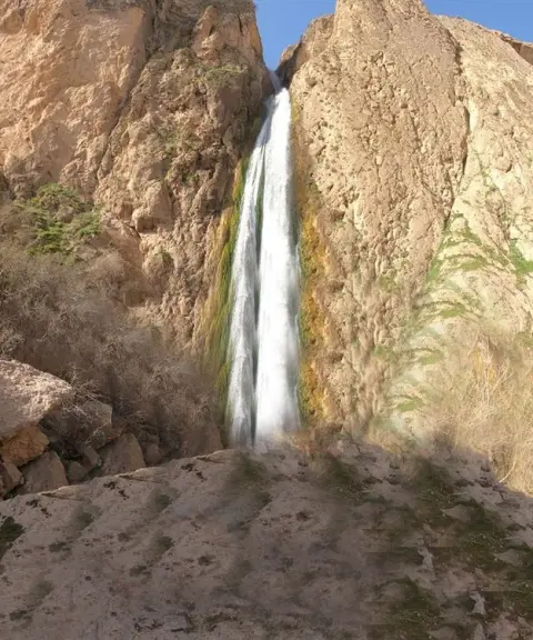

Hasani Pachar Waterfall
Province Fars
- Walking
- Canyoning
A mysterious canyon with roaring waterfalls and wildflowers
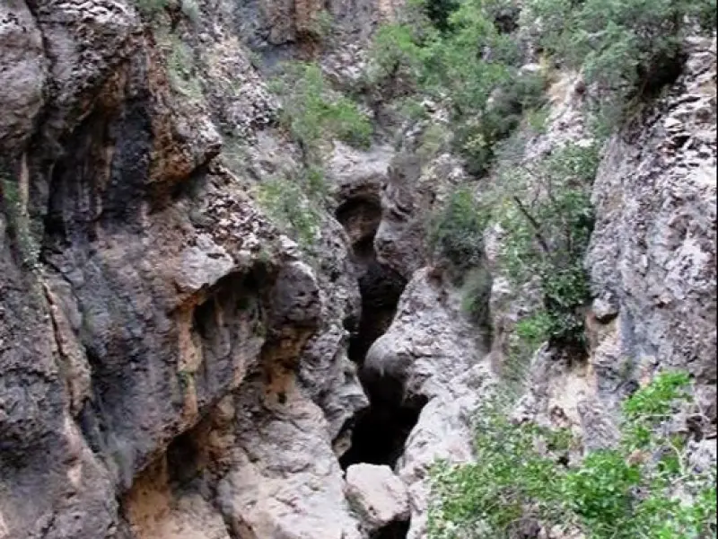
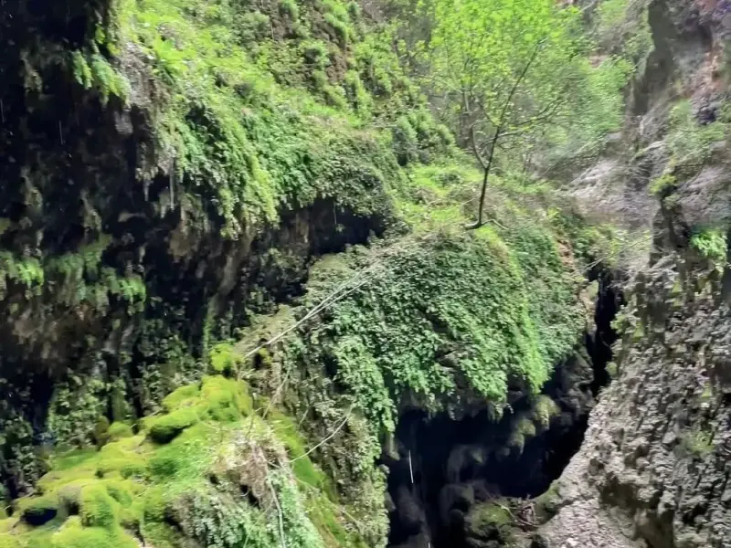
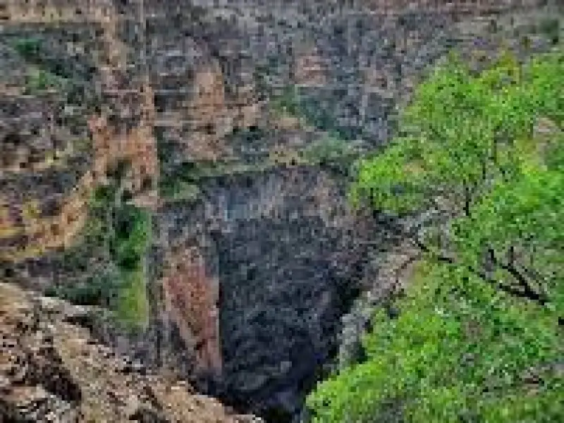
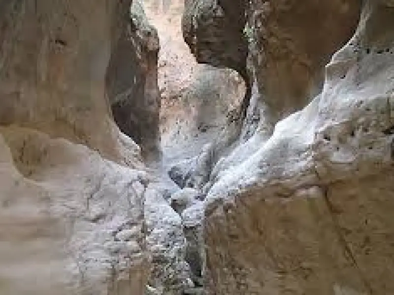
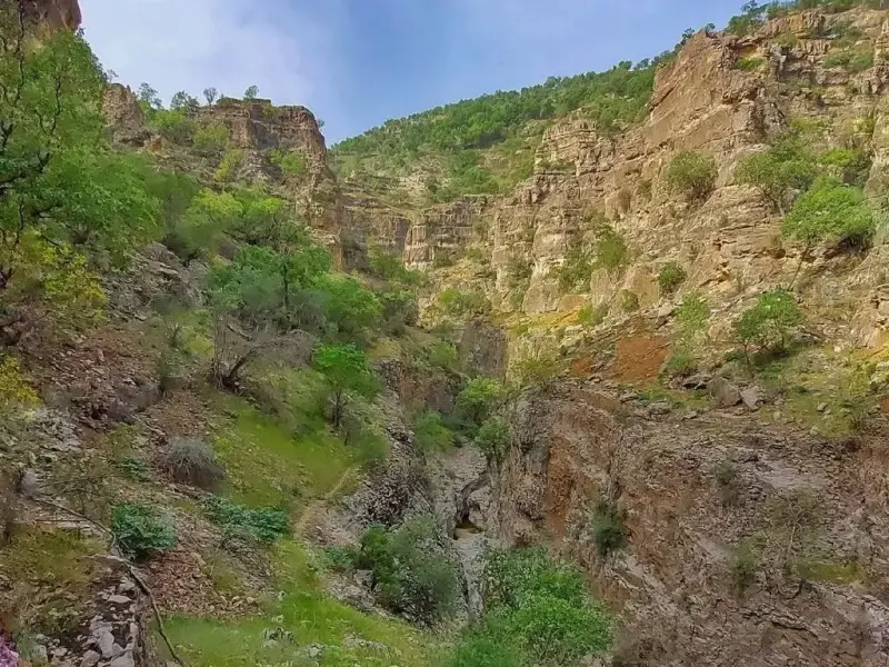
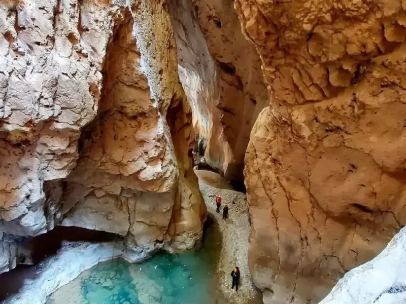
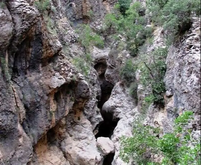
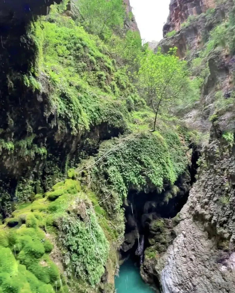
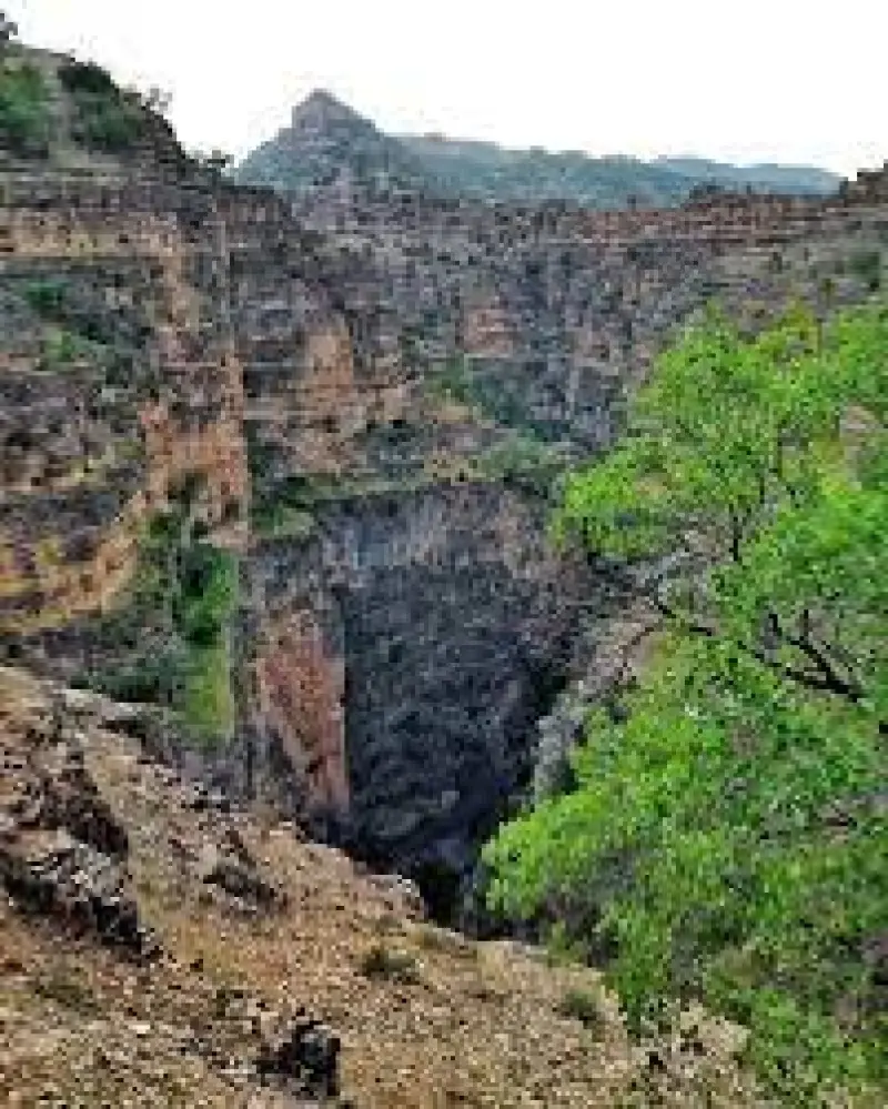
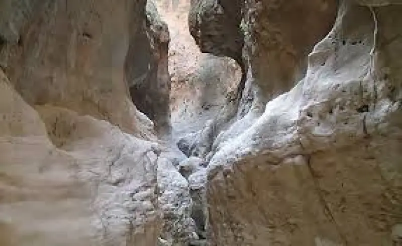
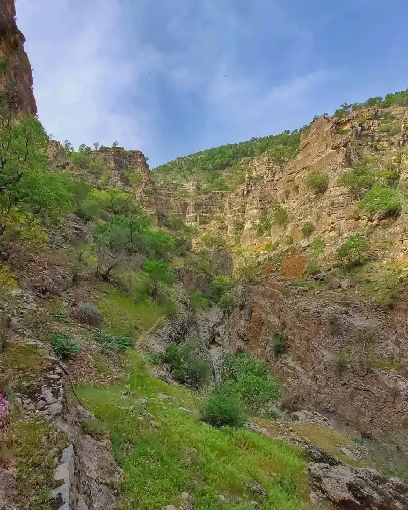
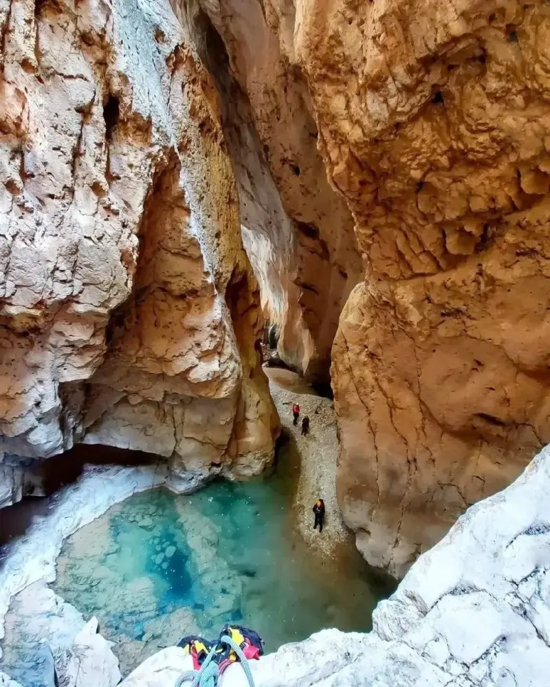
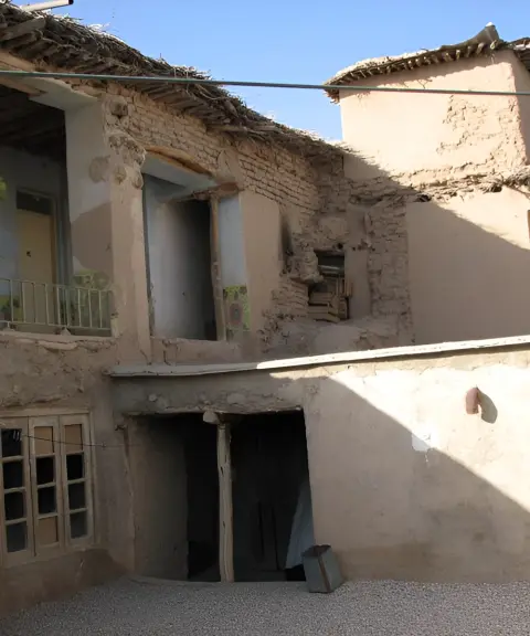
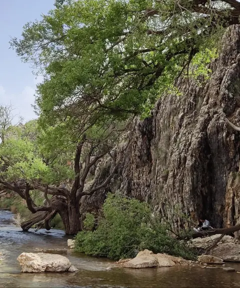
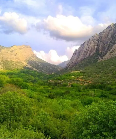
Tang-e Sajak, also known as "Tang-e Siyah Jak," is one of the technical and distinctive canyons of Fars Province. It lies downstream of Paqaleh village, in Dushman Ziari District of Mamasani County. You can reach the village via Mamasani, Ardakan, Beyza or Shiraz. Paqaleh village is built on a fairly steep slope at an elevation of 1,945 metres above sea level, in the east of the Zagros Mountains. The climate here is mild in spring and summer and cold in winter.
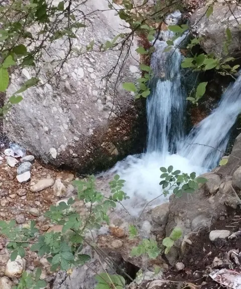
Traversing Sajak Canyon requires wading through watercourses and descending several waterfalls, which makes it one of the region's technical and adventurous canyons. The canyon was first explored in 2002 (1381 SH) by a group of nature lovers. The route through the canyon is about 5,500 metres long, and because the water is used for farming, it is not drinkable. The canyon is home to one of the most beautiful and tallest waterfalls in Fars Province, known as Paqaleh Waterfall, which is fed by two abundant springs called Khatiri and Rezaei.
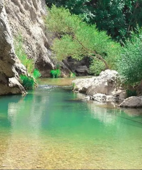
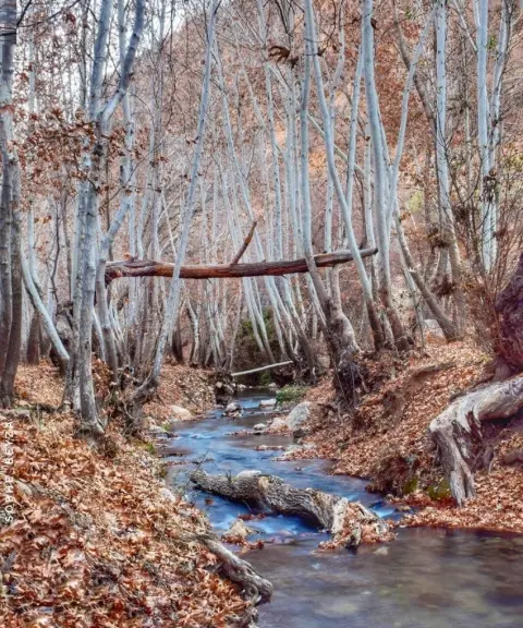
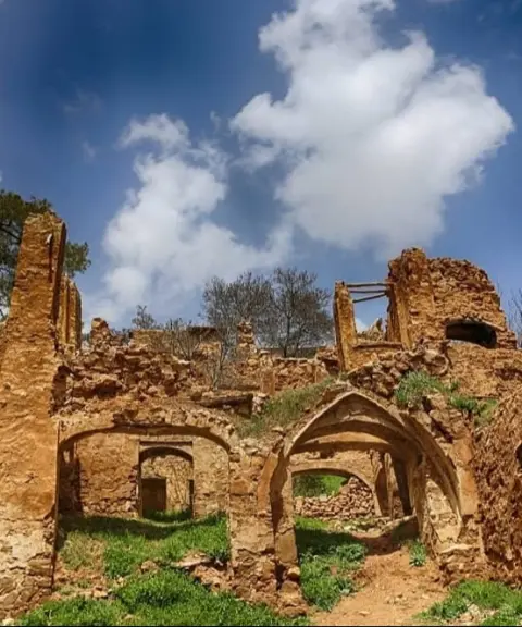
With its majestic roar, Paqaleh Waterfall, together with the pristine surrounding nature, plains full of cold-climate anemones, wild stocks and fritillaries (inverted tulips), creates a dreamy, peaceful atmosphere. Alongside these natural beauties, the Khatiri spring, northwest of the village, has long supplied water to orchards and farmland, and the remains of an old water mill can be seen nearby. Along the Shesh Pir River there is also a canyon with dense forest cover and waterfalls such as Hasani Bachar and Sajak, as well as the lush Javid area. The ancient mounds around the waterfall are signs of ancient civilizations and prehistoric settlements in the region.
Written by زهرا لنگری Last updated
What you can do here, and what it takes
کفش پیادهروی به همراه داشته باشید..
بدون مهارت درهنوردی نمیتوان به این تنگه رفت.
بدون مهارت صخرهنوردی امکان پیمایش این تنگه نمیباشد.
Province Fars
Province Fars
Province Fars


Unfortunately, no comments have been registered.