
 Mountain
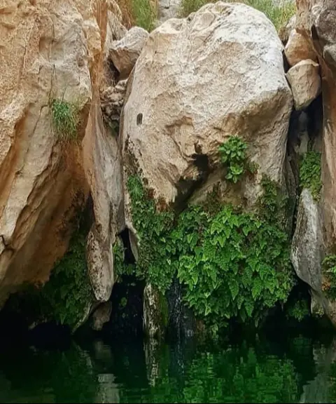
Birmi Peak
The Polished Rock of the Zagros in Southern Fars
- Mountain
- Bushehr, Khormoj
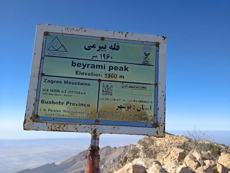
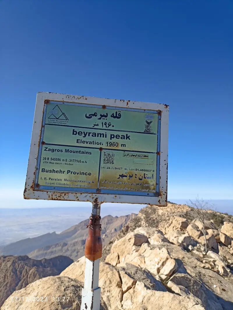
- Altitude 1,960 m
- Ability level Advanced
- Routes 1 recorded route
Ability level:
Advanced
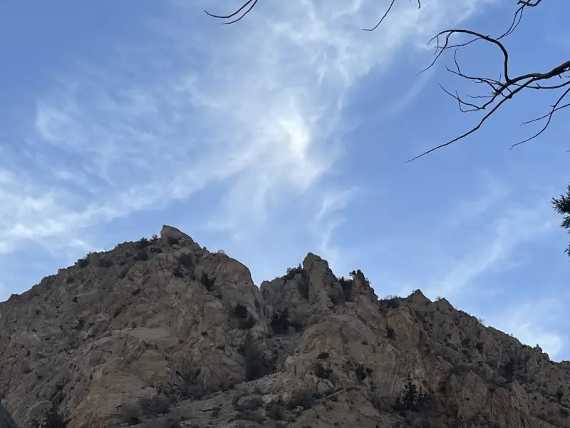
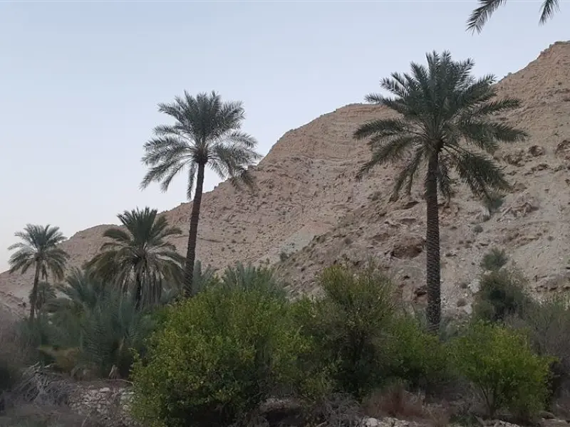
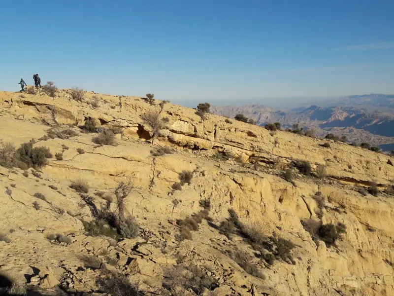
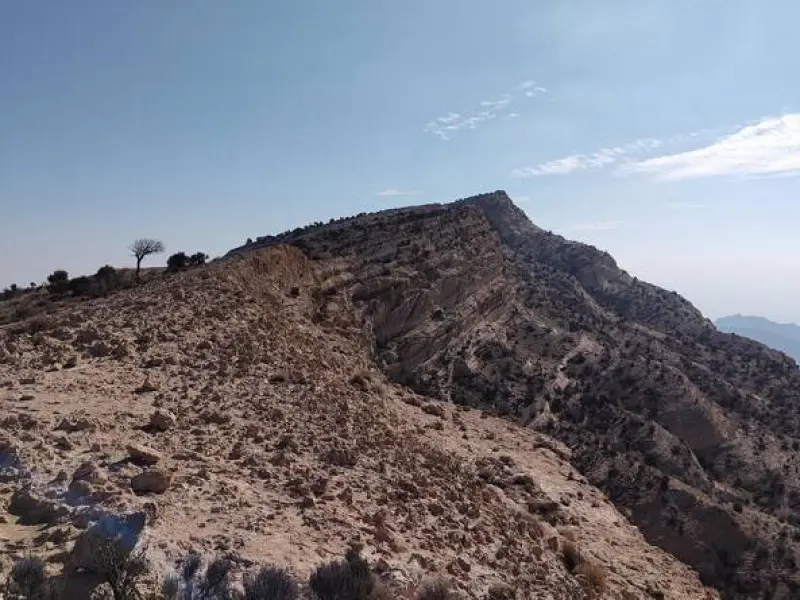
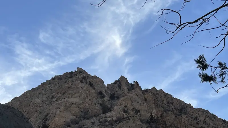
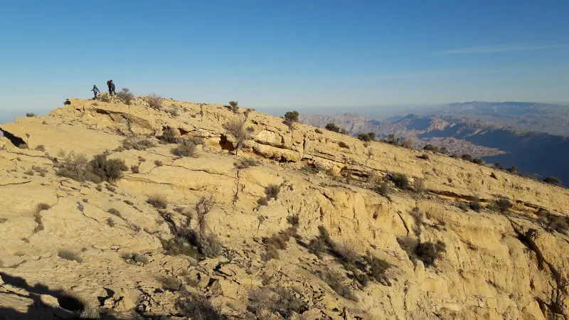
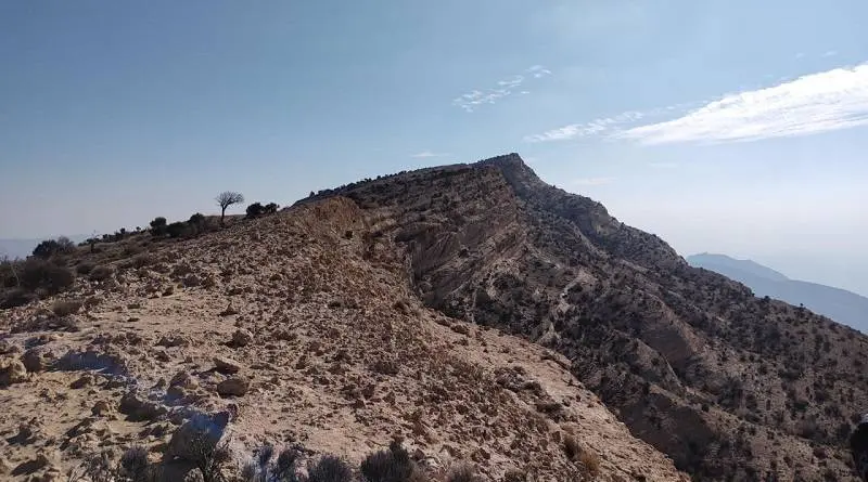
Mount Birmi, the highest mountain in Bushehr Province with an average elevation of 1,950 metres, lies east of the city of Khormoj, stretching across the counties of Tangestan, Dashtestan and Dashti. This steep, rocky mountain is regarded as one of the most prominent peaks in southern Iran and holds a special place in environmental terms, as well as for mountaineering and tourism. The best-known summit of this range, called "Pazanan", is also the highest point in Bushehr Province.
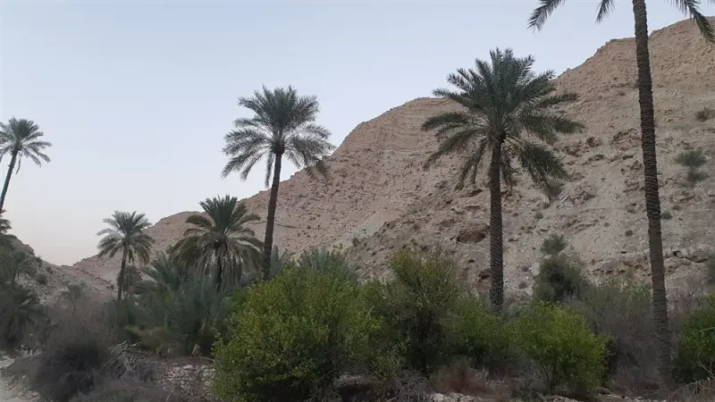
Mount Birmi has diverse vegetation, including trees and shrubs such as wild pistachio (baneh), wild almond, kalkhonak, thyme, wormwood (artemisia), tangaz, qeych and ganzeh, creating an environment rich in biodiversity. The area is also home to animal species such as leopard, wild goat and ibex, mouflon (ram and ewe), wolf, fox, jackal, chukar partridge, see-see partridge, cuckoo and a variety of small birds (passerines), which makes it one of the important areas for wildlife lovers and nature tourism.
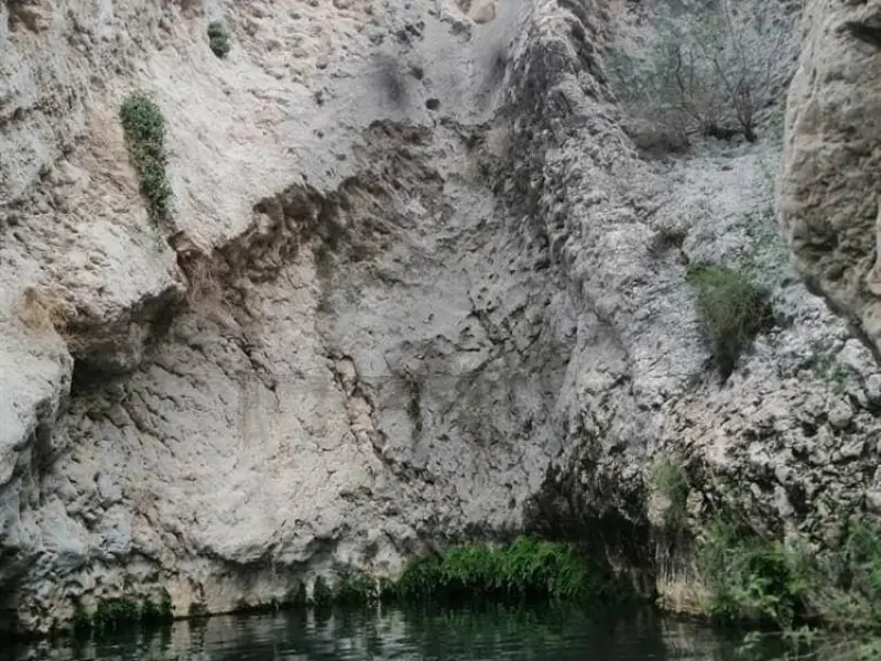
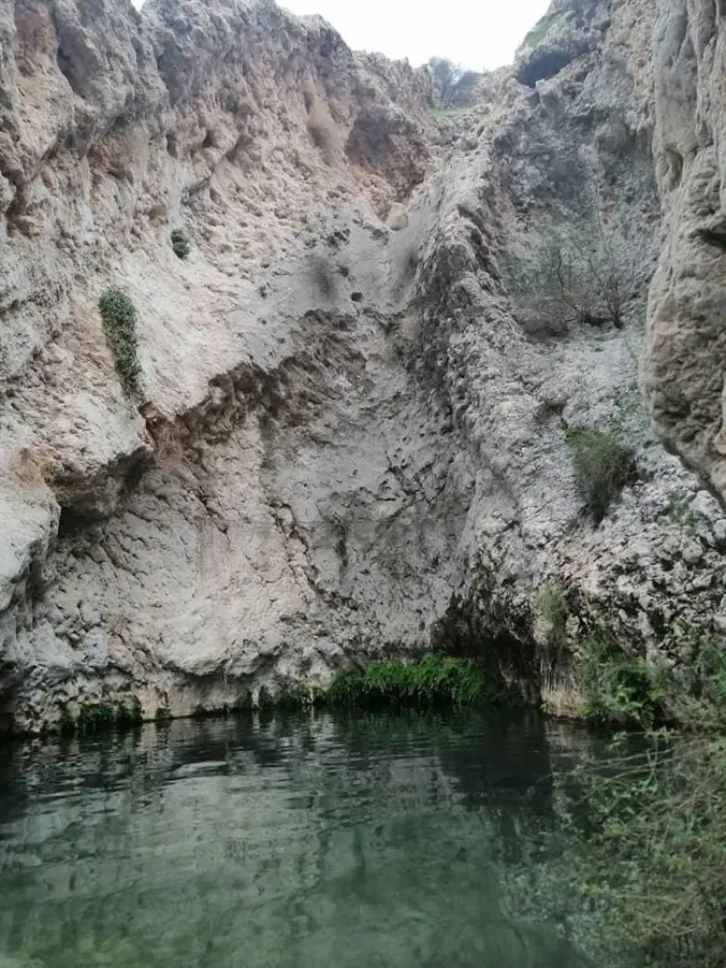
Within the Mount Birmi area there are several scenic gorges and hunting grounds, including Tang-e Sedr, Tang-e Palangi, Tang-e Bariko, Tang-e Shirineh and Tang-e Parzieh. Besides their environmental role, these areas are pristine attractions for climbers and adventurers. To the south of the range lie the Jashak salt dome (Mount Jashak) and Mount Derang, which, together with Birmi, form a unique landscape of the mountains of southern Iran. The peak has a hot, dry climate, and the best time to climb is during the cold months, that is, winter and early spring. In summer the temperature can exceed 50 degrees Celsius, and the southern routes, which are steep and dangerous, are not suitable.
Written by زهرا لنگری Last updated
Activities
What you can do here, and what it takes
-
Walking
کفش پیادهروی به همراه داشته باشید.
-
Mountaineering
بدون تجهیزات لازم کوهنوردی نمیتوانید به این کوه بروید.
Specifications
Introduction of the location and specifications of Birmi Peak
Location:
Bushehr, Khormoj
Coordinates:
28.72085100, 51.46768570
Open in maps
Height above mean sea:
1960 meter
Land Form:
Mountainous, Mountain
Floras:
Deserts and Dry Shrublands
Faunas:
Presence of Predatory Animals, Presence of Allergenic Insects
Transports:
Private car, Only with technical climbing equipment
Tourist Attractions in Bushehr
Attractions that are nearby





Kalut Bujir
Province Bushehr
- Walking
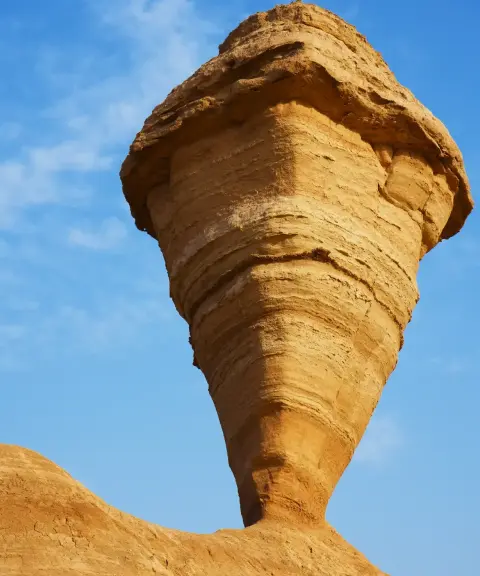
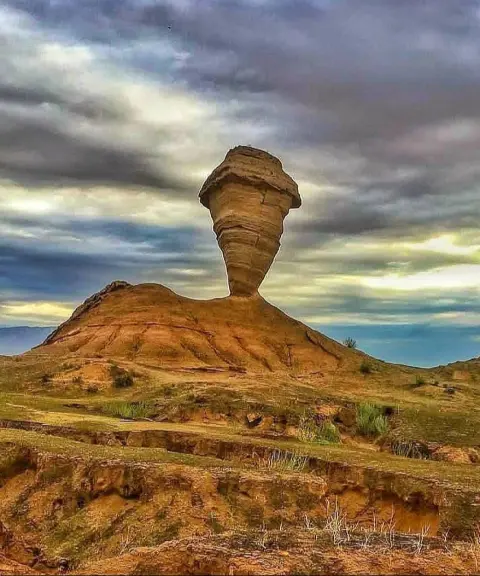
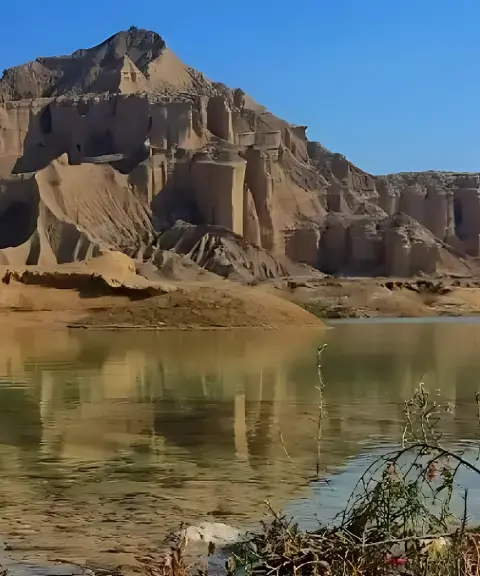
A combination of kaluts and a wetland near Bandar Mohammad Ameri
Related tags:
Unfortunately, no comments have been registered.