
 Mountain
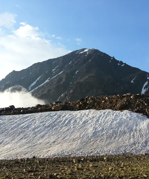
Siah Kaman Peak
Province Mazandaran
- Mountaineering
- Walking
The Crown of Alam Kuh in the Northern Alborz
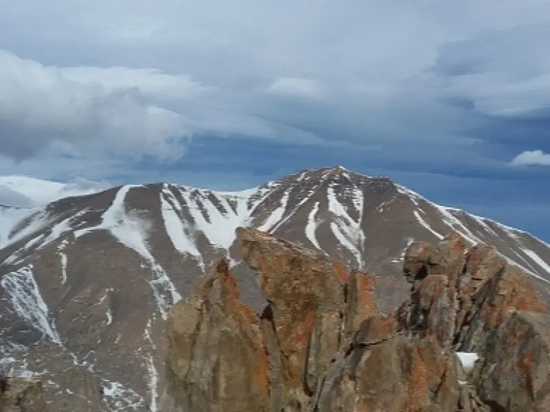
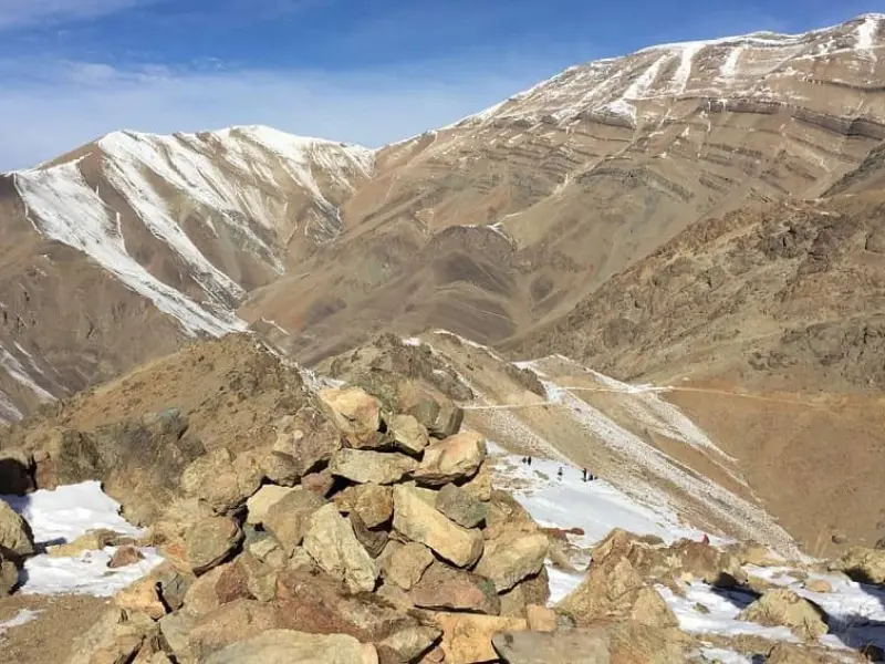
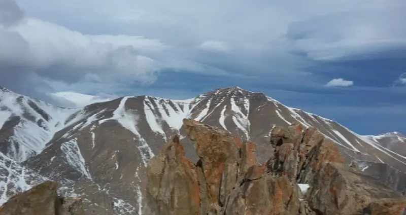
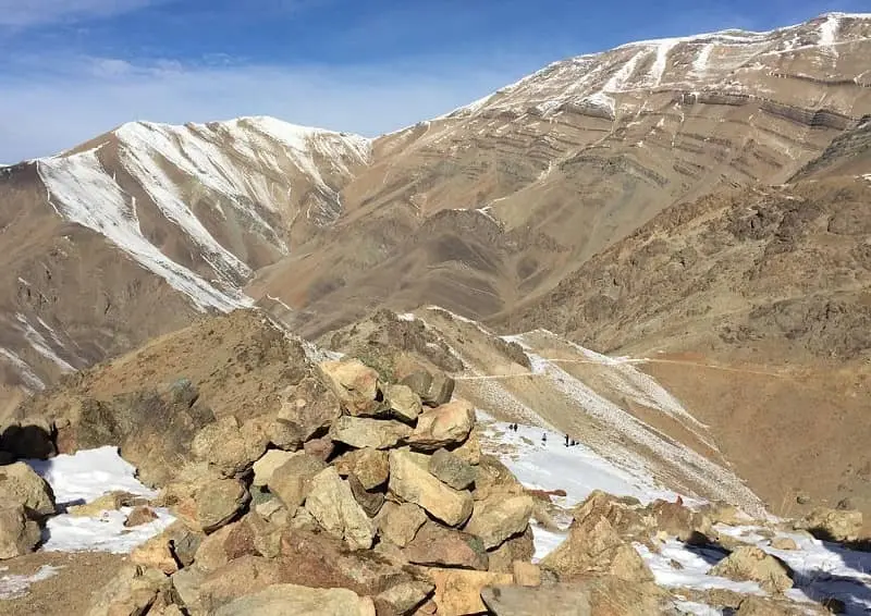
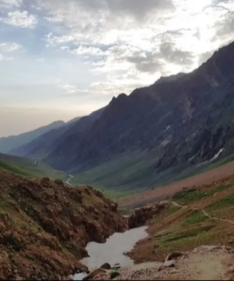
Pasand Kuh Peak (pronounced "Pasandeh Kuh") is a secondary summit of the Alam Kuh massif, located in Mazandaran Province (Kelardasht), in the Vandarbon district. With its unique and striking shape, the mountain is said to captivate every onlooker at first sight. This may well be the reason it was named "Pasand Kuh" ("the Favorite Mountain"). The peak can be seen from villages such as Hasan Keif and Rubarak, and it invites mountaineering enthusiasts to an exhilarating ascent.
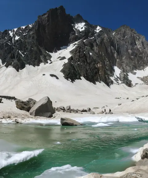
Pasand Kuh lies on the northern flank of the Siah Sang–Chalun ridge and is in fact the first peak along this ridge. Geographically, it is located where the Tangelu and Barir roads meet, at the Vandarbon fork. Its slopes run down to the Vandarbon fork on the south side, and on the west to the Sardabrud River and the Kaljaran fork. The southern side of Pasand Kuh also overlooks the beautiful Hasarchal area. This pointed peak is marked by several rocky ridges and is connected to Siah Kaman Peak by a saddle-shaped col. This connection makes it possible to continue toward the Siah Sang Pass and prominent summits such as Alam Kuh and Shakhak.
As for the height of Pasand Kuh, various sources give figures between 3,880 and 4,000 meters, but an approximate height of 3,950 meters seems more reliable and accurate. The best time to climb is late spring to summer; in winter and early spring there are damp, penetrating cold and avalanche risk. A one-day trip is feasible with adequate preparation, but winter routes with technical scrambling sections require experience, full equipment, and either free solo climbing or a rappel with anchors.
Written by زهرا لنگری Last updated
What you can do here, and what it takes
کفش پیادهروی به همراه داشته باشید.
بدون تجهیزات لازم کوهنوردی نمیتوانید به این کوه بروید.
Province Mazandaran
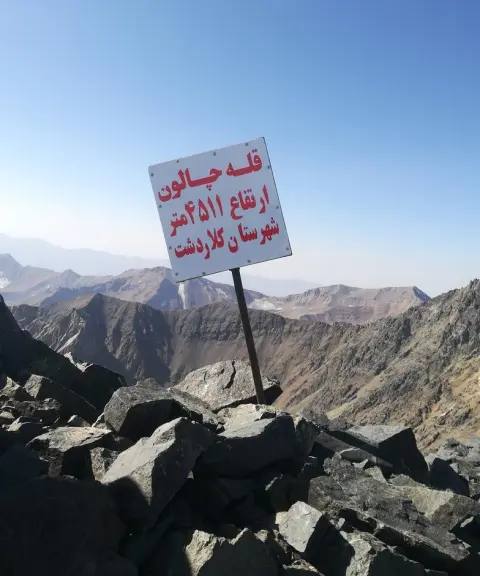
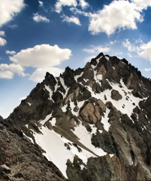
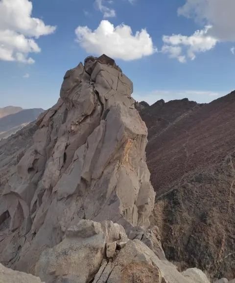
Province Mazandaran
Province Mazandaran
Province Mazandaran
Province Mazandaran


Unfortunately, no comments have been registered.