
 Attractions
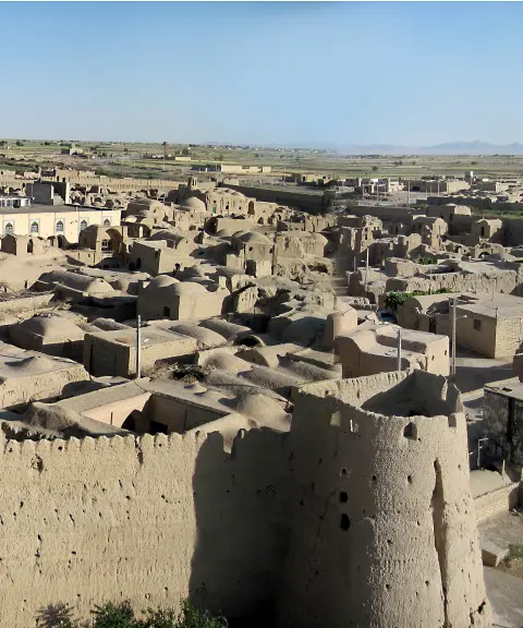
Ghurtan Village
A Citadel Thousands of Years Old Beside the Zayandeh Rud
- Attractions
- Isfahan, Varzaneh
- Altitude 1,480 m
- Ability level Beginner
Ability level:
Beginner
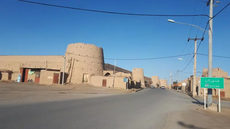
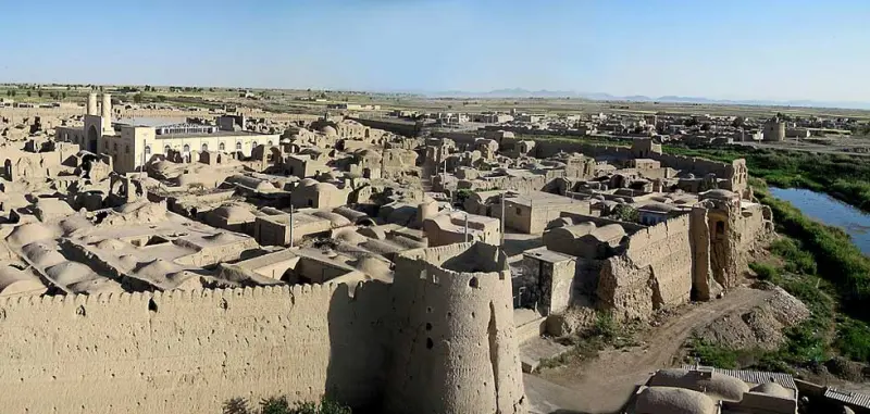
Ghurtan, one of the historic and scenic villages of Isfahan Province, lies in the central district of Varzaneh County and is the administrative center of North Gavkhouni Rural District. The village is 105 kilometers east of the city of Isfahan, 10 kilometers from Varzaneh and 35 kilometers from the Gavkhouni Wetland. It sits close to the Zayandeh Rud, a river that flows past the south of the village and empties into the Gavkhouni Wetland. According to the 2016 census (1395 in the Solar Hijri calendar), it has a population of about 1,283.
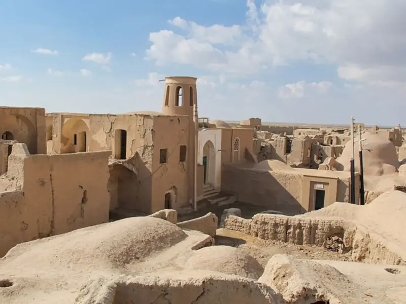
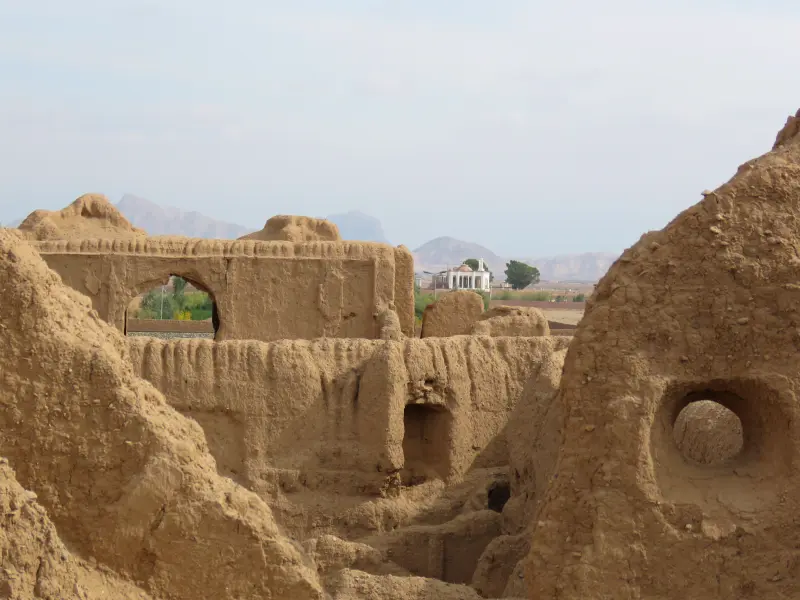
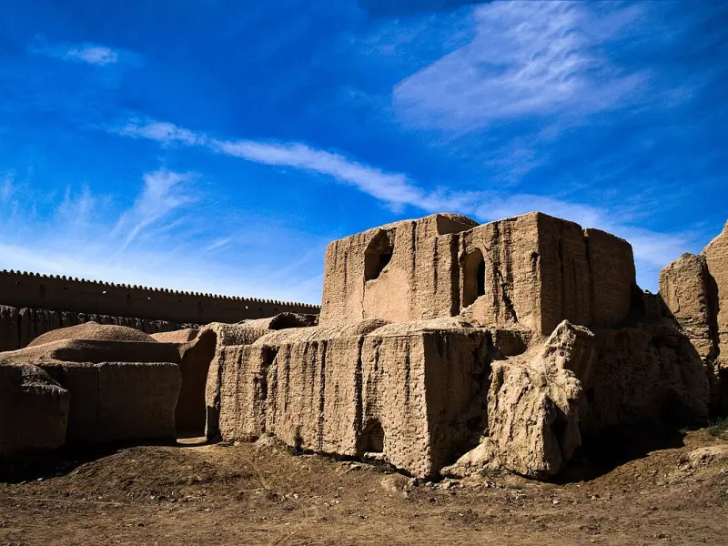
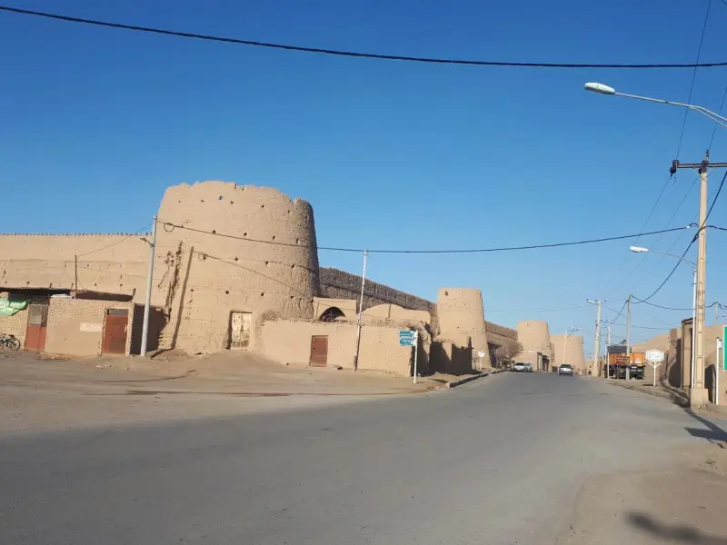
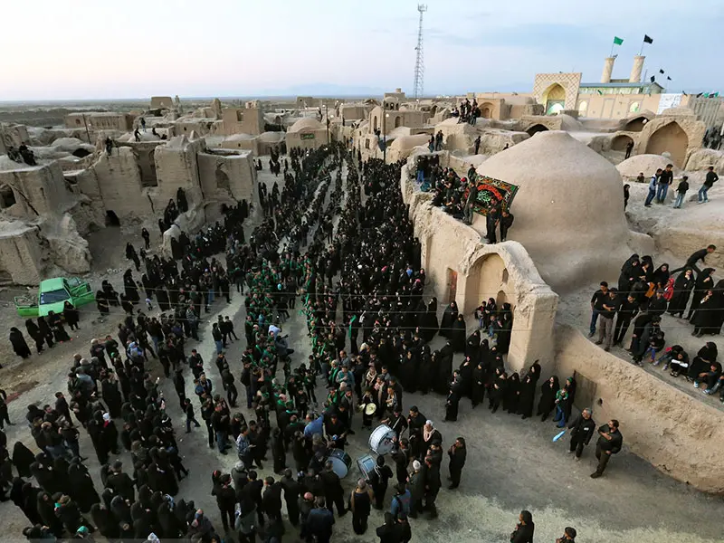
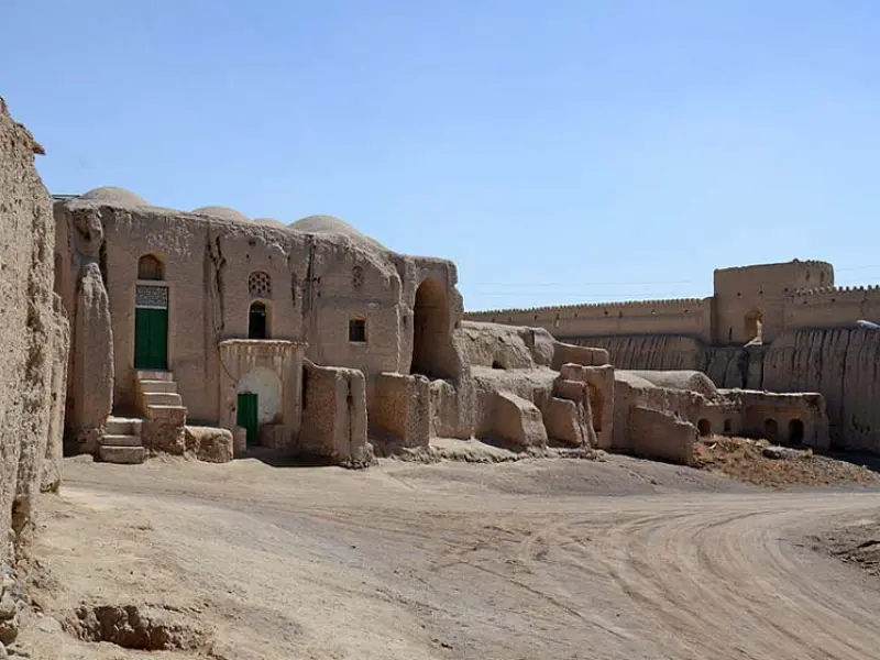
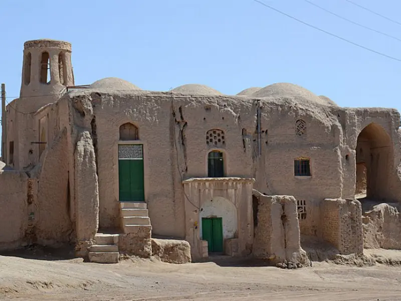
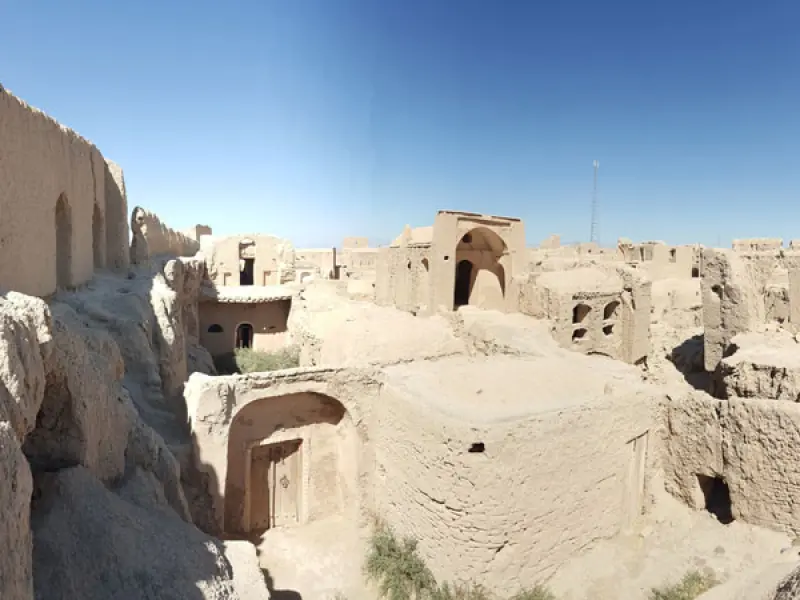
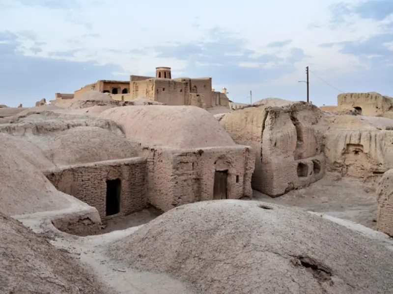
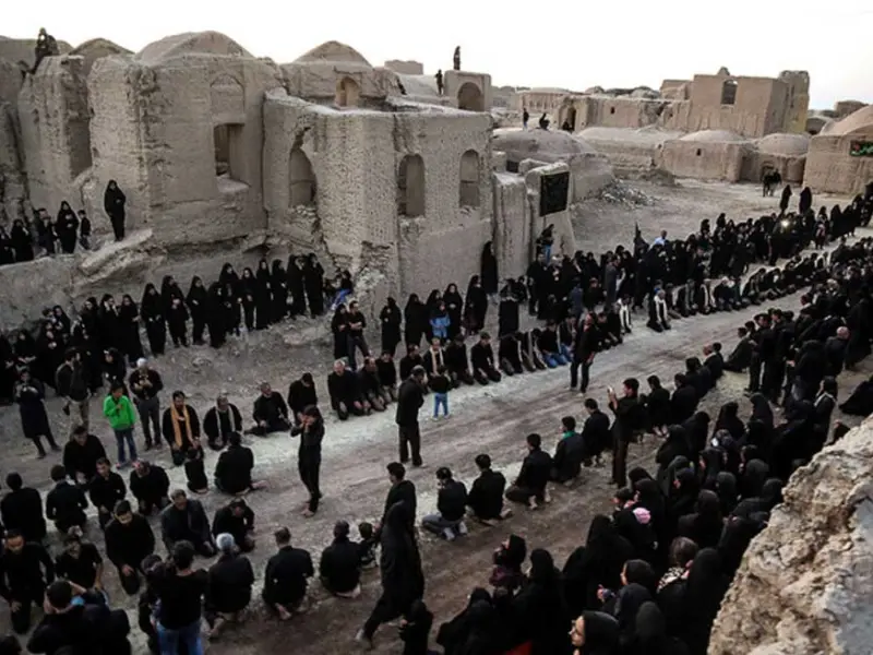
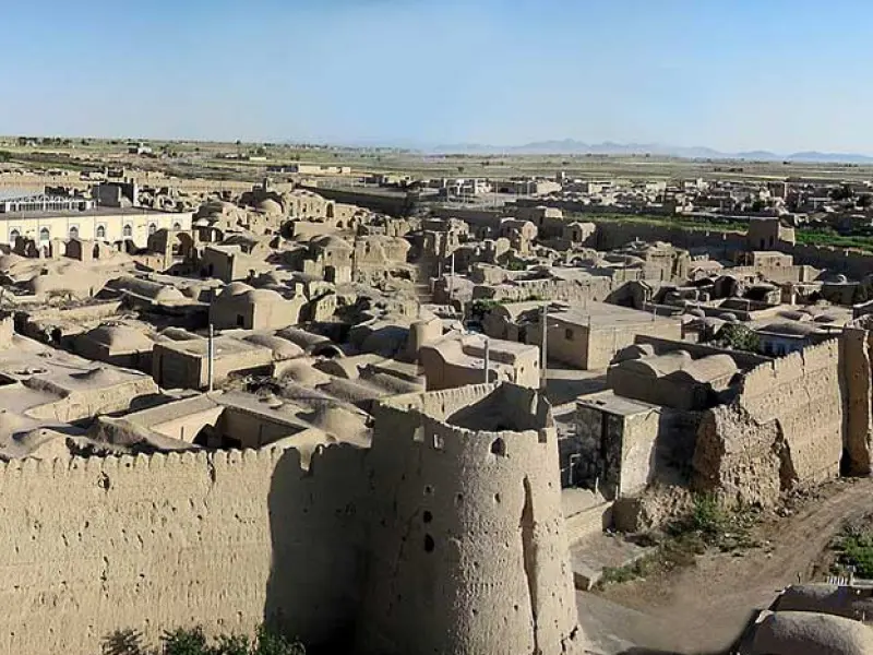
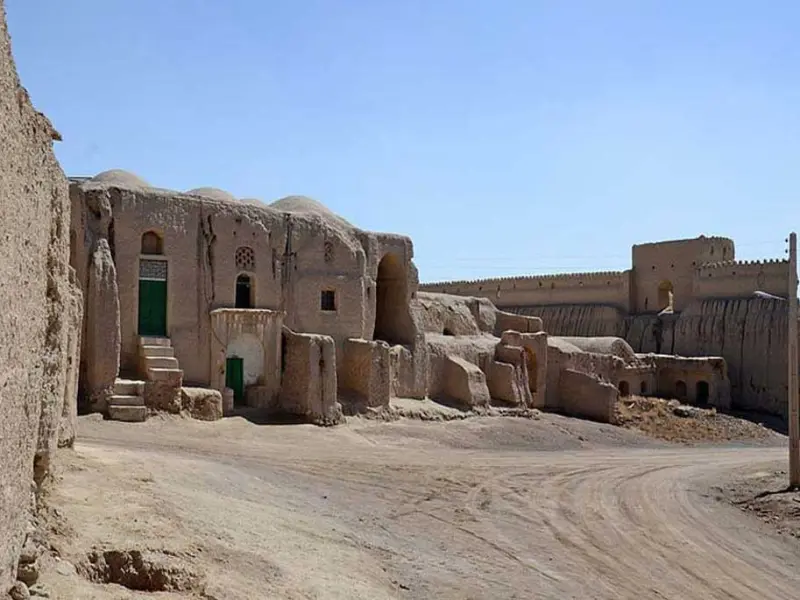
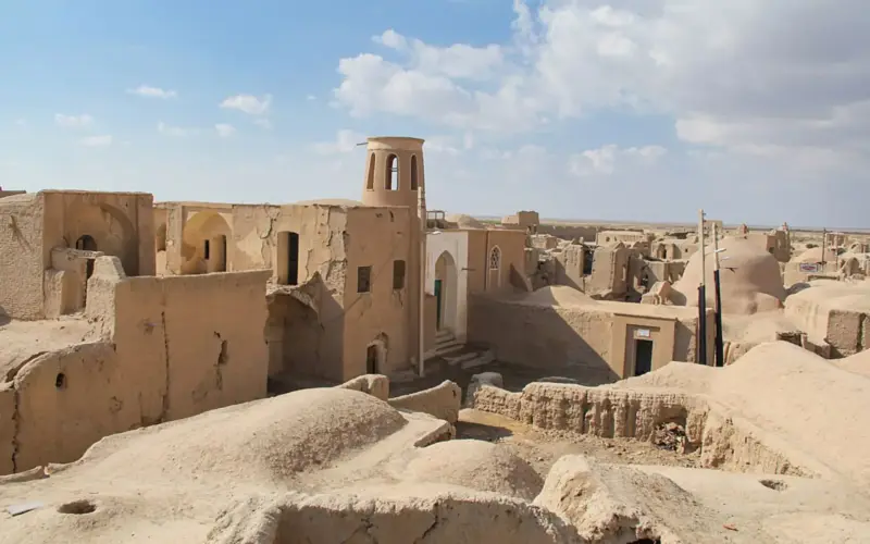
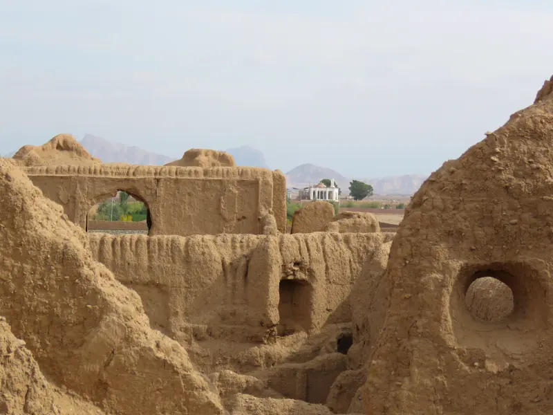
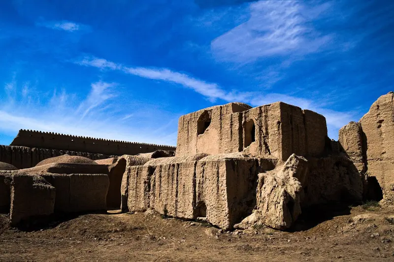
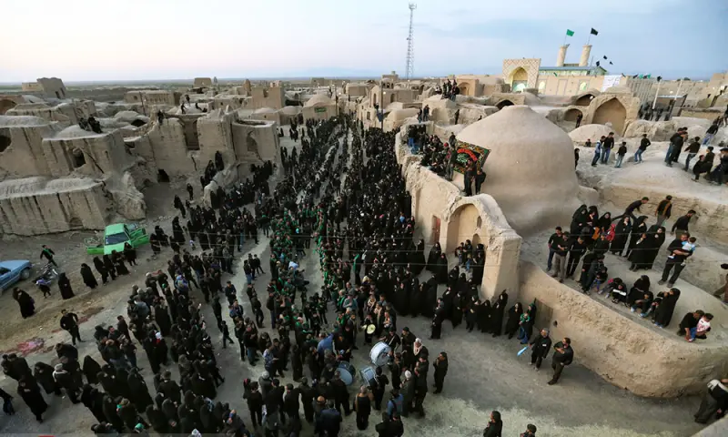
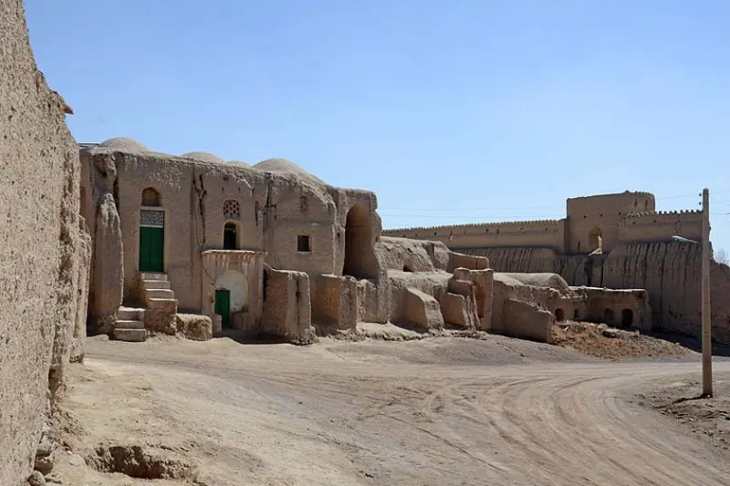
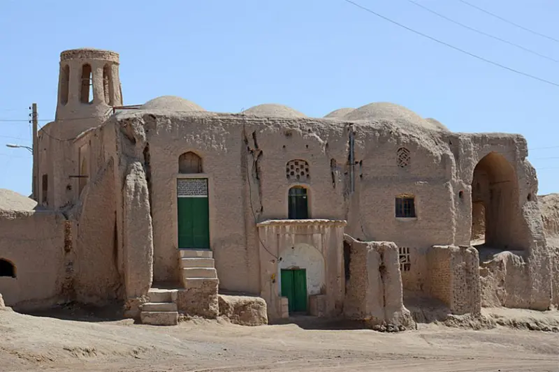
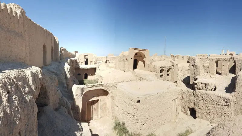
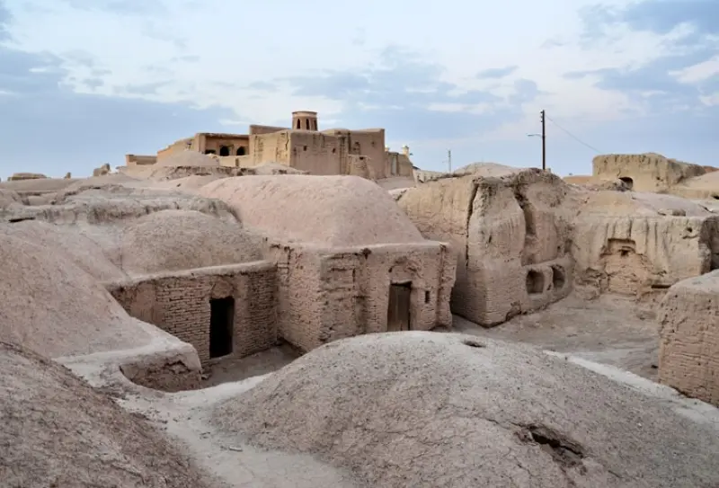
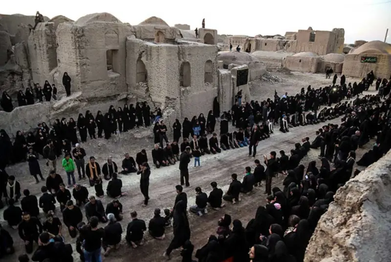
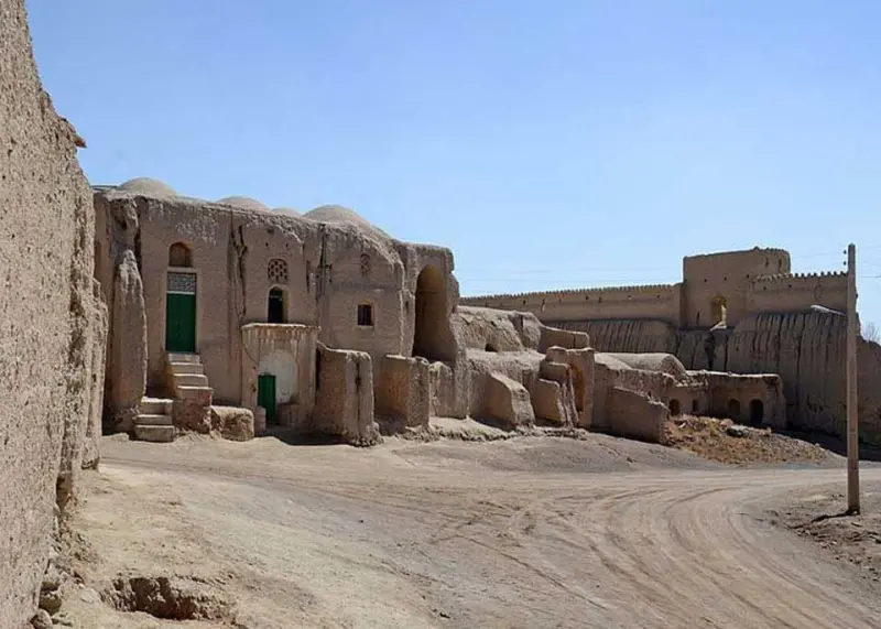
Ghurtan has a history stretching back several thousand years, although the exact date of its founding is unknown. Fragments of pottery found east of the village, near the farmland along the Zayandeh Rud, point to an ancient civilization dating back to the first millennium BCE. Ghurtan is home to one of the largest inhabited mud-brick fortresses in Iran, the Ghurtan Citadel. This Sasanian fortress covers about 43,000 square meters and has towers, mosques, a small bazaar, a bathhouse and a pigeon tower. It was lived in until 1956 (1335 in the Solar Hijri calendar) and still hosts the religious ceremony of "Zar Khak" on Tasua (the ninth day of Muharram) every year.
The origin of the village's name is also interesting. According to research by Dr. Jafari Zand in his book Isfahan Before Islam, names beginning with "Gur" usually refer to places that are lower and more sunken than the surrounding land, and Ghurtan has exactly this feature. To get there, after reaching Varzaneh, head north along the Zayandeh Rud; the fortress and village are easily reached by a side road. The best time to visit is from spring to early autumn, because in winter the river water and damp soil may damage the roads. When visiting, please stay on the marked paths, take your trash with you, and respect both the cultural heritage and the natural beauty of this historic site.
Written by زهرا لنگری Last updated
Activities
What you can do here, and what it takes
-
Walking
در پیرامون ارگ و حاشیه زایندهرود میتوانید قدم بزنید.
Specifications
Introduction of the location and specifications of Ghurtan Village
Location:
Isfahan, Varzaneh
Coordinates:
32.45120000, 52.55760000
Open in maps
Height above mean sea:
1480 meter
Floras:
Deserts and Dry Shrublands, Semi-desert
Faunas:
Presence of Predatory Animals, Presence of Allergenic Insects, Presence of Herbivorous Animals
Transports:
Private car, Minibus, Bus
Tourist Attractions in Isfahan
Attractions that are nearby

Ezhiyeh Historical Bridge
Province Isfahan
- Walking
An ancient relic of the Zayandeh Rud on the route east of Isfahan



Kolah Ghazi National Park
Province Isfahan
- Walking
A Treasure of Biodiversity in the Heart of the Desert
Nistanak Caravanserai
Province Isfahan
- Walking
A Qajar architectural masterpiece in the heart of Nain's desert landscape
Related tags:
Unfortunately, no comments have been registered.