
 Attractions
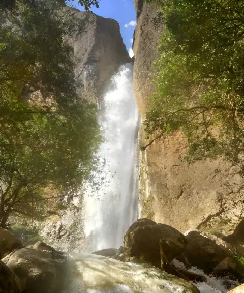

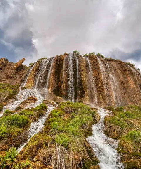
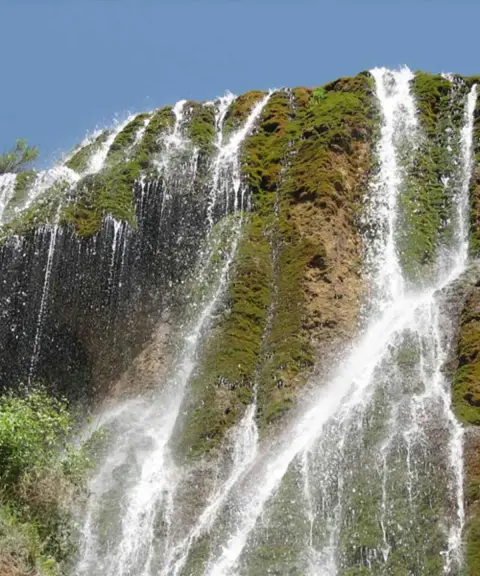
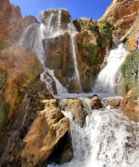
Borgan Waterfall
Province Isfahan
- Walking
The Masuleh of the Zagros, in the Heart of Zardkuh
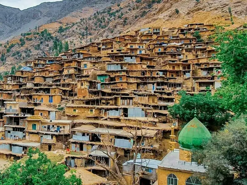
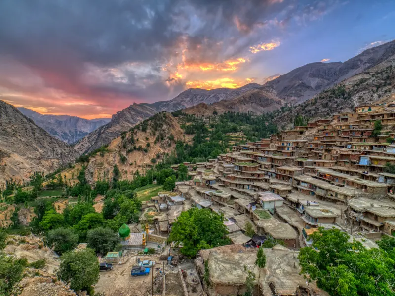
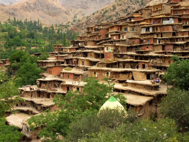
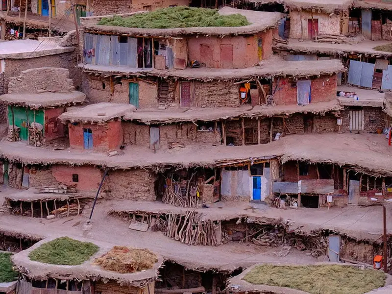
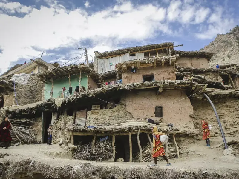
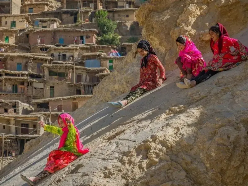
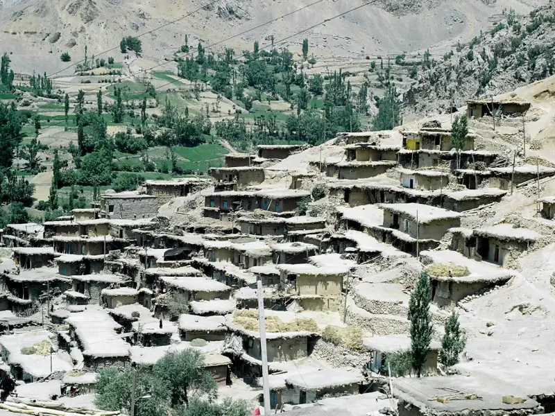
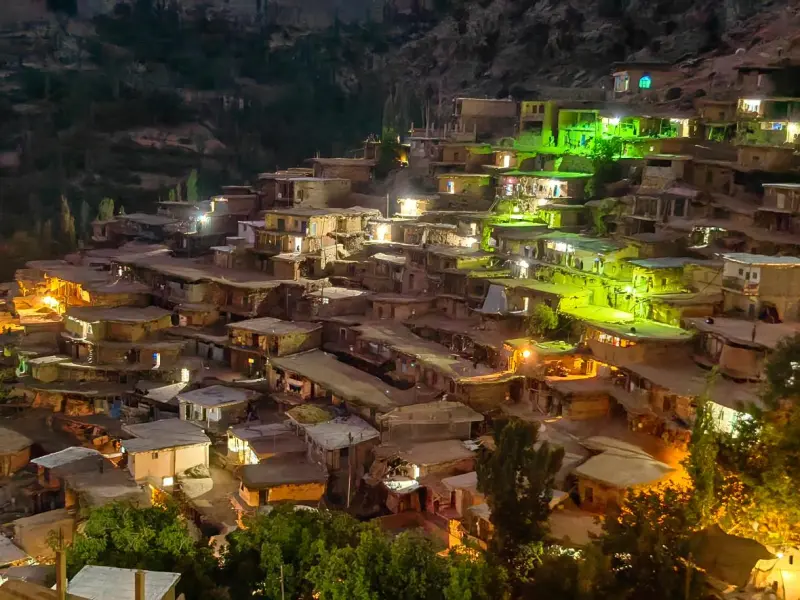
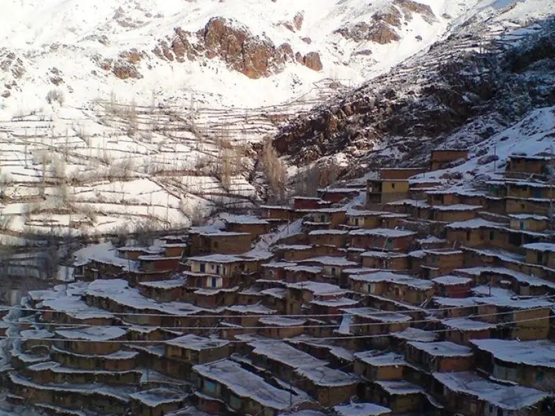
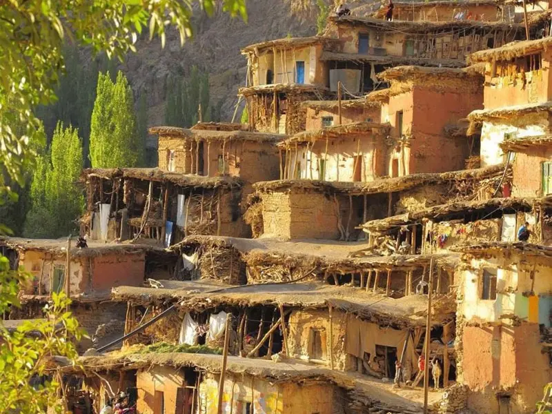
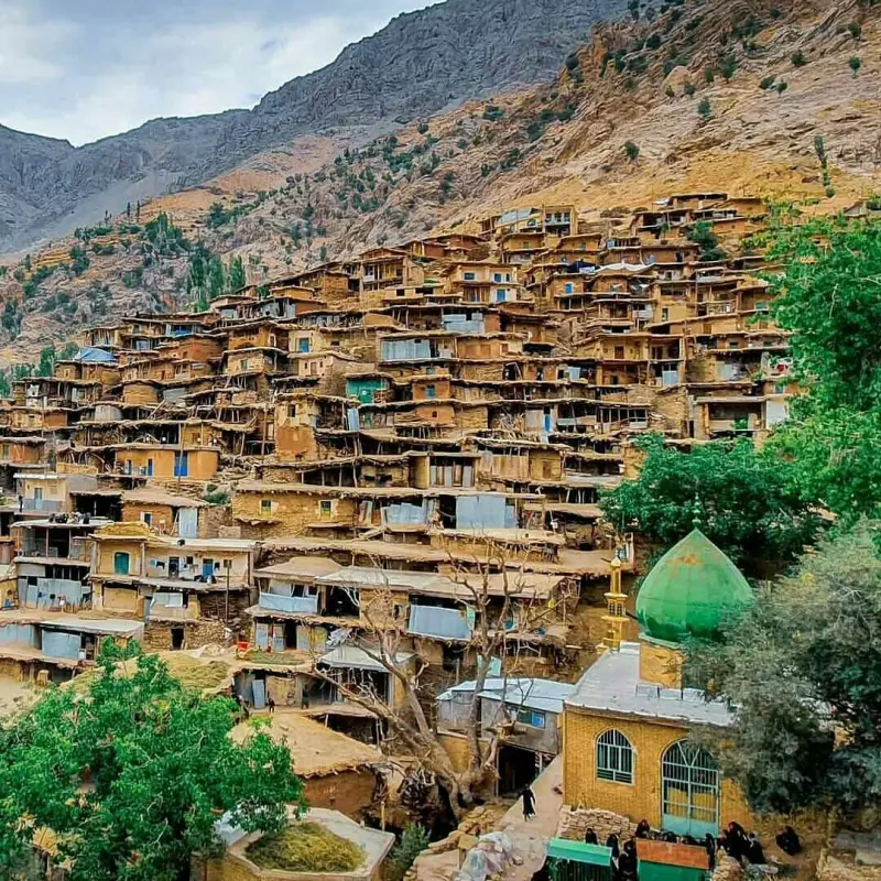
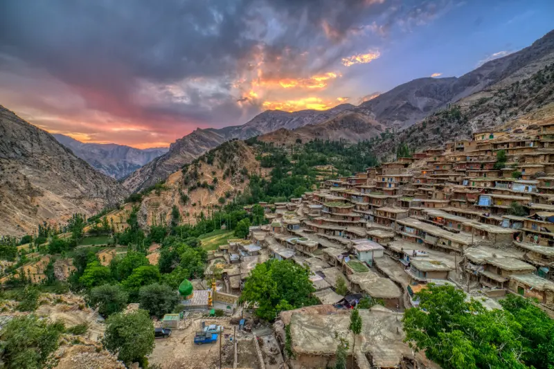
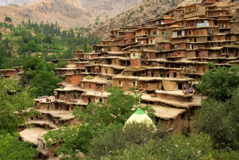
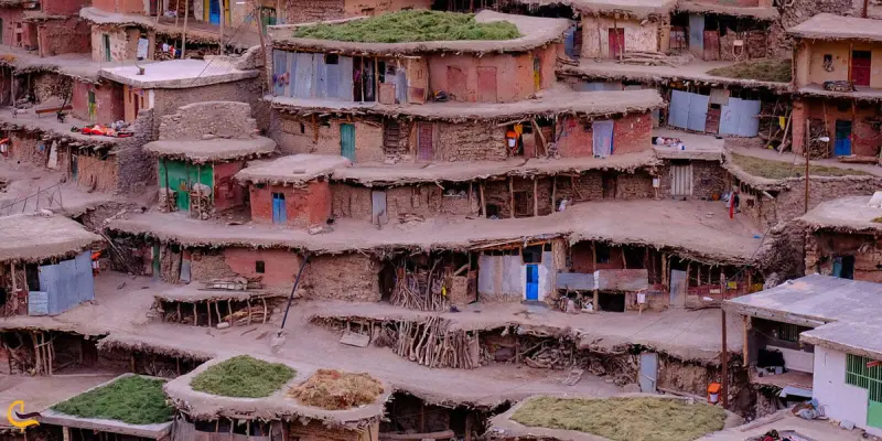
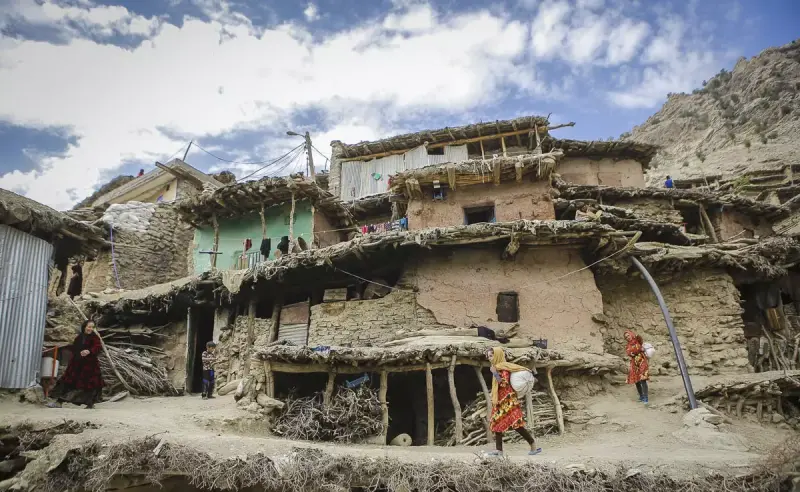
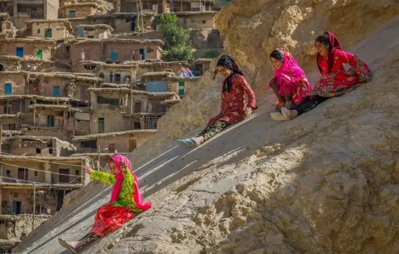
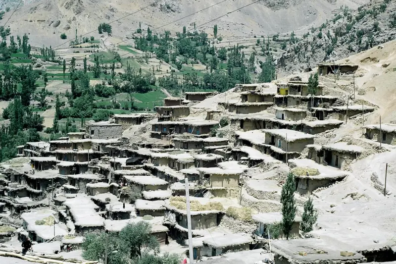
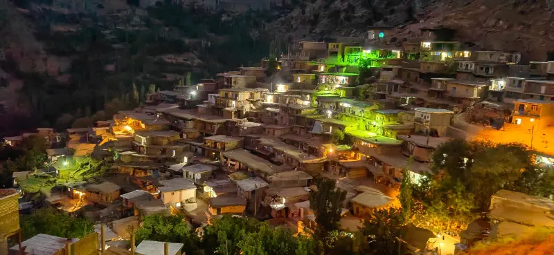
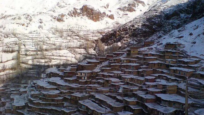
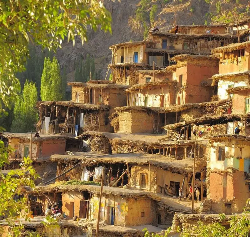
Sar Aghasid Village lies in the Central District of Koohrang County in Chaharmahal and Bakhtiari Province, on the slopes of the Zardkuh (Haft Tanan) mountain range. With its terraced layout, Sar Aghasid is one of Iran's most distinctive examples of traditional architecture. The houses are built into the mountainside in such a way that the roof of each house serves as the courtyard of the house above it. The stepped structure, the adobe and stone houses, and the unique architecture have earned it the name "the Masuleh of the Zagros."
In the 2006 census (1385 in the Solar Hijri calendar), Sar Aghasid had a recorded population of about 1,360 people in 208 households. Most of the villagers are Bakhtiari, and they have preserved a nomadic way of life alongside their age-old traditions. The vegetation around the village includes oak, plane, walnut and willow trees, as well as medicinal plants such as sumac, wild shallot (musir) and mountain mushrooms. Alongside this woodland, natural salt pools, orchards (walnut, pomegranate and grape) and cultural-natural landscapes are among the region's major attractions. A short distance from the village there is a distinctive spring called the Salt Spring (Cheshmeh Namak), one of the area's natural attractions. The nomads who live around this spring come to the area in the warmer seasons of the year, offering a glimpse of nomadic life in the heart of the mountains.
Another important site in the village is the Imamzadeh Seyyed Isa, located south of the village. This imamzadeh is said to be a descendant of Imam Musa al-Kazim, and his presence is said to be one of the reasons the village formed here. The locals hold this religious site in great respect, and many pilgrims also come to visit it. The route to the village continues from Chelgerd toward Sheikh Ali Khan; after the paved road, a winding dirt road leads to the village. It is a long and difficult route that is blocked by snow in winter and early spring. The best time to visit the village is from Ordibehesht to Mehr (roughly late April to October), when the Zagros landscape is at its most beautiful and the migration of the Bakhtiari nomads gives the region a fresh colour and atmosphere. When visiting Sar Aghasid, please respect the nature and local culture. Take your rubbish back with you, do not light fires in the wild, and walk carefully on the steep paths and in the mountain environment.
Written by زهرا لنگری Last updated
What you can do here, and what it takes
در کوچههای پلکانی و مسیرهای جنگلی اطراف روستا میتوانید گشتوگذار کنید و از مناظر کوهستان و حوضچههای نمک لذت ببرید.
Province Isfahan
Province Isfahan
Province Isfahan
Province Chaharmahal and Bakhtiari
Province Chaharmahal and Bakhtiari
Province Chaharmahal and Bakhtiari

Unfortunately, no comments have been registered.