
 Mountain
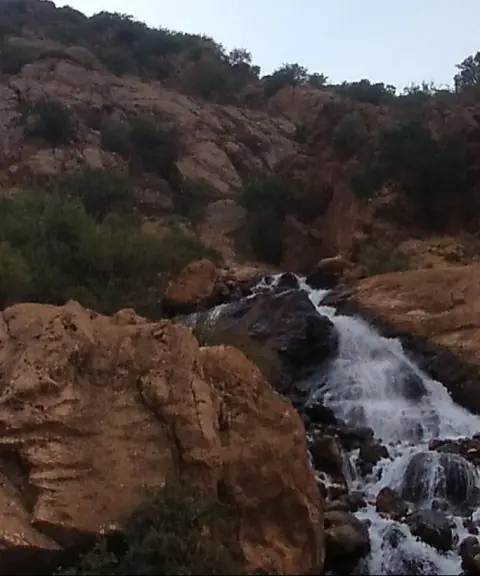

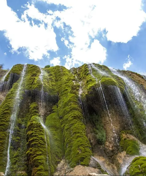
Pashandegan Waterfall
Province Isfahan
- Walking
- Swimming
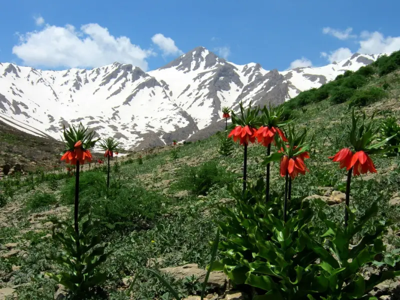
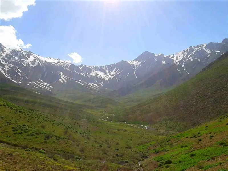
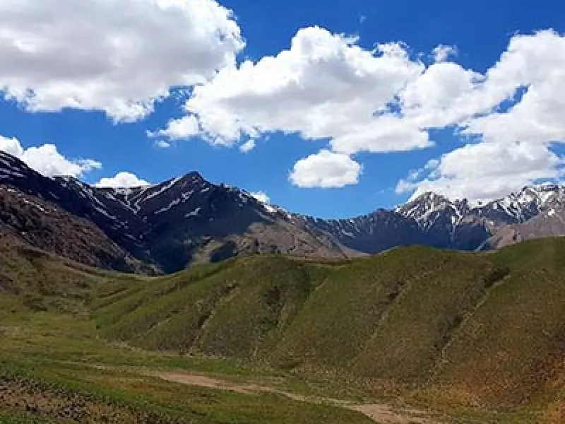
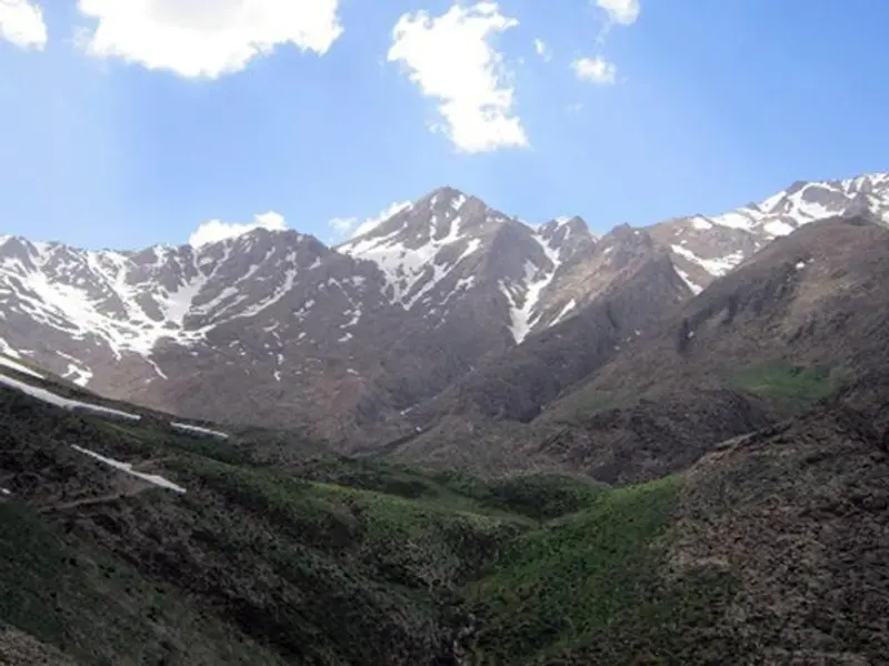
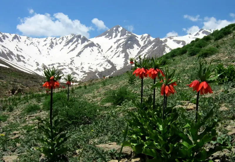
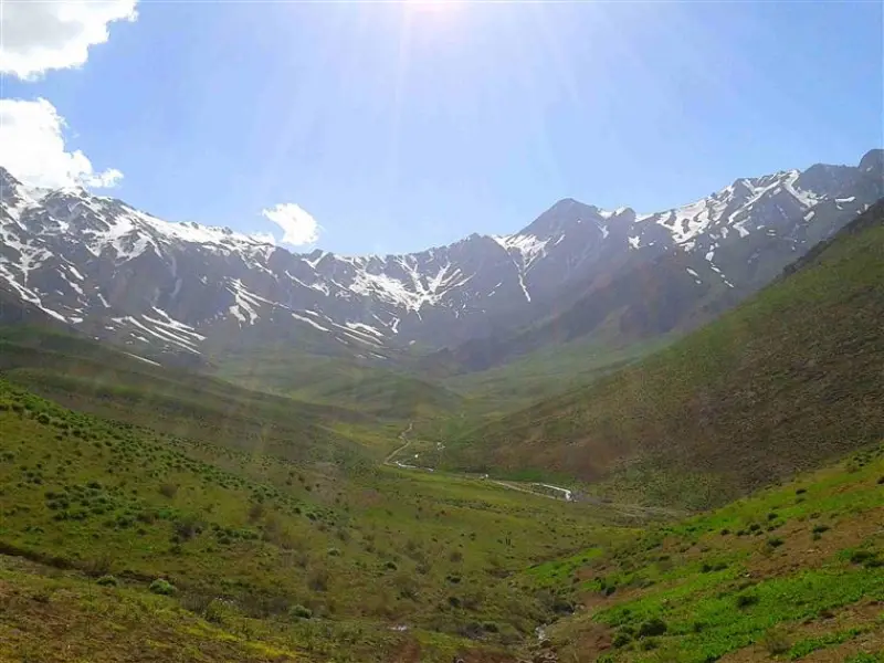
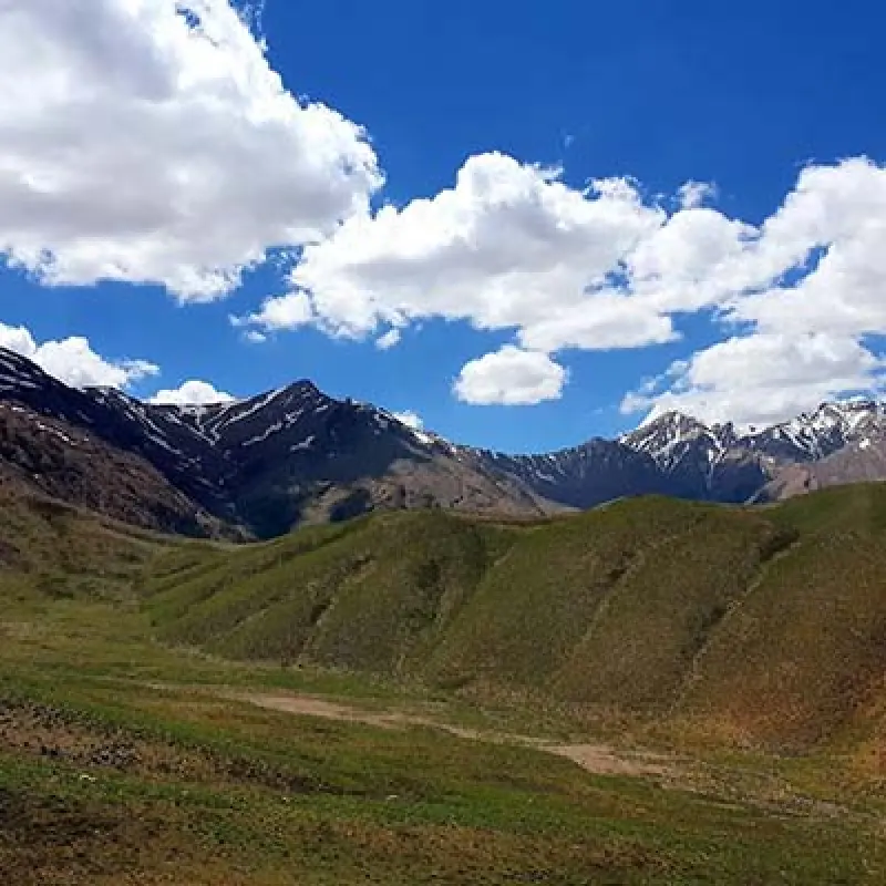
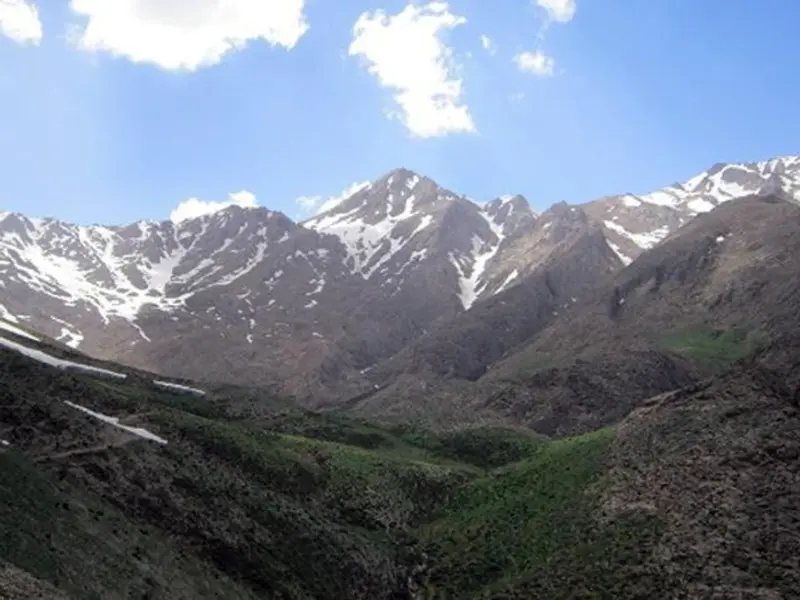
Shahan Kuh Peak in the Bakhtiari Mountains, at an elevation of 4,040 metres above sea level, lies 20 kilometres from Fereydunshahr. It is the highest peak in Isfahan Province and one of the most important summits of the Bakhtiari Mountains. The summit of Shahan Kuh stands on a ridge of the same name that is more than 43 kilometres long. The ridge runs in the same general direction as the main axis of the Zagros, northwest to southeast, and is made up of many mountains. From east to west these are: Dari, Dudkeshan, Chal Roghan, Shahan Kuh, Jeh Jar, Gurmishan, Darreh Ghul, Lashum, Bord Kheymeh, Chal Mishan and Marak. Shahan Kuh, Gurmishan and Lashum in particular have a high concentration of peaks.
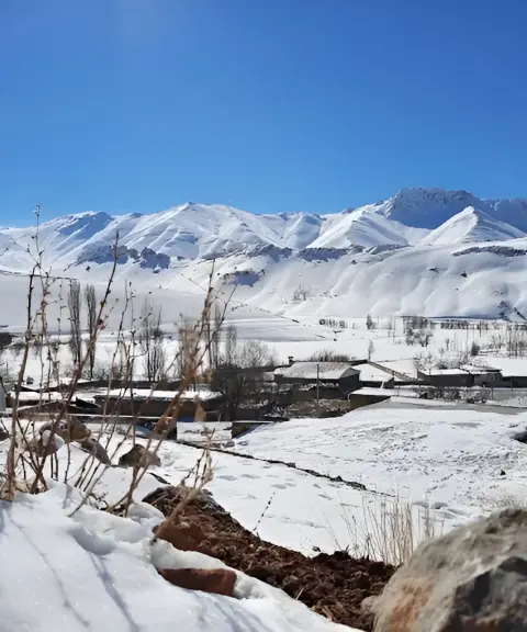
The Shahan Kuh range in Bakhtiari begins at the Vehargan Valley, 40 kilometres northwest of Fereydunshahr, and extends southeast to the Ab-e Meydanak Valley, 25 kilometres southwest of Fereydunshahr. It is about 43 kilometres long and 10 kilometres wide on average. Annual precipitation in the range is between 800 and 1,000 millimetres, and the average annual temperature is between 5 and 10 degrees Celsius. The area is drained by the Khedangestan River, Ab-e Torzeh, Ab-e Seh Pestan and Ab-e Sardab, and the Langan Spring lies to the north of the range. It is worth mentioning that this region has been a summer pasture (yeylaq) for the Bakhtiari nomads for thousands of years.
Plants found in this region include fritillaries (crown imperial tulips), various kinds of milkvetch (gavan), kama, jashir, sorrel, zul, chavil, wild celery, rhubarb, mushrooms, wild leek and wild dill. Wildlife includes various wild birds such as eagles, pheasants and partridges, as well as several kinds of wild goat and ibex, bears, wolves, jackals and hares.
Because of its location, slopes and weather conditions, Shahan Kuh is considerably difficult. Along most of the route, especially the final sections, the slopes are steep and rocky. For this reason the climb is challenging for beginner climbers. The eastern route (from Sardab village) passes through the Arab Gorge, which has rocky corridors that require technical skills. The climb from Sardab village to the summit is about 10 kilometres and involves an elevation gain of about 1,490 metres. The length of the route can make the ascent harder, especially for climbers who are not used to long, demanding climbs. Overall, Shahan Kuh is of moderate to difficult grade. It is a good choice for climbers looking for technical and physical challenges, but the ascent requires good physical fitness, knowledge of mountaineering techniques and suitable equipment.
Based on climbers' experience, the best and most popular route to the summit of Shahan Kuh is the eastern route, starting from Sardab-e Bala village and going through the Arab Gorge. To reach Sardab-e Bala village, go from Isfahan to Fereydunshahr, then continue to Sardab-e Bala village. Keep following the road beyond the village until it ends and you reach the nomads' settlement.
Written by کیانا دهبندی Last updated
What you can do here, and what it takes
به دلیل طولانی بودن و فنی بودن مسیر نیازمند آمادگی جسمانی بالایی میباشد.
Province Isfahan
Province Isfahan
Province Isfahan
Province Isfahan
Province Isfahan
Province Chaharmahal and Bakhtiari
Province Isfahan

Unfortunately, no comments have been registered.