
 Attractions
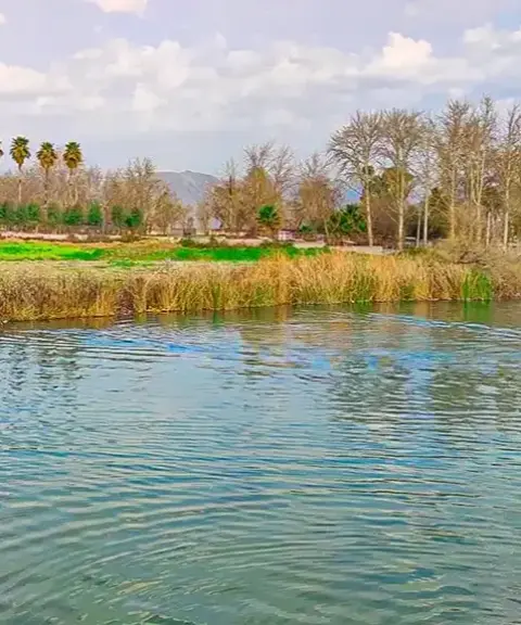
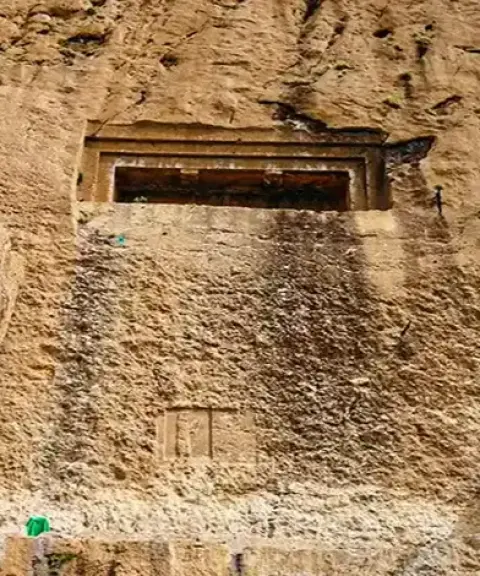
Dire Rock-Cut Tomb
A rock-cut tomb from the Median period in the mountains of Kermanshah
- Attractions
- Kermanshah, Gilan-e Gharb
- Altitude 676 m
- Ability level Beginner
Ability level:
Beginner
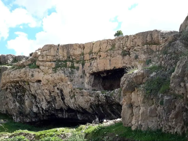
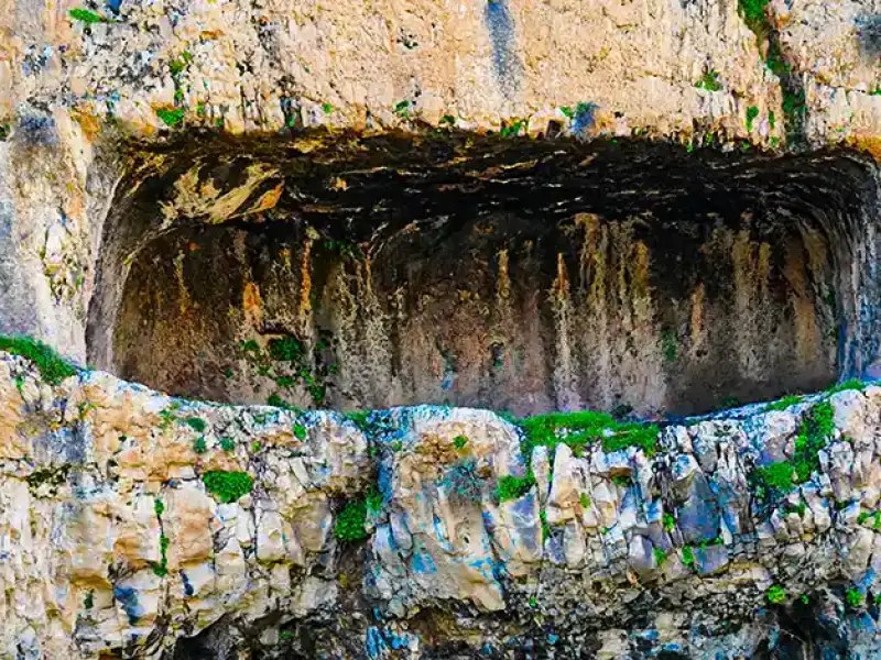
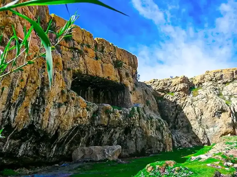
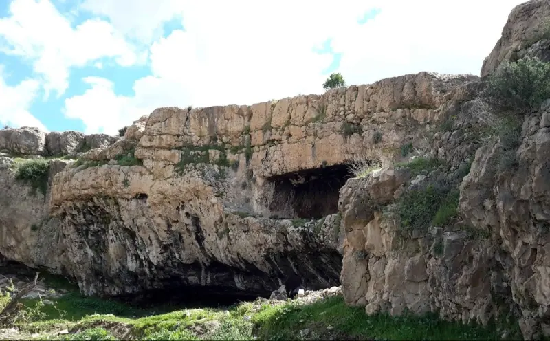
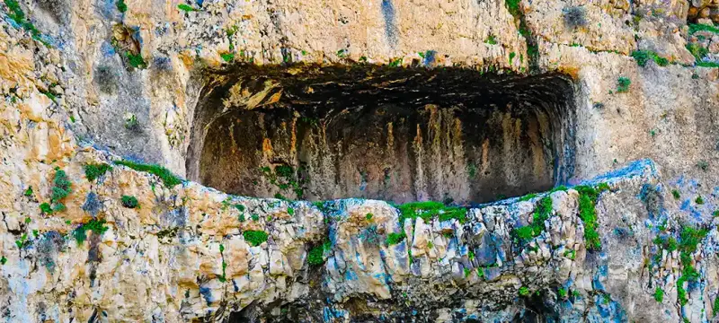
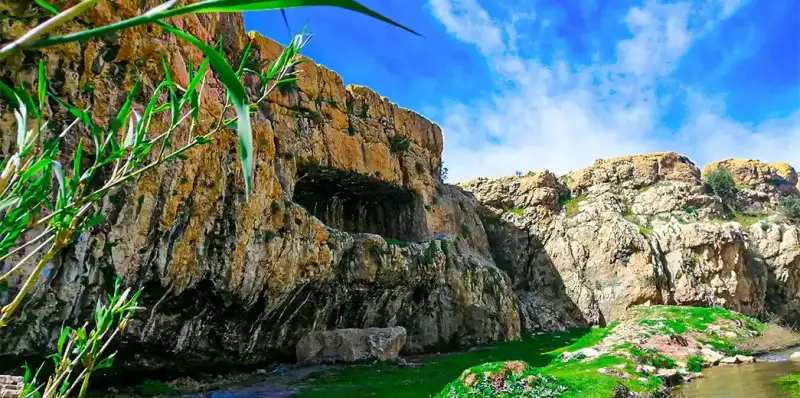
The Dire Rock-Cut Tomb, also known as Taq-e Farhad, Otagh-e Farhad or Farankan, is one of the notable historical monuments of Kermanshah Province. It is located in Gilan-e Gharb County, near the village of Shelin in Dire Rural District, and was registered as a National Heritage Site of Iran on 29 Azar 1316 (20 December 1937) under registration number 304.
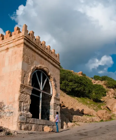
This rock-cut tomb takes the form of a rectangular entrance carved into the rock face, leading to an interior chamber of roughly 6 metres in length, 3 metres in width and 2 metres in height. Inside the chamber, niches have been cut for placing votive offerings and religious objects. The entrance is built of dressed stones laid without mortar, which shows the architectural skill of the Median period.
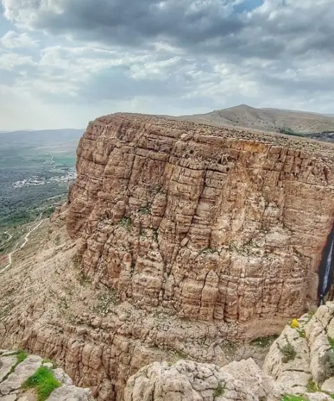
The route to the Dire Rock-Cut Tomb runs from Sarpol-e Zahab toward the village of Dire, and beyond the village the tomb lies in Tang-e Hammam. The route passes through the unspoiled mountain scenery of the region, and the walk usually takes between 30 and 45 minutes. The best time to visit is spring and early summer, when the weather is mild and the surrounding landscape is green. Practising responsible nature tourism, including taking your litter with you and wearing suitable footwear, is essential for preserving this cultural heritage.
Written by زهرا لنگری Last updated
Activities
What you can do here, and what it takes
-
Walking
مسیر دسترسی به گوردخمه دیره از میان طبیعت بکر و کوهستانی منطقه میگذرد و پیادهروی بین ۳۰ تا ۴۵ دقیقه زمان میبرد.
Specifications
Introduction of the location and specifications of Dire Rock-Cut Tomb
Construction Period:
Achaemenid or Parthian
Location:
Kermanshah, Gilan-e Gharb
Coordinates:
34.31353368, 45.89090292
Open in maps
Height above mean sea:
676 meter
Floras:
Semi-desert
Faunas:
Presence of Allergenic Insects, Presence of Herbivorous Animals
Transports:
Private car, Walking, Minibus
Native Languages:
Kurdish
Tourist Attractions in Kermanshah
Attractions that are nearby

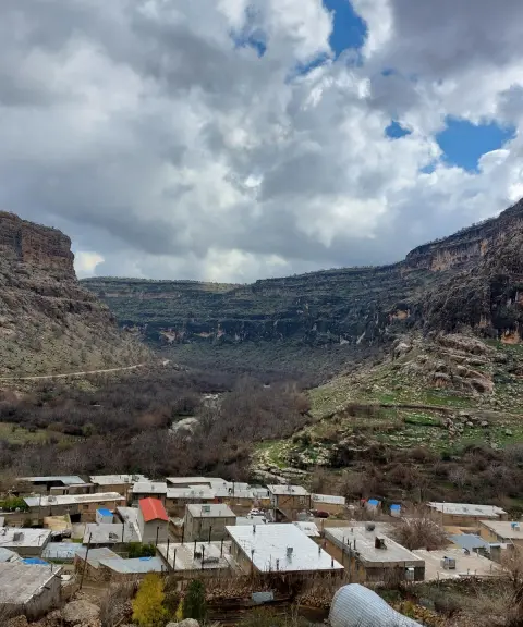
Golin Village
Province Kermanshah
- Walking
- Fishing
A lush gem in the heart of historic and natural valleys
Dokkan-e Davud Rock-Cut Tomb
Province Kermanshah
- Walking
A historic tomb carved into the ancient rocks of Kermanshah



Related tags:
Unfortunately, no comments have been registered.